

- Brief description
-
Easy, sunny and almost flat is the favourite winter walk of the inhabitants of Capriana.
- Difficulty
-
easy
- Rating
-
- Starting point
-
Capriana
- Route
-
Giocabosco2.5 kmPra dal Manz2.5 kmAltrei (1,222 m)5.2 km
- Best season
-
AugSepOctNovDecJanFebMarAprMayJunJul
- Description
-
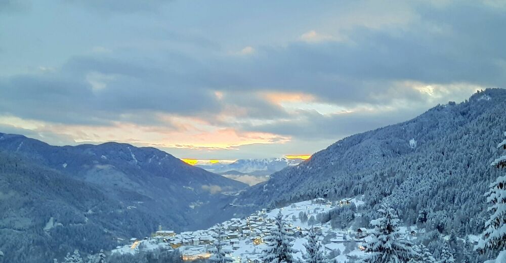
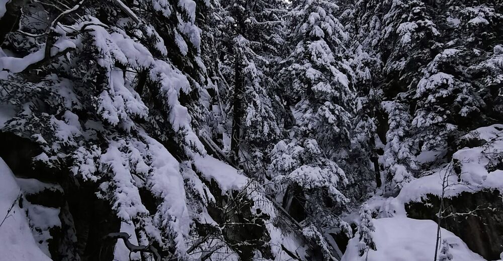
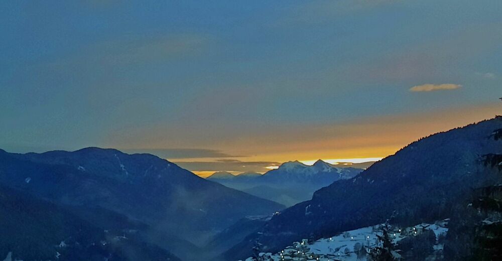
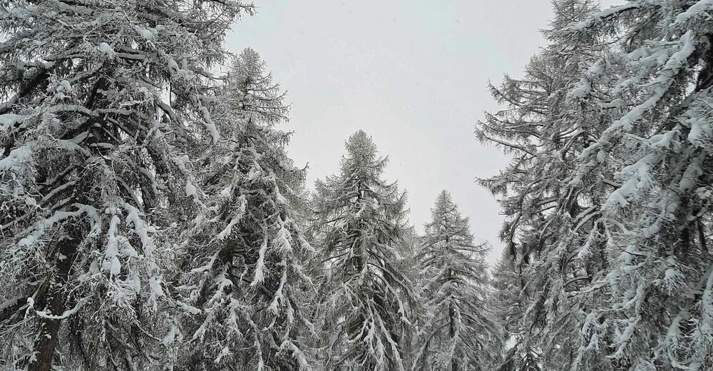
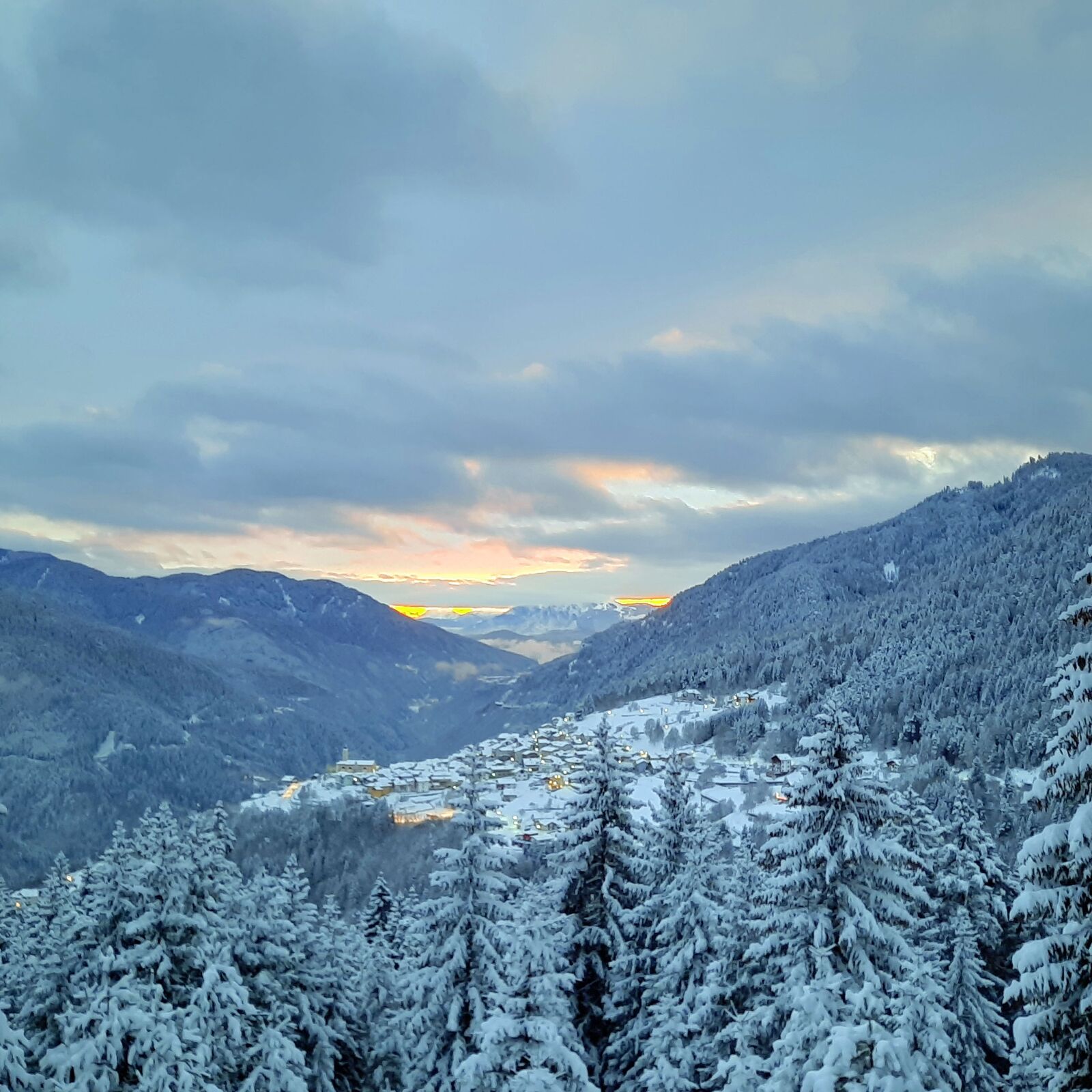
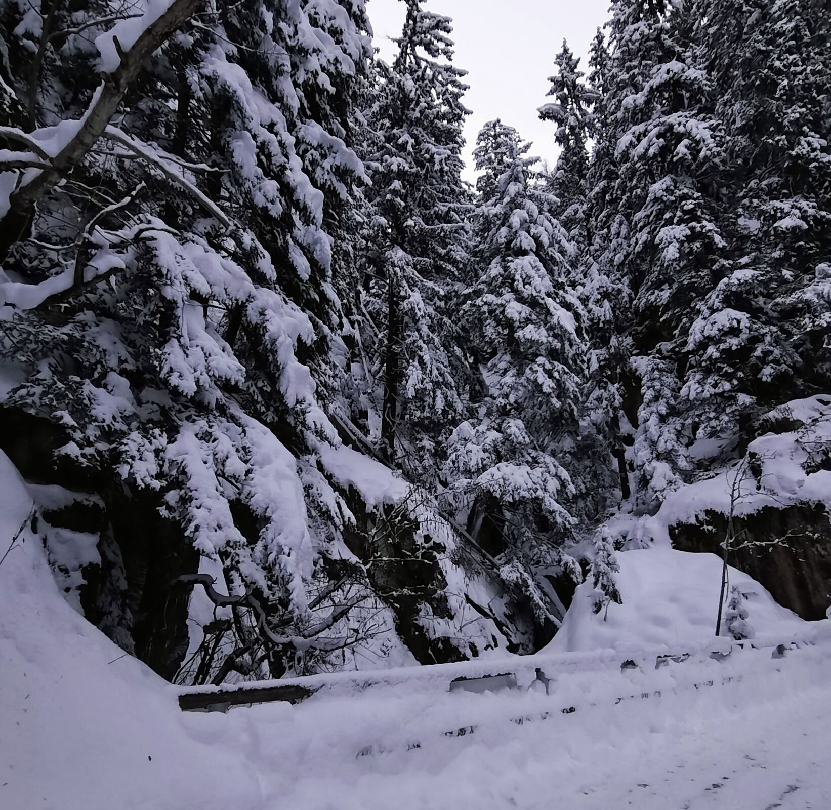
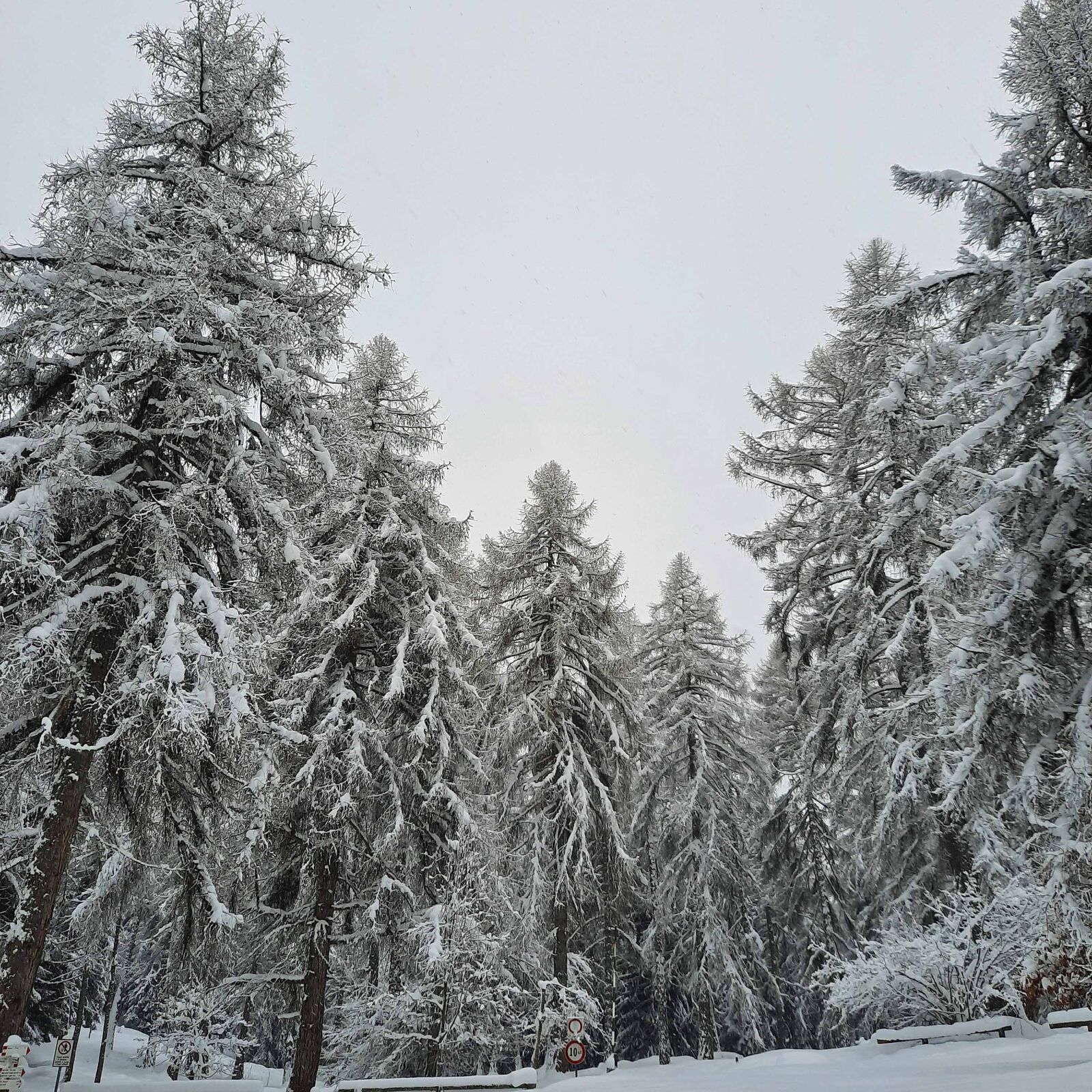
The trail winds along the borders of the Monte Corno Nature Park on a road closed to traffic in winter. Along the way you can observe different types of trees such as broadleaves and evergreen conifers. Watch around you. You will be surrounded by the peaks of Catena del Lagorai and the porphyry quarries of Val di Cembra as well as the characteristic Müller Thurgau vineyards.
- Directions
-
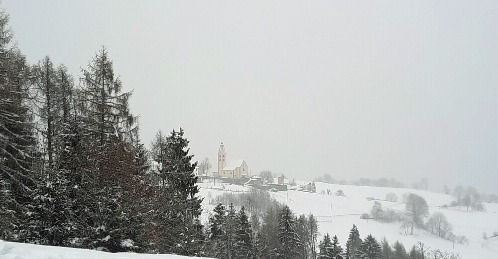
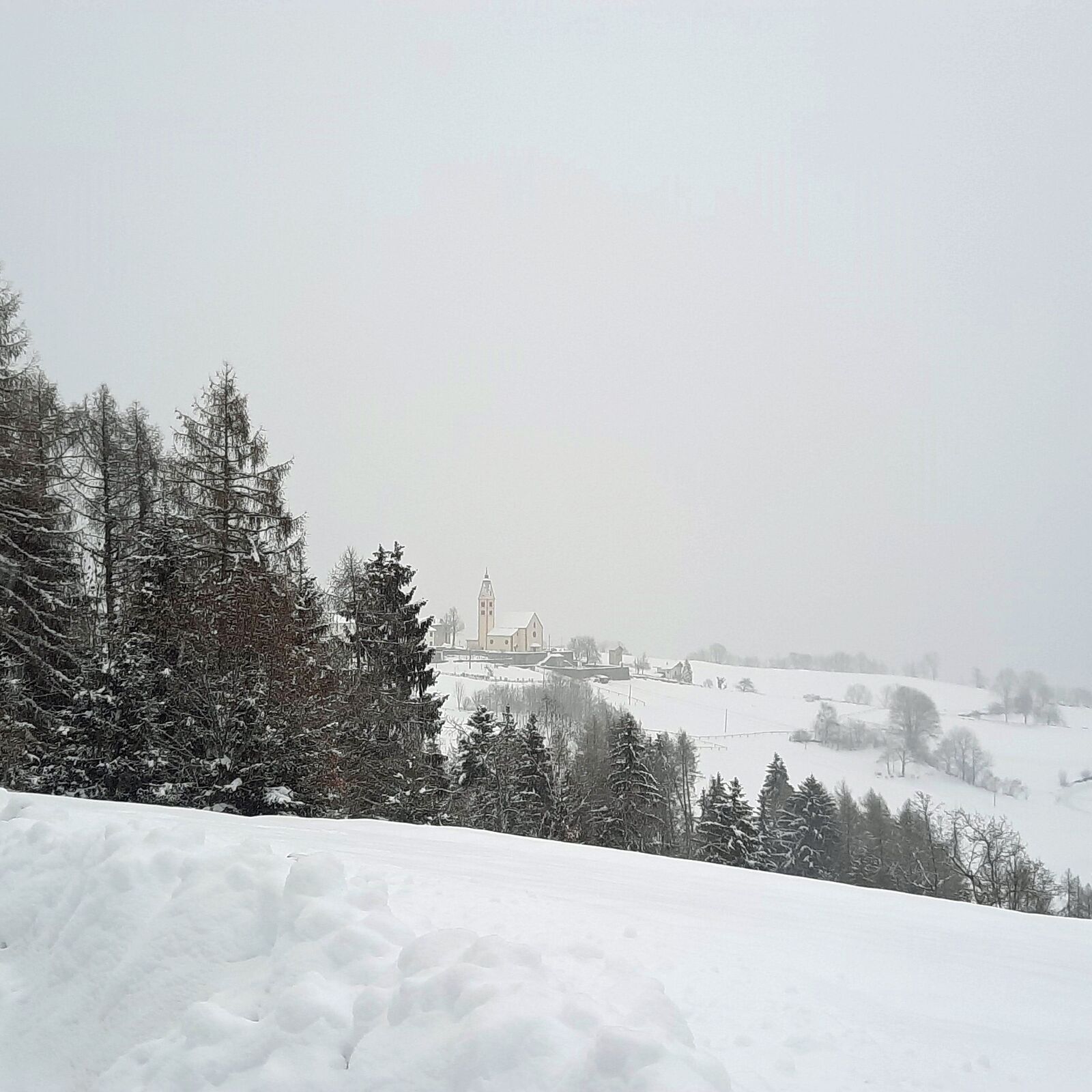
At the beginning of the walk, you will cross the porphyry quarry where they extract the cobblestones used to pave the streets. Scots pines and birches shadow the following part of the trail. You will reach Pra del Manz with its lush wood of larches and the colourful Giocabosco playground. By continuing the walk among majestic silver firs and spruces, you will get to the typical hamlet of Anterivo which draws a wonderful landscape over Val di Cembra. In the distance you can see Monte Bondone, the mountain overlooking the town of Trento.
For going back, walk along the same route.
Translated by the students of the 5AL Language High School, Cavalese.
- Highest point
- 1,223 m
- Endpoint
-
Capriana
- Height profile
-
 © outdooractive.com
 - Equipment
-
Hiking shoes and warm winter clothes.
- Safety instructions
-
Experience walking along irregular mountain trails is recommended. It may happen that the path is not clear form snow. In the event of fresh snow, microspikes are recommended. Be careful of ice when temperatures are particularly low.
Please note that the practicability of the itineraries in a mountain environment is strictly linked to the contingent conditions and is therefore influenced by natural phenomena, environmental changes and weather conditions. For this reason, the information contained in this page may have changed. Before leaving for a tour, make sure the path you will approach is still accessible by contacting the owner of the mountain hut, the alpine guides or the visitor centres of the nature parks, the info offices of the local tourist board.
- Tips
-
The road is closed to traffic but you may still bump into some vehicles.
- Additional information
- Directions
-
From Cavalese and Predazzo drive towards Val di Cembra on SS 612, then take the road on the right (SP 51) that leads to Capriana and follow the signboards for Pra dal Manz.
- Public transportation
-
Trentino Trasporti buses connect Val di Fiemme to Capriana.
- Parking
-
Parking is allowed at the starting point or a little further on at the porphyry quarry.

-

-
AuthorThe tour From Capriana, through Pra dal Manz, to Anterivo is used by outdooractive.com provided.