- Brief description
-
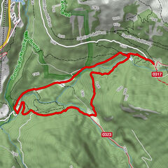
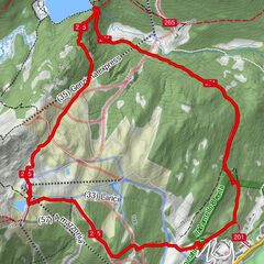
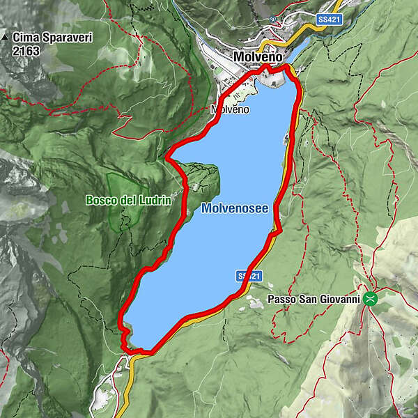
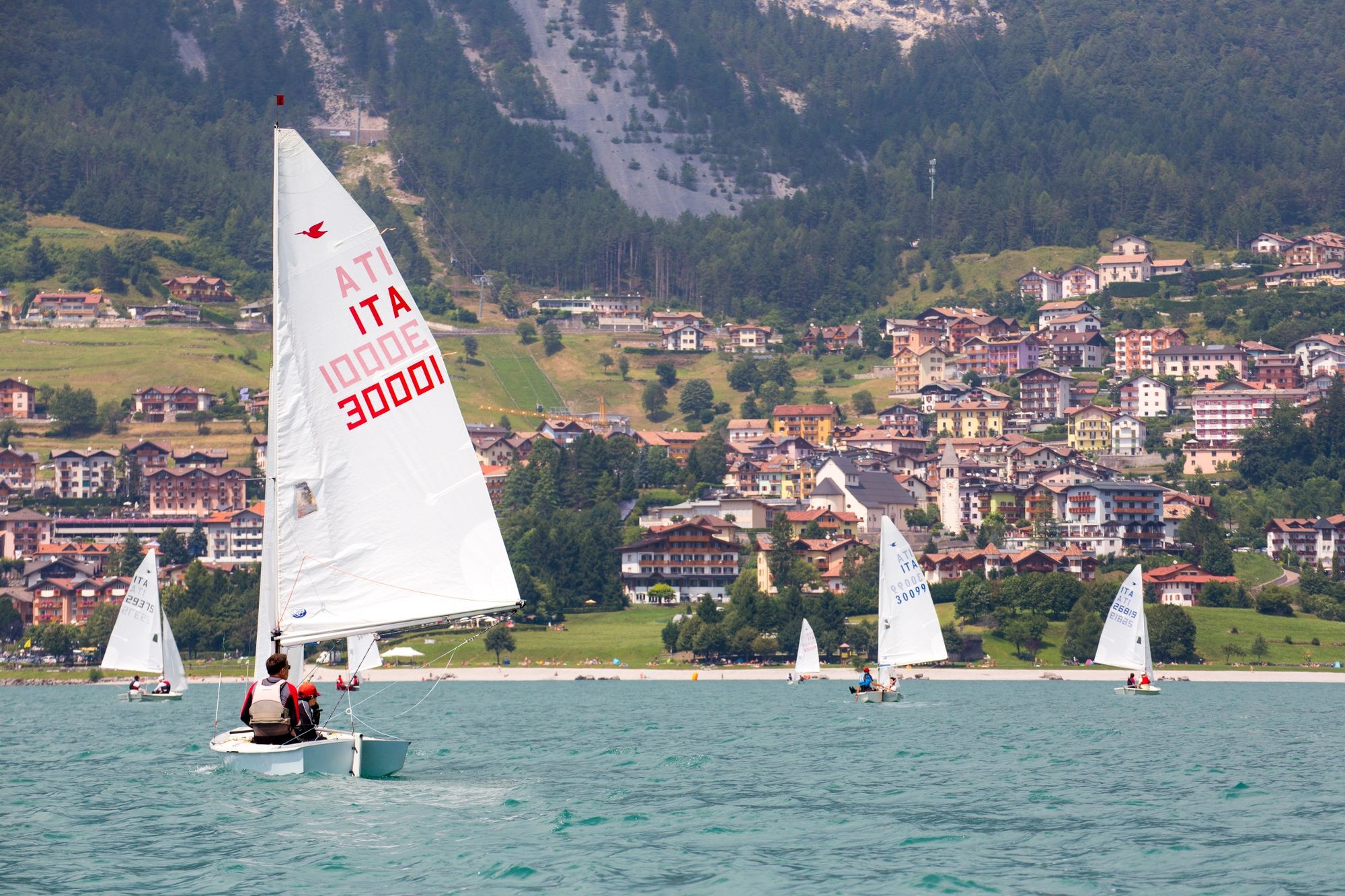
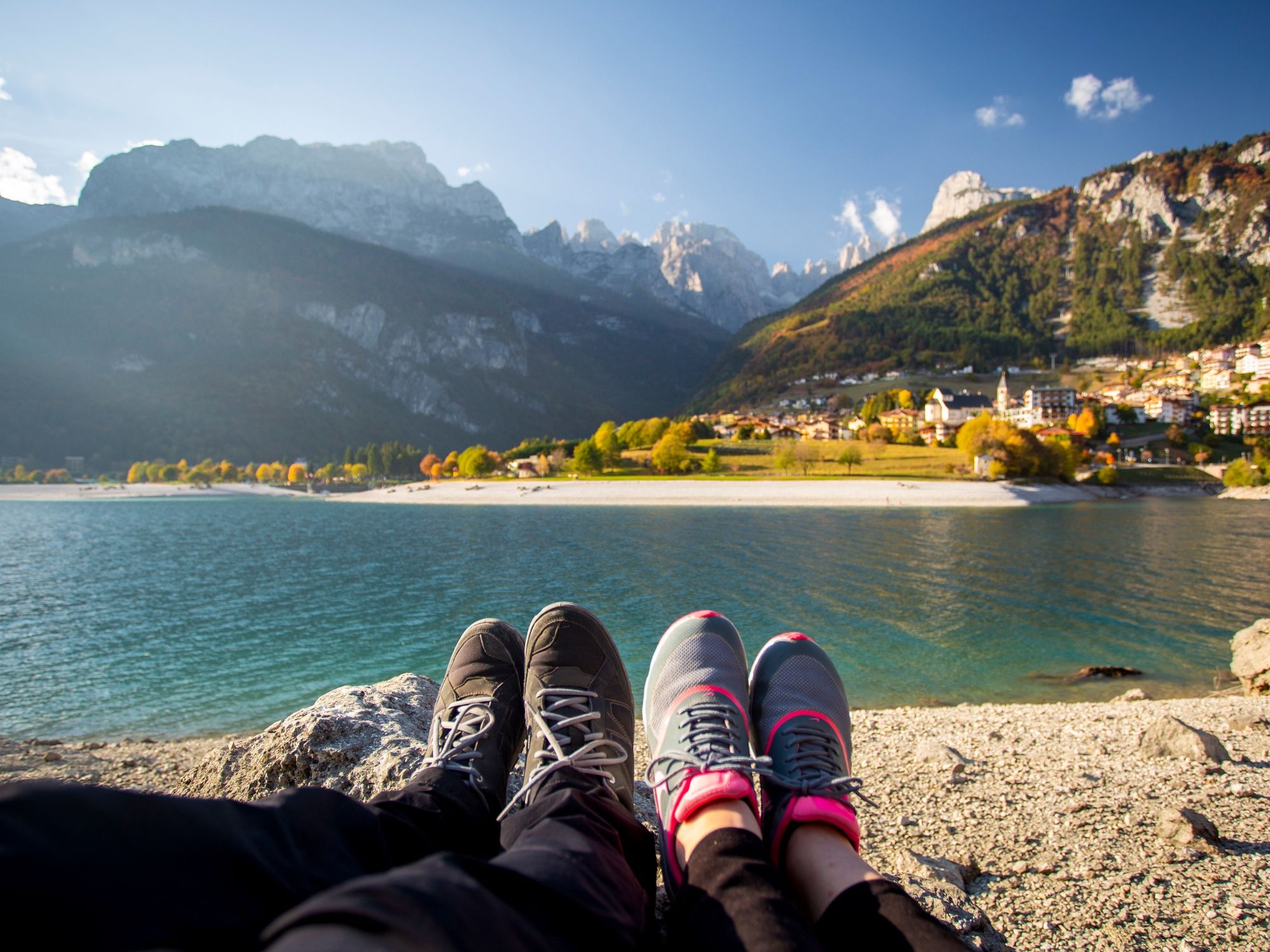
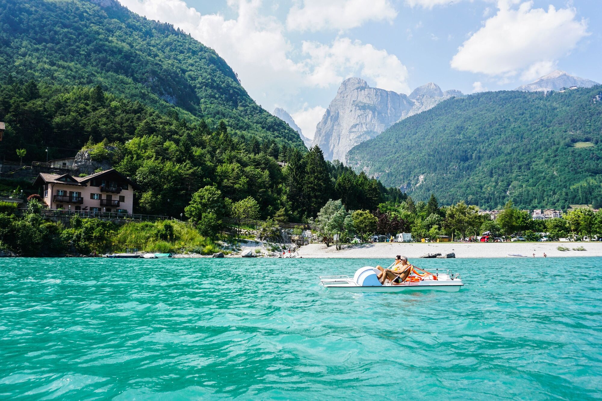
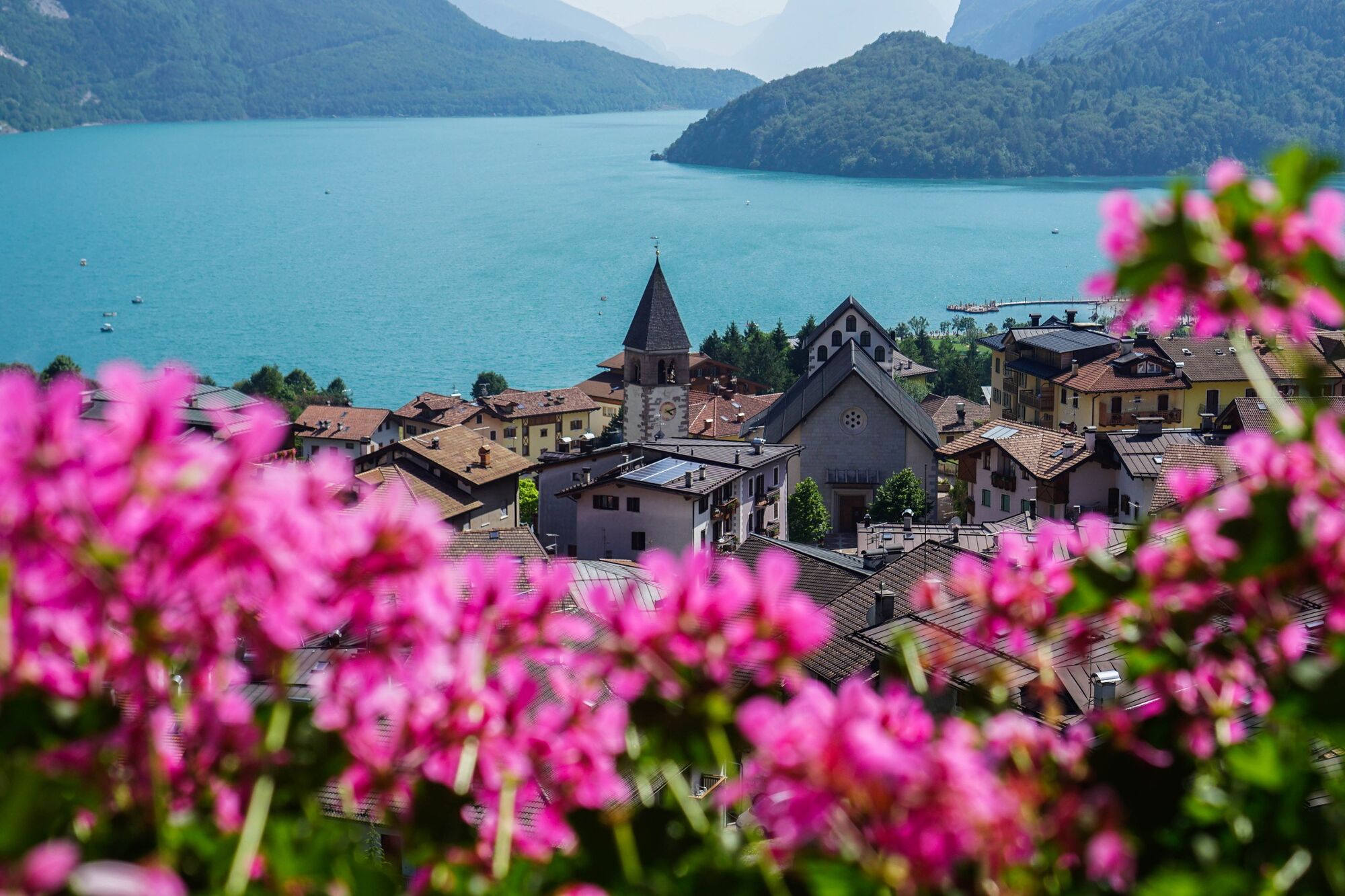
Easy, familywalk all around the lake.
- Difficulty
-
easy
- Rating
-
- Starting point
-
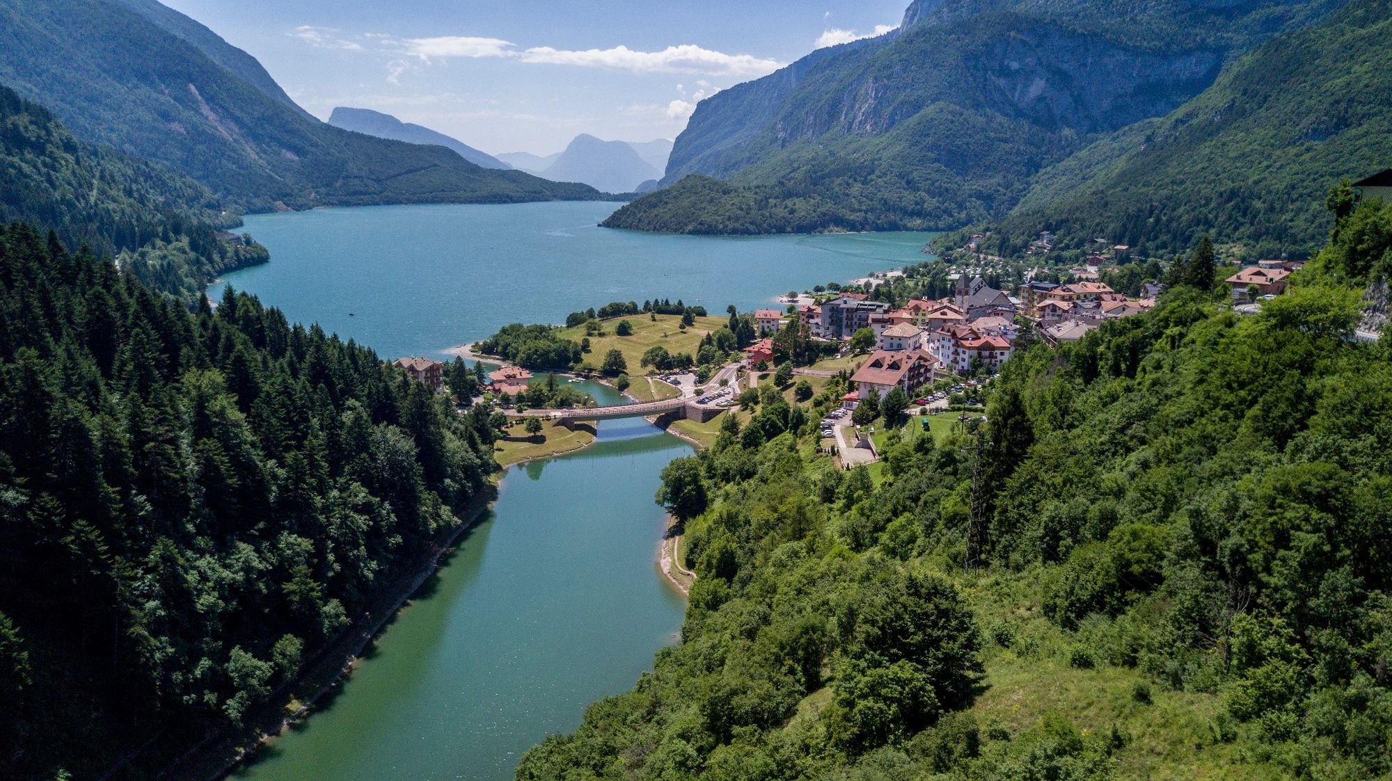
Campingsite Molveno
- Route
-
Molveno9.5 km
- Best season
-
JanFebMarAprMayJunJulAugSepOctNovDec
- Directions
-
An easy walk on the shores of lake Molveno, discovering its unspoiled nature. Starting from the campsite, follow the signs to Ponte Romano and Fortini di Napoleone. The walk goes on along the western shore of the lake first, and along the panoramic path on the eastern shore then. Return to Molveno on the path “Re dei Belgi” and Bior bridge.
- Highest point
- 895 m
- Endpoint
-
Campingsite Molveno
- Height profile
-
 © outdooractive.com
 - Safety instructions
-
Please note that the practicability of the itineraries in a mountain environment is strictly linked to the contingent conditions and is therefore influenced by natural phenomena, environmental changes and weather conditions. For this reason, the information contained in this page may have changed. Before leaving for a tour, make sure the path you will approach is still accessible by contacting the owner of the mountain hut, the alpine guides or the visitor centres of the nature parks, the info offices of the local tourist board.
- Tips
-
Visit to “Fortini di Napoleone” (fortifications ruins)
- Directions
-
Motorway exit Trento nord, then direction Val di Non and Altopiano della Paganella. At the exit of the long tunnel, near the village of Mezzolombardo, we turn right on the SP 64, direction Fai della Paganella - Andalo - Molveno.
- Public transportation
-
Trentino Trasporti - line 611.
- Parking
-
Parking places in the lake area.
-

-
AuthorThe tour Lake Molveno walking tour is used by outdooractive.com provided.