
- Brief description
-
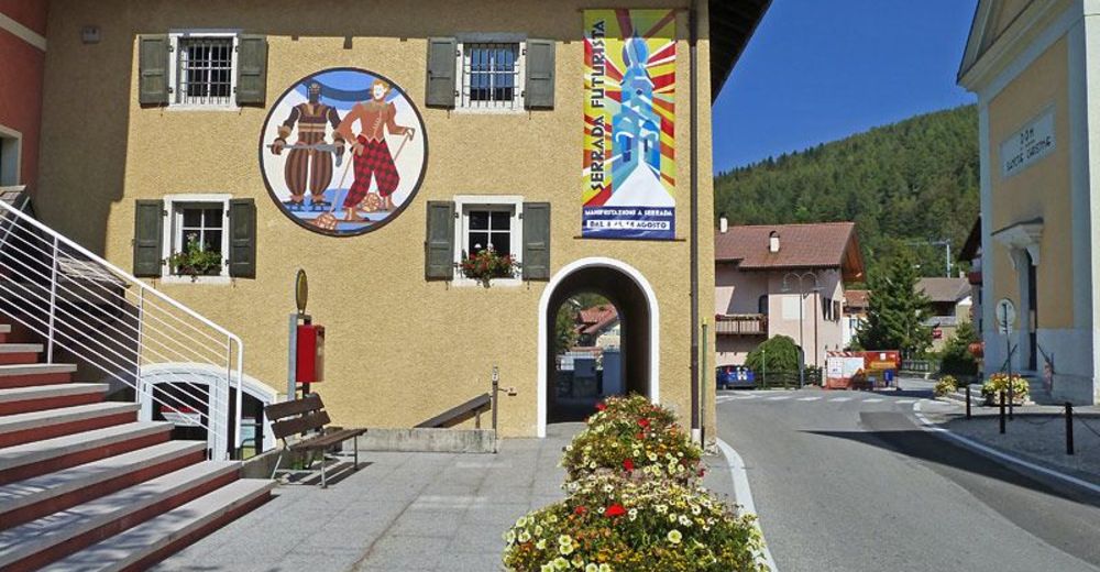
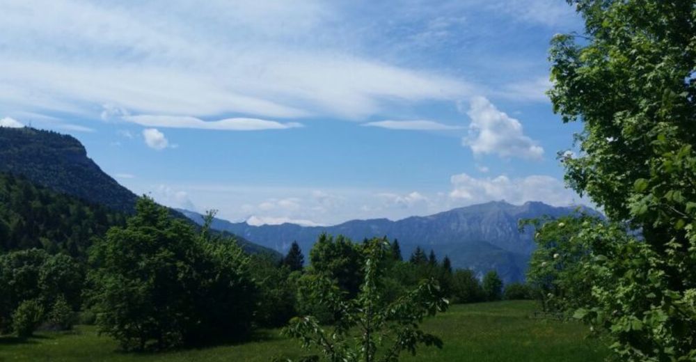
Naoch (or Nauch) is a toponym of German-Cimbrian derivation and indicates the hillock that rises south of the village of Serrada, on the ridge of Mount Finonchio. Given its position, the hill was chosen by the ancient inhabitants of the area to place a small rural church, the foundations of which remain. During the Great War it was also the site of a series of front-line trenches, facing the Terragnolo valley below.
- Difficulty
-
medium
- Rating
-
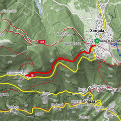
- Route
-
La Prok0.4 kmKan Puzen1.4 kmSerrada (1,250 m)2.3 km
- Best season
-
JanFebMarAprMayJunJulAugSepOctNovDec
- Description
-
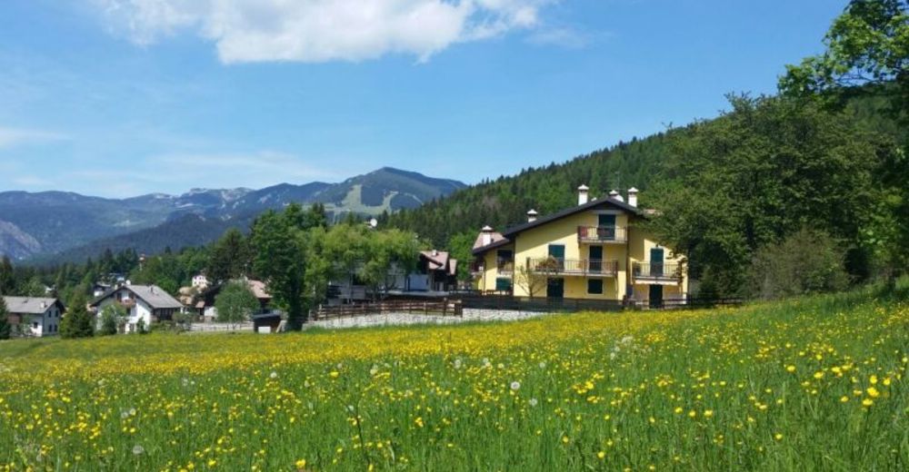
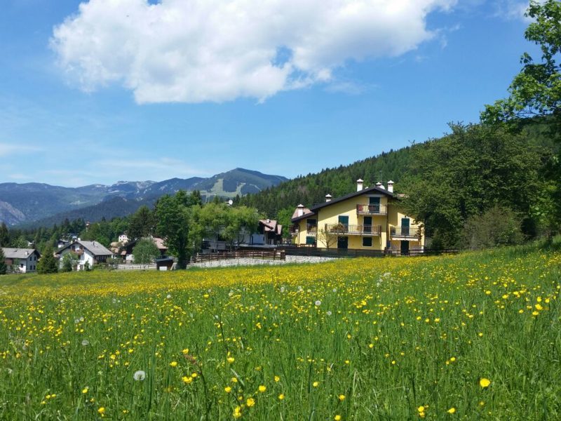
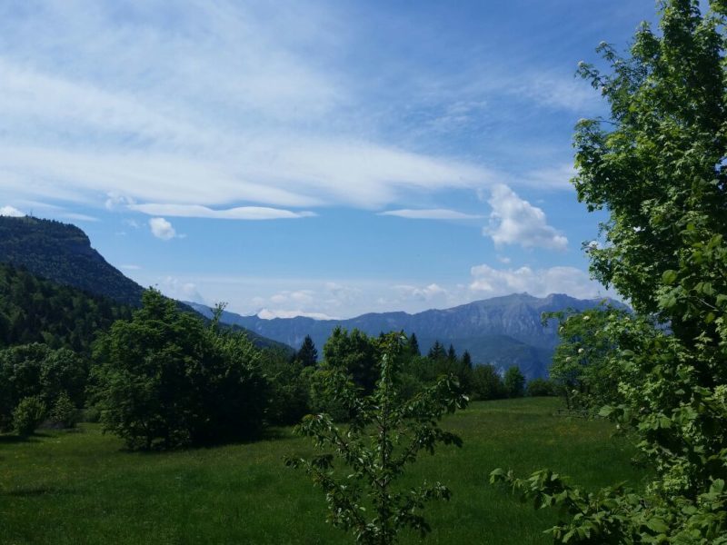
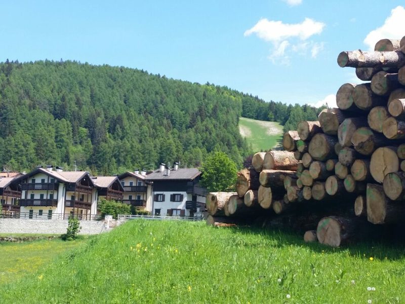
On this route, the signs of history combine with the beauty of the forest that covers the high ground, a mixed forest of resinous (pines, firs, larches) and broadleaf trees (beech, hornbeam). In times gone by, the vegetation was sparse and this allowed wide panoramic views of the Terragnolo valley and the Pasubio mountain massif, but this is no longer the case. The walk, which is also suitable for families with children over the age of 6, has an initial uphill section, offset by a pleasant descent on the south-west side.
- Directions
-
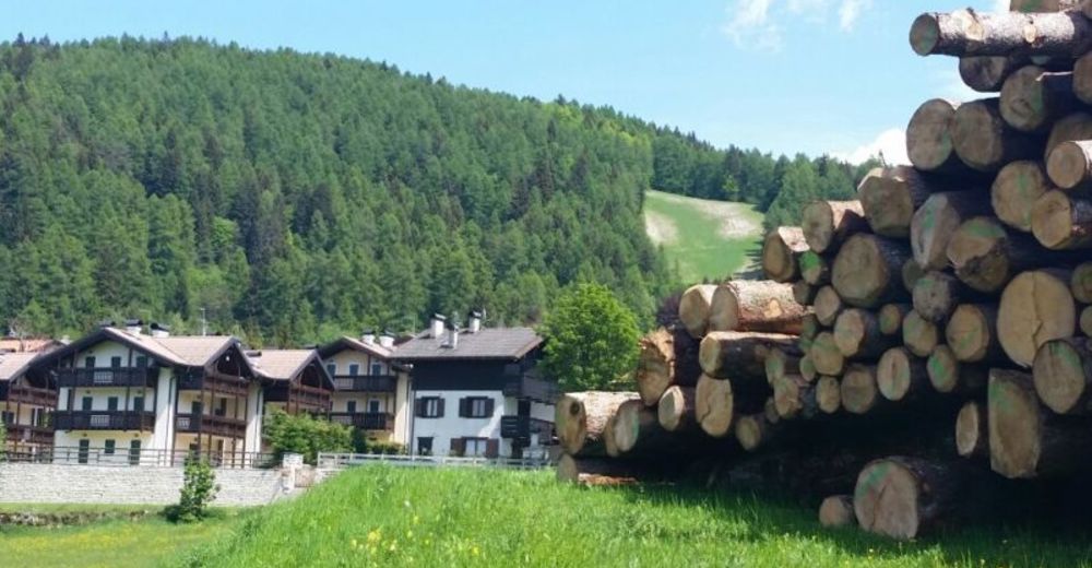
From the square in Serrada, we follow the directional signposts that take us on a medium ascent to the Slosseri maso, which we soon abandon in order to ascend the lower eastern slope of the Noch ridge. The path takes us gradually up the slope to the summit, where we find the remains of the ancient church of St. Christina. All around are trenches from the First World War (1914-1918). Having left the high ground, we descend the south-western slope by means of an easy cart track, then turn onto the dirt road that leads to Monte Finonchio. We turn right onto it and, following the signs, we return to Serrada, to the Slosseri farmstead, along a secondary path.
- Highest point
- 1,351 m
- Endpoint
-
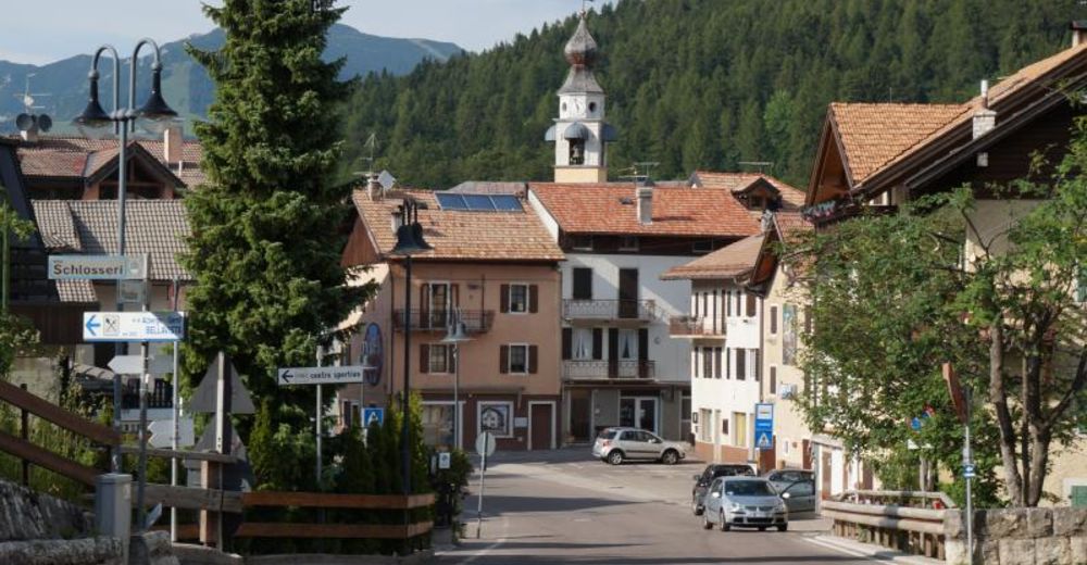
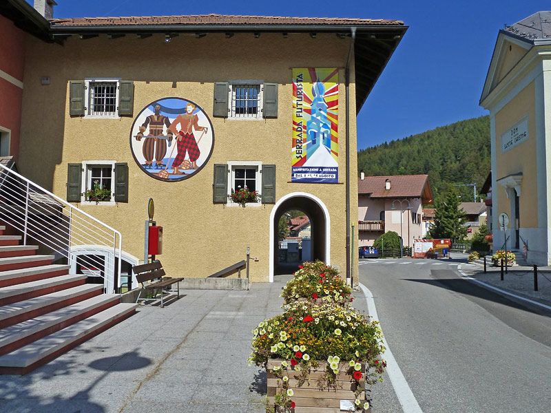
Piazza di Serrada
- Height profile
-
 © outdooractive.com
 - Safety instructions
-
Please note that the practicability of the itineraries in a mountain environment is strictly linked to the contingent conditions and is therefore influenced by natural phenomena, environmental changes and weather conditions. For this reason, the information contained in this page may have changed. Before leaving for a tour, make sure the path you will approach is still accessible by contacting the owner of the mountain hut, the alpine guides or the visitor centres of the nature parks, the info offices of the local tourist board.

- Author
-
The tour 14 - Naoch tour is used by outdooractive.com provided.