
- Brief description
-
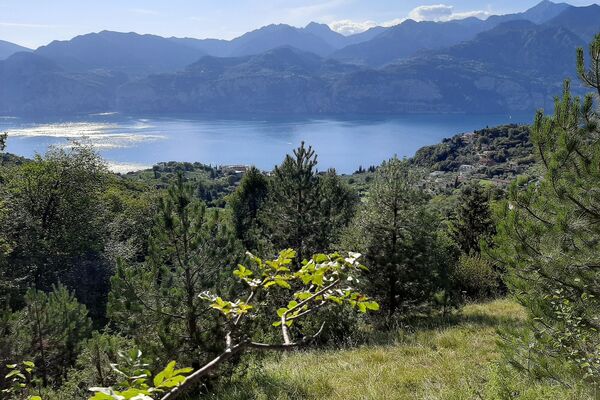
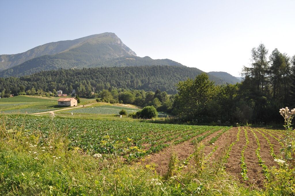
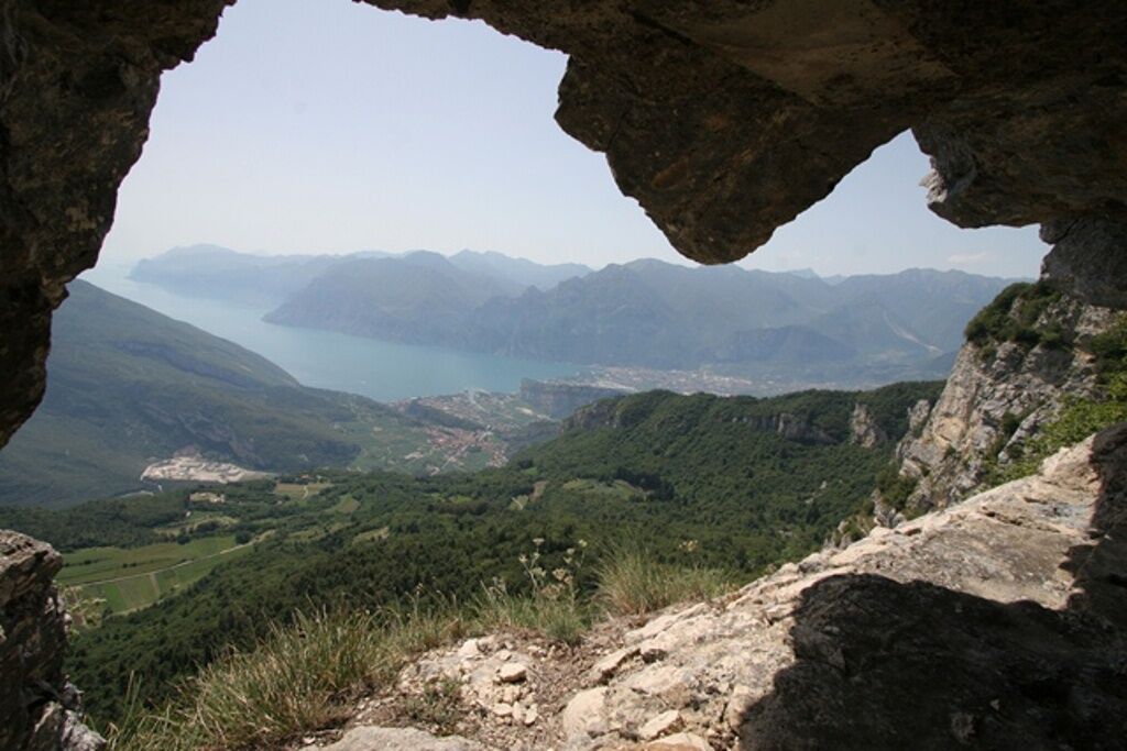
From the defence lines at the peak, a spectacular terrace overlooking Lago di Garda.
- Difficulty
-
easy
- Rating
-
- Starting point
-
località Santa Barbara
- Route
-
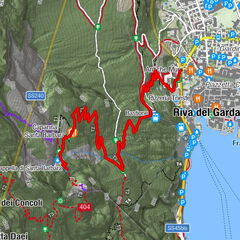
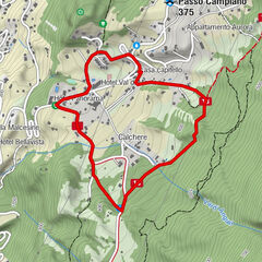
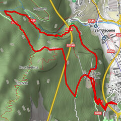
Santa BarbaraGarda-Vallagarina1.8 kmMonte Creino (1,290 m)1.9 kmSanta Barbara3.9 km
- Best season
-
JanFebMarAprMayJunJulAugSepOctNovDec
- Description
-
From Santa Barbara, above Val di Gresta, take the gravel road right in front of the fountain (billboard with hiking map), for a level route through vast cultivated fields. After circa 500mt. an intersection to the left will lead you into woods, while along the sides of the road you will encounter the numerous natural stagings of "environmental art" creations of the valley's elementary school students.
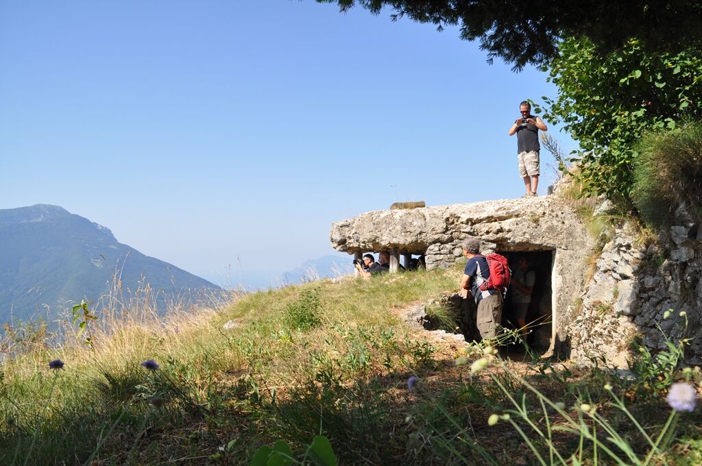
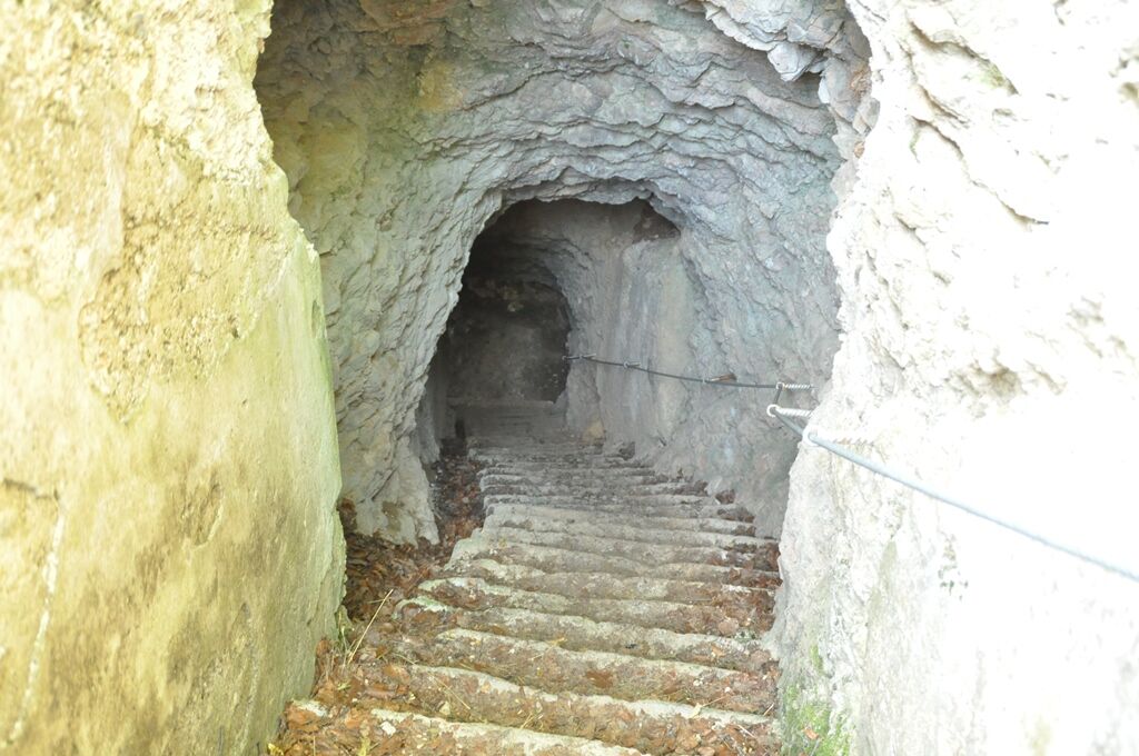
After a downhill strech you'll find the first remains of what s once an important stronghold and observatory of Austrian-Hungarian artillery.
Here following the defense line you arrive at the peak of Monte Creino, a spectacular terrace overlooking Lago di Garda. The return takes place along the long gravel road, slightly downhill, continuing on to the North toward Santa Barbara.
An easy hike, suitable for anyone.
- Directions
-
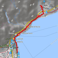
From Rovereto follow the signs for Lago di Garda (SS 240) to Loppio. From there , climb to the right for Val di Gresta. At the beginning of Ronzo- Chienis turn left toward Santa Barbara. Parking at the area of the same name.
- Highest point
- 1,285 m
- Endpoint
-
Monte Creino
- Height profile
-
 © outdooractive.com
 - Equipment
-
Normal mountain hiking clothing (hiking boots)
- Safety instructions
-
Route with no particular technical difficulties
Please note that the practicability of the itineraries in a mountain environment is strictly linked to the contingent conditions and is therefore influenced by natural phenomena, environmental changes and weather conditions. For this reason, the information contained in this page may have changed. Before leaving for a tour, make sure the path you will approach is still accessible by contacting the owner of the mountain hut, the alpine guides or the visitor centres of the nature parks, the info offices of the local tourist board.
- Directions
-
From Rovereto follow the signs for Lago di Garda (SS 240) to Loppio. From there, climb to the right for Val di Gresta. At the beginning of Ronzo Chienis turn left toward Santa Barbara. Parking at the area of the same name.
- Public transportation
-
For information on public transport: www.trentinotrasporti.it
- Parking
-
It is possible to park in Santa Barbara.

-

-
AuthorThe tour Monte Creino is used by outdooractive.com provided.


General info
-
Gardasee / Lombardei
437
-
Garda Trentino
666
-
Val di Gresta
259