From Pian del Keserle to Rifugio Lancia passing from Malga Zocchi


- Brief description
-
Trenches, galleries, views of Vallarsa and the Piccole Dolomiti
- Difficulty
-
medium
- Rating
-
- Starting point
-
Parking in Pian del Keserle (1434 m)
- Route
-
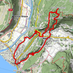
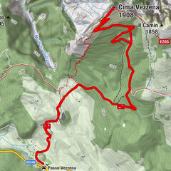
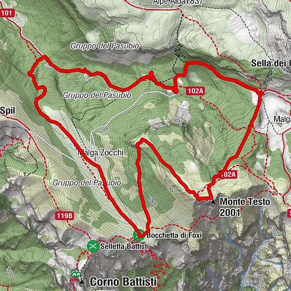
Malga Zocchi1.2 kmMonte Testo (2,001 m)4.2 kmPozza Rionda (1,653 m)6.5 kmSette Albi7.0 km
- Best season
-
JanFebMarAprMayJunJulAugSepOctNovDec
- Description
-
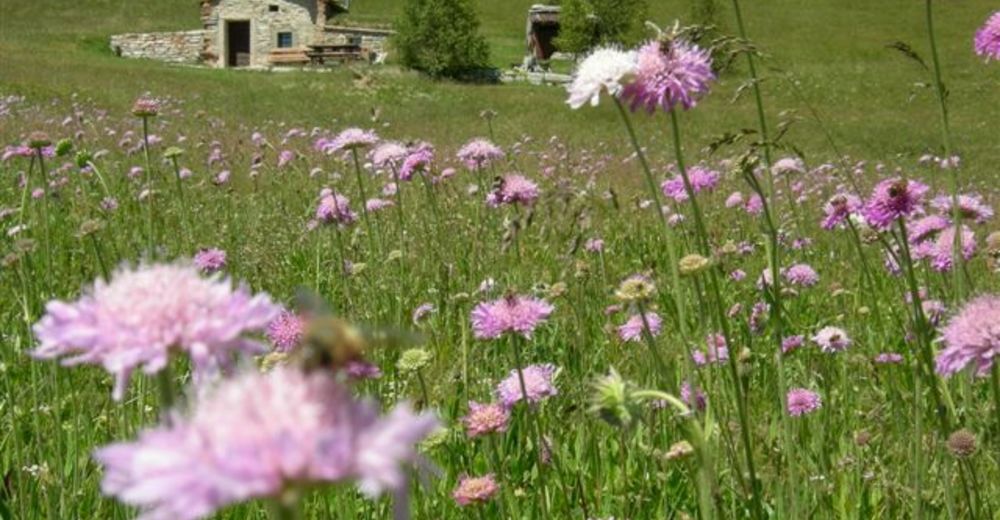
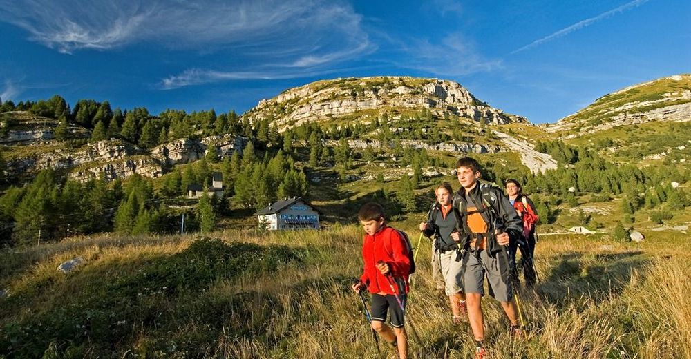
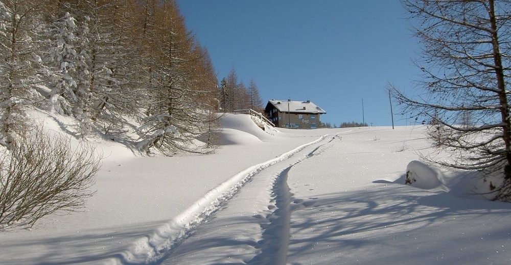
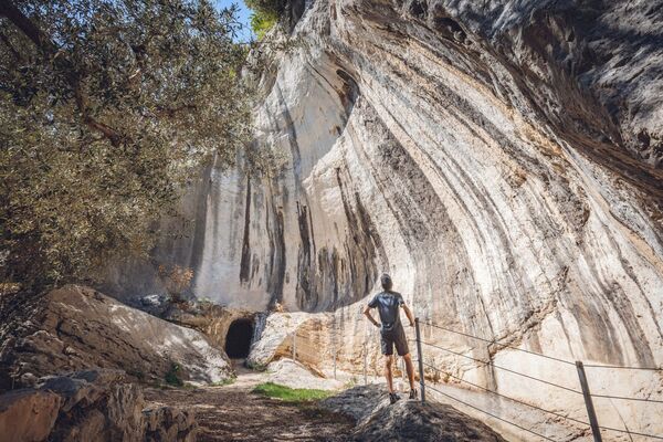
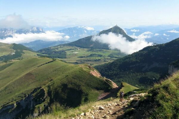
The trekking passes through a suggestive beech-wood and a meadow where you find Malga Zocchi. From the top of Mount Testo, the mountain that is behind Malga Zocchi, when the weather is fine you can see Mount Pasubio, the Italian and Austro-Hungarian Dente, Cima Palon, the Piccole Dolomiti, Cima Levante, Mount Zugna and also far away Mount Altissimo and the chain of Mount Telegrafo which is between the Garda Lake and the Adige Valley. Just below the top of Mount Testo, the Austro-Hungarians army built a series of galleries and refuges which have been restored by SAT of Rovereto and are very interesting to be visited.
- Directions
-
You reach Pian del Keserle (1433 m) after having passed Giazzera, the last part of the village of Trambileno. Next to the parking located north along the Orco Valley, there is the departure of path number 122 to Malga Zocchi (rest point 1655 m). After Malga Zocchi, you arrive near Bocchetta dei Foxi, the starting point of different itineraries.
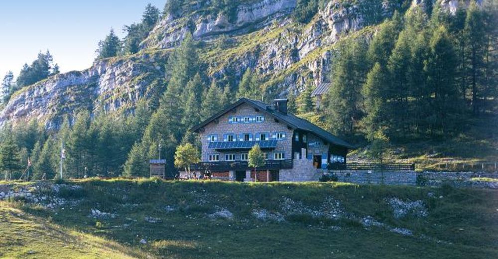
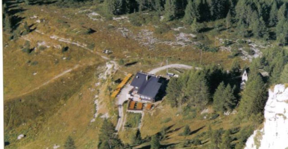
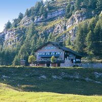
The one you have to follow is number 102A towards Mount Testo (1999m) which is behind the Malga. The austro-hungarian galleries and refuges are easy to be seen just a few metres from the top, direction Rifugio Lancia. It is necessary to have front lights. From the top of Mount Testo you can go down following the trench which arrives, after 200 metres, to path number 102A or directly on the path. In a few minutes you reach Rifugio Vincenzo Lancia (1802 m). You will be back to the parking in one hour using an easy road.
- Highest point
- 1,962 m
- Endpoint
-
Rifugio Vincenzo Lancia
- Height profile
-
© outdooractive.com
- Safety instructions
-
Please note that the practicability of the itineraries in a mountain environment is strictly linked to the contingent conditions and is therefore influenced by natural phenomena, environmental changes and weather conditions. For this reason, the information contained in this page may have changed. Before leaving for a tour, make sure the path you will approach is still accessible by contacting the owner of the mountain hut, the alpine guides or the visitor centres of the nature parks, the info offices of the local tourist board.
- Tips
-
Near Bocchetta Foxi, you could meet chamois if you respect the natural silence of that place.
- Directions
-
From Rovereto (Podestà Square) driving in SP50. After San Colombano bridge, turn left direction Rifugio Lancia. Park in Pian del Keserle.
- Parking
-
Pian del Keserle, in Giazzera
-

-
AuthorThe tour From Pian del Keserle to Rifugio Lancia passing from Malga Zocchi is used by outdooractive.com provided.
