
- Brief description
-
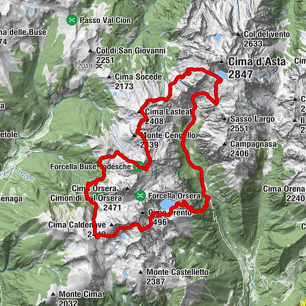
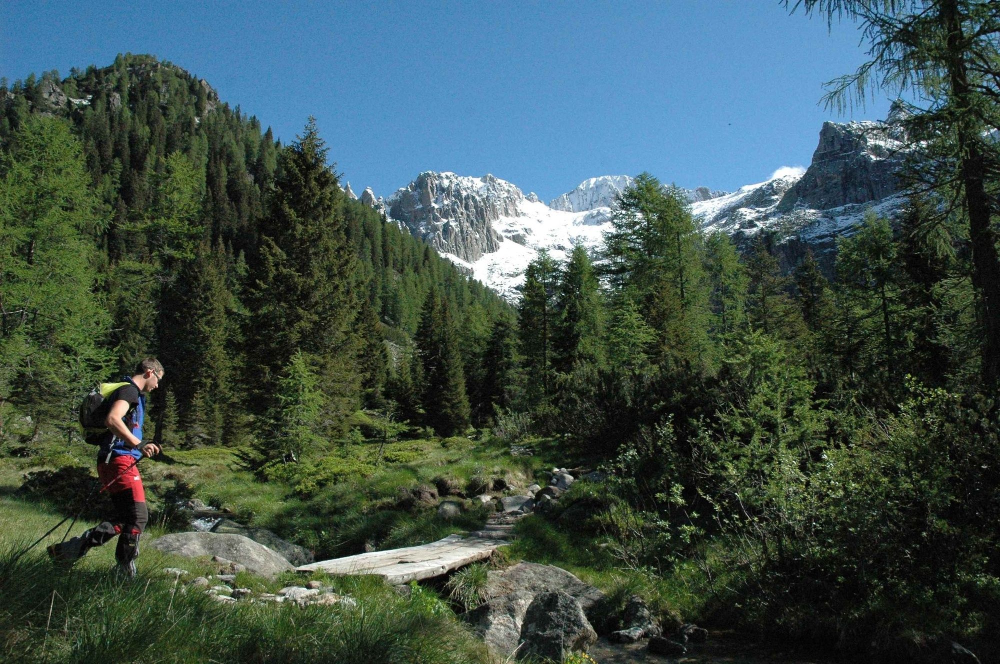
The Alta Via del Granito is a splendid circular route taking place in Cima d’Asta, the Cime di Rava and the mountains of Lagorai chain.
- Difficulty
-
difficult
- Rating
-
- Route
-
Rifugio Malga Sorgazza0.1 kmVal Di Ravetta8.4 kmBivacco Caldenave9.5 kmCima Lasteati (2,408 m)16.7 kmTeleferica Brusà (1,647 m)26.0 km
- Best season
-
JanFebMarAprMayJunJulAugSepOctNovDec
- Description
-
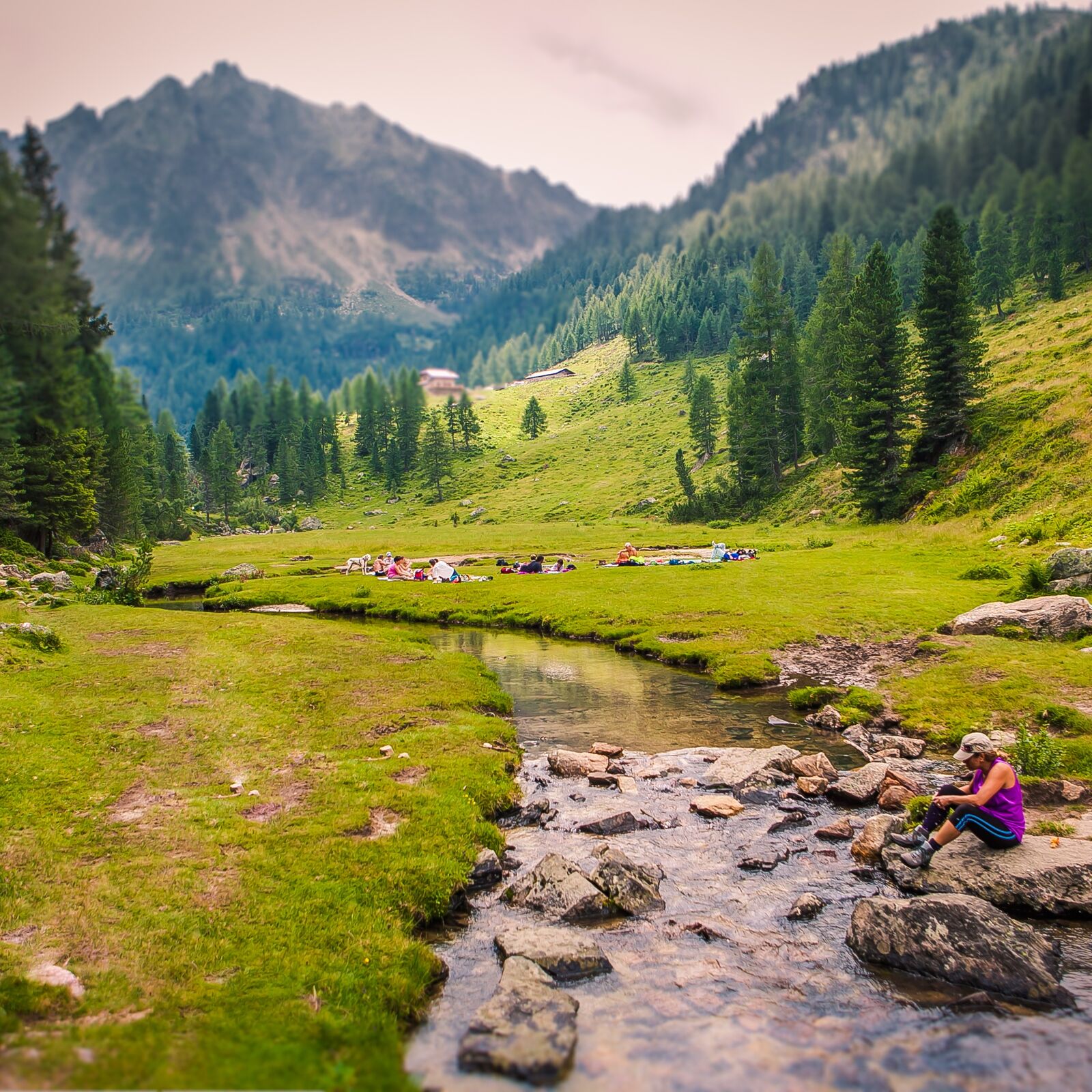
The Alta Via uses a network of old paths and military mule tracks (dating from WW1). Easily completed in 3 days, the Alta Via del Granito combines (overnight) stops at 2 refegues, with hikes along marked path that take you through stunning wild scenery where you come into close contact with nature. This is seen not only by the presence of high mountain shepherds huts and the surrounding summer pastures, but also the remains of military activity from the First World War.
- Directions
-
First Day
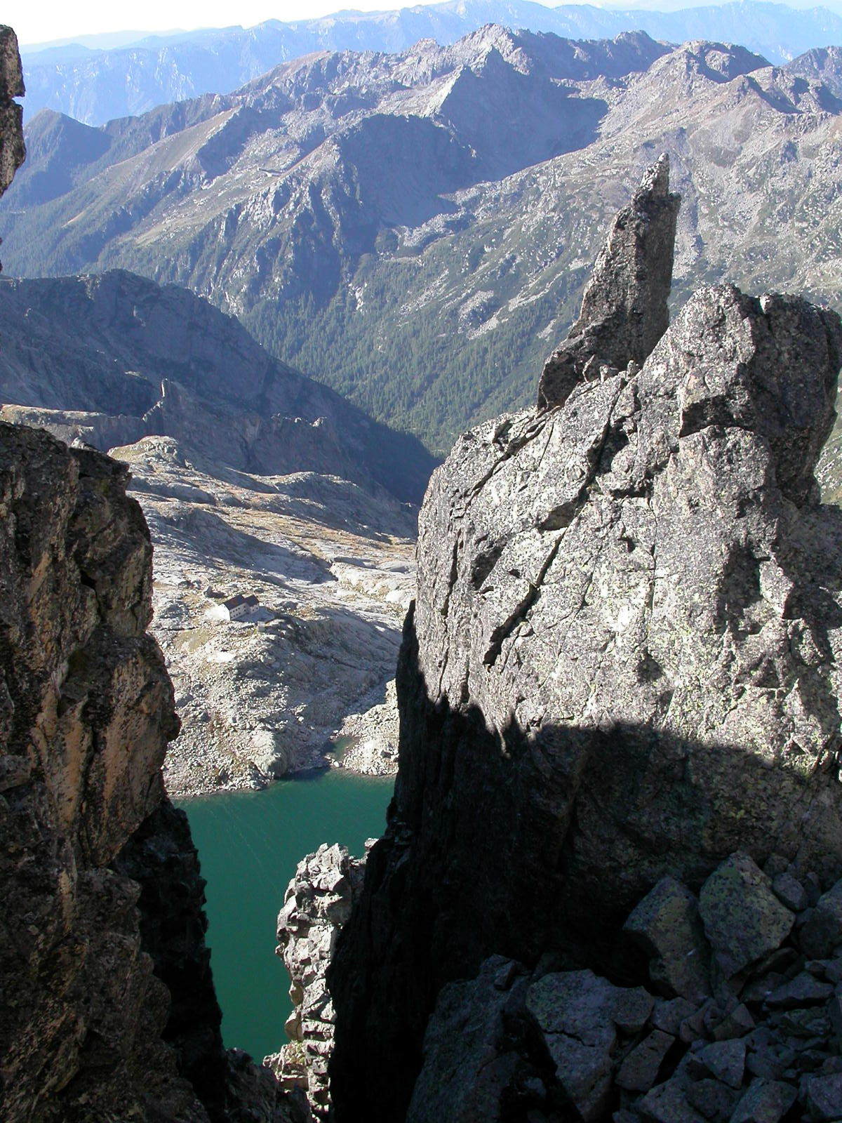
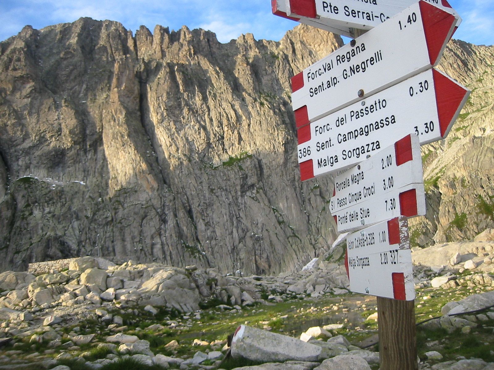
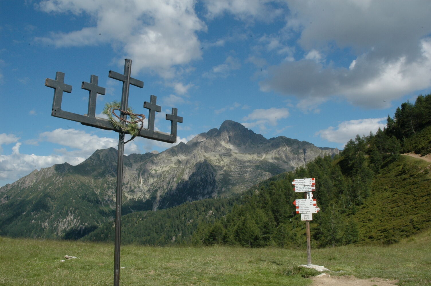
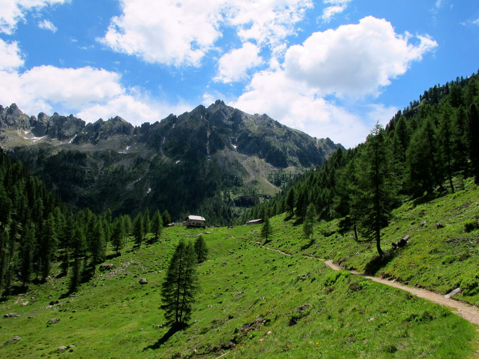
From Malga Sorgazza which is currently a restaurant, you take path no. 328, after the lake Costa Brunella the route leads to the mountain pass Quarazza. Walk around the south-east top of Cima Trento till the Forzelon di Rava. From Forzelon, there is a short and nice walk up to Cimon Rava (2.436 m) with a beautiful view on the mountain tops Cresta del Frate. From the mountain top you walk along path no. 332bis. It is an easy and panoramic walk along the highest points of the valley Val di Rava, reaching Forcella Ravetta. The path descends steeply along the northern side of the majestic Cima Caldenave, crossing a small forest and reaching the wide peat bog, a few minutes from the Caldenave refuge.
Second Day
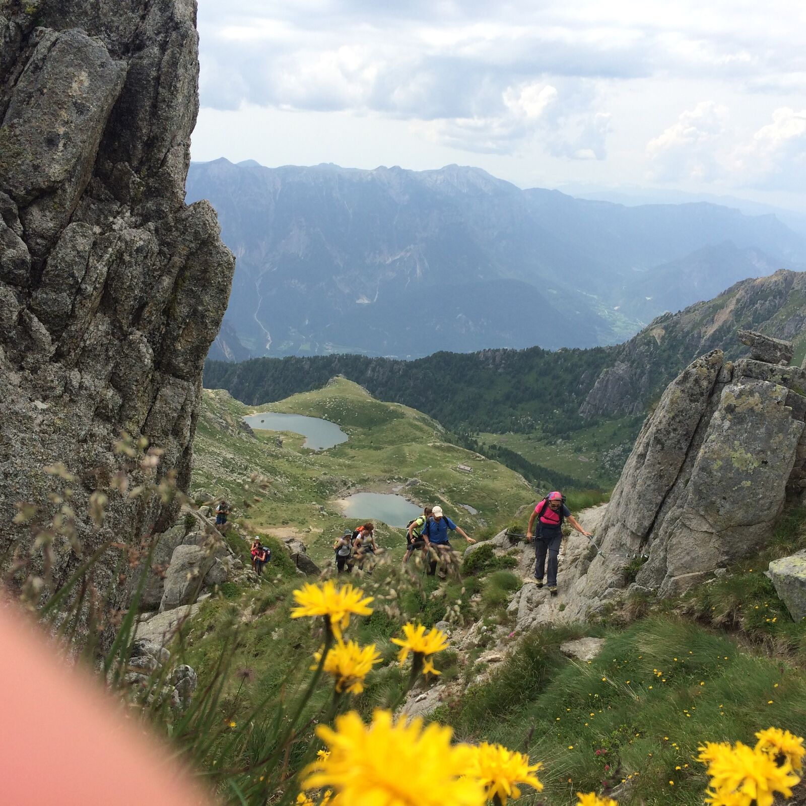
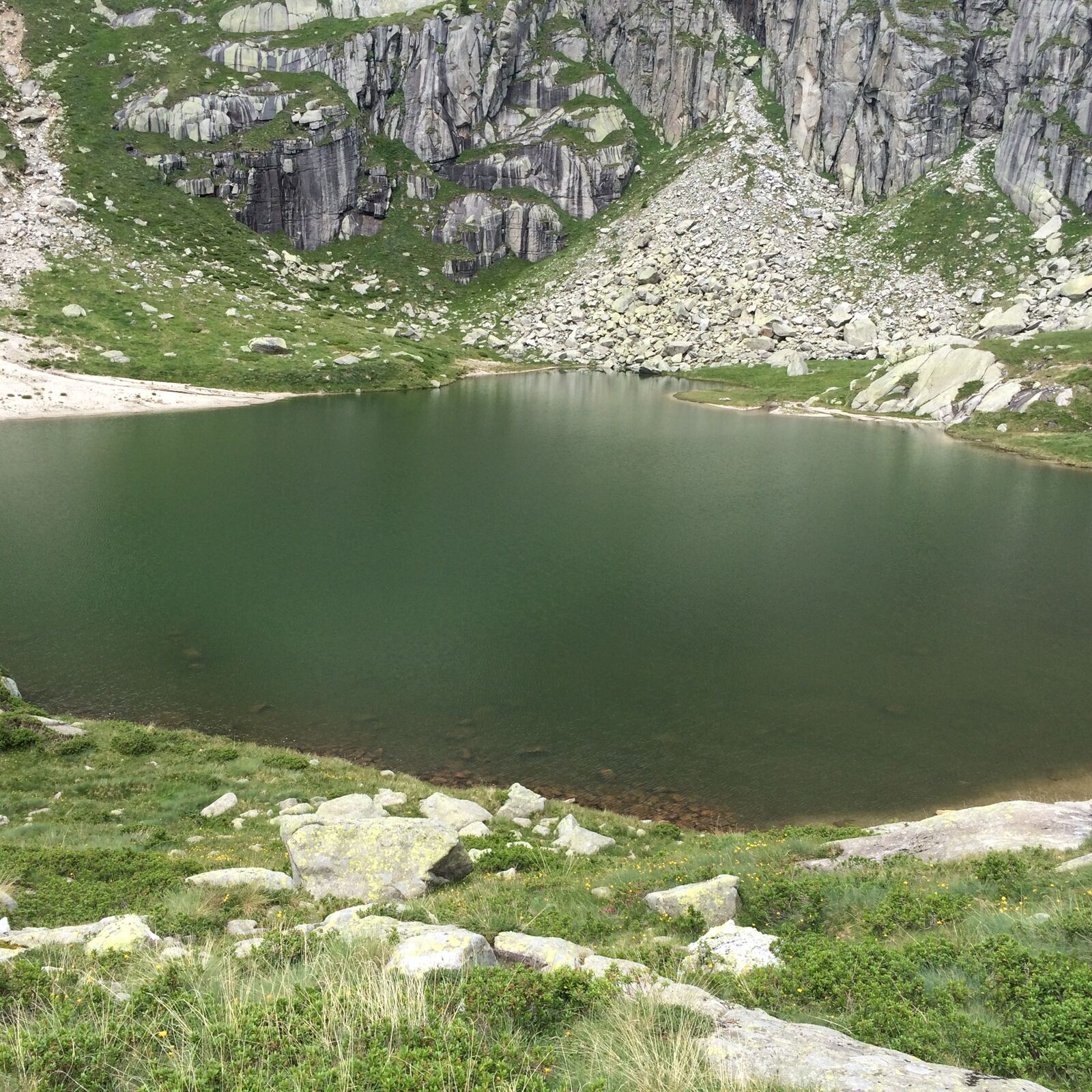
From the Caldenave refuge you descent toward the plain, cross the river and begin to walk along path no. 360, which goes up to Forcella delle Buse Todesche, along the peculiar lakes of the valley Val dell’Inferno (literally Valley of the Hell). From here you walk the high path, towards north, along path no. 373, which sides the eastern sides of Cengello and of Cima Lasteati. In this way
you can reach Forcella Magna, an important mountain pass which connects Val Sorgazza with the northern part of Val Cia. During the First World War this mountain pass was reachable with a small road – there are many remains of it - used by the Italian soldiers to transport large antiaircraft artillery pieces. From the mountain pass you walk down long path no. 380 till when you reach a deviation on the right hand side, towards Passo Socede (path no. 380bis), at 2516 m. which you can read on some remains of a former war trench. From here, in 15 minutes, you can reach the Brentari refuge, walking on large granite stones.
Third day
From the Brentari refuge you walk down on the peculiar granite plates till the basis of the cableway. Finally, you reach Malga Sorgazza, walking along a mountain road, thus completing the ring-shaped route. From the refuge you can walk up to Cima d’Asta (2.847 m, with a height difference of 370 m, to be walked in 1 hour and 1/4).
- Highest point
- 2,507 m
- Endpoint
-
Malga Sorgazza
- Height profile
-
 © outdooractive.com
 - Equipment
-
Equipment:Sportswear for mountain excursions (hiking boots, raincoat)
- Safety instructions
-
Being a multi-day trek, a minimum of training is required . Always check the weather forecast and listen to the valuable advice of refuge managers.
Please note that the practicability of the itineraries in a mountain environment is strictly linked to the contingent conditions and is therefore influenced by natural phenomena, environmental changes and weather conditions. For this reason, the information contained in this page may have changed. Before leaving for a tour, make sure the path you will approach is still accessible by contacting the owner of the mountain hut, the alpine guides or the visitor centres of the nature parks, the info offices of the local tourist board.
- Tips
-
A minimum of training is required. Do not walk with to much eavy backpack.
- Additional information
-
It is possible to do this trek in a clockwise or counterclockwise. Before starting your trek, check the availability of refuge.
- Directions
-
Go along the main road SS47 Valsugana, take the exit signposted “Altopiano del Tesino”.
After the village Pieve Tesino follow the sign to Val Malene and then Malga Sorgazza.
- Parking
-
Parking place nearby of Malga Sorgazza


-
-
AuthorThe tour Alpine tour - Alta Via del Granito is used by outdooractive.com provided.