- Brief description
-
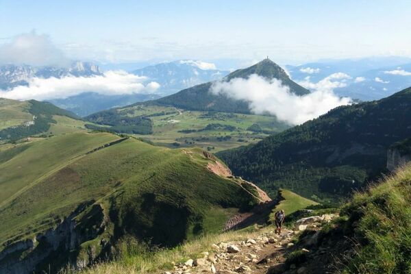
Wonderful, easy walk into the heart of Brenta Dolomites.
- Difficulty
-
easy
- Rating
-
- Starting point
-
Pradel
- Route
-
Rifugio PradelAlbergo Ristorante Del Brenta0.0 kmMalga Tovre0.5 kmRifugio La Montanara0.9 km
- Best season
-
JanFebMarAprMayJunJulAugSepOctNovDec
- Description
-
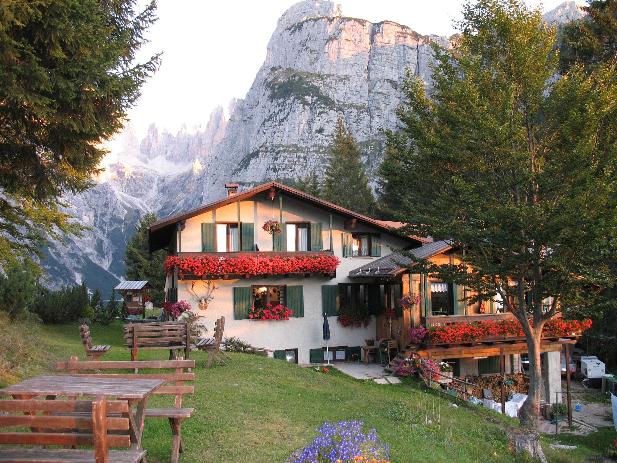
Wonderful, easy walk into the heart of Brenta Dolomites; very beautiful view on the mountains from the terrace of Hut La Montanara.
- Directions
-
From Molveno we go up to Pradel using the cableway; at the arrival of the lift we go left for some meters and then we go along the ski slope close to the chairlift; the way is quite steep but not complicated and we reach Malga Tovre in about 25 minutes. From here we continue on the fire road going to rifugio La Montanara.
Back along the same track.
- Highest point
- 1,506 m
- Endpoint
-
Pradel
- Height profile
-
 © outdooractive.com
 - Equipment
-
Trekking shoes, rucksack with water, snacks and rain jacket.
- Safety instructions
-
1) Prepare your itinerary
2) Choose an excursion appropiate for your real ability and training level
3) Choose the fitting equimpent
4) Check the weather forecast
5) Hiking alone is risky
6) Give details about your itinerary and about the approximate hour of your return
7) Do not hesitate to entrust you to an expert
8) Pay attention to the indication and signals you will find along your journey
9) Do not hesitate to retrace your steps
10) Ask for help and call the number 112
Please note that the practicability of the itineraries in a mountain environment is strictly linked to the contingent conditions and is therefore influenced by natural phenomena, environmental changes and weather conditions. For this reason, the information contained in this page may have changed. Before leaving for a tour, make sure the path you will approach is still accessible by contacting the owner of the mountain hut, the alpine guides or the visitor centres of the nature parks, the info offices of the local tourist board.
- Tips
-
Forest Park, adventuire park
Malga Tovre, didactical farm - Additional information
- Directions
-
From North:
On the highway A22 take the exit "San Michele" we follow the state road SS43 until the exit from the village of Mezzolomardo, then we follow the provincial road SP64 towards "Paganella" Altopiano. (Fai-Andalo-Molveno).
From South:
On the highway A22 take the "Trento Nord", and follow the road towards Val di Non to the village of Mezzolombardo, exceeded the gallery turn to the right towards "Paganella" (Fai-Andalo Molveno).
- Public transportation
-
Trentino Trasporti - line 611: from Trento to Mezzocorona/Mezzolombardo by train, from Mezzocorona/Mezzolombardo by bus.
Stop at the departure of the cableway.
- Parking
-
Molveno, lift departure.


- Author
-
The tour Pradel – Rifugio La Montanara is used by outdooractive.com provided.