
- Brief description
-
A trail which connects the Marmitte dei Giganti, spectacular geological pothole formations, with the Castagneto di Nago chestnut woods and the trenches of Busa dei Capitani.
- Difficulty
-
medium
- Rating
-
- Starting point
-
Torbole sul Garda
- Route
-
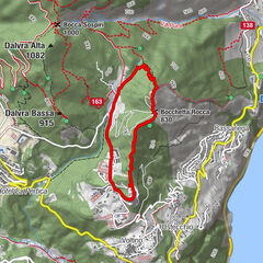
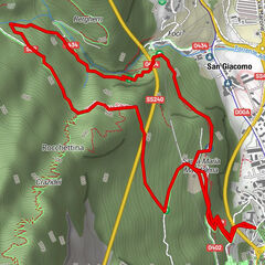
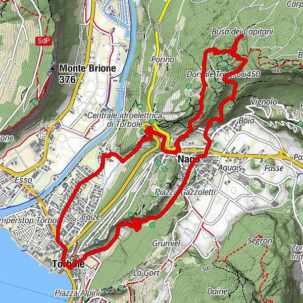
TorboleMarmitta dei Giganti Granda1.4 kmMarmitta dei Giganti Piccola1.4 kmMarmitta dei Giganti1.6 kmPrealta1.8 kmVal del Molin2.0 kmCastagneto di Nago2.9 kmBusa dei Capitani3.7 kmDorsale Tre Croci (450 m)4.3 kmNago5.5 kmChiesa di San Vigilio5.6 kmPrimon5.7 kmChiesa della Santissima Trinità5.7 kmChiesa di Sant'Andrea7.3 kmTorbole7.4 kmPrà de la Fera7.5 km
- Best season
-
JanFebMarAprMayJunJulAugSepOctNovDec
- Description
-
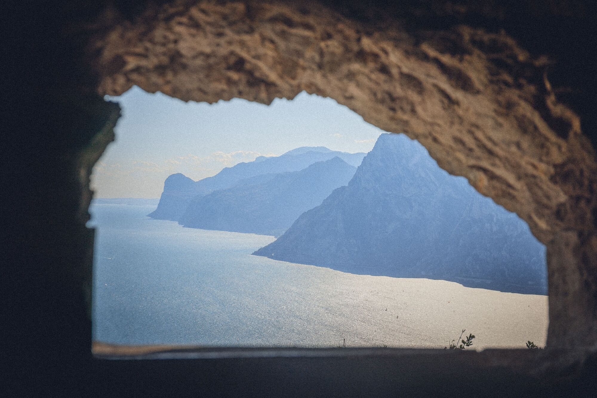
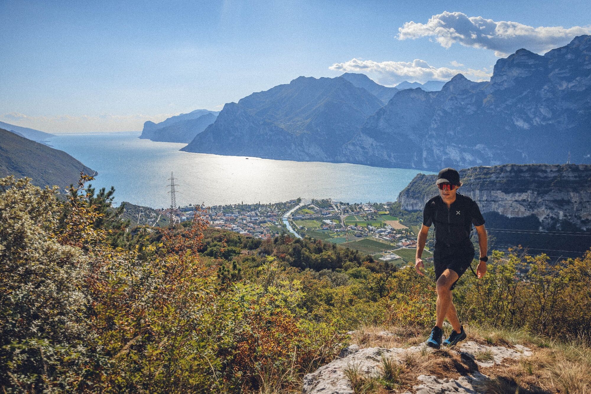
This trail focuses on some of the typical features of the Garda area, and all with a view of the lake.
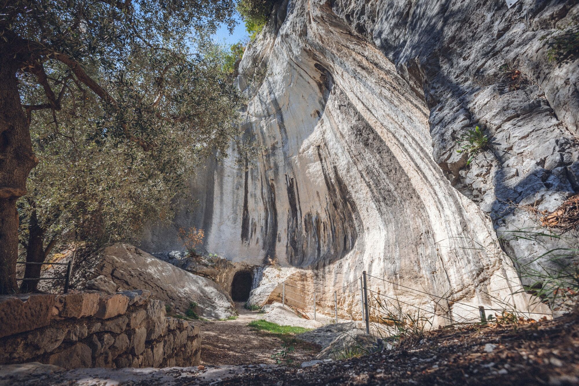
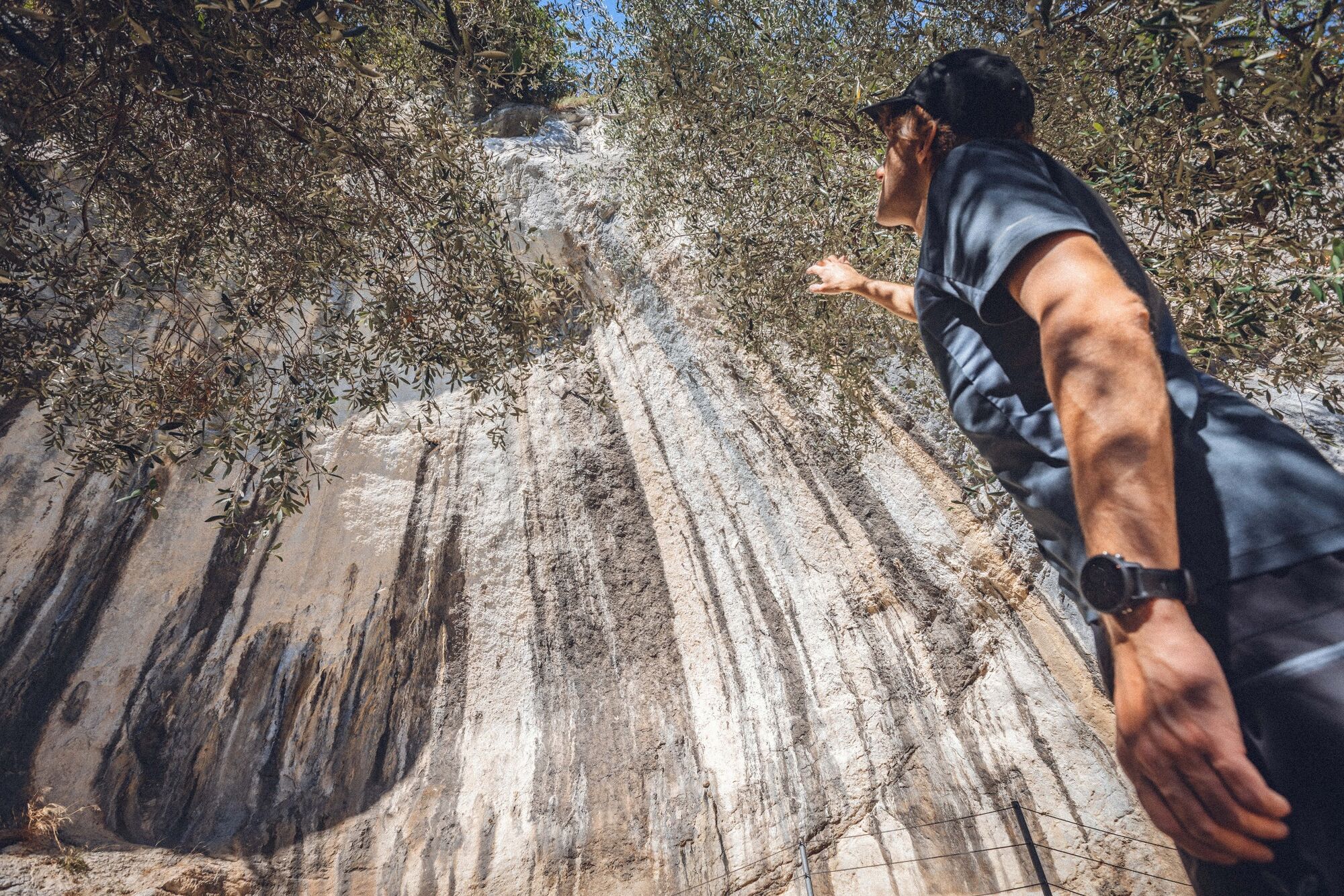
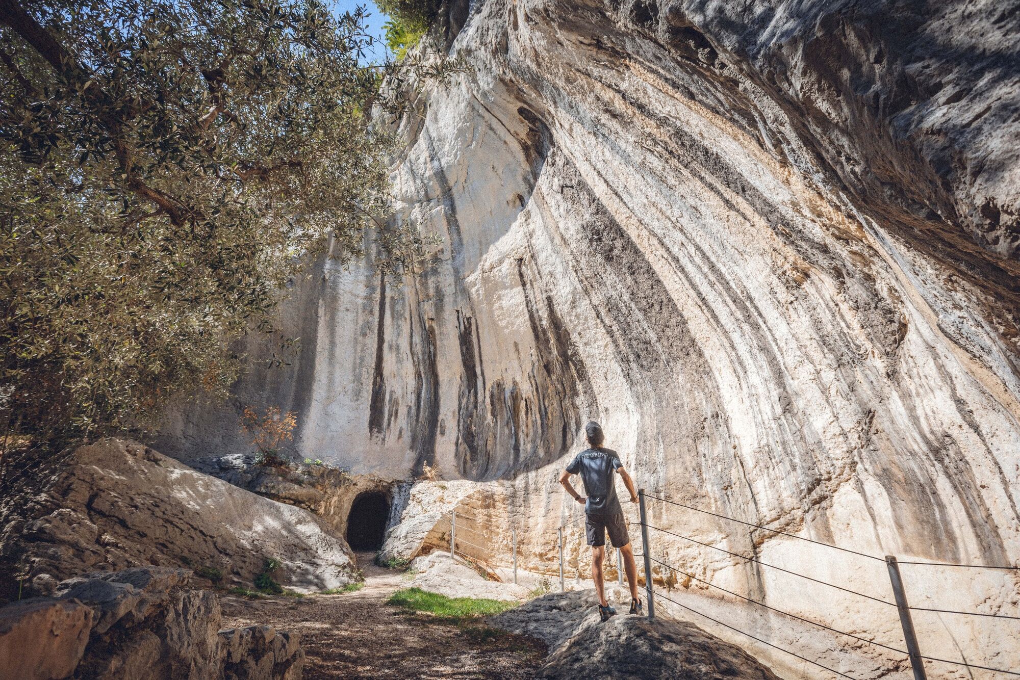
The Marmitte dei Giganti are glacial potholes (known as the Giants' Potholes) formed millions of years ago by the erosion of the rock. These great cavities have a diameter of 4 or 5 metres and are as deep as 12 metres. The potholes were formed by the melting of the glaciers which modelled the rock and polished its surface. The potholes often occur together with other natural karst phenomena such as striated rock, sheepbacks and glacial shift.
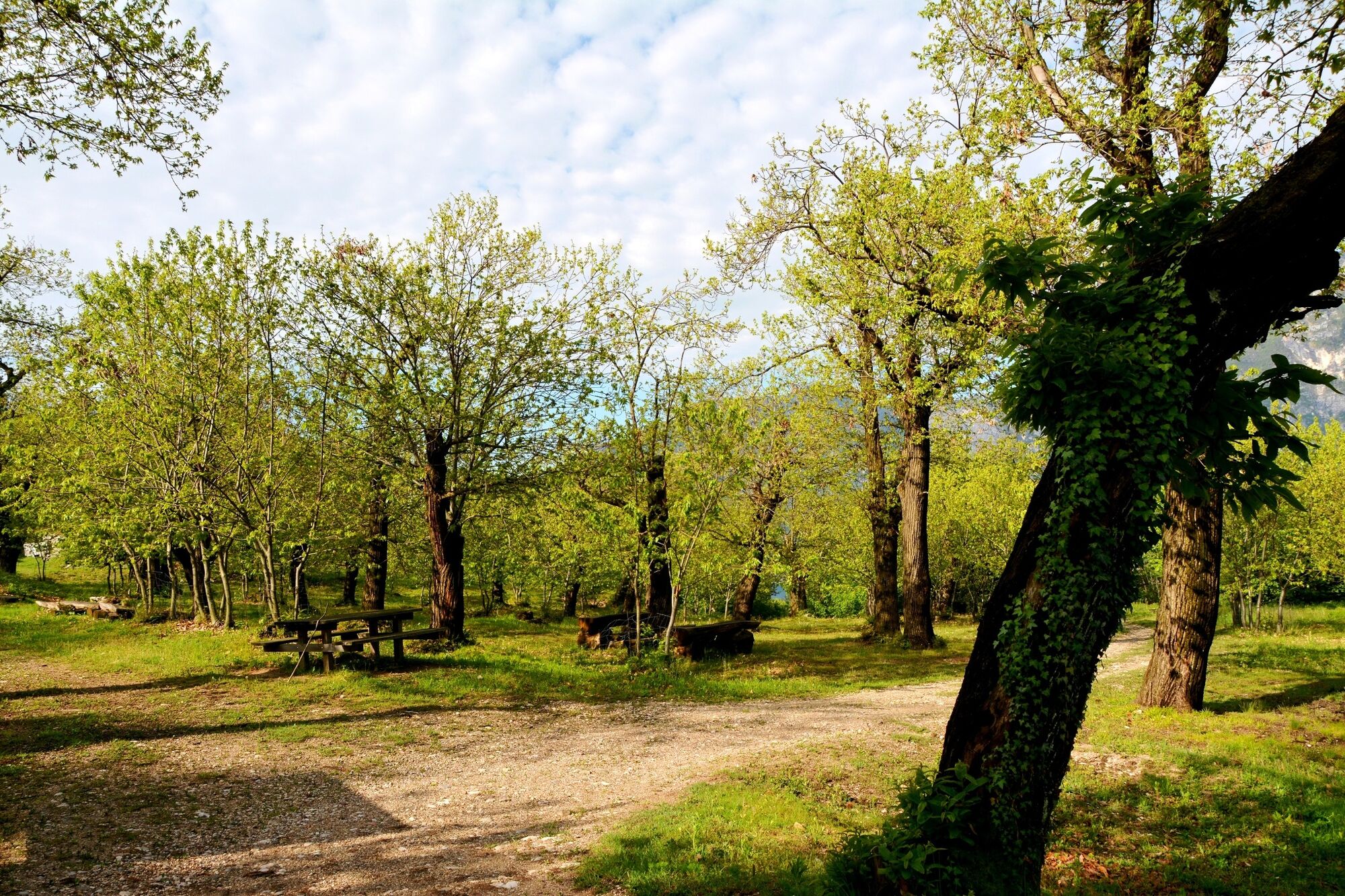
The sweet chestnut tree was widely grown in Trentino as elsewhere because of the major economic importance it had for mountain people who depended on it as a subsistence food. The fruit of this tree is highly nutritious and formed an important part of the local diet.
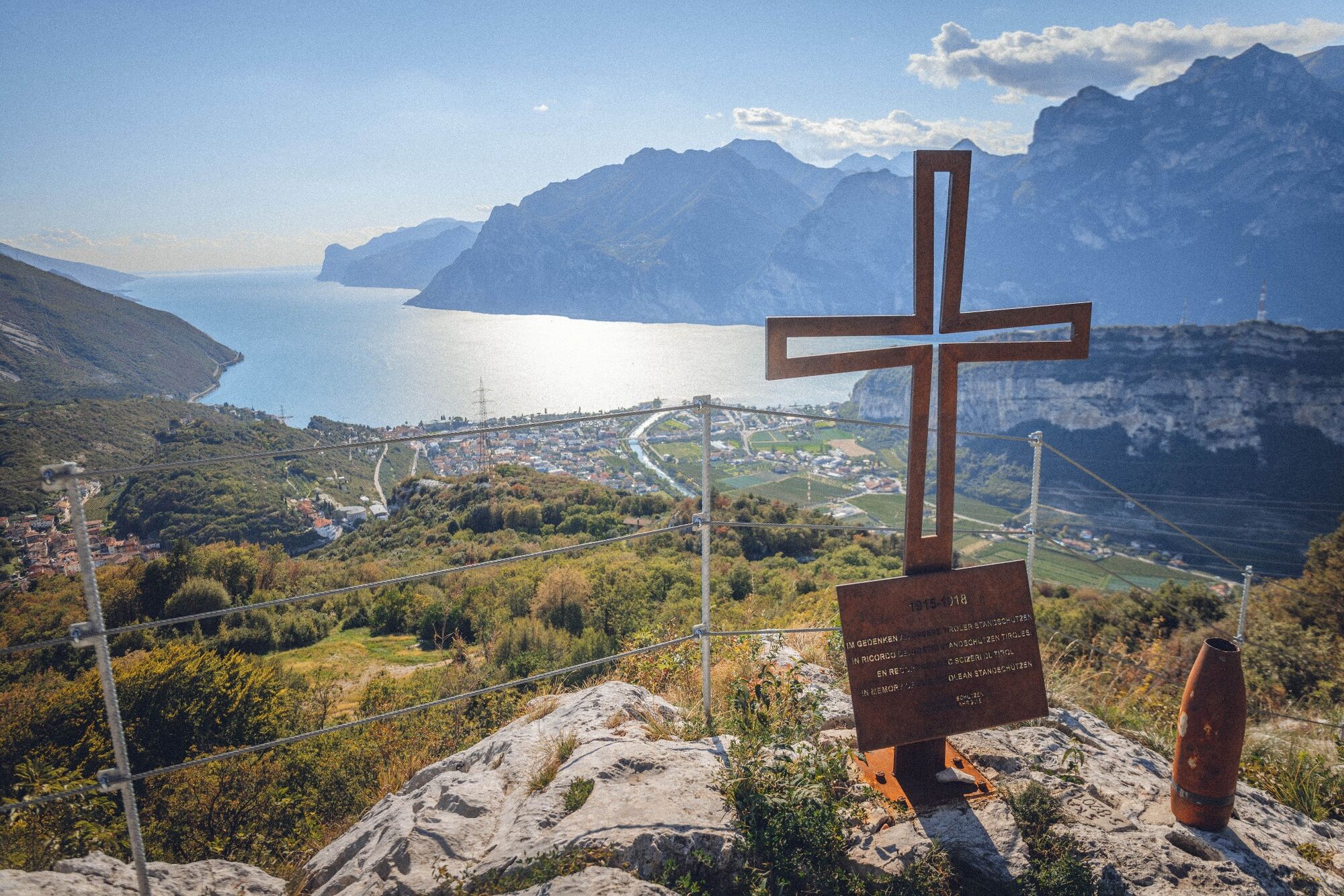
The Monte Corno area where the Castagneto chestnut wood is situated was on the Front held by the imperial Austro-Hungarian army during the First World War: there are still stretches of trenches and various buildings restored by local associations.
- Directions
-
Head north from the centre of Torbole along via Strada Granda where the path begins which leads up the valley at the foot of a high limestone wall to the glacial potholes. Cross the main road and continue uphill along the dirt track which goes to Nago. When you come out at the roundabout, take the trail on the left for Castagneto (uphill towards the residence Nido d'Aquila) which climbs up the slopes of Monte Perlone. Watch out because the stretch leading up the chestnut wood is short but quite steep!
On your right, on the Nago side, you will come across other interesting glacial potholes. You continue through the chestnut woods up to Busa dei Capitani and its trenches. You start descending along the path, that then connets to the signed path 637 leading back to Nago.
In Nago take Via Santa Lucia and descend to Torbole.
- Highest point
- 522 m
- Endpoint
-
Torbole sul Garda
- Height profile
-
 © outdooractive.com
 - Equipment
-
You need to wear the right clothing and take the proper gear when you go hiking in the mountains. Even on relatively short easy outings make sure to take all you need so you don't run into trouble if things take an unexpected turn, for example a storm blows up or you have a sudden drop in energy levels.
What should you take when you go on a hike?
Your rucksack (for a day trip a 25/30L capacity should do) should contain:
water canteen (1L) snacks (e.g. mixed dried fruit or chocolate) First aid kit windproof jacket fleece change of t-shirt and socks (in a plastic bag) make sure to wear or at least bring a pair of long trousers hat sun screen sunglasses gloves whistle to attract attention in an emergencyMake sure you're wearing the right footwear for the trail and season. The going can get rough and rocky underfoot and a pair of hiking boots will protect you from sprains. When wet, a grassy slope, rocky slab or steep trail can be dangerous unless you are wearing the proper footwear.
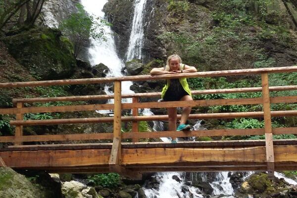
And finally... don't forget to bring your camera! You'll need it to capture the stunning views you come across all over Garda Trentino. And if you like, you can share your memories with us at #GardaTrentino.
Emergency telephone number 112.
- Safety instructions
-
Safety Tips
Choose itineraries that suit your physical and technical abilities. Collect information about the area you are visiting and the trail’s conditions and get a detailed trekking map. Wear clothes and take equipment that suit the difficulty and length of your tour. Keep emergency gear in your rucksack, including first aid supplies. Do not go walking alone in the mountains. In any case, tell someone where you are going and report back on returning. Look at the weather forecast before setting off and always keep an eye on the weather. In case of doubt, go back. It is better to give up than risk bad weather or face difficulties beyond your strength, ability and equipment. Do not leave marked paths and do not take shortcuts. All described walks are in a natural environment and therefore their use is at your own risk.This information is subject to inevitable variations, so none of these indications are absolute. It is not entirely possible to avoid giving inexact or imprecise information, given how quickly environmental and weather conditions can change. For this reason, we decline any responsibility for changes which the user may encounter. In any case, it is advisable to check environment and weather conditions before setting out.
- Tips
-
Don't forget to take your camera: the view on lake Garda is really unforgettable!
- Additional information
- Directions
- Public transportation
-
The main towns in Garda Trentino - Riva del Garda, Arco, Torbole sul Garda, Nago – are connected by several urban and intercity bus lines which will take you to the starting point of tours or in the immediate surroundings.
You can also get to Riva del Garda and Torbole sul Garda by the public ferry service.
- Parking
-
Parking in the locality Busatte.
Paid parking: Panorama, Via Strada Granda, Lungolago Conca d'Oro.
-

-
AuthorThe tour 18. From the Marmitte to Perlone between nature and geology is used by outdooractive.com provided.