
- Brief description
-
Walks
- Difficulty
-
medium
- Rating
-
- Starting point
-
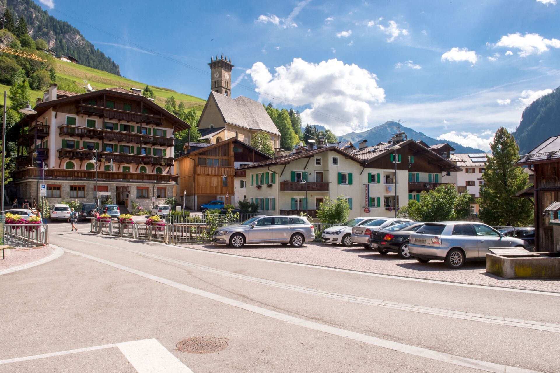
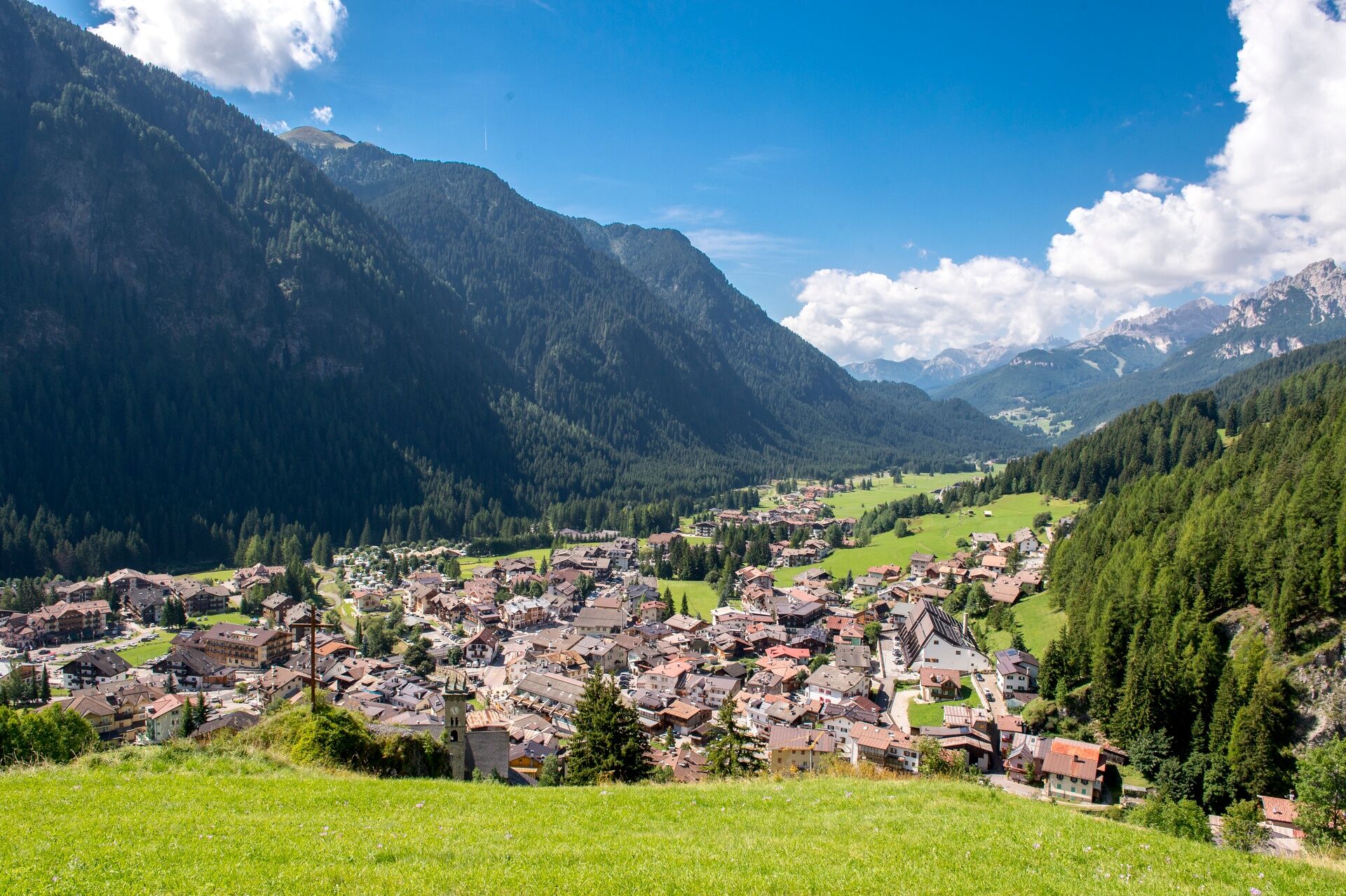
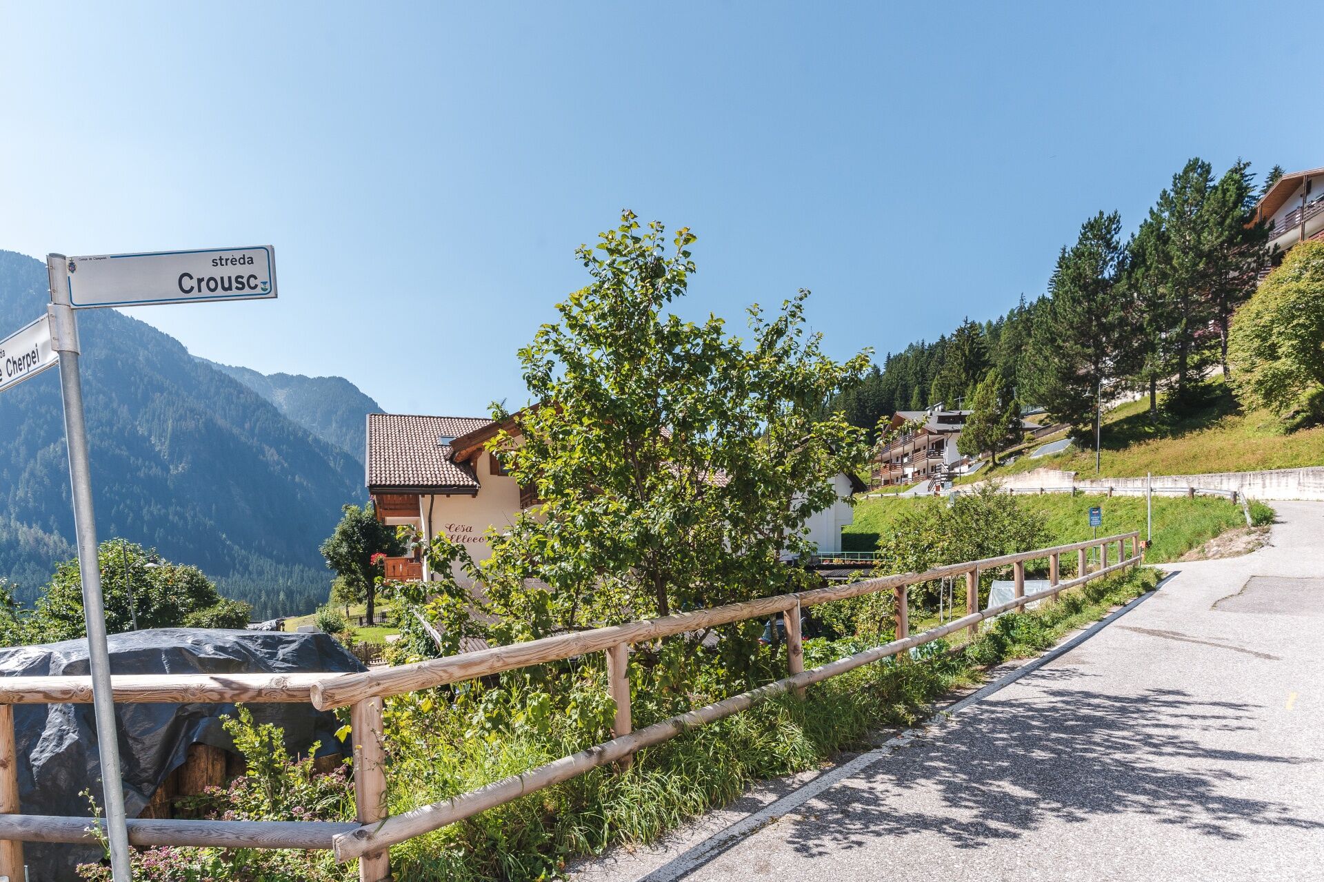
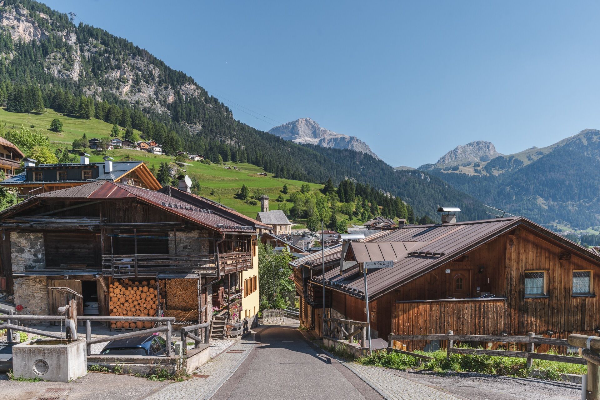
Campitello di Fassa (Strèda Dolomites)
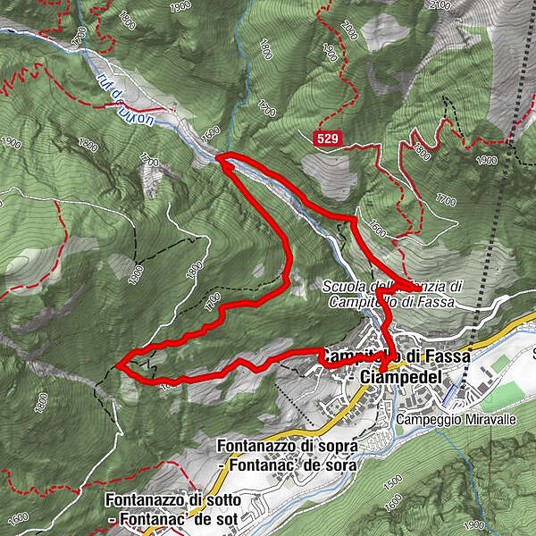
- Route
-
Campitello di FassaPian0.7 km
- Best season
-
JanFebMarAprMayJunJulAugSepOctNovDec
- Description
-
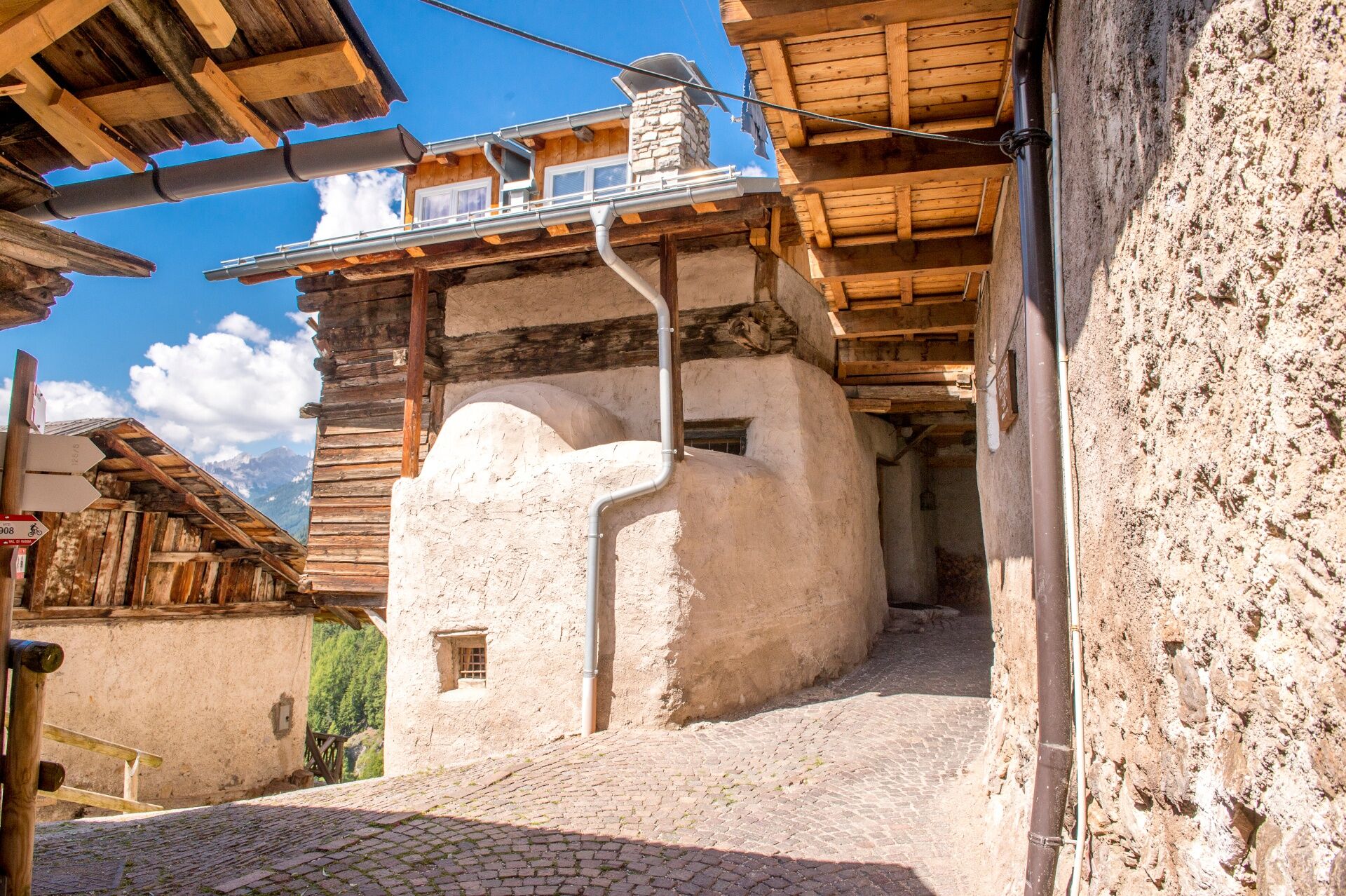
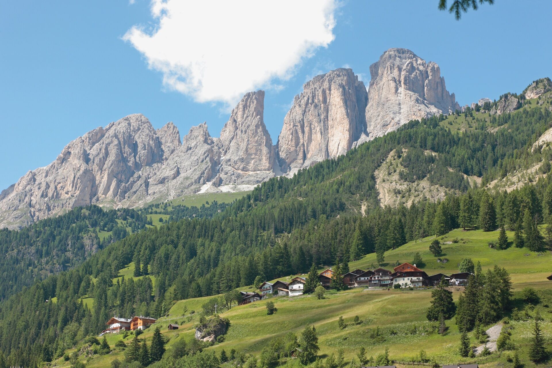
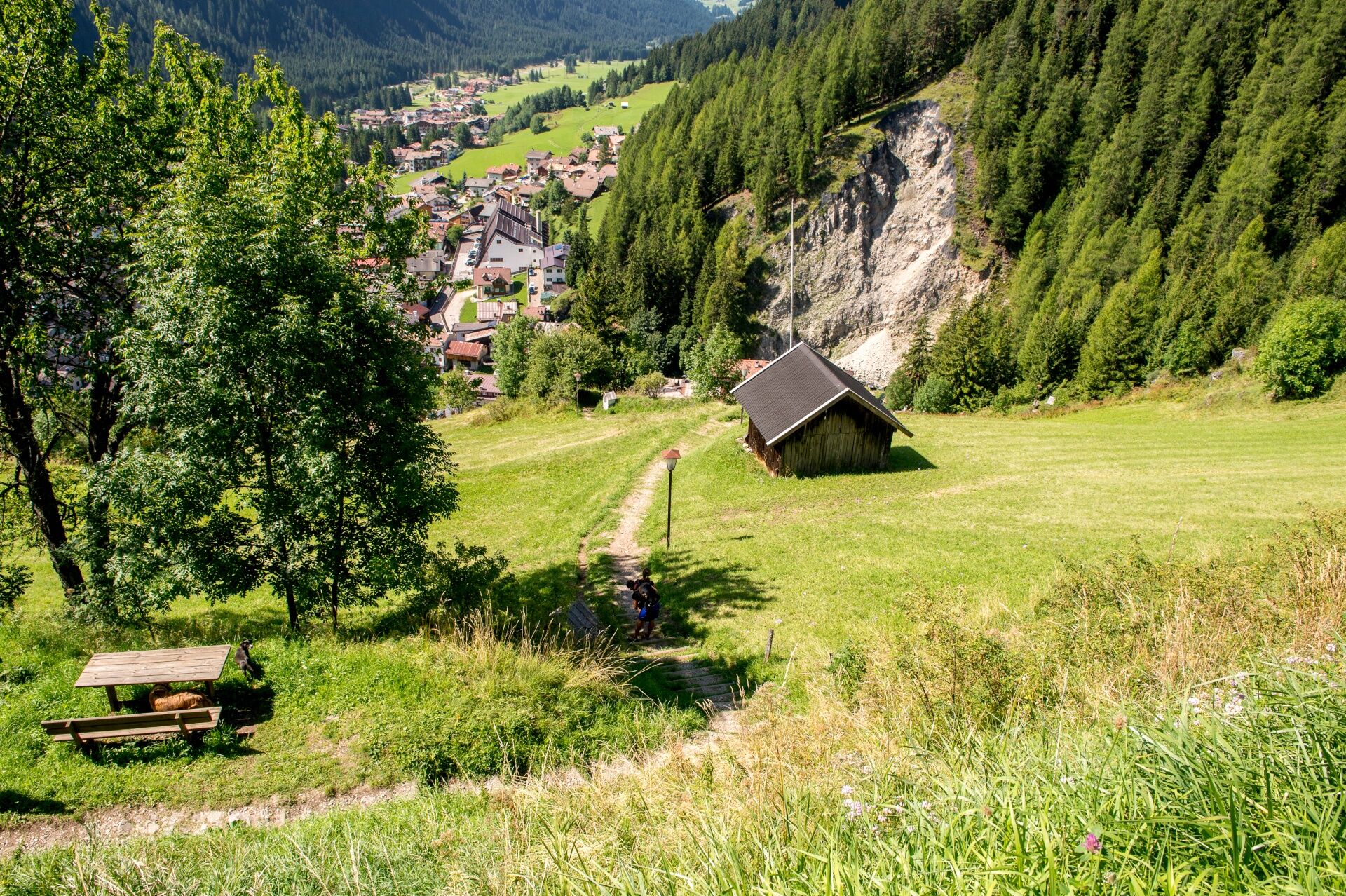
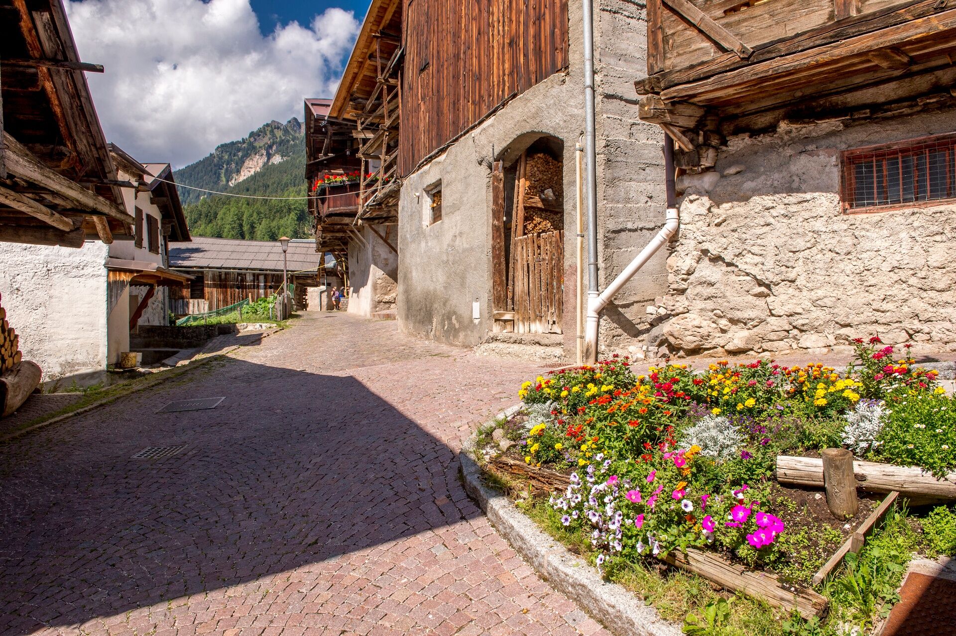
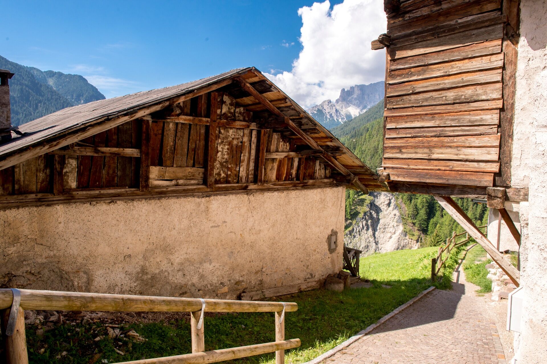
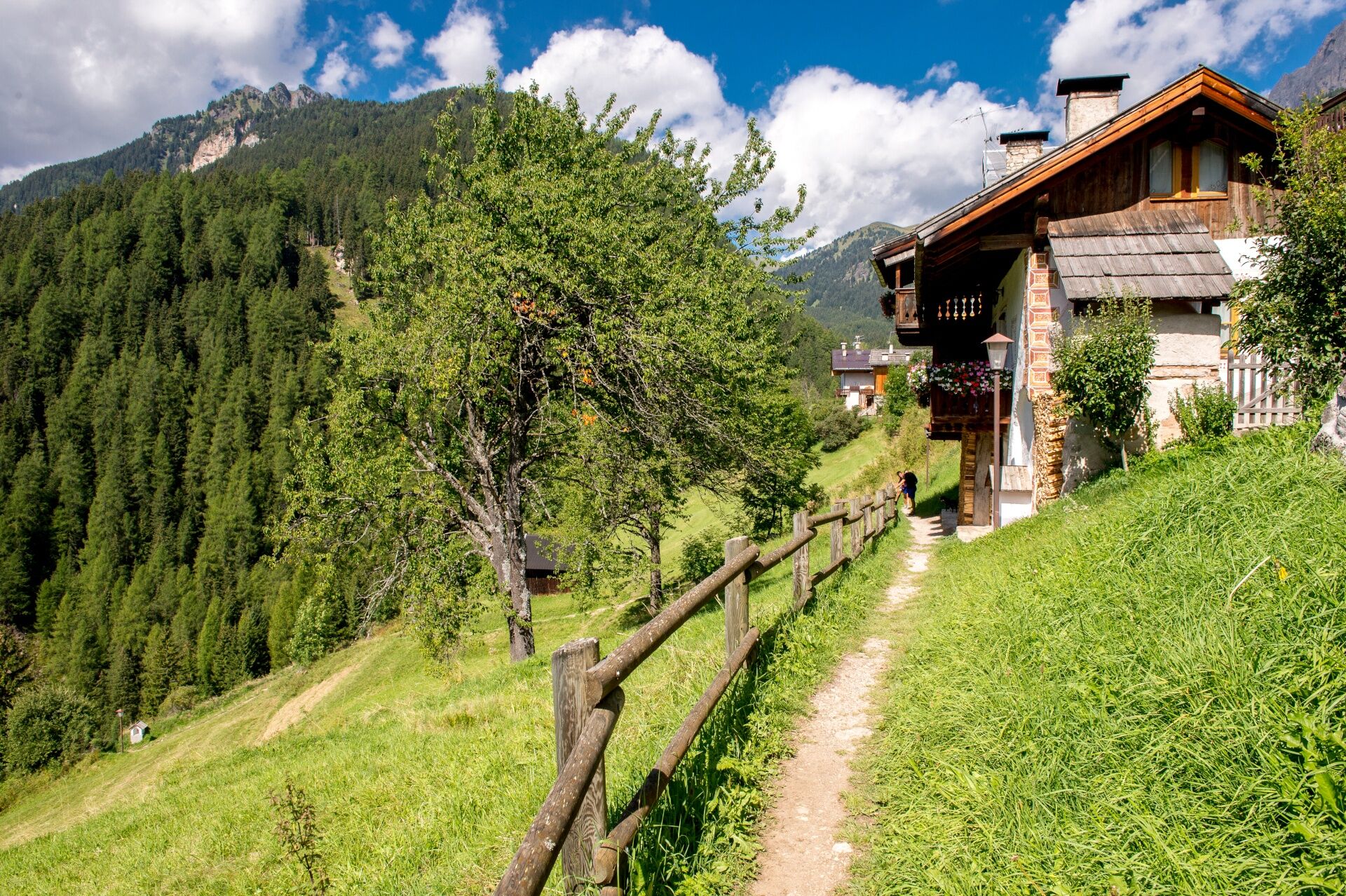
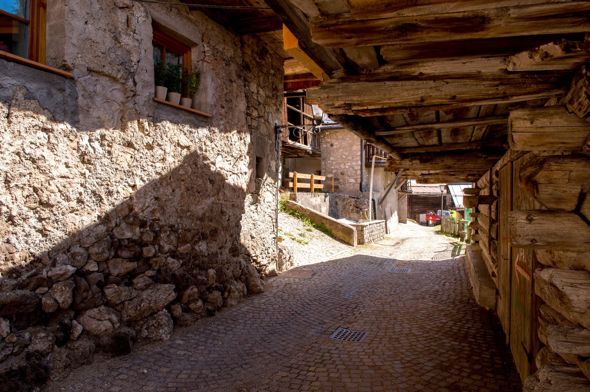
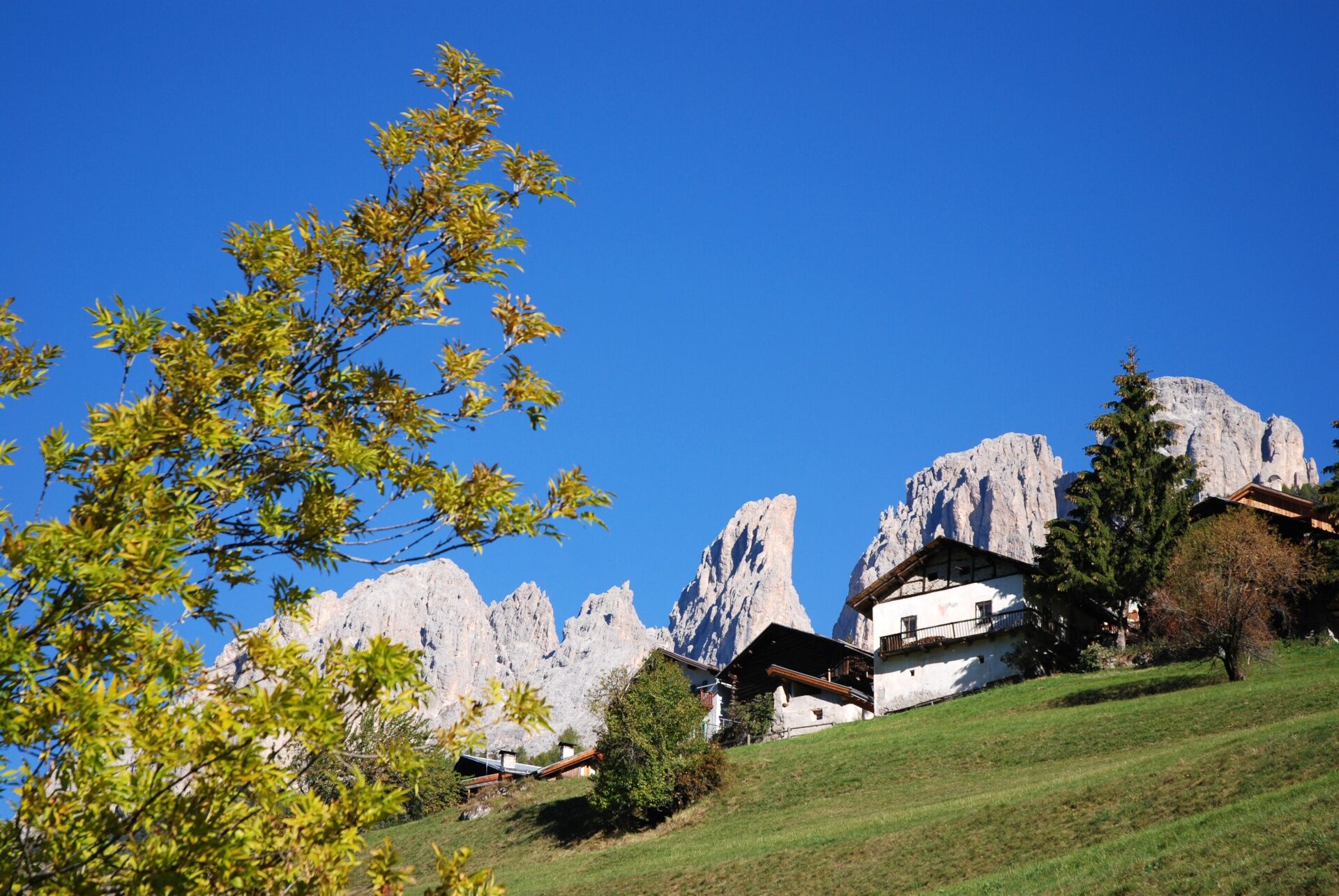
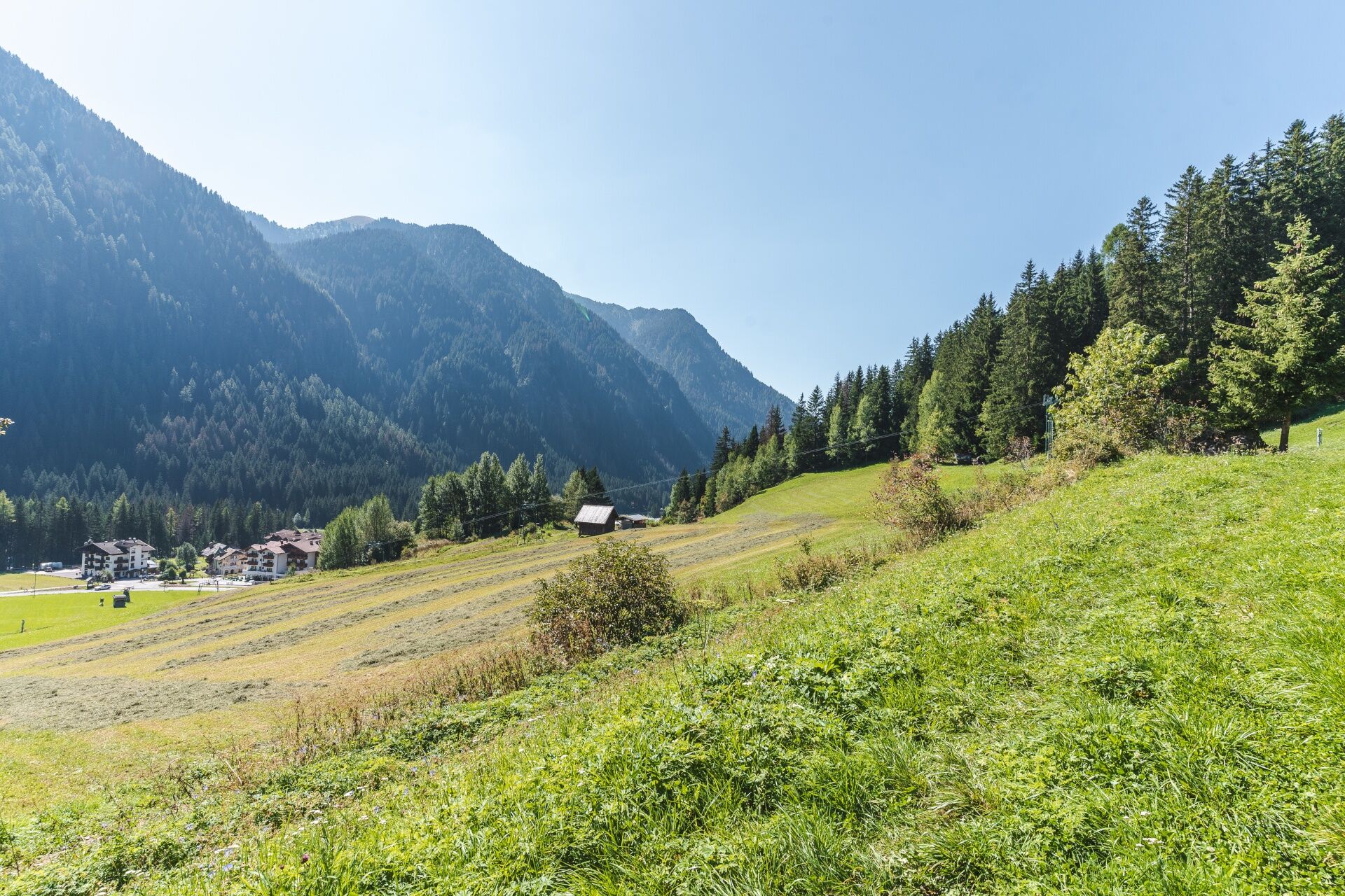
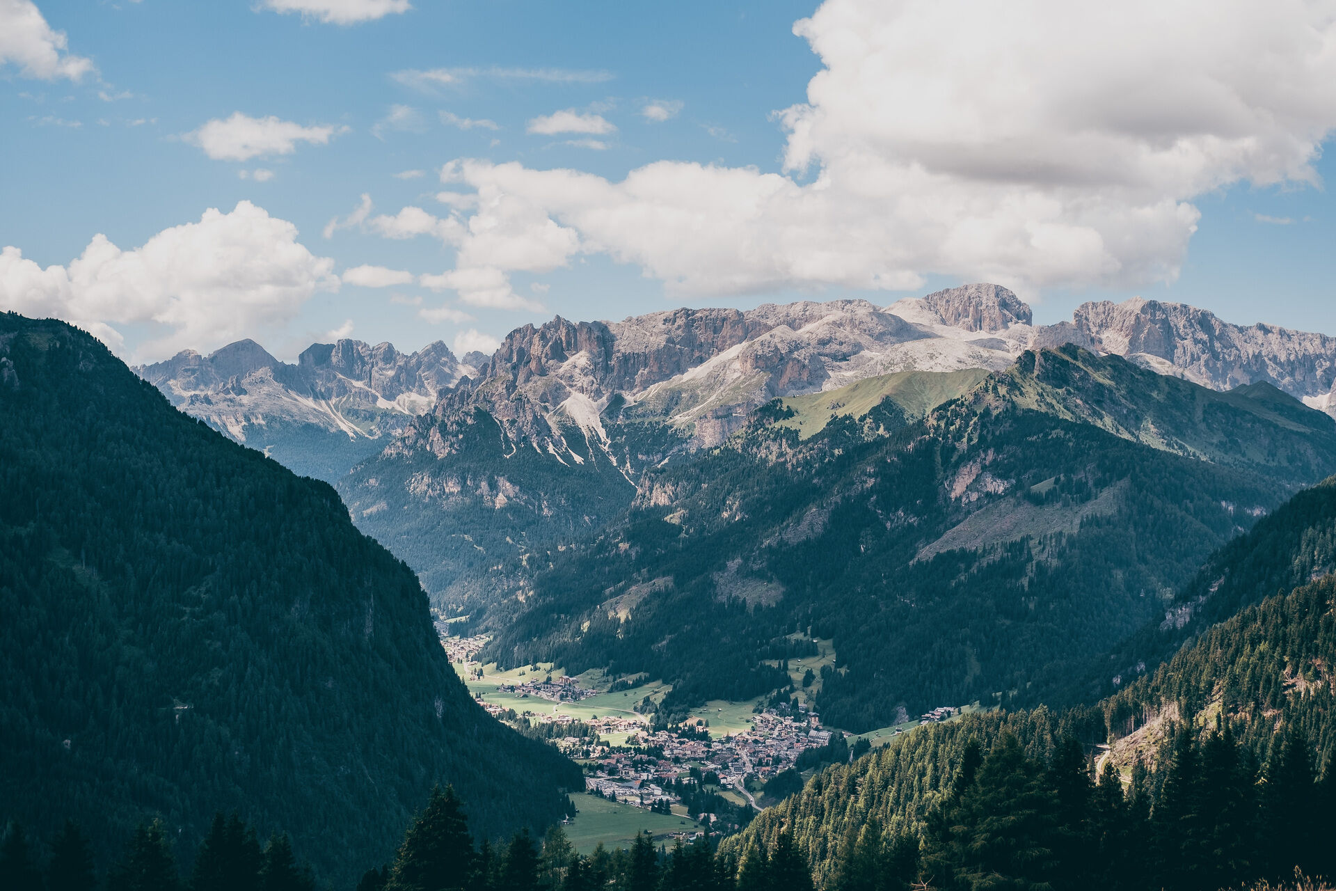
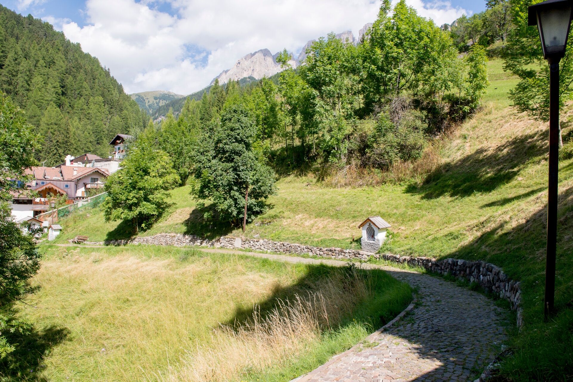
A few dozen metres from "Piaz de Ciampedel", the central square, where "Strèda de Salin" and "Strèda de Sènc Felip e Giacum" meet, climb the steps on the right. Go up a terraced path along which you will meet a series of chapels for the "Via Crucis" (the Way of the Cross). The chapels will lead to the village of "Pian". Here you can visit the village, one of the most ancient settlements in Val di Fassa. There are still people living here and some ancient ovens used to bake bread are still visible. Go back to Campitello descending to the right the asphalt road ("Strèda de Pian") leading to "Strèda de Col" and then to the starting point of the route. Alternatively, you can go in the opposite direction and take the dirt road that, across the mountainside, enters the Val Duron. After approximately a kilometre you arrive at the dirt road that climbs up from Campitello. Go left and cross the bridge in "Pian da Molin" and continue on that track, which is at first even and then climbs steeply towards Campitello.
- Directions
-
From Campitello mail square take "Strèda dò Ruf". At the junction between "Strèda de Salin" and "Strèda Sènc Felip e Giacum", turn to the right and go up the steps of ex Col Rodella chair lift station, walking in the direction of the upper hamlet of "Pian". Free parking spaces are available near the "Alpine Guides’ House" (turn to the right just before the bridge crossing the stream "Rio Duron").
Once you get to "Pian" (fountains can be found along the way), you can decide whether following the dirt road leading to Val Duron and returning down to Campitello, or immediately descending to the village centre along the paved road called "Strèda de Pian".
- Highest point
- 1,702 m
- Endpoint
-
Campitello di Fassa (Strèda Dolomites)
- Height profile
-
 © outdooractive.com
 - Equipment
-
Carry in your backpack the necessary to face possible emergency situations, and a first aid kit.
- Safety instructions
-
1. Plan your walk according to your skills and the weather.
2.Walk slowly, enjoy the landscape and the silence.
3. Inform somebody about your itinerary, return time and possible changes.
4. Rely on professionals (mountain and hiking guides).
5. Help those in need. Call 112 only in case of real necessity.
6. Make sure you have suitable clothes and equipment + some water and snacks.
7. Respect the environment around you and its inhabitants. Bring back your rubbish.
8. Follow the marked trails avoiding those in the bikepark.
9. To protect the wonders of nature, leave everything in its place.
10. Bring your pet along, but keep it on a leash.
- Tips
-
We recommend the use of walking poles.
No refreshment points along the route.
- Additional information
-
Tourist Board Val di Fassa
Strèda Roma, 36
38032 Canazei (TN)
Phone +39 0462 609500
info@fassa.com
www.fassa.com
- Directions
-
Main access points to the valley coming from A22 Modena-Brennero motorway:
- exit Ora/Egna, S.S. 48 delle Dolomiti - San Lugano Pass - Val di Fiemme - Val di Fassa (distance 45 km). At the roundabout in Moena (industrial area), proceed towards Canazei
- exit Bolzano Nord, S.S. 241 Grande Strada delle Dolomiti - Carezza Pass - Vigo di Fassa (distance 40 km). From Vigo, head north for Canazei, head south for Soraga di Fassa and Moena
Other access points to Val di Fassa:
- from A27 motorway (Venezia), exit Belluno/Ponte nelle Alpi, S.S. 203 to Agordo and S.P. 346 to San Pellegrino Pass - Moena (Val di Fassa). At the roundabout in Moena, proceed towards Canazei
- from A27 motorway (Venezia), exit Belluno/Ponte nelle Alpi, S.S. 203 to Agordo/Alleghe/Rocca Pietore. S.P. 641 to Fedaia Pass - Canazei
- coming from Arabba, S.S. 48 to Pordoi Pass - Canazei
- from Val Gardena, S.S. 242 to Sella Pass - Canazei
- Public transportation
-
Public transport lines Trentino Trasporti - Val di Fassa:
- line no. 101 Canazei - Cavalese - Trento
- line no. 104 Cavalese - Ora - Trento
- line no. 123 Moena - San Pellegrino Pass - Falcade
Public transport lines SAD - Val di Fassa:
- line no. 180 Vigo di Fassa - Carezza Pass - Bolzano
- Nearest bus stop (Trentino Trasporti): Campitello di Fassa > Piaz de Ciampedel
- Parking
-
Parking spaces in the "Ischia" area, near the "Col Rodella" cable car valley station.
- Author
-
The tour Campitello - Pian - Campitello is used by outdooractive.com provided.


General info
-
Dolomiten
1811
-
Fassatal
1088
-
Campitello di Fassa
453