
- Brief description
-
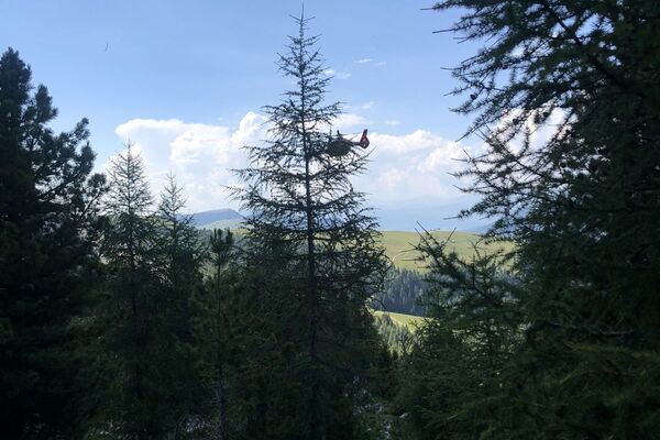
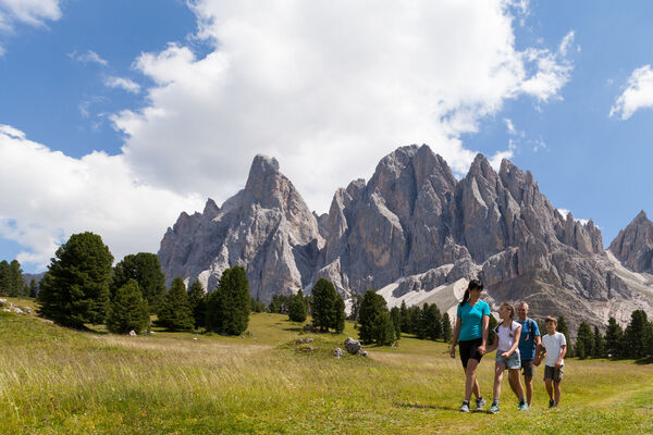
The Duron valley and the Antermoia are one of the most beautiful routes in the Catinaccio/Rosengarten.
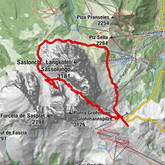
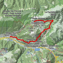
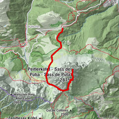
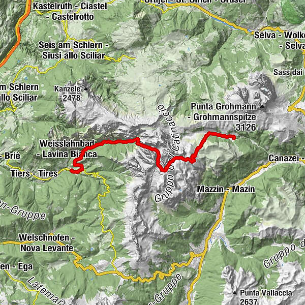
- Route
-
Micheluzzi0.0 kmDuronhütte0.0 kmBaita Lino Brach0.9 kmZopei (1,890 m)1.9 kmPasso Dona (2,516 m)5.0 kmRifugio Antermoia5.6 kmGrasleitenpasshütte8.5 kmGrasleitenhütte10.4 kmRechter Leger13.4 kmHohen Steg14.4 kmSchwarzer Letten15.5 kmUntertrumpedeller Schwaige16.9 kmSt. Zyprian19.1 km
- Description
-
Transfer by bus or by car over the Passo Carezza until Campitello di Fassa (1.540m), approx. 40 min. travel.
First ascents to the Micheluzzi hut, (1.860m) and further by the beautiful Duron valley. Soon a way branches left and rises constantly uphill up to the Antermoia hut (2.599m).
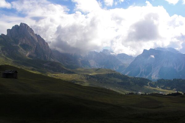
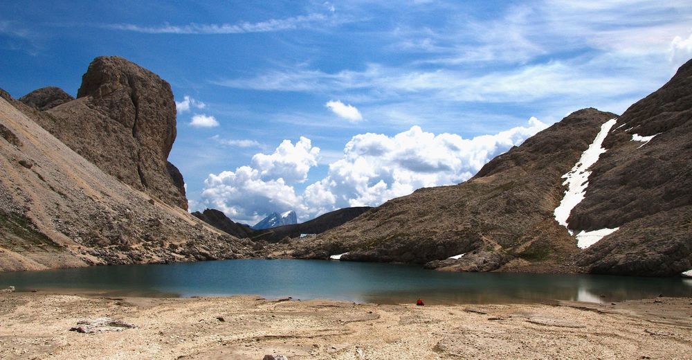
Briefly before the hut wonderful views on the surrounding Dolomite Mountains, like Plattkofel, Langkofel, Marmolata, Tofane and the Kesselkogel on the other side.
We walk on a narrow way to the Antermoia pass (2.765m) in approx. 1.5 h and then to the summit of the Scaliaret (2.898m) 1 hr. Here you have close views into the rock world or the Rosengarten, into the Vajolet piles, up to the Gardena Dolomites to the Langkofel, Pala group and the Marmolada.
From the Antermoia pass one rises off to the Passo Principe and further down to the Rifugio Bergamo hut (2.200m) after a good meal continues the way along down across the wild-romantic Tschamin valley to the Cyprianerhof, 3 h.
- Highest point
- 2,763 m
- Height profile
-
 © outdooractive.com

-

-
AuthorThe tour Duron Valley - Antermoia - Ciamin Valley is used by outdooractive.com provided.