
- Brief description
-
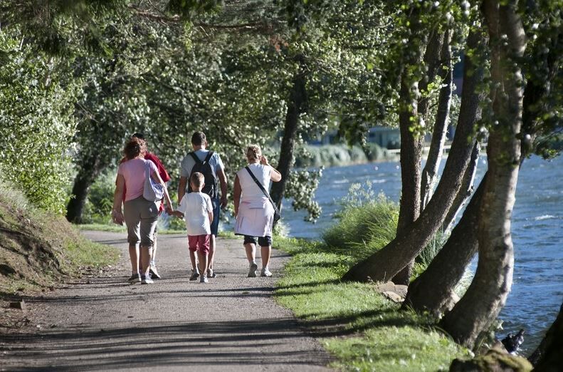
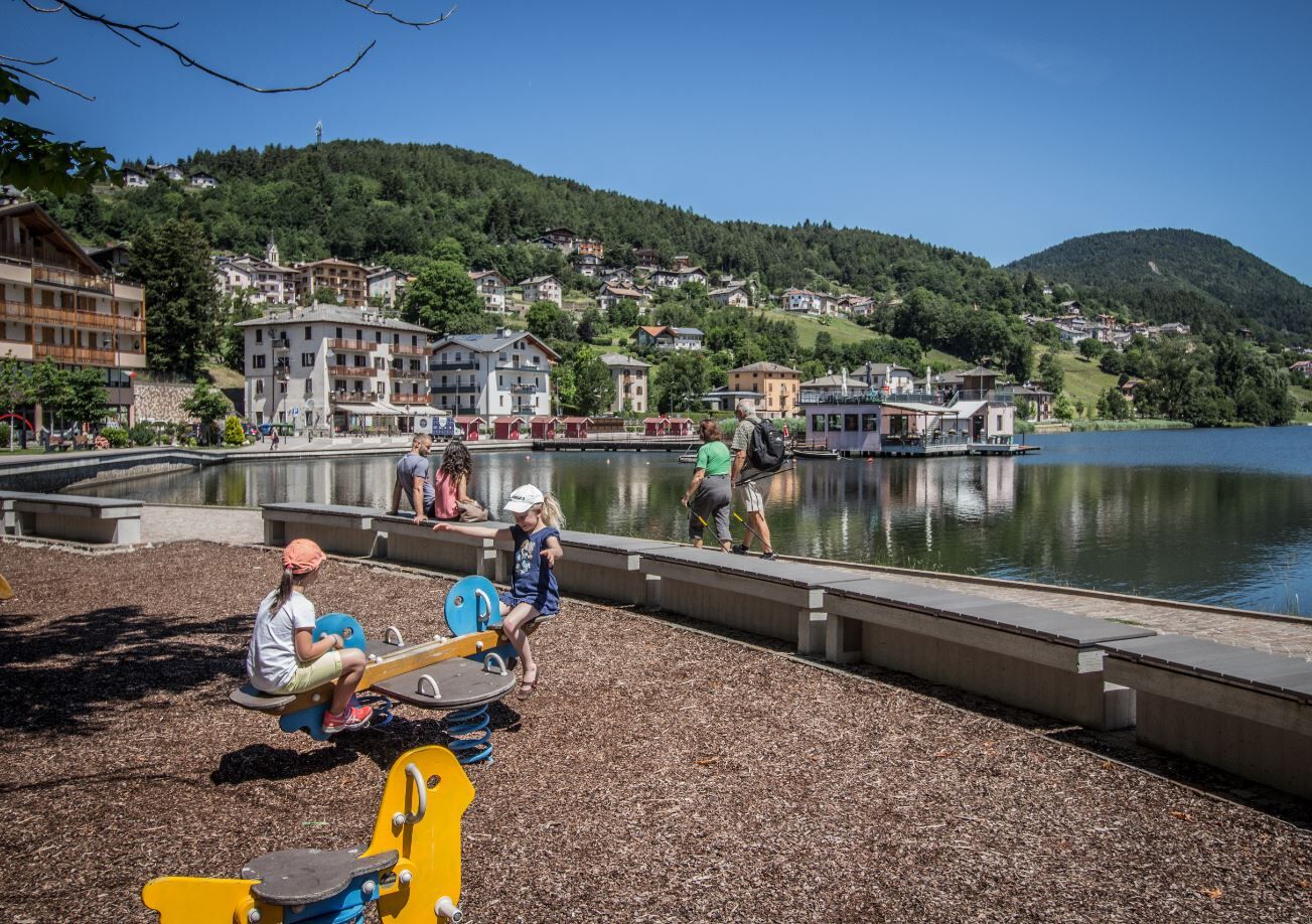
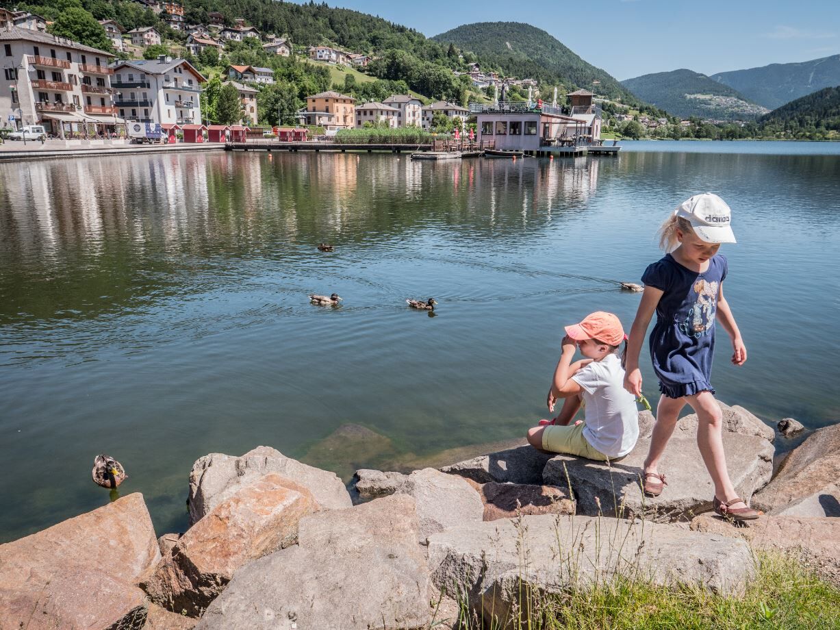
The tour around the lakes of the Piné Plateau is a relaxing, flat walk, which can also be reduced to a simple tour around one of the two lakes of Serraia or Piazze. It is suitable for everyone and also ideal for families with children.
For the more daring, the cycle/pedestrian path continues as far as the small Buse lake, which is particularly pleasant for outings and picnics.
- Difficulty
-
easy
- Rating
-
- Starting point
-
Baselga di Piné - Loc. Serraia
- Route
-
Baselga di Piné0.0 kmSerraia0.1 kmRicaldo0.2 kmSternigo0.6 kmSternigo al Lago1.1 kmRizzolaga1.8 kmCampolongo2.6 kmFabbrica4.3 kmPiazze4.4 kmCialini4.7 kmDoss5.2 kmRizzolaga7.0 kmNew Lido - Ristorante Pinseria8.5 kmLido8.6 kmSalarola8.9 kmBaselga di Piné9.1 kmSerraia9.2 km
- Best season
-
JanFebMarAprMayJunJulAugSepOctNovDec
- Description
-
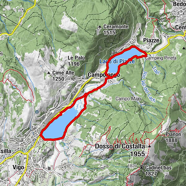
The route strolls around the two renowned lakes of the plateau, crossing the natural reserve "Paludi di Sternigo", and passing by a riding stable, refreshment points and free beaches equipped with playgrounds, to reach the final shore of Lake Piazze. From here, the return route can be made on the opposite shores of the two lakes to the outward route.The itinerary is almost entirely flat, with two short climbs in the section connecting the lakes (loc. campolongo), in places paved and in others unpaved. The length is about 9 km, which can be covered in about 2 hours of walking. The classic starting point is in the locality of Serraia or loc. Lido, on Lake Serraia, but the tour can also be walked from any of the car parks/parking areas around the lakes.
The route is also suitable for cycling.
- Directions
-
The proposed route begins in the terminal part of Lake Serraia in Baselga, heads for the cycle and pedestrian path along the western shore of the lake, crosses the "Paludi di Sternigo" nature reserve to Fabbrica (Hotel Pineta) along the eastern shore of Lake Piazze. From here begins the way back that runs along the northern shore of Lago delle Piazze (pedestrian path alongside the road). At the dam, take the small road on the left that connects to the same cycle-pedestrian path of the outward journey. Just before Paludi, at the Dallapiccola farm, keep left and travel along the eastern shore of Lake Serraia to the starting point.
- Highest point
- 1,043 m
- Endpoint
-
Baselga di Piné - Loc. Serraia
- Height profile
-
 © outdooractive.com
 - Equipment
-
We recommend to do this walk with all-terrain stroller.
Hiking shoes, rain-jacket, water, sun cream.
- Safety instructions
-
THE 10 RULES FOR HIKERS
Prepare your itinerary beforehand Choose an itinerary that suits your physical abilities Choose suitable clothes and equipment Check the weather forecast Hiking by yourself is more risky; if this is the case, take a mobile phone with you Leave information about your itinerary and your expected return time If you are not sure about your itinerary, contact an Alpine Guide Pay attention to signposts and directions that you find along your way Do not hesitate in going back if you feel too tired In case of emergency call 112 - Additional information
-
Trento Tourist Office - Tel. +39 0461 216000 - info@trento.info - www.trento.info
- Directions
-
From the A22 Brenner motorway (from the south exit Trento sud - from the north exit Trento north) and from the Brenner state road 12, continue on the S.S. 47 of the Valsugana for Pergine Valsugana - Padua. At the junction for Altopiano di Piné, continue then on the S.P. 83 of Piné untill you reach lake Serraia.
- Public transportation
-
It is possible to reach lake Serraia and lake Piazze with the lines B 403 and B 402 if the suburban public transport.
- Parking
-
Several parking posibilities near Lake Serraia.

- Author
-
The tour Tour of the lakes of the Plateau is used by outdooractive.com provided.