


- Brief description
-
Classic itinerary also suitable for beginners.
- Difficulty
-
easy
- Rating
-
- Starting point
-
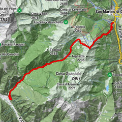
Bellamonte - Loc. Castelir
- Route
-
Castelir di BellamonteEl Zirmo
- Best season
-
AugSepOctNovDecJanFebMarAprMayJunJul
- Description
-
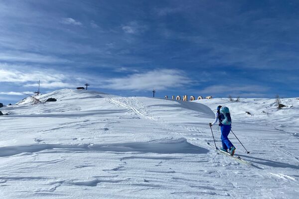
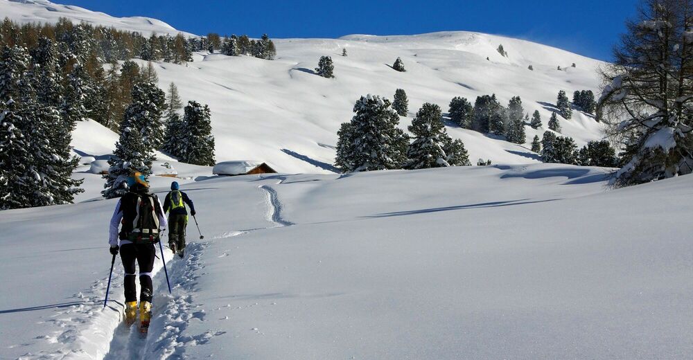
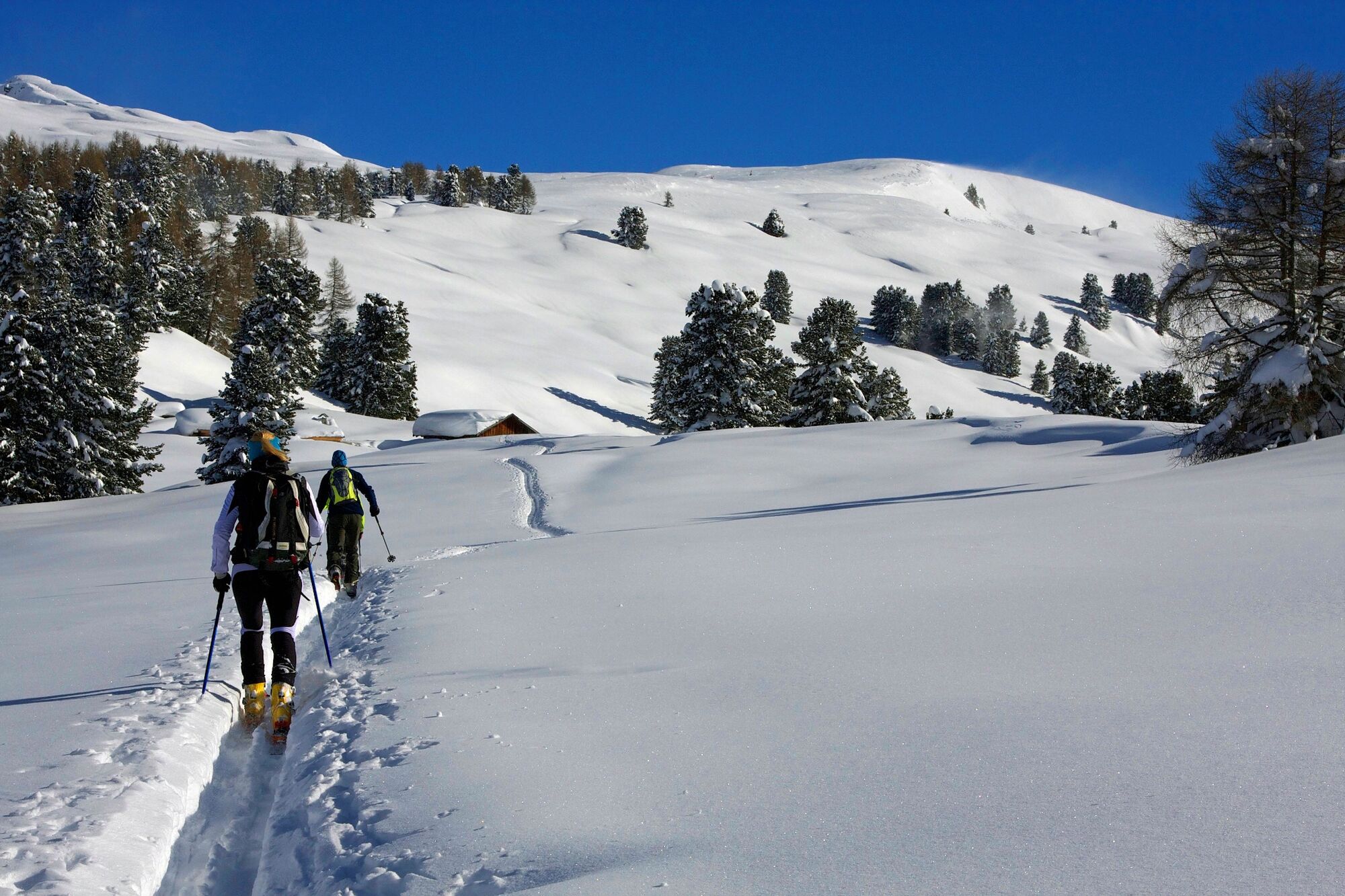
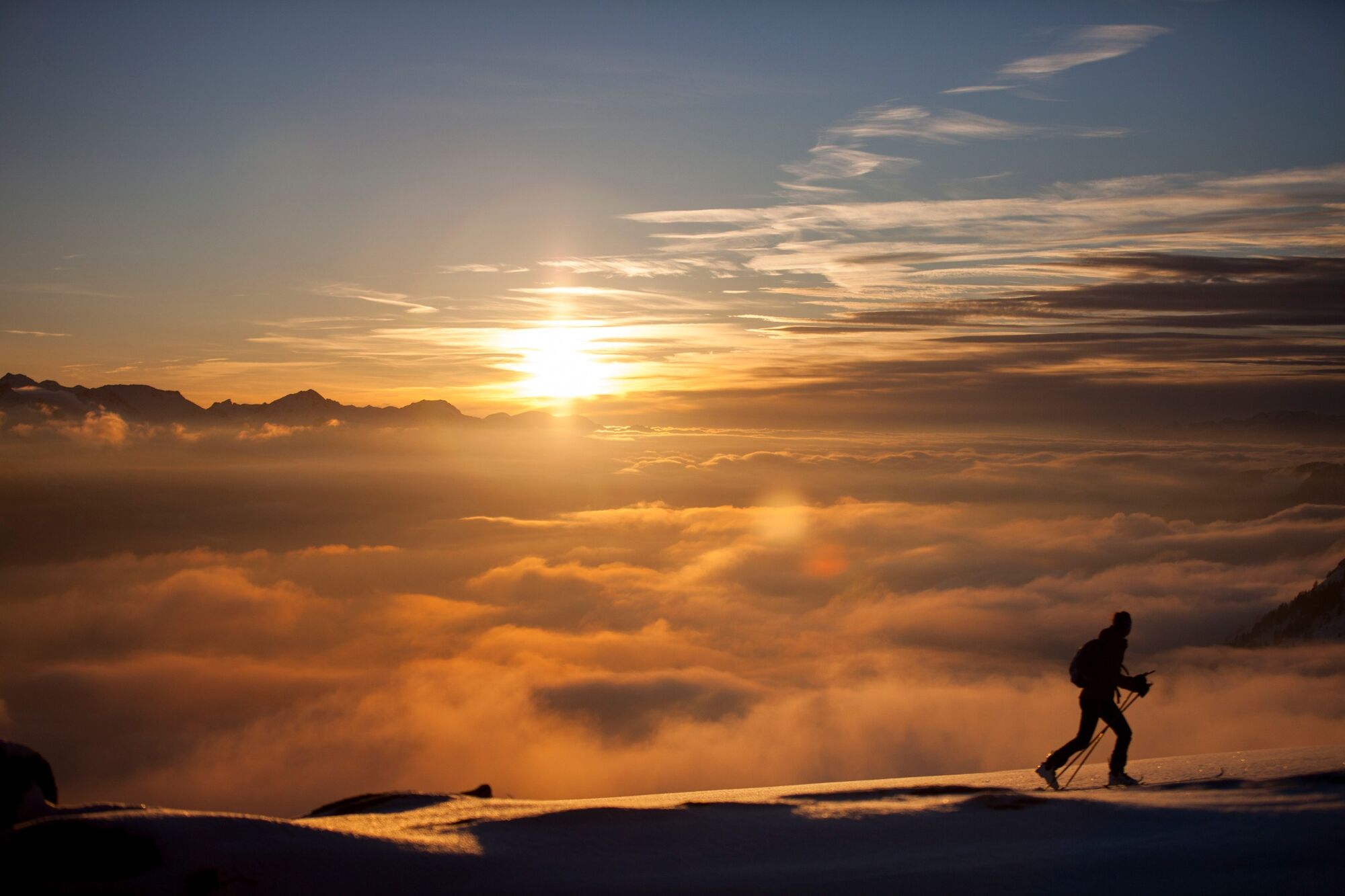
Castelir is the starting point of the Bellamonte 3.0 cableway which connects Bellamonte ski area with Alpe Lusia. As soon as you leave the slopes you are immersed in a quiet environment. The itinerary takes place in a sparse forest of fir and larch trees. In the final part the vegetation gives way to the wonderful views of the Pale di San Martino and the Lagorai chain. The itinerary is also generally used by hikers with snowshoes.
- Directions
-
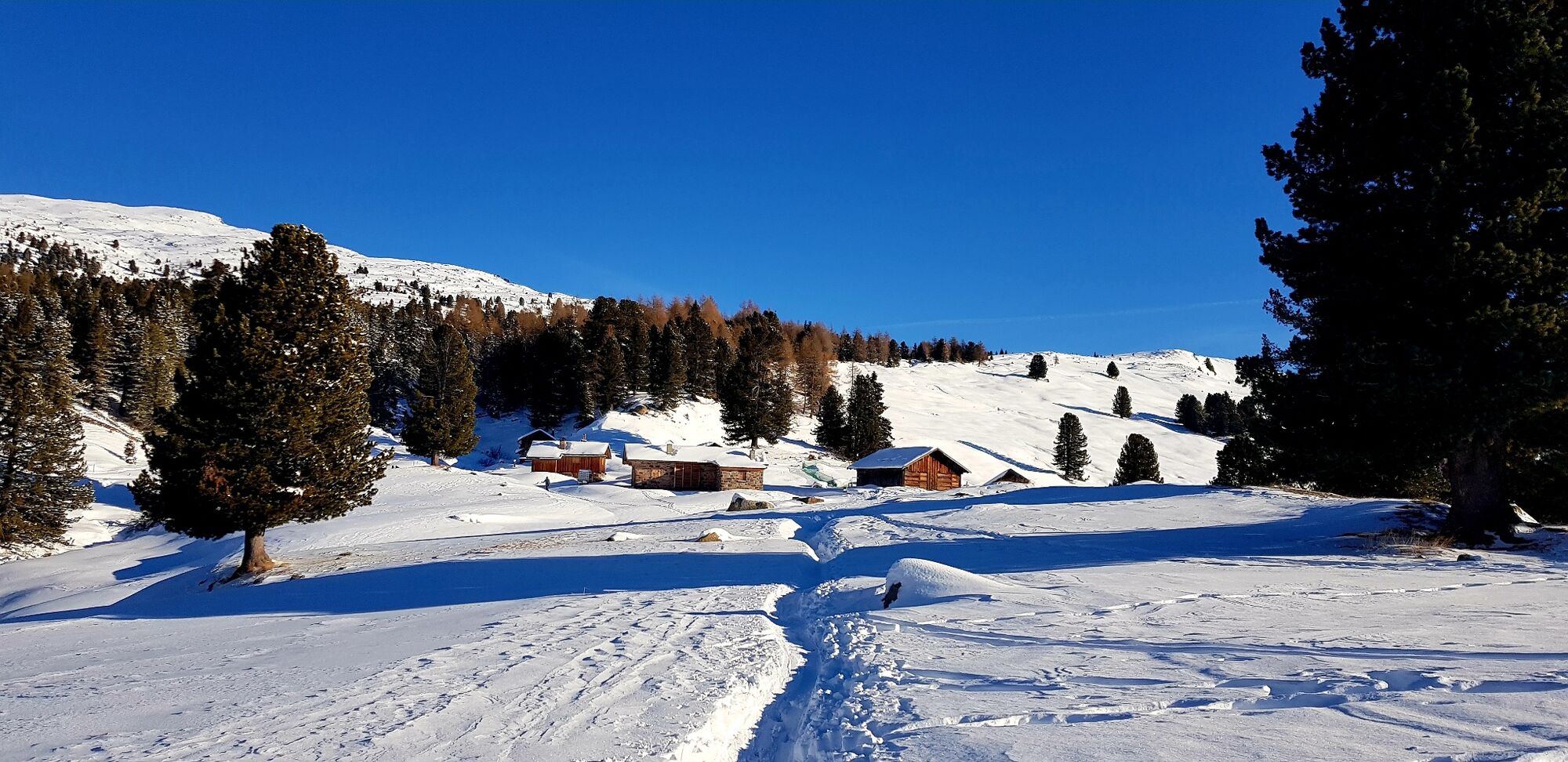
WAY UP Take the forest road behind the El Zirmo restaurant which, in constant ascent, connects Castelir to Malga Canvere. You move further and further away from the slopes through a wide forest with typical alpine huts. The slope is constant, but never particularly pronounced. Arriving at Malga Canvere, the forest thins out and the few pine trees embellish the view over the imposing Pale di San Martino and the Lagorai chain. The hut is not managed.
WAY DOWN From the huts, head left along the obvious snowy forest road that leads to the slopes of the Bellamonte - Alpe Lusia skiarea and descend along the slope keeping to the left.
- Highest point
- 1,970 m
- Endpoint
-
Canvere
- Height profile
-
 © outdooractive.com
 - Equipment
-
For all ski-mountaineering activities, the proper apparel is strongly recommended. Skiers must bear in mind that temperatures can dip quickly and garments should also be suitable for snowy conditions (such as waterproof Gore-Tex jackets). Furthermore, gloves, cap, sun glasses and sun cream should also form part of every off-piste skier’s basic gear.
It’s COMPULSORY to carry with you an avalanche rescue kit consisting of avalanche transceiver, probe and shovel (this is also available for rent). In the case of hard snow cover or ice, ski crampons are recommended.
- Safety instructions
-
Remember, snowpack stability is subject to sudden and unforeseeable changes and shifts. Always check the local avalanche bulletin (www.meteotrentino.it or any other service that suits your needs) before departure and make sure you gather all possible information concerning current conditions by calling the Mountain Guides.
GPS routes are merely indicative of the more reasonable track but must not be followed blindly without first checking current slope and terrain conditions.
THE 10 RULES FOR HIKERS
Prepare your itinerary beforehand Choose an itinerary that suits your physical abilities Choose suitable clothes and equipment Check the weather forecast Hiking by yourself is more risky; if this is the case, take a mobile phone with you Leave information about your itinerary and your expected return time If you are not sure about your itinerary, contact an Alpine Guide Pay attention to signposts and directions that you find along your way Do not hesitate in going back if you feel too tired In case of emergency call 112 - Tips
-
The wooden huts of Canvere with the Pale di San Martino in the background are a panorama that deserves more than a photo.
- Additional information
- Directions
-
From Predazzo drive towards Passo Rolle. Once passed the village of Bellamonte, turn left and follow the directions to skiarea "Bellamonte - Alpe Lusia" (Castelir).
- Public transportation
-
Ski bus service from Predazzo to the Castelir ski area (Bellamonte).
- Parking
-
Many parking lots at the lift departure.
-

-
AuthorThe tour Castelir - Canvere is used by outdooractive.com provided.


General info
-
Dolomiten
206
-
San Martino di Castrozza
47
-
Bellamonte
24