

- Brief description
-
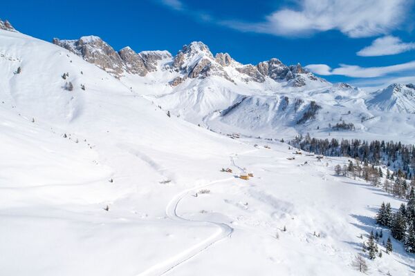
This excursion, although quite short, offers fantastic views of the Pale di San Martino and the Lagorai chain.
- Difficulty
-
easy
- Rating
-
- Starting point
-
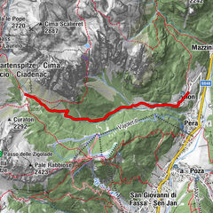
Malga Vallazza
- Route
-
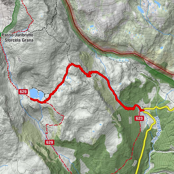
Malga Vallazza Agritur (1,935 m)0.0 kmMalga Vallazza Agritur (1,935 m)5.8 kmMalga Vallazza5.8 km
- Best season
-
AugSepOctNovDecJanFebMarAprMayJunJul
- Description
-
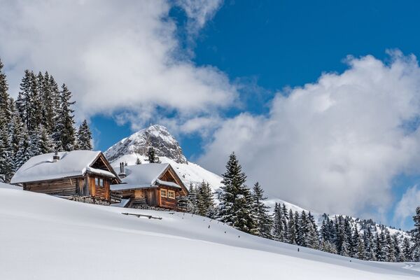
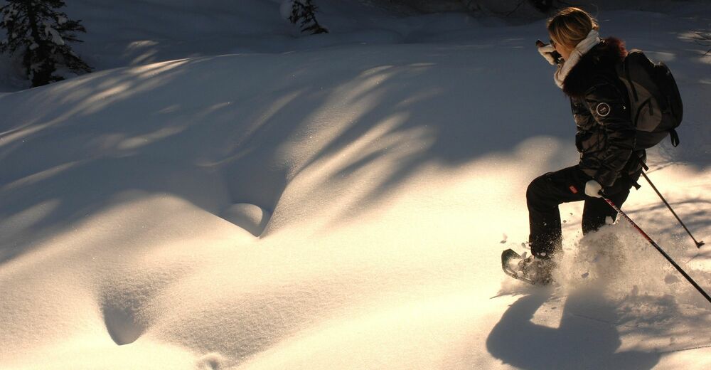
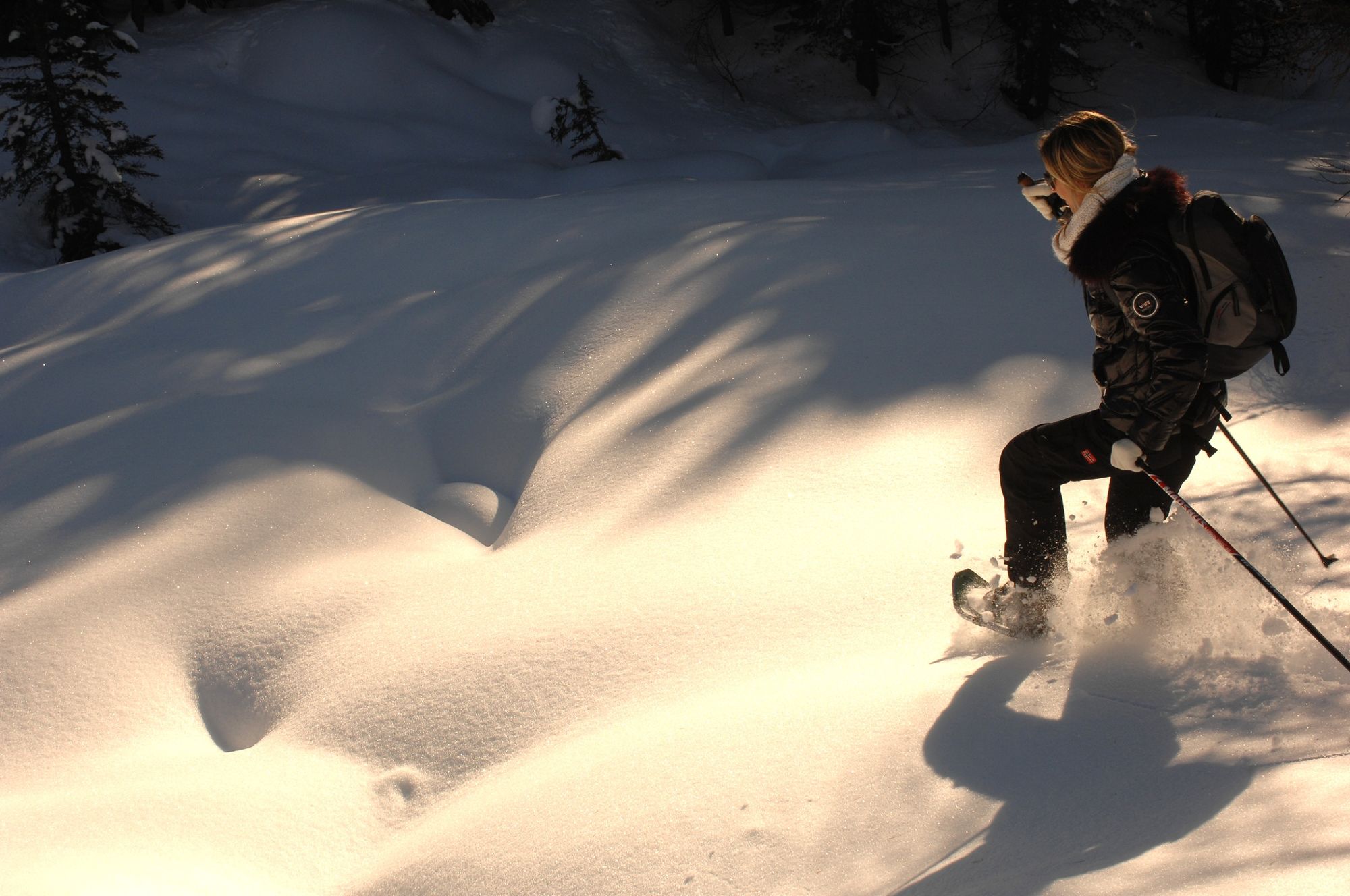
Classic excursion for both snowshoes and ski mountaineering. After the first stretch in the pine and larch woods, the route develops on land without vegetation. The plateau at an altitude of 2,280 offers a fantastic view of the Pale di San Martino. Once you reach the Juribrutto Lake, nestled in a basin, you can admire the panorama of the Lagorai chain.
- Directions
-
WAY UP From Malga Vallazza (1935 m) walk up going north-west along the stream Vallazza, where you will find the summer trail nr 631 which leads to a plain at about 2150 m of altitude. Here you will find a sign pointing to Juribrutto lake: climb up going west and get to a small hill (2286 m), then keep walking south-west and on a slight descent you will reach the lake (2206 m)
WAY DOWN On the same itinerary.
- Highest point
- 2,333 m
- Endpoint
-
Juribrutto Lake
- Height profile
-
 © outdooractive.com
 - Equipment
-
Warm and waterproof winter clothes. Spare shirt, gloves, wool cap, sunglasses, sunscreen, water, snacks, hiking shoes and hiking poles.
It’s COMPULSORY to carry with you an avalanche rescue kit consisting of avalanche transceiver, probe and shovel.
- Safety instructions
-
Tour not recommended in case of fog.
THE 10 RULES FOR HIKERS
Prepare your itinerary beforehand Choose an itinerary that suits your physical abilities Choose suitable clothes and equipment Check the weather forecast Hiking by yourself is more risky; if this is the case, take a mobile phone with you Leave information about your itinerary and your expected return time If you are not sure about your itinerary, contact an Alpine Guide Pay attention to signposts and directions that you find along your way Do not hesitate in going back if you feel too tired In case of emergency call 112Remember, snowpack stability is subject to sudden and unforeseeable changes and shifts. Always check the local avalanche before departure and make sure you gather all possible information concerning current conditions from the local Mountain Guides. GPS tracks are merely indicative of the more standard routes but must not be followed blindly without first checking current slope and terrain conditions. Correct orientation may be a problem at times along the higher stretches of this route due to fog or low cloud cover.
- Tips
-
The most trained and experienced can reach Juribrutto Peak.
- Additional information
- Directions
-
From Predazzo drive toward Passo Rolle: once passed the Visitors’ Centre of the Paneveggio Natural Park turn left to Passo Valles. Go on until you reach Malga Vallazza, before the top of the pass.
- Parking
-
At Malga Vallazza, just before Passo Valles
- Author
-
The tour Juribrutto Lake from Malga Vallazza is used by outdooractive.com provided.