
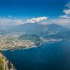
- Brief description
-
A perfect MTB tour for children.
- Difficulty
-
easy
- Rating
-
- Starting point
-
Caneve (Arco)
- Route
-
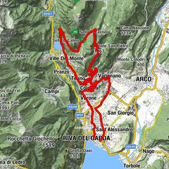
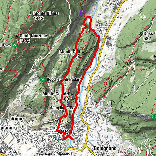
Arco0.7 kmChiesa Collegiata di Santa Maria Assunta0.8 kmSanta Maria di Laghel2.4 kmCeniga6.4 kmLa Lanterna7.6 kmSeesons9.0 kmParco giochi Ristorante California9.0 kmPrabi9.2 kmSan Martino9.3 kmChiesa di Sant'Apollinare9.4 kmMogno10.0 kmChiesa di San Giuseppe10.0 kmCaneve10.2 kmArco10.3 km
- Best season
-
JanFebMarAprMayJunJulAugSepOctNovDec
- Description
-
Signage: 749. Laghel Family - Tour
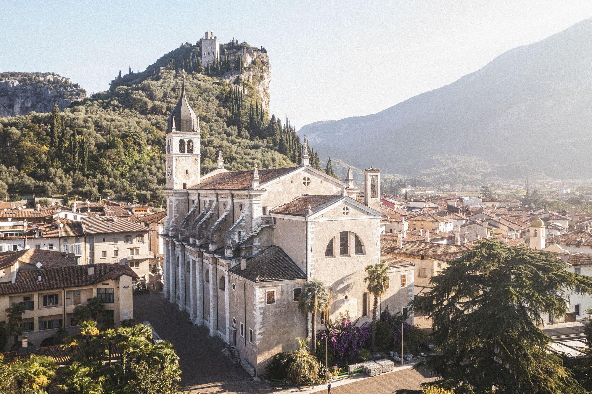
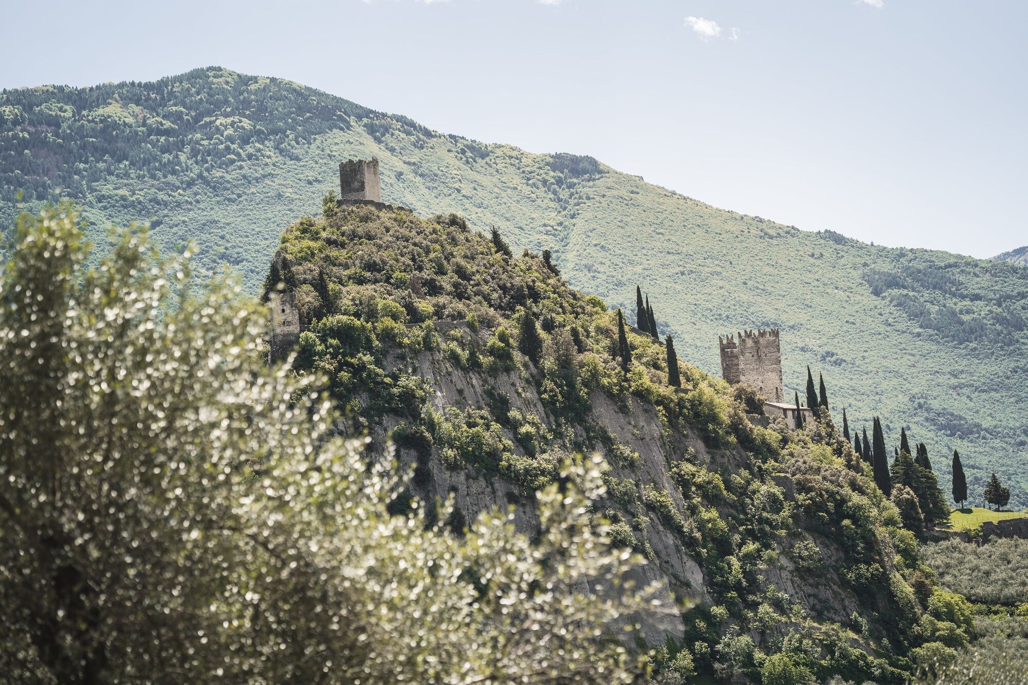
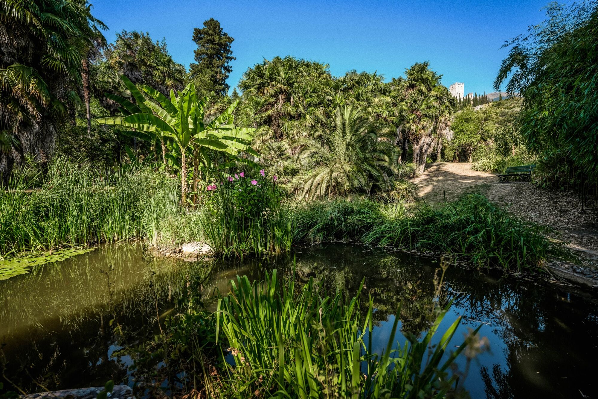
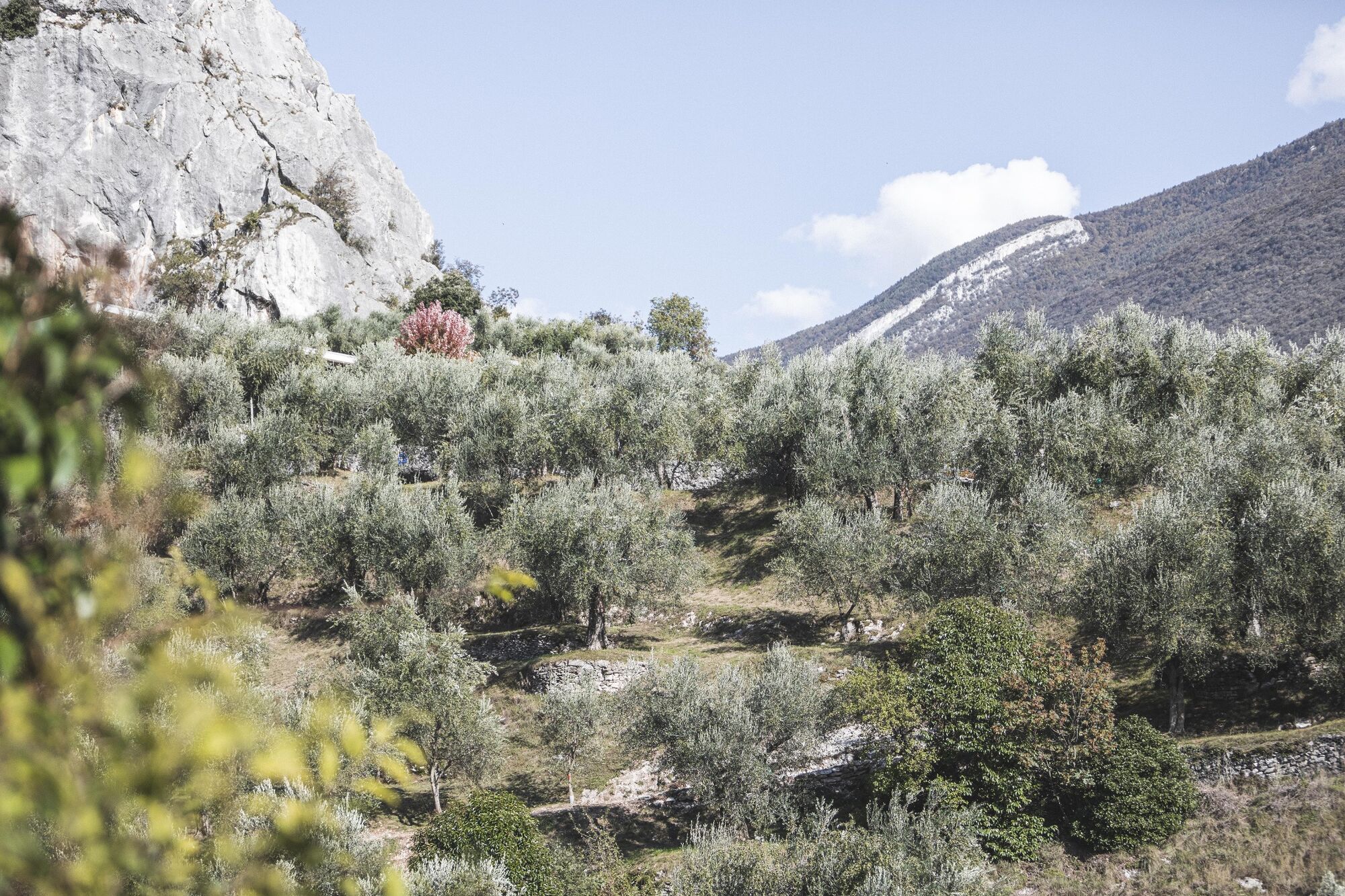
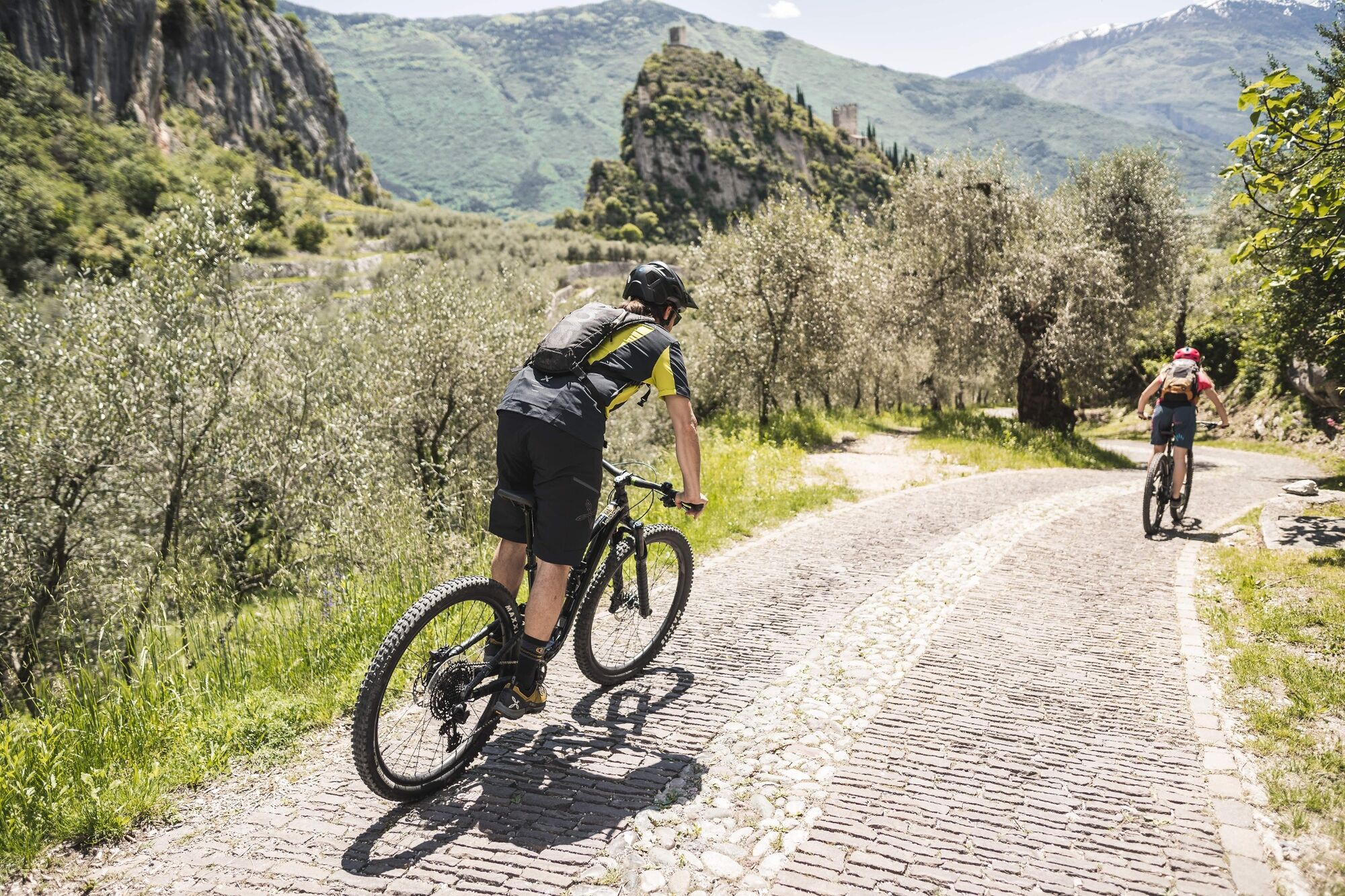
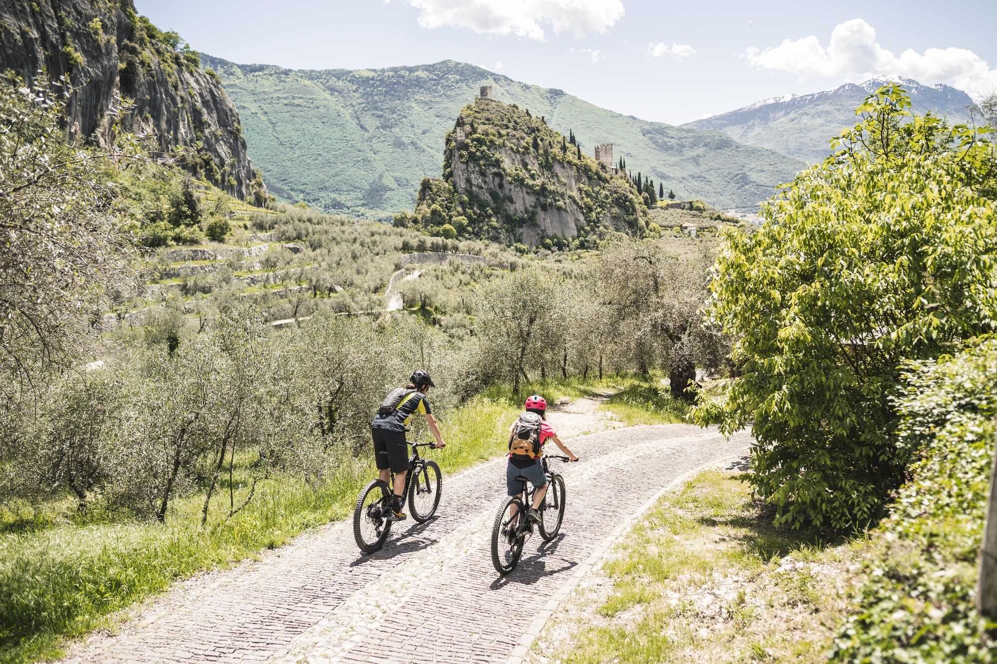
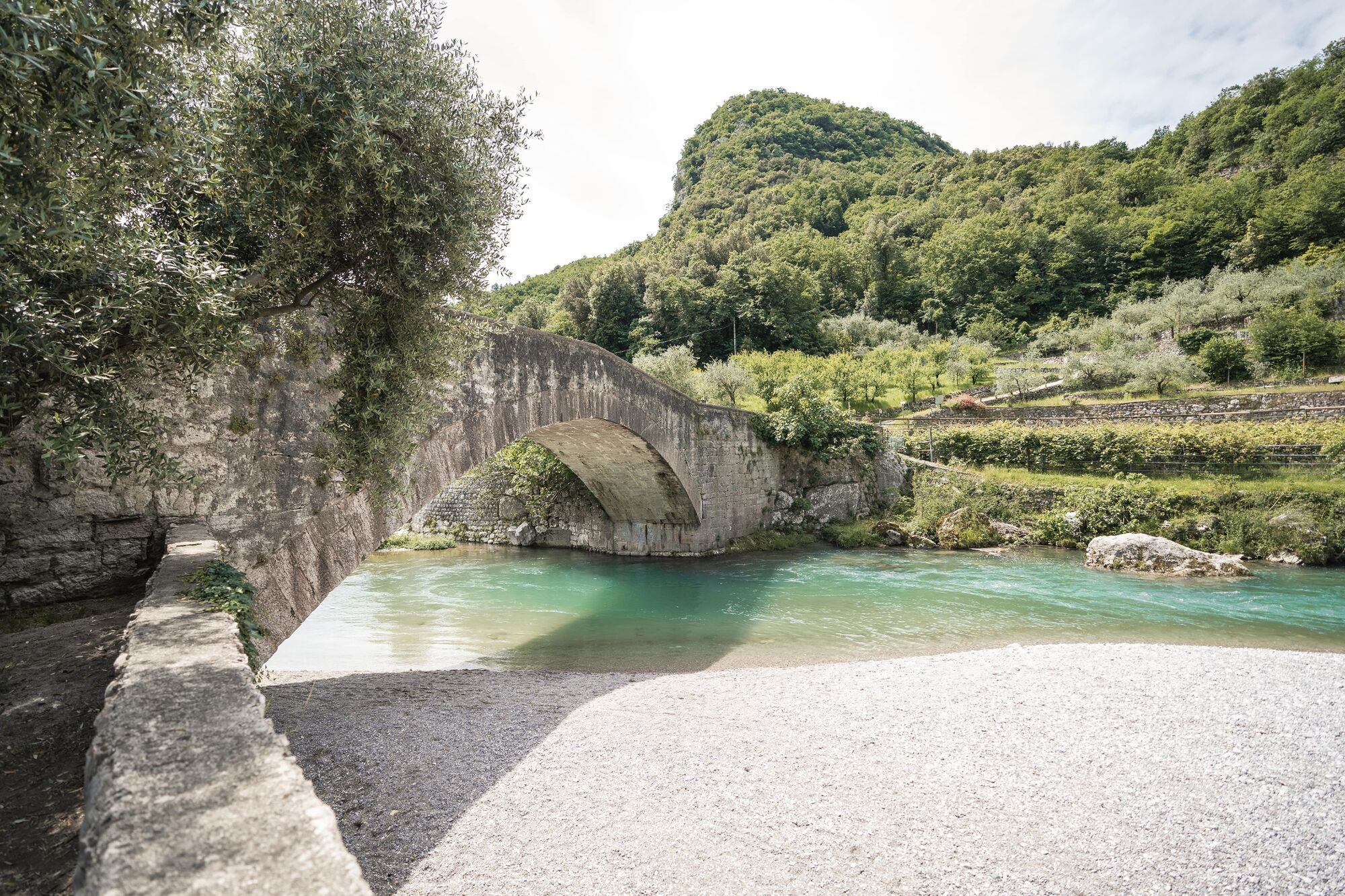
This circuit isn’t just fun for children of course. It’s short and doesn’t have too much climbing, but what it does have is scenic beauty, which is sufficient motivation for many adults. Start by passing the old town on the way up to the Arboreto di Arco, then take the road on the right towards Laghel. Ascend through the olive groves, bordered on either side by imposing rock faces. After just under 2.5 km you pass the church of Santa Maria di Laghel, the end of the stations of the cross that lead up from Arco. From there you have to climb about 100 metres before transitioning to gravel paths and enjoying an engrossing descent down into Valle del Sarca, which you reach near Ponte Romano, a beautiful old bridge near Ceniga. It’s then a flat ride back along the river to the starting point in Arco.
- Directions
-
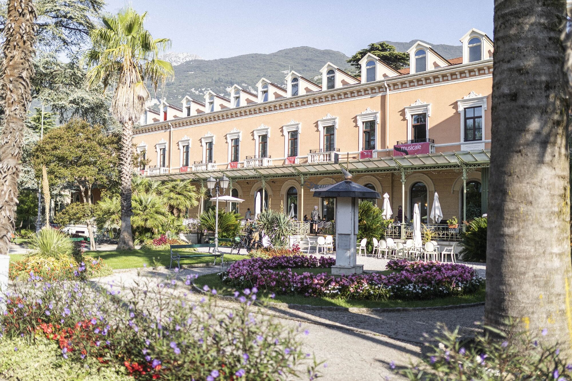
The route starts in Arco, or more precisely at the cycle path near the Caneve car park. Following the initial directions, head toward the town centre, where it is fairly easy to find the public gardens in the town centre.
At the far left of the park, take Viale delle Magnolie and then turn right into Via Porta Scaria, which runs uphill skirting the historic centre and the arboretum. At the town gate in Stranfora, turn left and at the following fork keep right to turn into Via del Calvario. Then, you'll soon come upon another crossroads, where you have to turn right to reach the church of Santa Maria di Laghel.
Turn left here and continue straight onto Via Laghel di sotto for just under 1.5 km. The signposts will then lead you to turn right onto a dirt / gravel road. At the start, this section is quite flat, but it soon turns into a partly cemented downhill stretch. Having reached the end of the descent you will see Maso Lizzone on your left. Turn right here to reach the nearby Roman bridge of Ceniga.
Do not cross the bridge but continue straight ahead to follow the quiet road to Prabi, pass by the more modern bridge close to the centre of Arco, still not crossing and take the cycle path. Finally cross the river using the cycle bridge and return to Caneve.
- Highest point
- 307 m
- Endpoint
-
Laghel
- Height profile
-
 © outdooractive.com
 - Equipment
-
Riding your bike requires specific clothing and equipment, even for relatively short and easy trips. It is always better to be prepared… e.g. for bad weather or a sudden drop in your energy levels. The unexpected things are part of the fun!
Remember to thoroughly evaluate the type of route you plan on doing, the locations you intend to cross and the current season. Has it been raining? Attention: The paths may be slippery and require more caution.
What do I need to bring on my bike tour?
An adequate water supply according to your needs (considering temperature, possibility of refuelling and duration of the route) Plenty of snacks (for example, dried fruit or energy bars) Waterproof / Windproof jacket A spare top / spare socks (Descending in a sweaty garment, will make you cold). Suncream Sunglasses Bike gloves/mitts Map or GPS device Bike lights: best placed on your helmet or handlebars. (It is always best to be prepared) Bike repair kit for punctures and mechanical breakdowns First aid kit Emergency whistleIt is always advised to let someone know where you plan to go and how long you expect to be.
Emergency telephone number 112.
- Safety instructions
-
ITRS - International Trail Rating System
The ITRS is an objective way to assess trails and routes from a biker’s perspective, evaluating four aspects:
Technical Difficulty: riding skill level needed Endurance: combined effect of length, uphill and downhill Wilderness: amount of planning required based on mobile phone reception, rescue options, water supply and wildlife Exposure: consequences of a fallDiscover more about the ITRS system and check the classification of this tour in the photo gallery.
Safety Tips
Always wear your helmet. Plan your ride. You share the trail with other users. Yield right of way to hikers. Let your speed be determined by your experience. Ride slowly on crowded trails, overtake with politeness and respect. Cycle only on authorized and open trails. Avoid muddy trails in order not to damage them further. Respect public and private property. Always be self-sufficient. Do not cycle solo in remote areas.This information is subject to inevitable variations, so none of these indications are absolute. It is not entirely possible to avoid giving inexact or imprecise information, given how quickly environmental and weather conditions can change. For this reason, we decline any responsibility for changes which the user may encounter. In any case, it is advisable to check environment and weather conditions before setting out.
- Tips
-
In summer be sure to bring your swimsuit: underneath the Roman bridge in Ceniga there is a little beach, ideal for cooling down.
- Additional information
- Directions
- Public transportation
-
The main towns in Garda Trentino - Riva del Garda, Arco, Torbole sul Garda, Nago – are connected by several urban and intercity bus lines which will take you to the starting point of tours or in the immediate surroundings.
You can also get to Riva del Garda and Torbole sul Garda by the public ferry service.
Up-to-date information on timetables and routes.
- Parking
-
Parking near the former hospital (Via Rosmini) or the former cemetery (Viale Damiano Chiesa).
Paid parking: Terme Romane (Viale Roma), Vecchia stazione (Largo Medaglie d’Oro), Ex-agraria (Via Lutti), Area ex-Cattoi (Viale Rovereto).
-
-
AuthorThe tour Laghel Family - Tour is used by outdooractive.com provided.


General info
-
Garda Trentino
143
-
Arco di Trento
74