


- Brief description
-
A circuit that has everything that goes to make up a great tour.
- Difficulty
-
difficult
- Rating
-
- Starting point
-
Caneve (Arco)
- Route
-
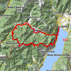
Arco0.3 kmCaneve0.4 kmMogno0.5 kmChiesa di San Giuseppe0.6 kmSan Martino1.7 kmChiesa di San Martino1.8 kmMassone2.1 kmNogaiole3.4 kmPianaura4.7 kmCarobbi8.4 kmPasso Due Sassi13.9 kmSchivazappa (1,030 m)17.1 kmMonte Velo17.8 kmMalga Zanga18.1 kmSanta Barbara19.8 kmDòss dé Póze (856 m)25.2 kmLocanda San Felice27.5 kmValle San Felice27.8 kmLoppio30.8 kmMaso dello speck30.9 kmSantissimo Nome di Maria31.0 kmAquais35.4 kmNago35.8 kmVal del Molin36.1 kmPrealta36.3 kmMarmitta dei Giganti36.4 kmMarmitta dei Giganti Piccola36.5 kmMarmitta dei Giganti Granda36.5 kmFibbie36.6 kmPrato Saiano (90 m)39.7 kmArco41.4 km
- Best season
-
JanFebMarAprMayJunJulAugSepOctNovDec
- Description
-
Signage: 760. Monte Velo Trail - Tour
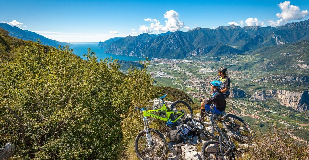
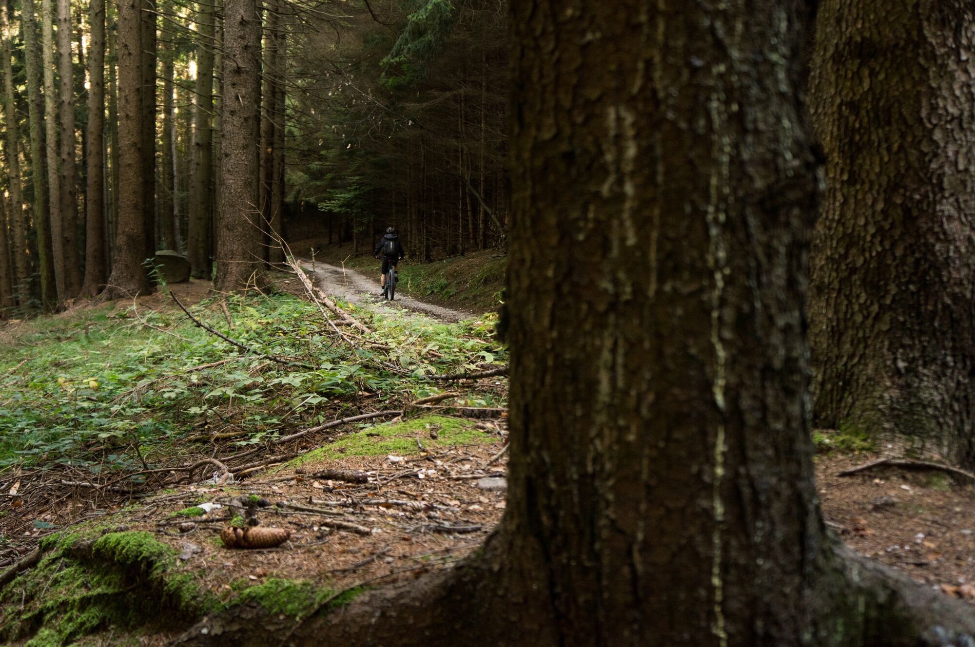
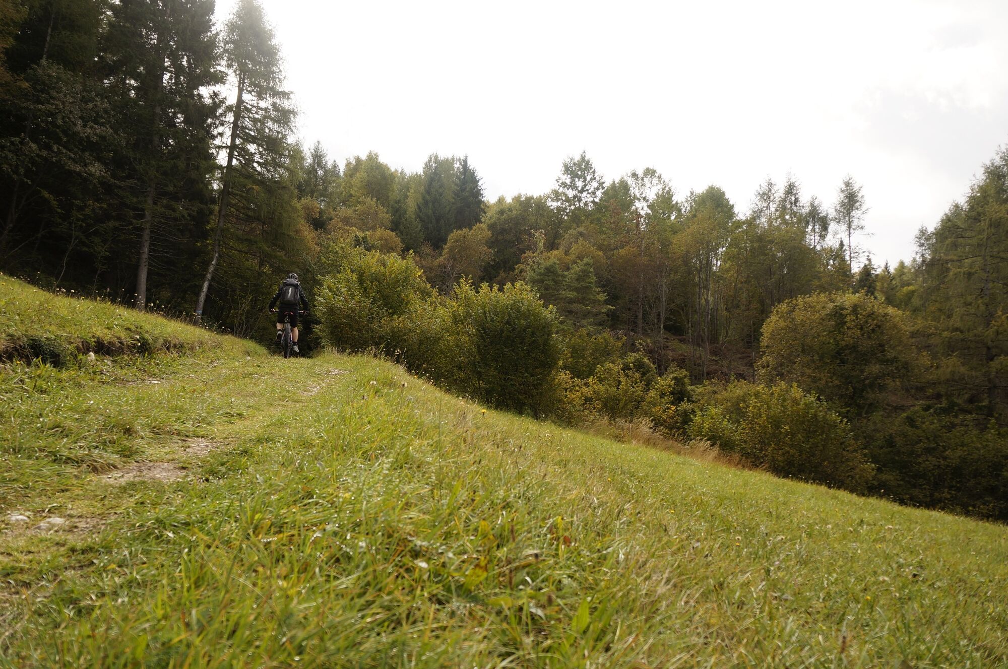
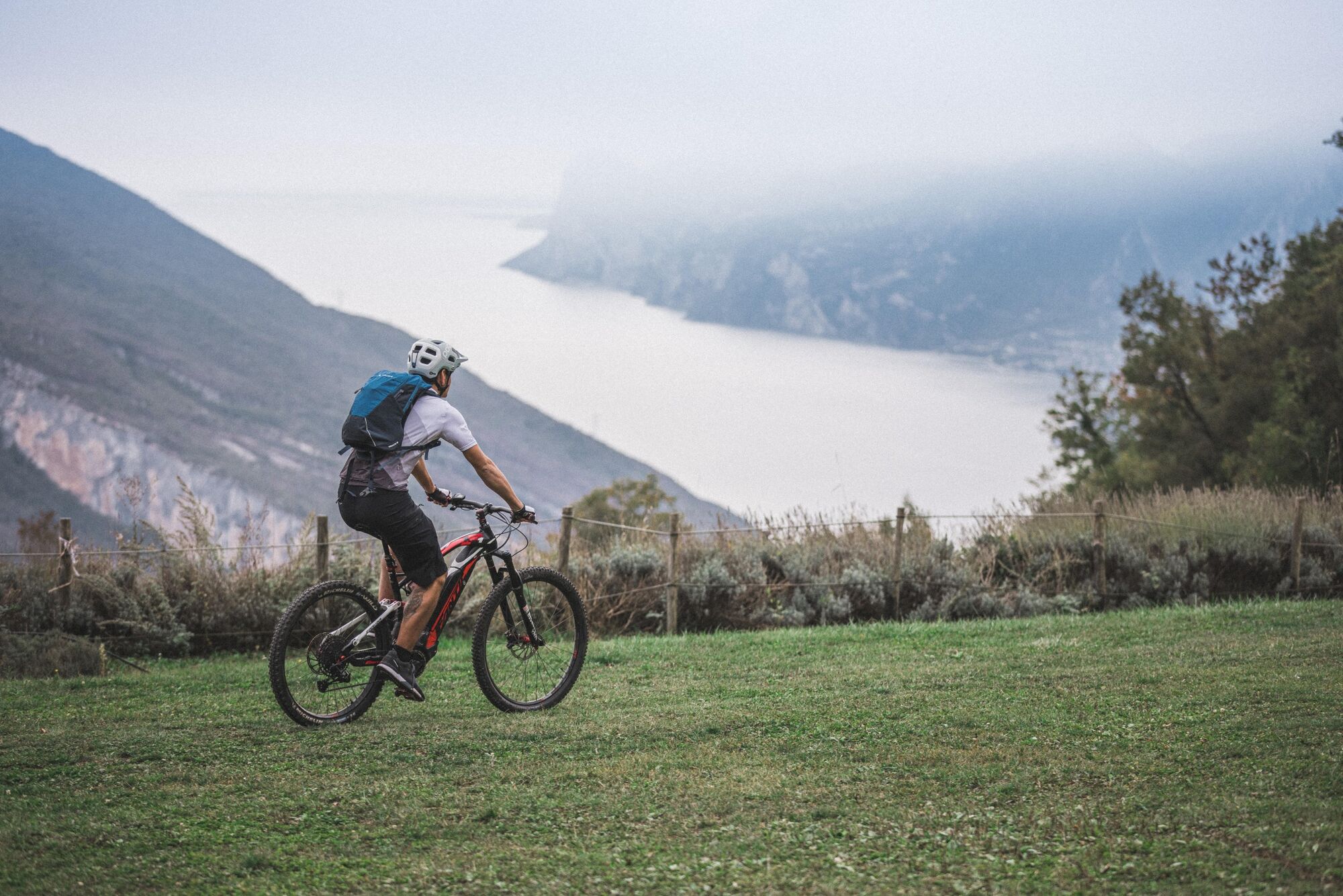
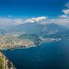
Long climbs, entertaining descents, beautiful views and varying landscapes – and a great variant: all this awaits you on this circuit. From Arco, begin as for tour 759 via San Martino and Carobbi to Passo Due Sassi, then continue via Malga Zanga to Santa Barbara. A variant via the Maso Naranch Trail starts here, but should only be tackled by experts. The tour skirts around the west of Monte Creino, taking a series of beautiful trails to the Maso Naranch farmstead, which is a great place to stop for refreshments. From there you don’t ride straight down to Nago, you cross over instead into Val di Gresta, an agricultural valley famous for its organic farming. The varied descent to Loppio is on partly tarmacked, partly gravel cart tracks. You then take the cycle path to Nago and return easily to the starting point in Arco.
Variants: 760a. Variante Maso Naranch Trail
- Directions
-
The starting point of the tour is in Arco, along the cycling path next to the Caneve car park. Following the cycle path towards the town centre of Arco, we cross the river Sarca and ride northwards along it. We pass by the climbing stadium and cross the river once again. At the roundabout we cross the main road and reach the treelined street on the other side, which leads to the Convent of San Francesco.
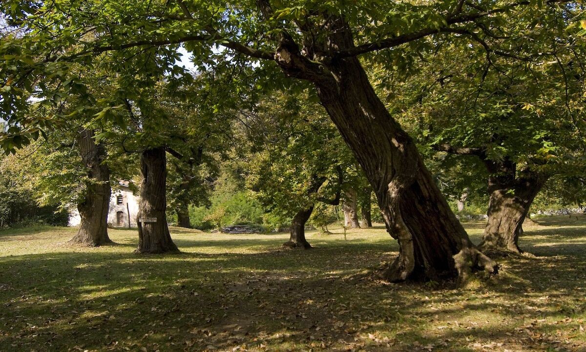
Instead of going all the way to the convent, we turn left in Via di Sai and then right into Via Angelo Maino. At the crossroads near the car park we turn left and ride through the hamlet of San Martino passing by the church located on a high spot. Then we keep right and start our ascent on a rather narrow asphalt road in the direction of the Policromuro crag and the Bosco Caproni. Once we reach Pianaura, we come upon a fork and turn right to continue the climb towards Troiana, where the asphalt gives way to a dirt road, and Carobbi, a nice spot surrounded by beautiful chestnut groves. From here, make sure before heading straight at the junction for Braila to fill up with water at the spring near the house nearby.
Now follow directions again and, after a short downhill stretch through the woods, you start climbing again towards Passo Due Sassi. On a clear day, this stretch of the route which takes you towards Malga Zanga, offers stunning views. Once you have passed the pastures, you need to make one final effort to get to the pass, Passo Santa Barbara. When you come to the stop sign at the pass, where you will also find a water fountain, keep to the right and follow the main road for a hundred metres or so. Follow directions and leave the road, keeping to the left, and you are back on a dirt track again. Now you come to the downhill run with the worst going which leads you down towards Malga Fiavei. When you come to a sharp bend to the right, which is on route 762, keep left and head towards Pannone. At the next junction keep on straight, still going downhill, and you will come to Maso Naranch and its marvellous views over Lake Garda.
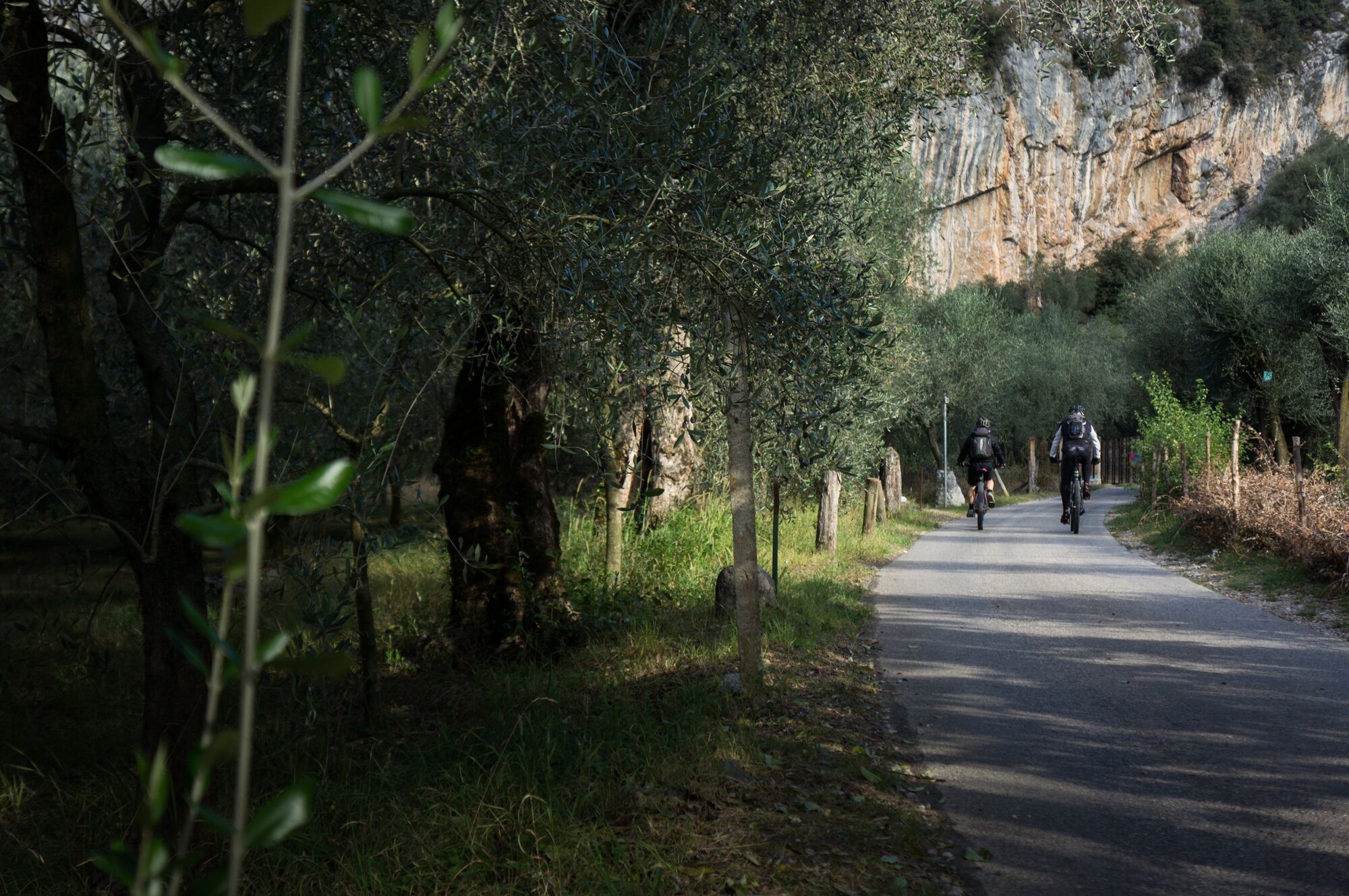
Keep on going in the direction of Pannone and when you get near the shrine of San Rocco, you will find yourself back on a paved road again. Keep on straight until you come to the main road which goes up from Pannone to Passo Santa Barbara. Keep to the right here, heading down towards the nearby village and almost immediately, turn right. An old dirt road brings you back onto the main road near the ruins of Castel Gresta. From here on, continue downhill towards Loppio and the route will take you off and back onto the main road repeatedly until you come to the cycle path which runs along the bottom of the valley. Turn right onto it in the direction of Lake Garda. When you reach the pass at Passo San Giovanni, follow directions for the bike trail towards Nago and ride through the historic centre. As you leave the town, you come to a roundabout where you turn left onto a steep downhill lane which runs through a car park. You are back on a dirt track again and when you come to the snack bar Sesto Grado, cross the main road for Torbole, continuing downhill in the direction of Arco. Once you get to the bottom, in sight of Arco Castle, follow directions and cross the peaceful farmland of Pratosaiano until you get back to where you started from.
- Highest point
- 1,210 m
- Endpoint
-
Passo Santa Barbara
- Height profile
-
 © outdooractive.com
 - Equipment
-
Riding your bike requires specific clothing and equipment, even for relatively short and easy trips. It is always better to be prepared… e.g. for bad weather or a sudden drop in your energy levels. The unexpected things are part of the fun!
Remember to thoroughly evaluate the type of route you plan on doing, the locations you intend to cross and the current season. Has it been raining? Attention: The paths may be slippery and require more caution.
What do I need to bring on my bike tour?
An adequate water supply according to your needs (considering temperature, possibility of refuelling and duration of the route) Plenty of snacks (for example, dried fruit or energy bars) Waterproof / Windproof jacket A spare top / spare socks (Descending in a sweaty garment, will make you cold). Suncream Sunglasses Bike gloves/mitts Map or GPS device Bike lights: best placed on your helmet or handlebars. (It is always best to be prepared) Bike repair kit for punctures and mechanical breakdowns First aid kit Emergency whistleIt is always advised to let someone know where you plan to go and how long you expect to be.
Emergency telephone number 112.
- Safety instructions
-
ITRS - International Trail Rating System
The ITRS is an objective way to assess trails and routes from a biker’s perspective, evaluating four aspects:
Technical Difficulty: riding skill level needed Endurance: combined effect of length, uphill and downhill Wilderness: amount of planning required based on mobile phone reception, rescue options, water supply and wildlife Exposure: consequences of a fallDiscover more about the ITRS system and check the classification of this tour in the photo gallery.
Safety Tips
Always wear your helmet. Plan your ride. You share the trail with other users. Yield right of way to hikers. Let your speed be determined by your experience. Ride slowly on crowded trails, overtake with politeness and respect. Cycle only on authorized and open trails. Avoid muddy trails in order not to damage them further. Respect public and private property. Always be self-sufficient. Do not cycle solo in remote areas.This information is subject to inevitable variations, so none of these indications are absolute. It is not entirely possible to avoid giving inexact or imprecise information, given how quickly environmental and weather conditions can change. For this reason, we decline any responsibility for changes which the user may encounter. In any case, it is advisable to check environment and weather conditions before setting out.
- Tips
-
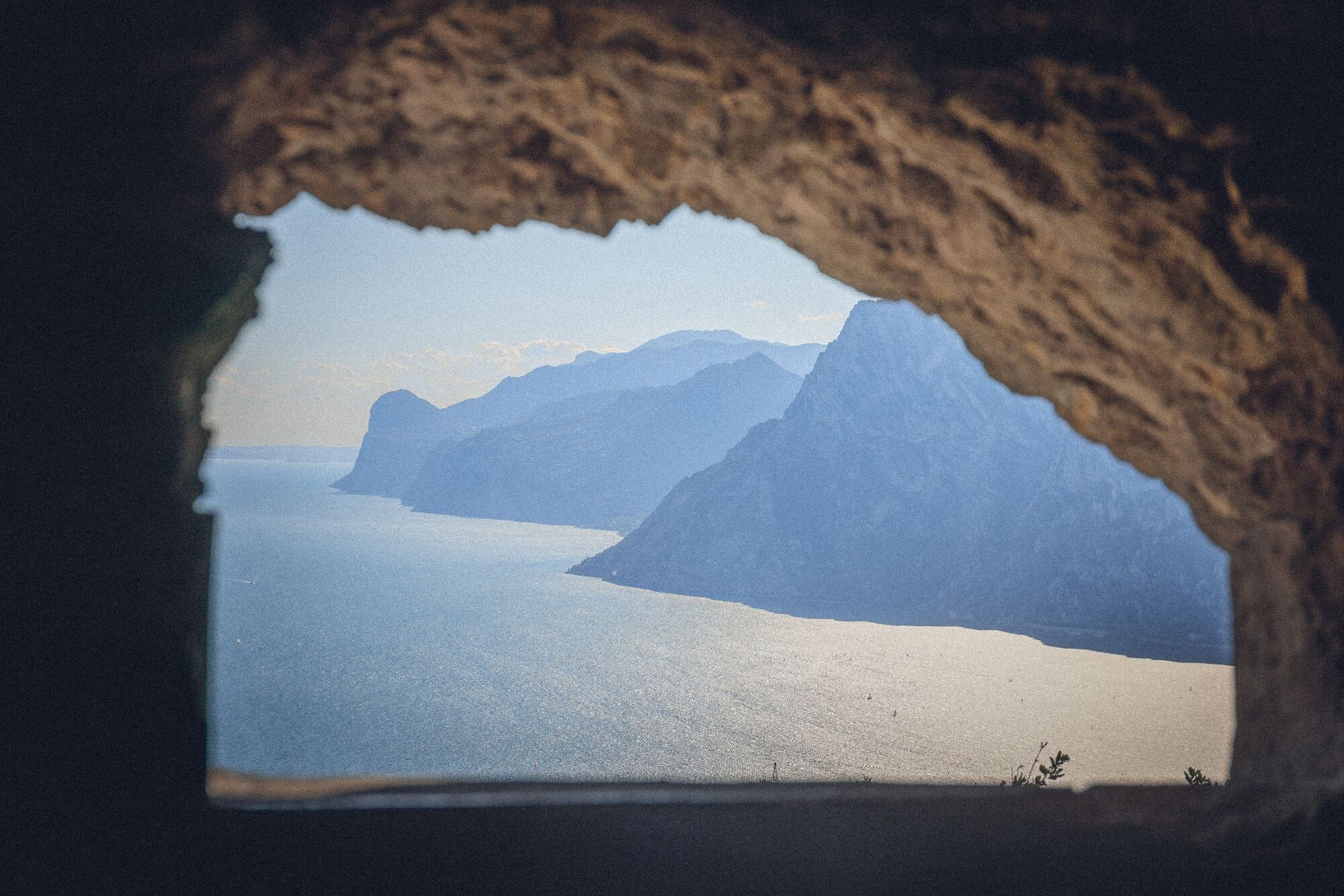
Don’t forget to take a break after Malga Fiavei: near a right-hand bend, a number of short paths branch off to the left through the forest to a series of First World War emplacements. These were built directly above mighty rocky outcrops and reward you with a wondrous view of Lake Garda and the surrounding mountains.
- Additional information
- Directions
- Public transportation
-
The main towns in Garda Trentino - Riva del Garda, Arco, Torbole sul Garda, Nago – are connected by several urban and intercity bus lines which will take you to the starting point of tours or in the immediate surroundings.
You can also get to Riva del Garda and Torbole sul Garda by the public ferry service.
Up-to-date information on timetables and routes.
- Parking
-
Parking in Caneve (5 minutes walk to the town centre).
Paid parking: Foro Boario, near the bridge (Via Caproni Maini) or the post office (Via Monache).


-
-
AuthorThe tour Monte Velo Trail-Tour is used by outdooractive.com provided.


General info
-
Garda Trentino
143
-
Val di Gresta
67