

- Brief description
-
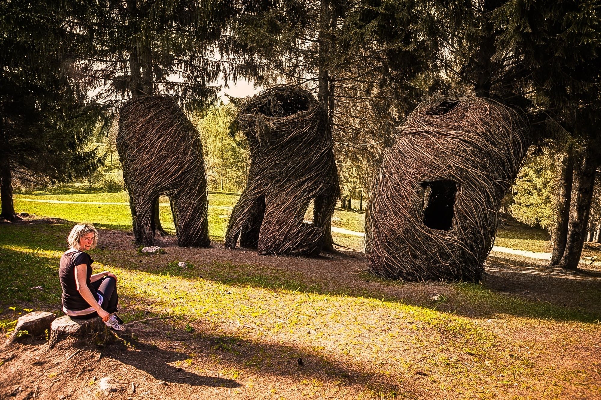
A wealth of magical and magnificent views, through the whole Sella valley, around the numerous works of Arte Sella, a creative and cultural space in which the pieces of the forest remain involved in the life cycle of nature.
The excellent blend of natural and artistic elements makes the route fascinating and unforgettable.
- Difficulty
-
medium
- Rating
-
- Starting point
-
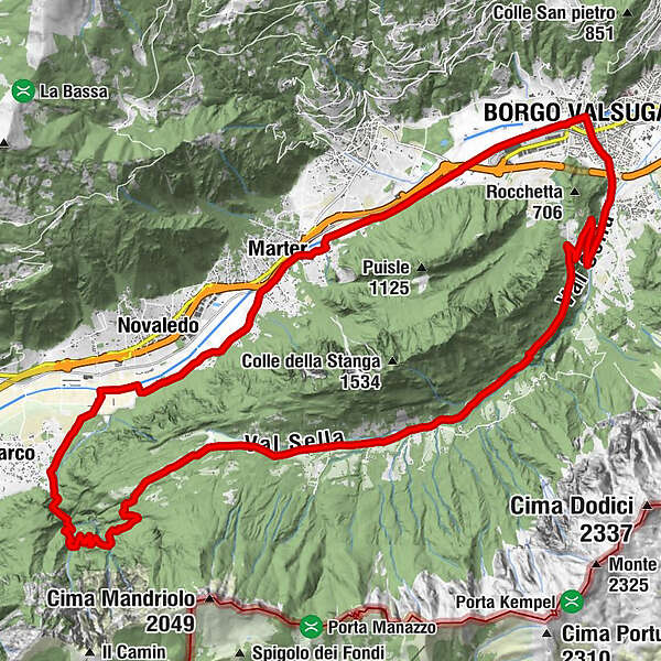
Borgo Valsugana
- Route
-
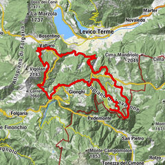
OlleCroce0.0 kmLocanda Legno6.7 kmChiesa di Santa Maria Assunta7.9 kmValle di Sella8.0 kmPalazzo Costa9.1 kmCaserotte9.3 kmRistorante Carlon10.2 kmCarlon10.2 kmDall'Ersilia11.3 kmMontagnola11.7 kmGiandi (565 m)16.7 kmLago Morto19.5 kmCappelletta22.6 kmMarter (423 m)22.8 kmBorgo Valsugana28.4 kmCima 1229.8 kmOlle30.0 kmCroce30.0 km
- Best season
-
JanFebMarAprMayJunJulAugSepOctNovDec
- Description
-
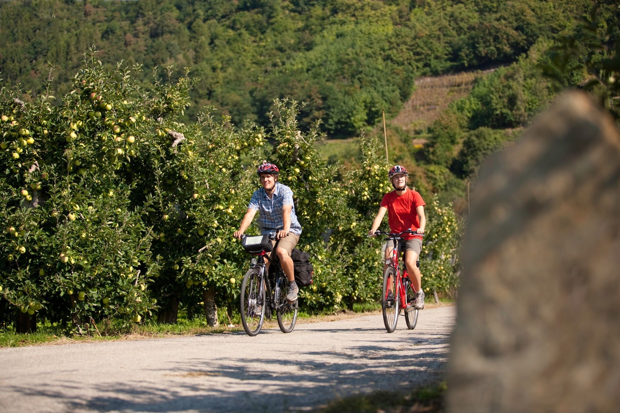
The tour starts from the historic center of Borgo Valsugana, passes through the hamlet of Olle and it continues on paved road up to Val di Sella. After 4 ascending hairpin turns the road becomes flat; pass along the trail Arte Natura Arte Sella and then turn left, following signs for Porta Manazzo. At the following crossroad keep the right then continue on the dirt road. After some curves the road descends until the hamlet Barco; take the cycling path to return at the starting point.
- Highest point
- 1,006 m
- Endpoint
-
Borgo Valsugana
- Height profile
-
 © outdooractive.com
 - Safety instructions
-
Please note that the practicability of the itineraries in a mountain environment is strictly linked to the contingent conditions and is therefore influenced by natural phenomena, environmental changes and weather conditions. For this reason, the information contained in this page may have changed. Before leaving for a tour, make sure the path you will approach is still accessible by contacting the owner of the mountain hut, the alpine guides or the visitor centres of the nature parks, the info offices of the local tourist board.
- Author
-
The tour MTB - Tour of the Val di Sella 2344 is used by outdooractive.com provided.