
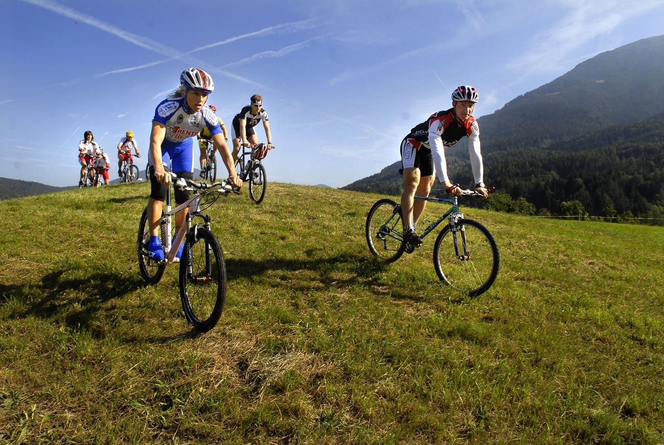
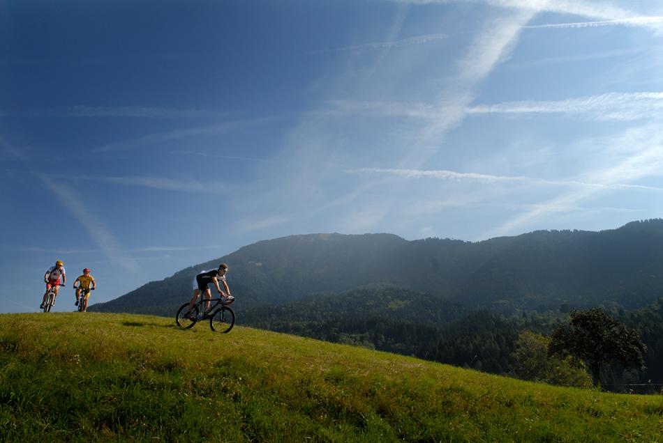
- Brief description
-
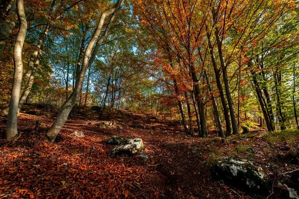
This route runs around Monte Calvo and across nice beech woods near Faida, just a few km from Baselga.
- Difficulty
-
medium
- Rating
-
- Starting point
-
Miola
- Route
-
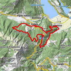
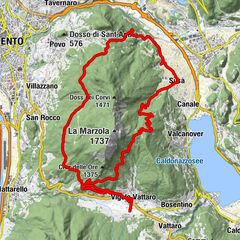
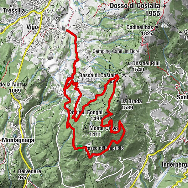
Palustela0.1 kmStabio0.2 kmRauta1.8 kmFaida2.1 kmParco giochi pubblico2.1 kmTofolini2.3 kmLaite del Sam3.1 kmSam3.5 kmDos del Dorigo (1,224 m)4.5 kmCostarefolo6.7 kmDos dei Fonghi (1,498 m)8.8 kmBusa dei Carli9.0 kmBosch negro9.6 kmMarigi de sora10.3 kmPrà de la mora10.4 kmGrave10.8 kmPra del Foo11.0 kmBusa dei Simoni11.3 kmMas dei Beti12.0 kmSora i pradi12.7 kmSode13.2 kmFratesele13.5 kmFaida14.0 kmRauta14.3 kmStabio15.8 kmPalustela16.0 km
- Best season
-
JanFebMarAprMayJunJulAugSepOctNovDec
- Description
-
It includes no technical stretches. Most of the ascent is on secondary tarmac roads; the descent on a well-maintained dirt road.
- Directions
-
From Miola di Piné, head for the hamlet of Faida. Before the church, turn left onto a secondary tarmac road heading for the quartz quarries. At the crossroads, proceed in the direction of Martin e Costa Refol. Continue towards Cros de Mala up a tarmac road which becomes dirt after a few hairpin bends. Leave the dirt road at a place near a hairpin bend in order to follow a track that branches off from it. After 20 m, the track joins another dirt road that runs along the northern slope of the mountain. After a few hundred metres, the road begins to descend. Follow it to get back first to Faida, then to Miola di Piné.
- Highest point
- 1,509 m
- Endpoint
-
Miola
- Height profile
-
 © outdooractive.com
 - Equipment
-
What do I need to bring on my bike tour?
An adequate water supply according to your needs (considering temperature, possibility of refuelling and duration of the route) Plenty of snacks (for example, dried fruit or energy bars) Waterproof / Windproof jacket. A spare top / spare socks. (Descending in a sweaty garment, will make you cold) Suncream Sunglasses Bike gloves/mitts Map or GPS device Bike repair kit for punctures and mechanical breakdowns First aid kitIt is always advised to let someone know where you plan to go and how long you expect to be.
Emergency telephone number 112
- Safety instructions
-
The roads, trails, and ski runs indicated are often used in the opposite direction as well, so keep an eye out for hikers, other cyclists, and vehicles. On trails and other narrow roadways, pay close attention to hikers and slow down or stop as seems appropriate under the circumstances. Always were a helmet and never underestimate the difficulty of the trails. Take away your eventually rubbish Obey all bicycle speed regulations and recommendations, and ride within your limits.
Please note that the practicability of the itineraries in a mountain environment is strictly linked to the contingent conditions and is therefore influenced by natural phenomena, environmental changes and weather conditions. For this reason, the information contained in this page may have changed. Before leaving for a tour, make sure the path you will approach is still accessible by contacting the owner of the mountain hut, the alpine guides or the visitor centres of the nature parks, the info offices of the local tourist board.
- Tips
-
For the more experienced, it is possible to reach the peak of Monte Brada with a diversion: the Cros de Mala. A panoramic balcony over the Valle dei Mocheni and its Lagorai peaks, equipped with tables and benches to fully enjoy the view.
- Additional information
-
Trento Tourist Office - Tel. +39 0461 216000 - info@trento.info - www.trento.info
- Directions
-
By car: From either south or north, from the A22 Brennero motorway (from the south exit Trento south - north exit Trento north) or from the main Brennero road n. 12; continue on the Valsugana main road SS 47 towards Pergine Valsugana-Padova; when you reach the junction with the Altopiano di Piné road, turn off into this secondary road SP 83 known as the “di Piné” road. Search for route.
- Public transportation
-
Baselga di Piné - Miola can be reached by public transport lines B 403 and B 402.
- Parking
-
Free parking is available at the Ice Rink Piné Ice Stadium.
- Author
-
The tour Monte Calvo is used by outdooractive.com provided.