- Difficulty
-
difficultDifficulty level B
- Rating
-
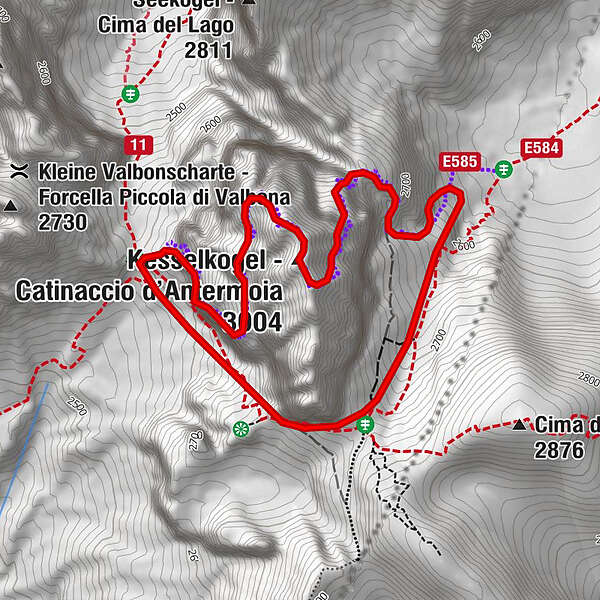
- Route
-
Kesselkogel (3,004 m)1.0 km
- Best season
-
JanFebMarAprMayJunJulAugSepOctNovDec
- Description
-
From the Molignon Pass/Grasleitenpass, the road up to the left leads to the Rosengarten Antermoia/Kesselkogel.
- Directions
-
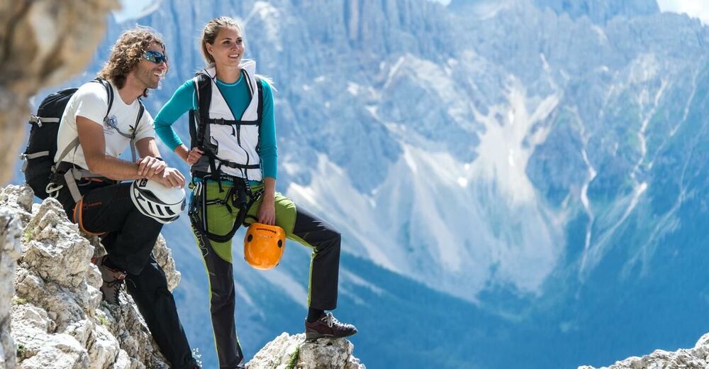
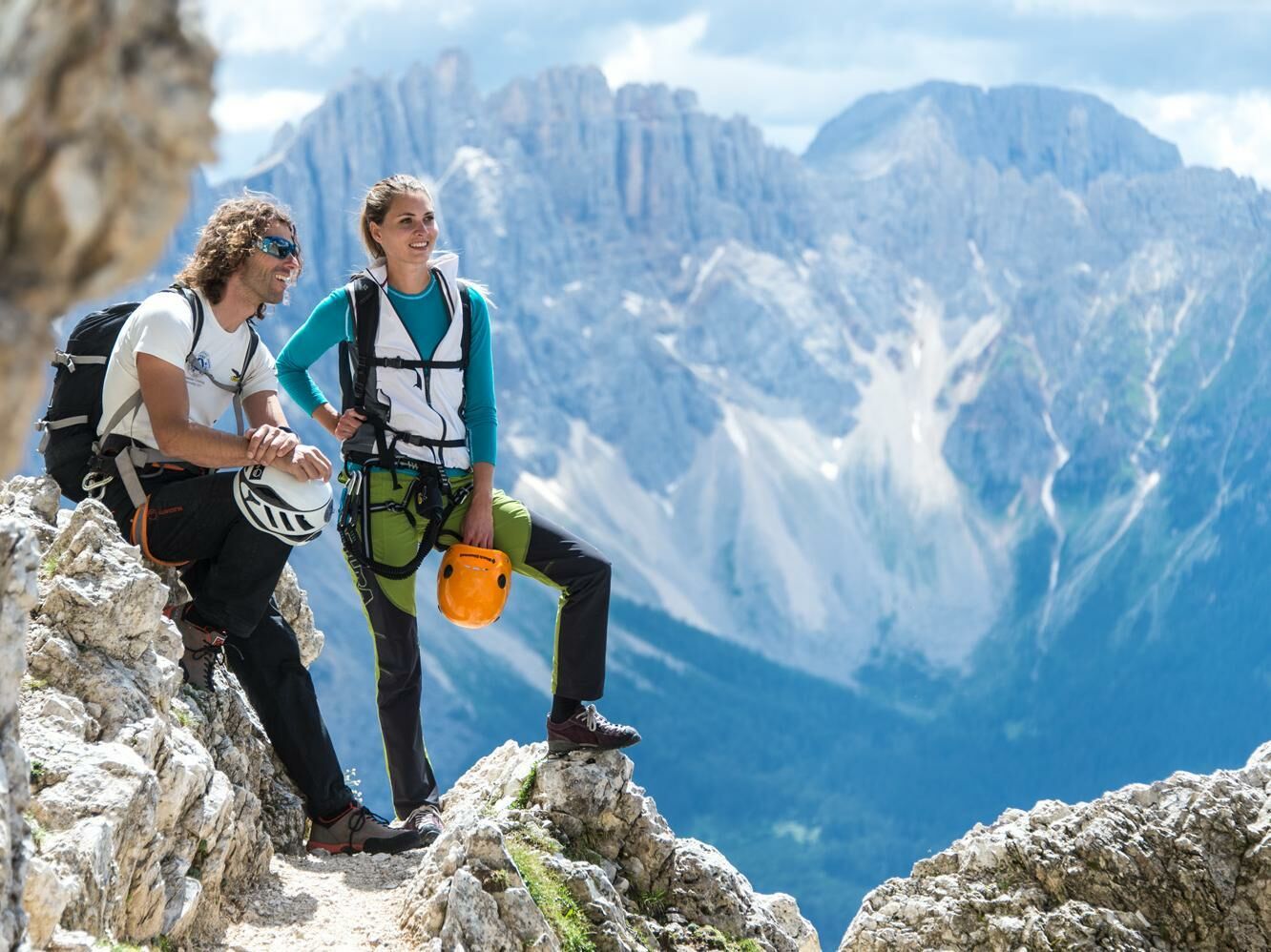
The Ferrata starts up through a wide chimney which leads you to the wires and then down a metal ladder to a sandy scree slope. This spot is extremely exposed and requires an exceptional head for heights. Then head along a series of rocky shelves and up to the saddle, over a craggy strip of rock and the fairly exposed northern ridge, and up to the summit. The route down follows the ascent route.
As an alternative, you can make your descent down the secured trail on the eastern side along the iron ropes to the rocky strip that cuts through the eastern face of the Catinaccio d’Antermoia. The road leads on downhill and down two iron ladders to a saddle and over scree land to the Valle di Antermoia valley basin. Then head over the Antermoia Pass and back to the Passo Molignon.
- Highest point
- 2,988 m
- Height profile
-
 © outdooractive.com
- Author
-
The tour Via Ferrata Kesselkogel is used by outdooractive.com provided.