- Brief description
-
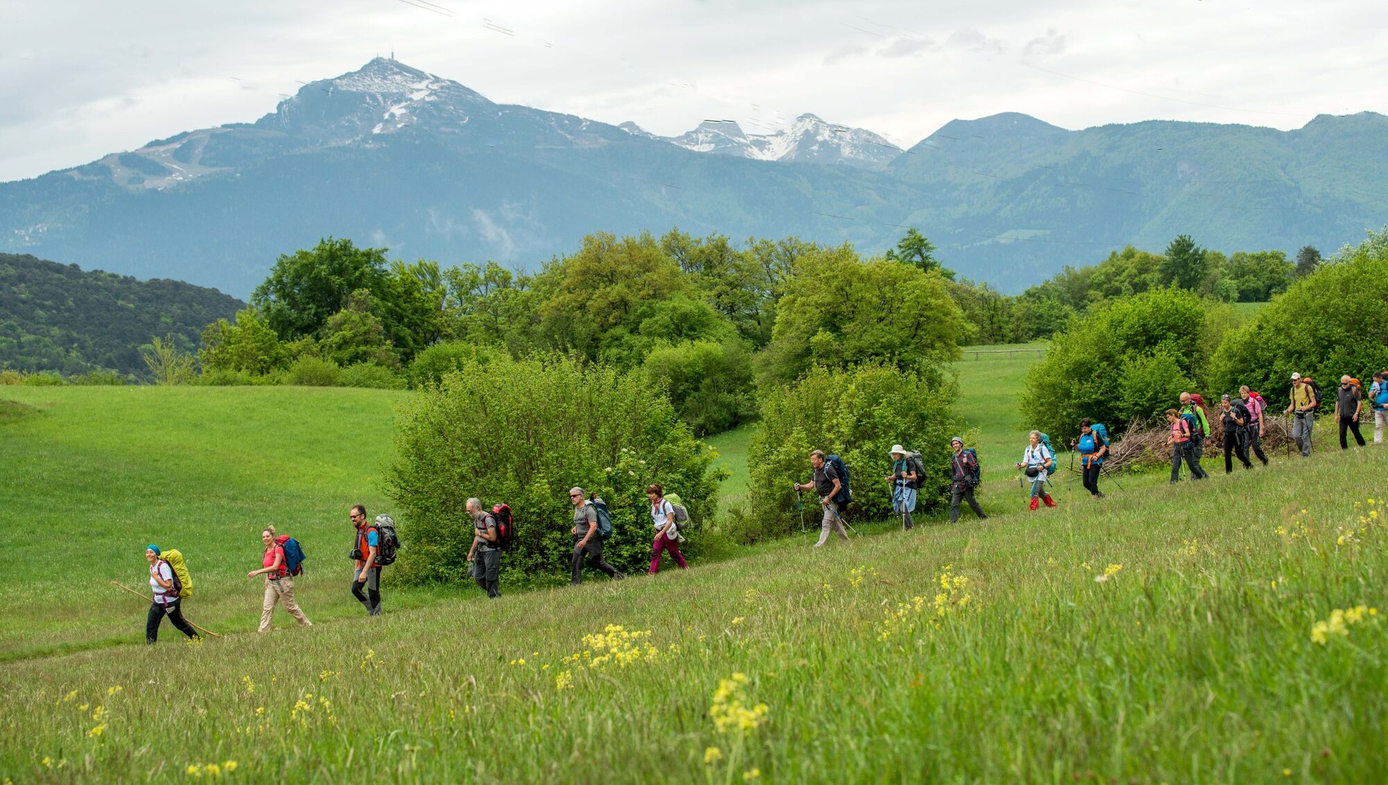
The HIGH itinerary of the San Vili path passes through mountain areas, with a greater difference in height than the LOW itinerary.
- Difficulty
-
difficult
- Rating
-
- Starting point
-
Madonna di Campiglio
- Route
-
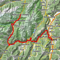
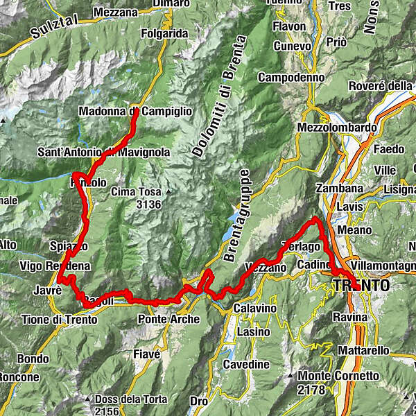
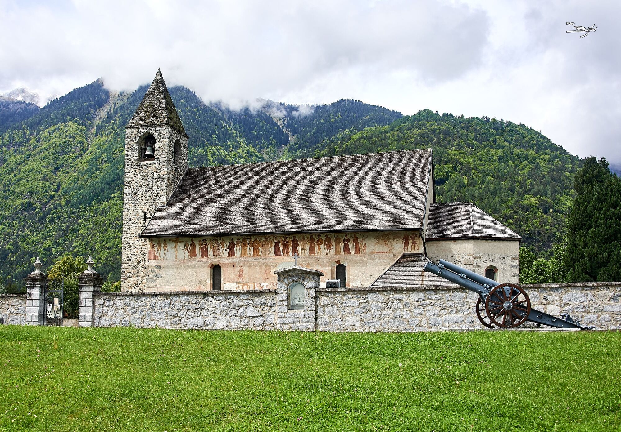
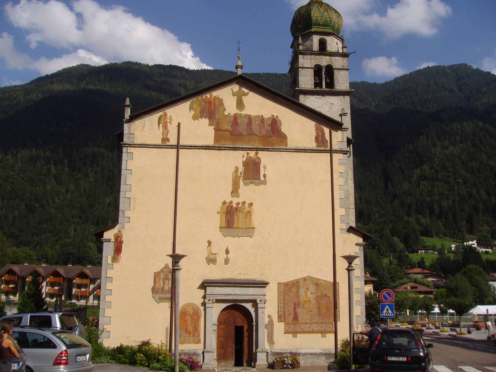
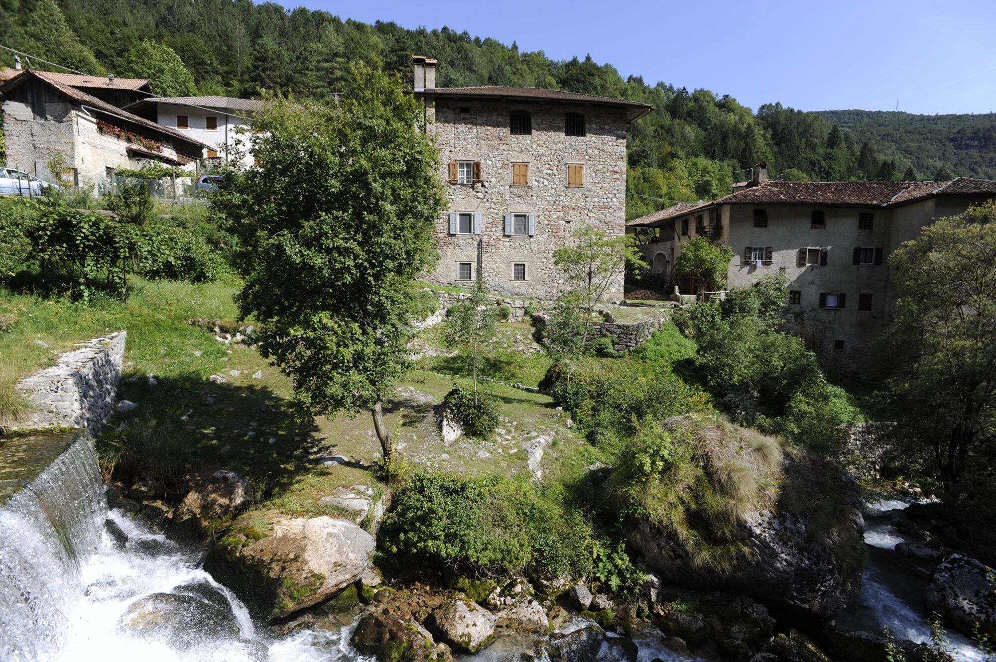
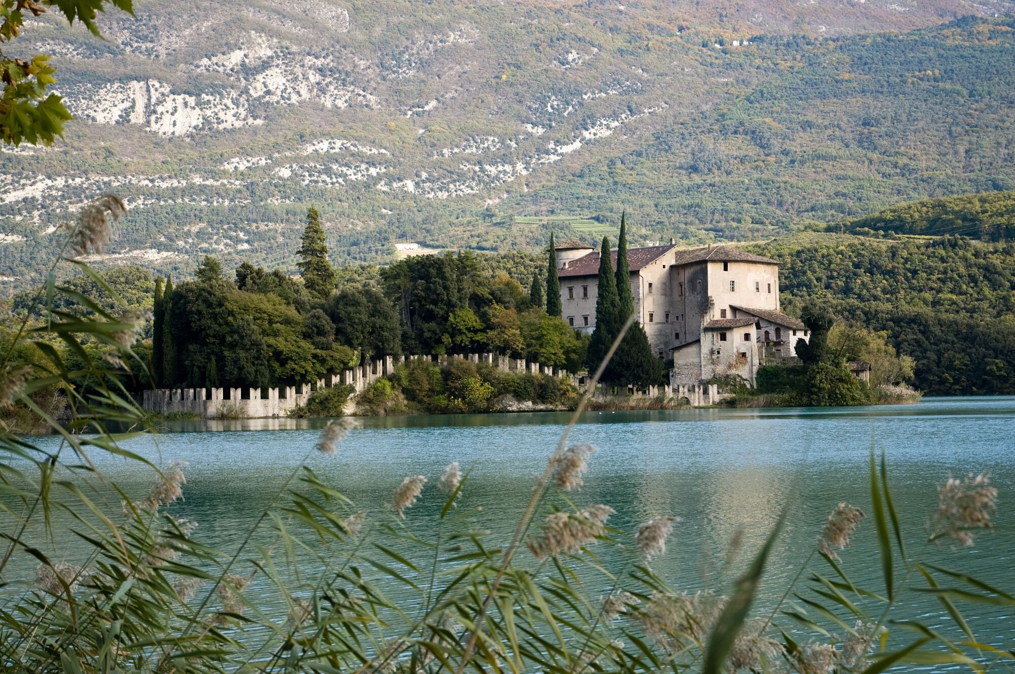
Chiesa di Santa Maria NuovaChiesa di Santa Maria AnticaSankt Maria im Pein0.5 kmPalù0.7 kmColarin1.1 kmSant'Antonio di Mavignola7.4 kmBar Tulot10.2 kmChiesa di San Vigilio11.8 kmPinzolo11.8 kmCarisolo12.2 kmChiesa di San Nicolò12.5 kmSantuario della Beata Vergine del Potere14.5 kmAntica Vetreria14.8 kmAgritur Maso Pan18.1 kmParco Aldo Salvadei19.9 kmCaderzone Terme20.0 kmBocenago21.7 kmCasa Ferrazza21.8 kmFisto25.1 kmSpiazzo25.4 kmBorzago25.6 kmChes26.1 kmIsclabernù27.5 kmVigo Rendena28.0 kmCasarole30.6 kmPasso Daone "Pra da l'àsan"32.2 kmAlbergo - Ristorante "Capanna Durmont"32.3 kmPra Leù32.4 kmChiesa parrocchiale di San Bartolomeo34.6 kmLarzana (1,004 m)34.7 kmChiesa di Santo Stefano36.8 kmCerana36.9 kmBaltram39.2 kmBolciana39.3 kmRagoli39.3 kmVigo39.4 kmChiesa di San Giacomo Maggiore43.0 kmIrone43.3 kmIncassero46.0 kmRio Bianco48.4 kmChiesa di San Vigilio49.3 kmL'osteria49.3 kmStenico49.4 kmLa Cros49.8 kmCasa Baschieri49.9 kmSeo51.6 kmChiesa dei Santi Pietro e Paolo52.5 kmSclemo52.8 kmAsterix52.8 kmTavodo54.6 kmAndogno55.1 kmMoline59.9 kmSorgente Masere64.0 kmRanzo (746 m)65.2 kmchiesa di San Nicolò65.2 kmMargone67.8 kmLa guardiola70.0 kmCiago73.1 kmOsteria Cà dei Giosi74.8 kmCovelo74.9 kmMaso Ariol76.1 kmMonte Terlago77.3 kmAi tre faggi80.5 kmPoza della Casara (710 m)85.2 kmSpazadomeneghe85.6 kmStol Baita Laura86.2 kmSoprasasso (807 m)86.6 kmPoza dei Pini (690 m)87.8 kmVela91.3 kmchiesa dei Santi Cosma e Damiano91.3 kmCristo Re92.7 kmPiedicastello93.2 kmchiesa di Sant'Apollinare93.3 kmchiesa di San Francesco Saverio94.1 kmCentro storico94.2 kmÉglise de la Sainte Annonciation94.3 kmTrient (194 m)94.4 km
- Best season
-
JanFebMarAprMayJunJulAugSepOctNovDec
- Description
-
Length: 110 km. Walking: about 40 hours.
The path can be completed walking 5 days: we suggest you the first day to start from Madonna diCampiglio and to reach Pra de la Casa area (about 2 hours and a half), following an alternative pathinstead of the traditional San Vili path.The path, difficult for the hours of walking and the difference in height, can be “broken” andadapted to the needs of each walker, following two different ways in the mountains: from VigoRendena to Ragoli passing through Larzana and from Ranzo to Ciago passing through Margone.
- Directions
-
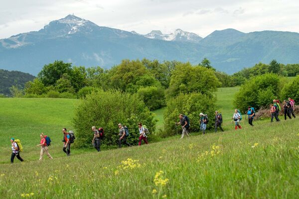
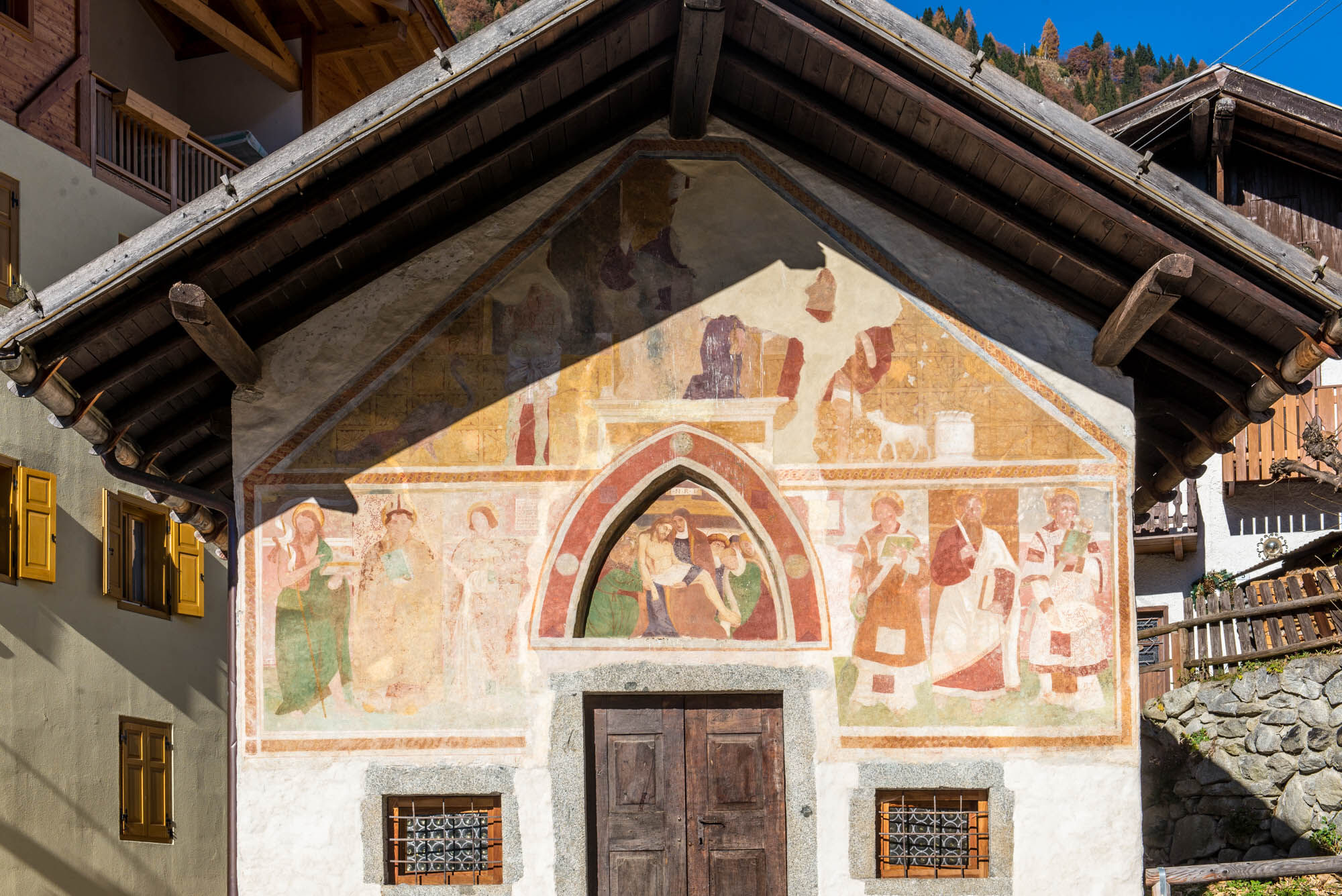
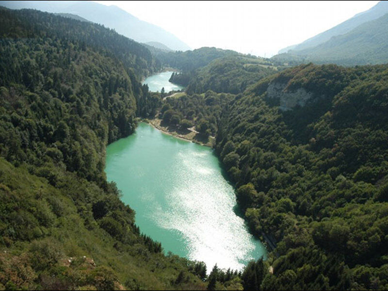
The San Vili path, named after San Vigilio bishop and patron of Trento, who according to thelegend followed the path during his Evangelism in the fourth century A.D.The path runs alongside the amazing Brenta Dolomites, meets wonderful natural landscapes wherewater speaks to rocks, goes through fascinating villages with ancient traditions and tasty typical products.
HIGH PATH, 5 DAYS
Day 1: Madonna di Campiglio - S. Antonio di Mavignola. Length: 7 km. Time: 2 hours. Differencein height: - 500 m.
Day 2: S. Antonio di Mavignola - Passo Daone. Length: 26 km. Time: 8 hours. Difference inheight: + 1000 m.
Day 3: Passo Daone - Andogno. Length: 28 km. Time 7 hours. Difference in height: + 700 m.
Day 4: Andogno - Monte Terlago-Vallene. Length: 28 km. Time: 8 hours. Difference in height: +1100 m.
Day 5: Monte Terlago-Vallene - Trento. Length: 18 km. Time: 6 hours. Difference in height: + 550m.
- Highest point
- 1,513 m
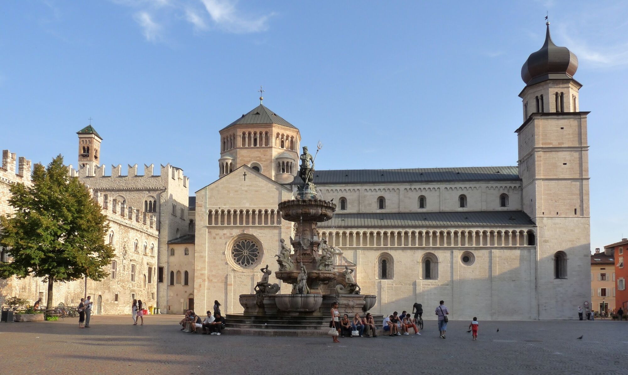
- Endpoint
-
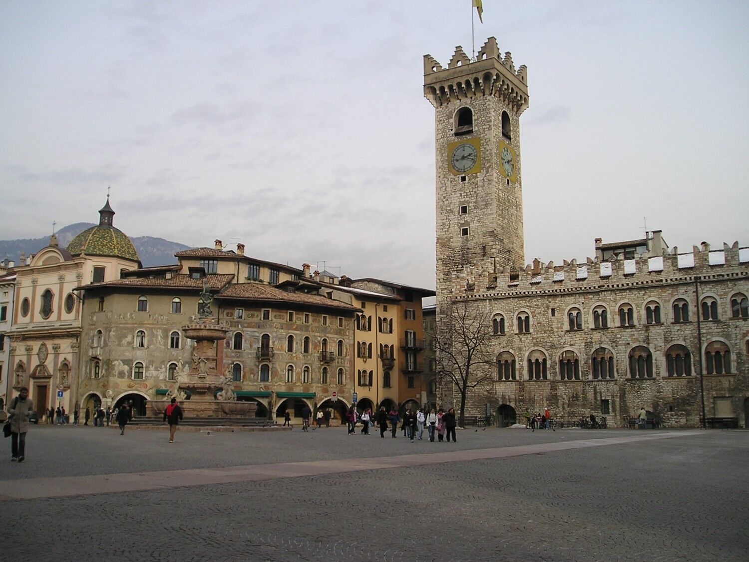
Trento - Cattedrale di S. Vigilio
- Height profile
-
 © outdooractive.com
 - Equipment
-
Trekking equipment and a change: rucksack, shoes suitable for walking, windproof jacket, trousers, socks, t-shirts, underwear, cap, k-way, flashlight, water bottle, toothbrush and toothpaste, first-aidkit, pen and notebook.
- Safety instructions
-
Contact accredited accommodation before starting the path to check availability for the overnightstay.
Please note that the practicability of the itineraries in a mountain environment is strictly linked to the contingent conditions and is therefore influenced by natural phenomena, environmental changes and weather conditions. For this reason, the information contained in this page may have changed. Before leaving for a tour, make sure the path you will approach is still accessible by contacting the owner of the mountain hut, the alpine guides or the visitor centres of the nature parks, the info offices of the local tourist board.
- Tips
-
Remember to do your Credential, the document of the Pilgrim during the Path.
It is important to take with you only useful, necessary, essential things: each thing has a weight. The ideal rucksack weighs between 5 and 7 kg, a little more in winter.


-
-
AuthorThe tour San Vili Path – High itinerary is used by outdooractive.com provided.