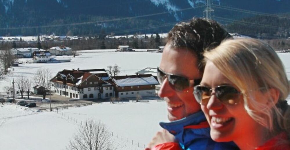
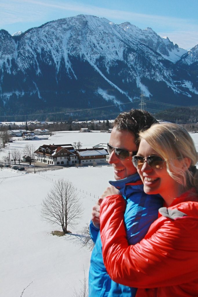
© Naturparkregion Reutte - Ramona Sprenger
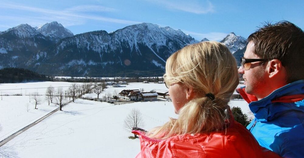
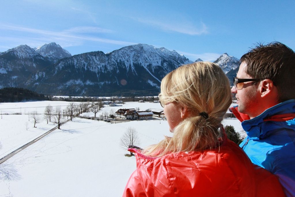
© Naturparkregion Reutte - Ramona Sprenger
- Brief description
-
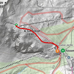
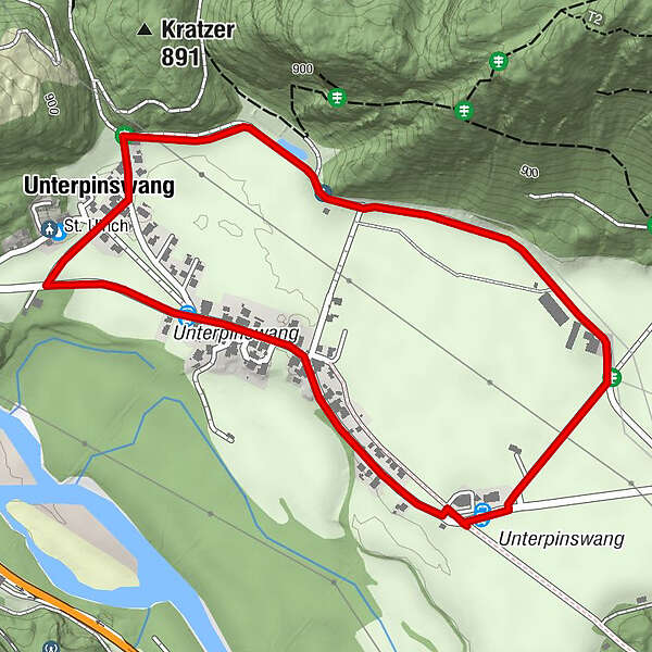
Schöne, geschichtsträchtige Runde in Pinswang.
- Difficulty
-
easy
- Rating
-
- Route
-
Unterpinswang1.3 km
- Best season
-
AugSepOctNovDecJanFebMarAprMayJunJul
- Highest point
- 823 m
- Endpoint
-
Gutshof zum Schluxen, Pinswang
- Height profile
-

-

-
AuthorThe tour Fürstenweg is used by outdooractive.com provided.
GPS Downloads


General info
Refreshment stop
Other tours in the regions
-
Allgäu
165
-
Naturparkregion Reutte
140
-
Pinswang
79