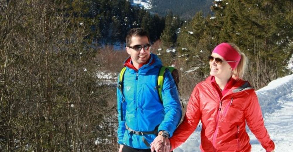
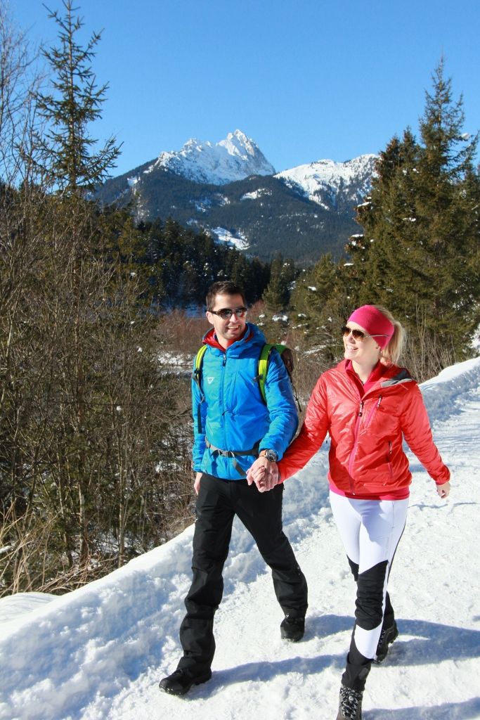
© Naturparkregion Reutte - Ramona Sprenger

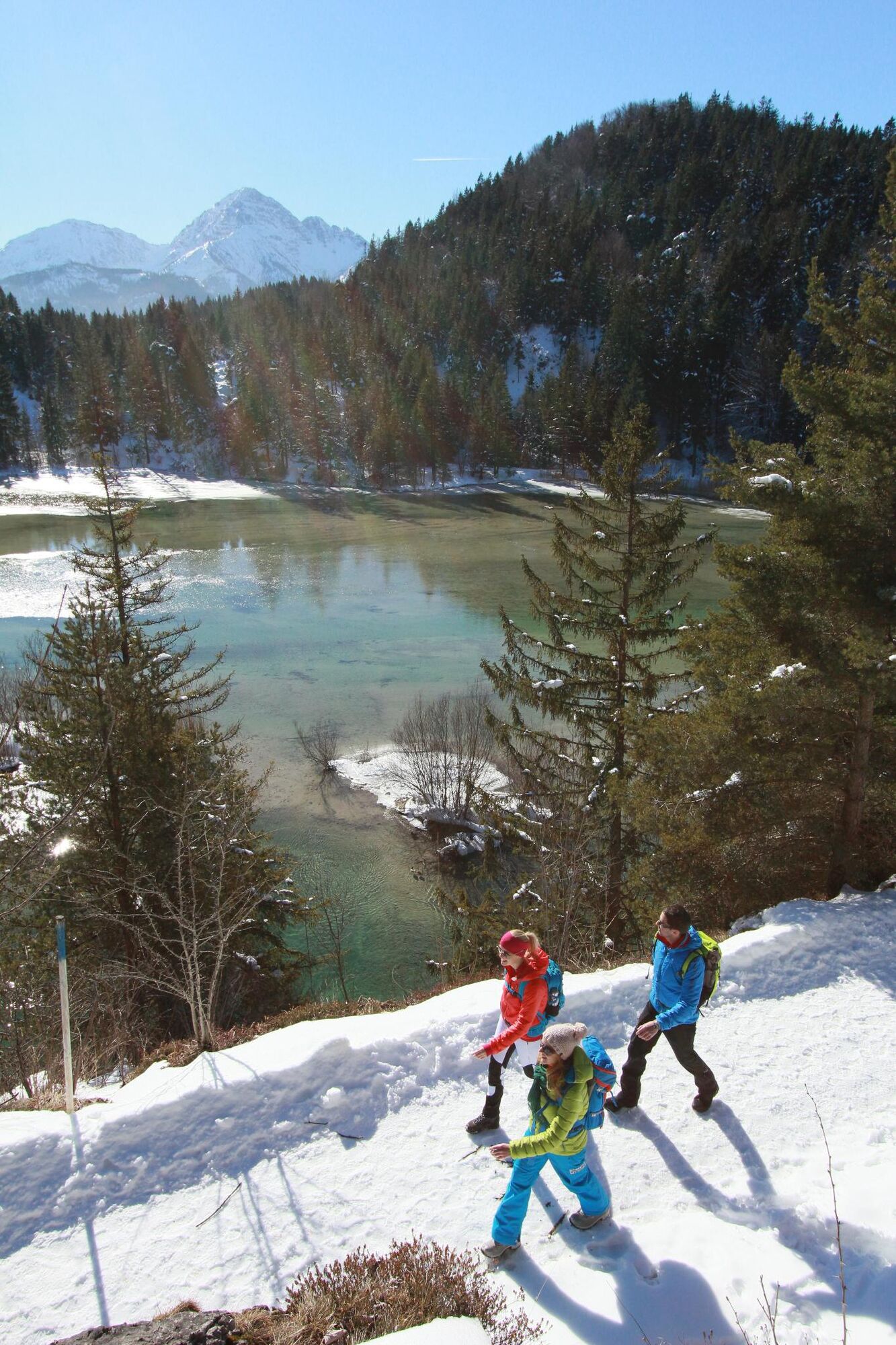
© Naturparkregion Reutte - Ramona Sprenger
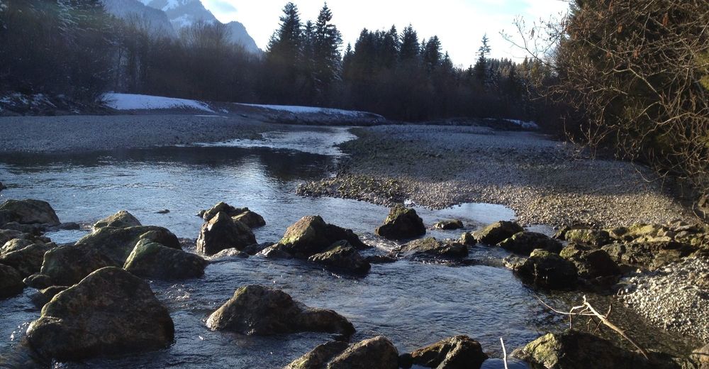
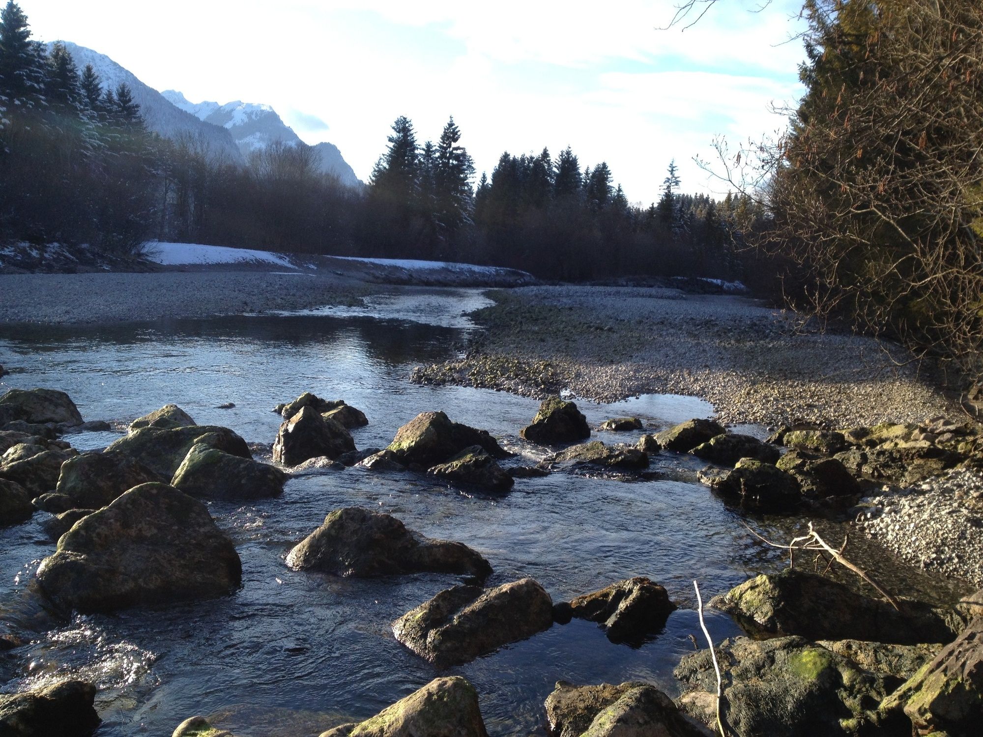
© Naturparkregion Reutte - Stefanie Pauli
- Brief description
-
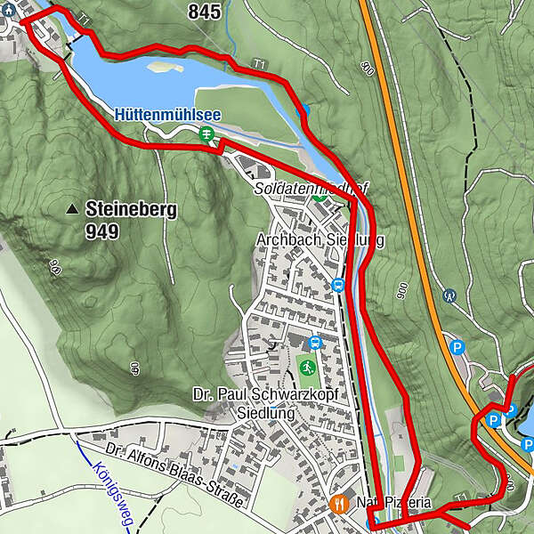
Aussichtsreiche, gemütliche Tour.
- Difficulty
-
easy
- Rating
-
- Route
-
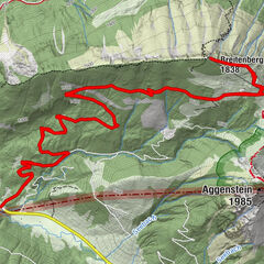
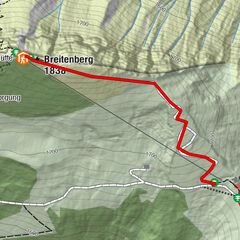
Mühl0.2 kmPflach (840 m)2.0 kmHüttkapelle2.0 kmHüttenbichl2.1 kmArchbach Siedlung3.1 kmMühl3.7 km
- Best season
-
AugSepOctNovDecJanFebMarAprMayJunJul
- Highest point
- 921 m
- Endpoint
-
Parkplatz am Urisee oder Mühl
- Height profile
-

-
-
AuthorThe tour Panoramaweg Archbach-Mühl is used by outdooractive.com provided.
GPS Downloads


General info
A lot of view
Other tours in the regions
-
Allgäu
167
-
Naturparkregion Reutte
140
-
Breitenwang
66