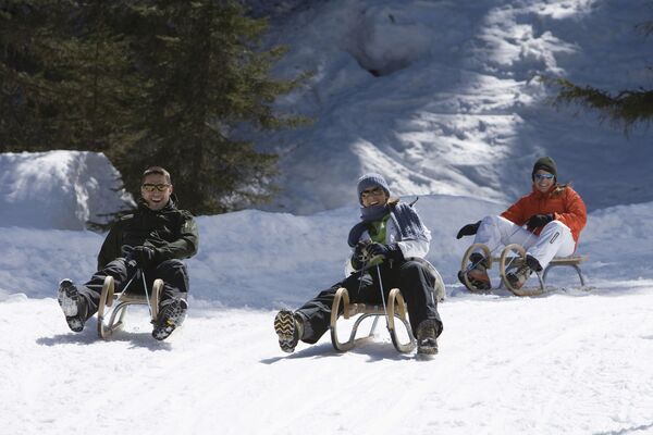

- Brief description
-
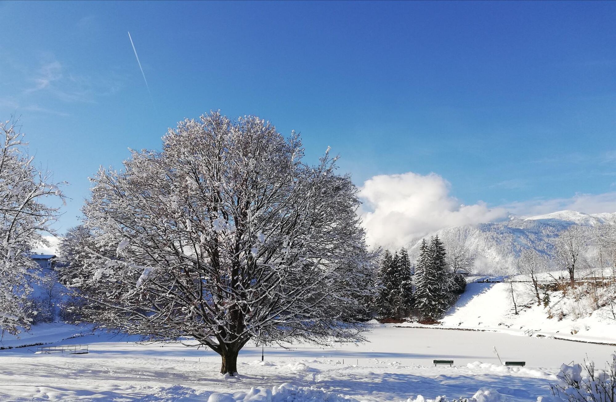
An ideal opportunity to discover your holiday resort; easy hike offering many impressions.
- Difficulty
-
easy
- Rating
-
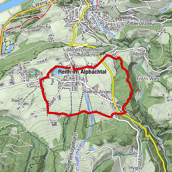
- Starting point
-
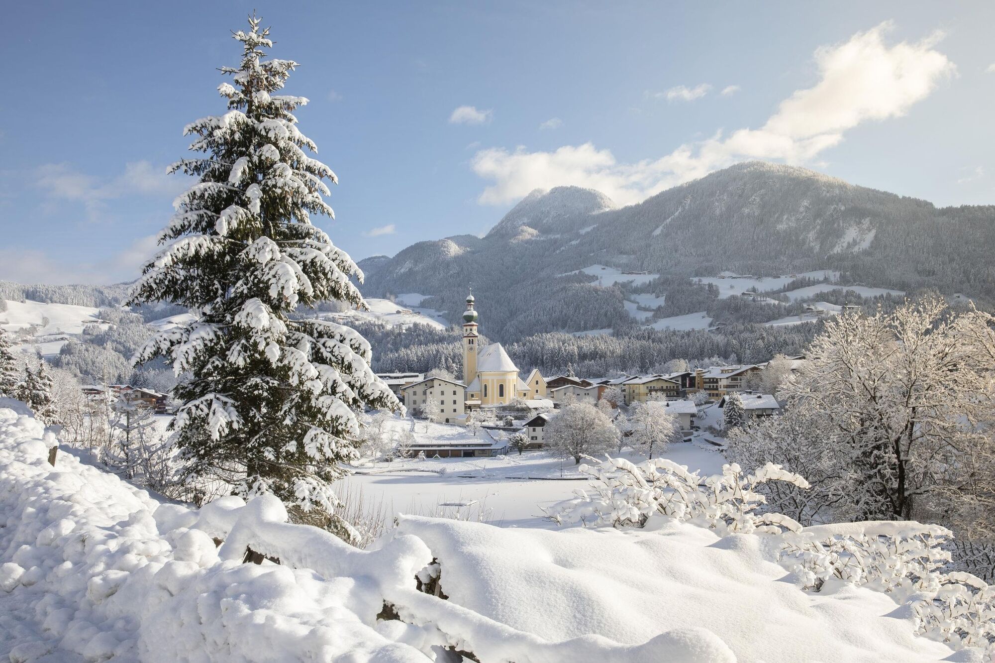
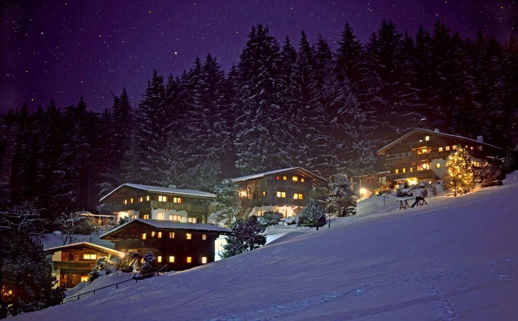
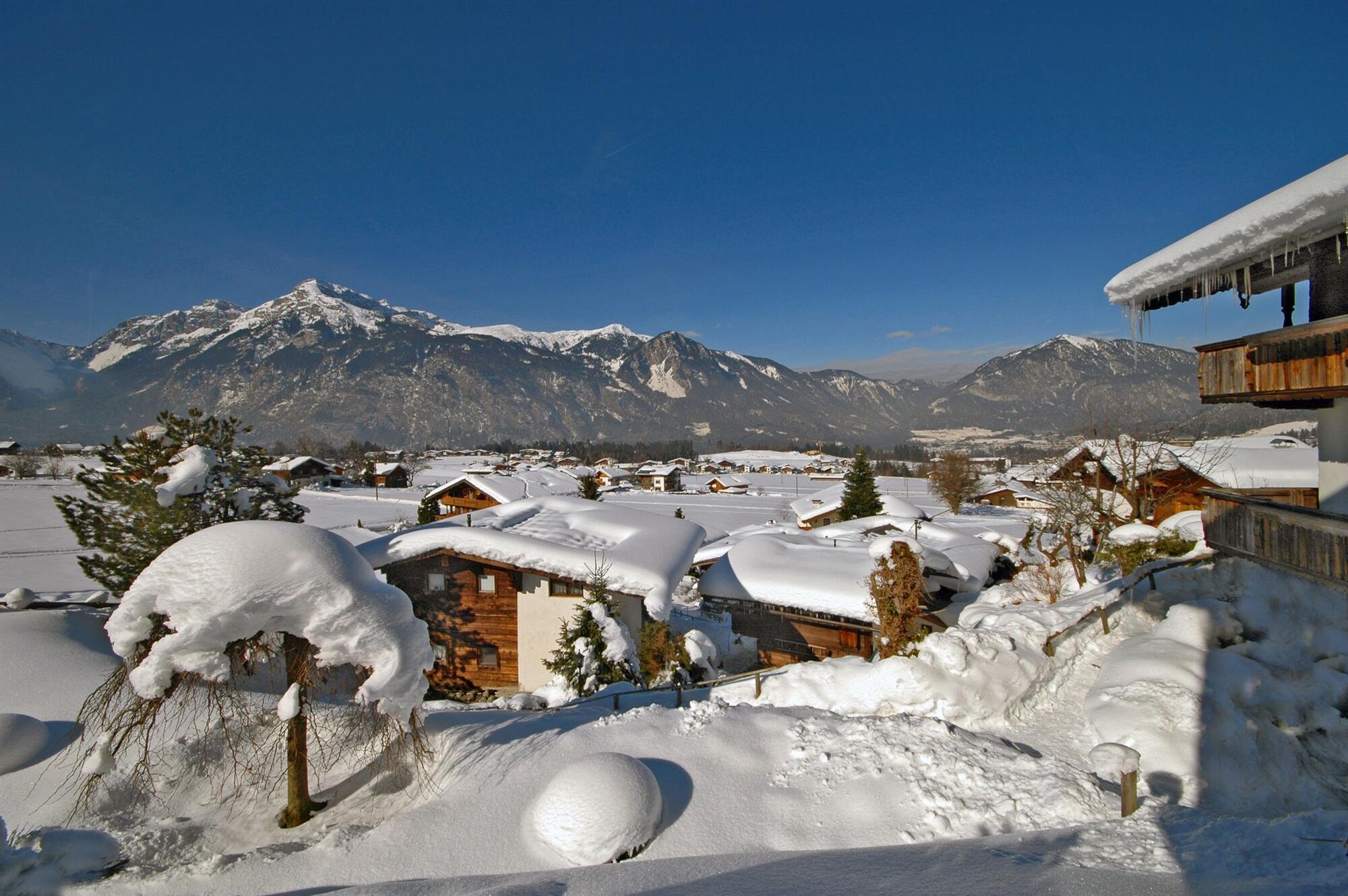
Reith im Alpbachtal
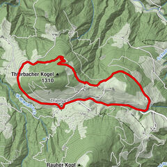
- Route
-
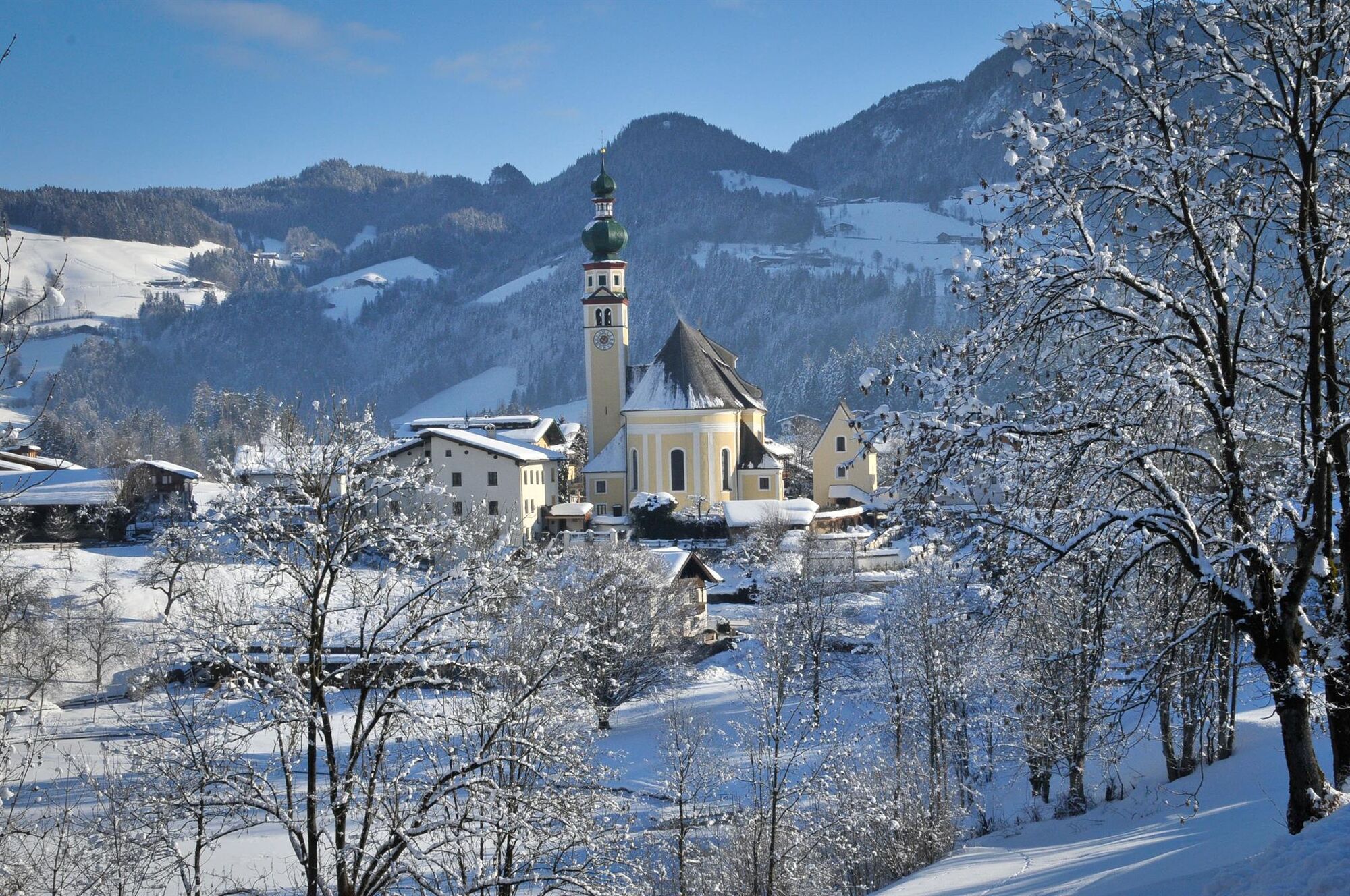
Neudorf (652 m)0.6 kmBischofsbrunn3.4 kmDekanatspfarrkirche St. Petrus4.0 kmReith im Alpbachtal (638 m)4.0 km
- Best season
-
AugSepOctNovDecJanFebMarAprMayJunJul
- Description
-
Leaving the village centre, turn left after the church and follow the lakeside path up to the road. Turn right and upon reaching the Alpbachtaler Kinderpark (only open in summer) turn left into the hamlet Ried. Walk on to the Reither Almen. Take the path along the edge of the woods up to the Brandachhof (please be careful when crossing the piste!). Turn left and return to the village centre.
- Directions
-
Leaving the village centre, turn left after the church and follow the lakeside path up to the road. Turn right and upon reaching the Alpbachtaler Kinderpark (only open in summer) turn left into the hamlet Ried. Walk on to the Reither Almen. Take the path along the edge of the woods up to the Brandachhof (please be careful when crossing the piste!). Turn left and return to the village centre.
- Highest point
- 700 m
- Endpoint
-
Reith im Alpbachtal
- Height profile
-

- Equipment
-
sturdy footwear, winter clothing
- Tips
-
You can also shorten the tour at the Brandachhof and branch off to the left and walk back to the village centre
- Directions
-
A12, motorway exit Kramsach/Brixlegg, towards Brixlegg, Alpbachtal, to Reith im Alpbachtal
- Public transportation
- Parking
-
Reitherkogelbahn bottom station

- Author
-
The tour Reitherboden Loop Trail is used by outdooractive.com provided.