- Brief description
-
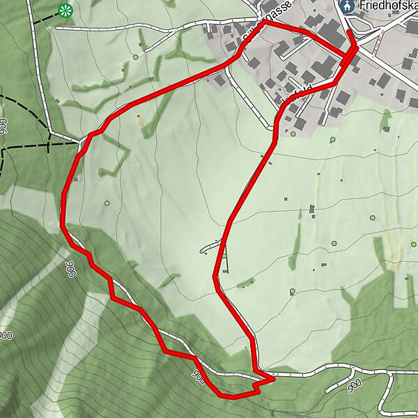
SAUTENS -> school -> view point Dreikirchenblick -> magic forest -> tobbogan run -> SAUTENS
- Difficulty
-
easy
- Rating
-
- Starting point
-
Sautens
- Route
-
FriedhofskapelleSautens (812 m)
- Best season
-
AugSepOctNovDecJanFebMarAprMayJunJul
- Description
-
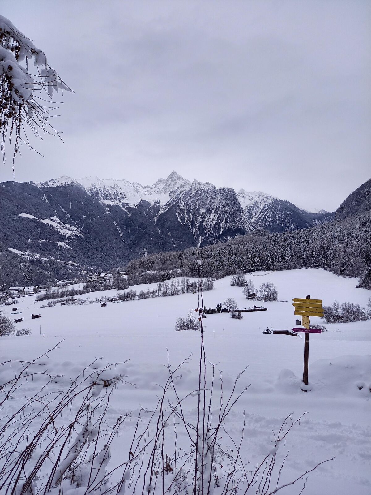
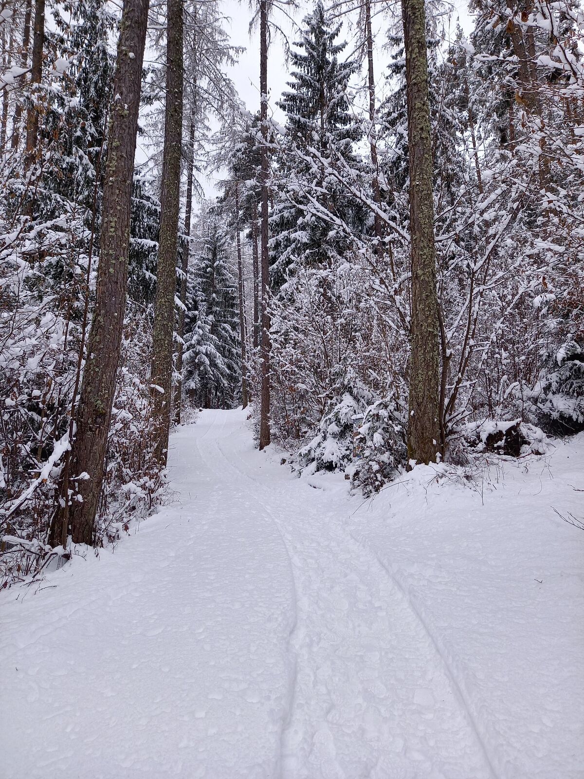
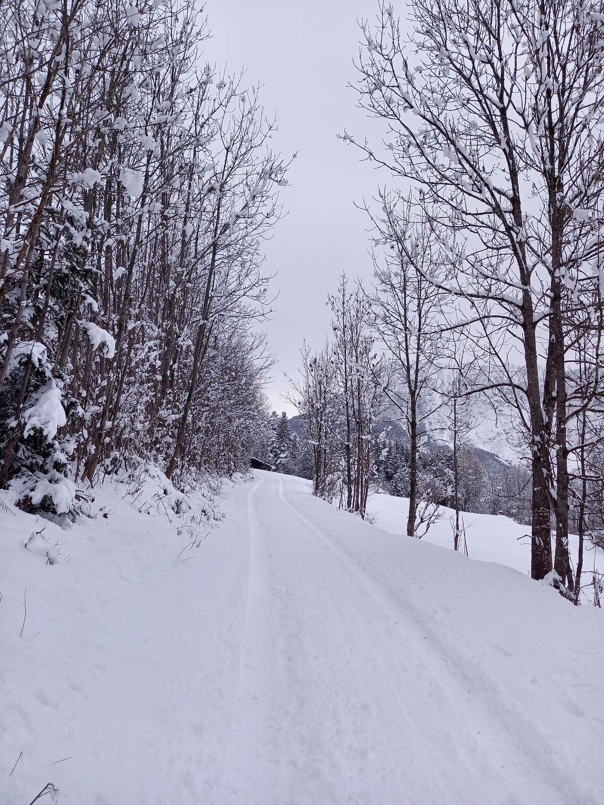
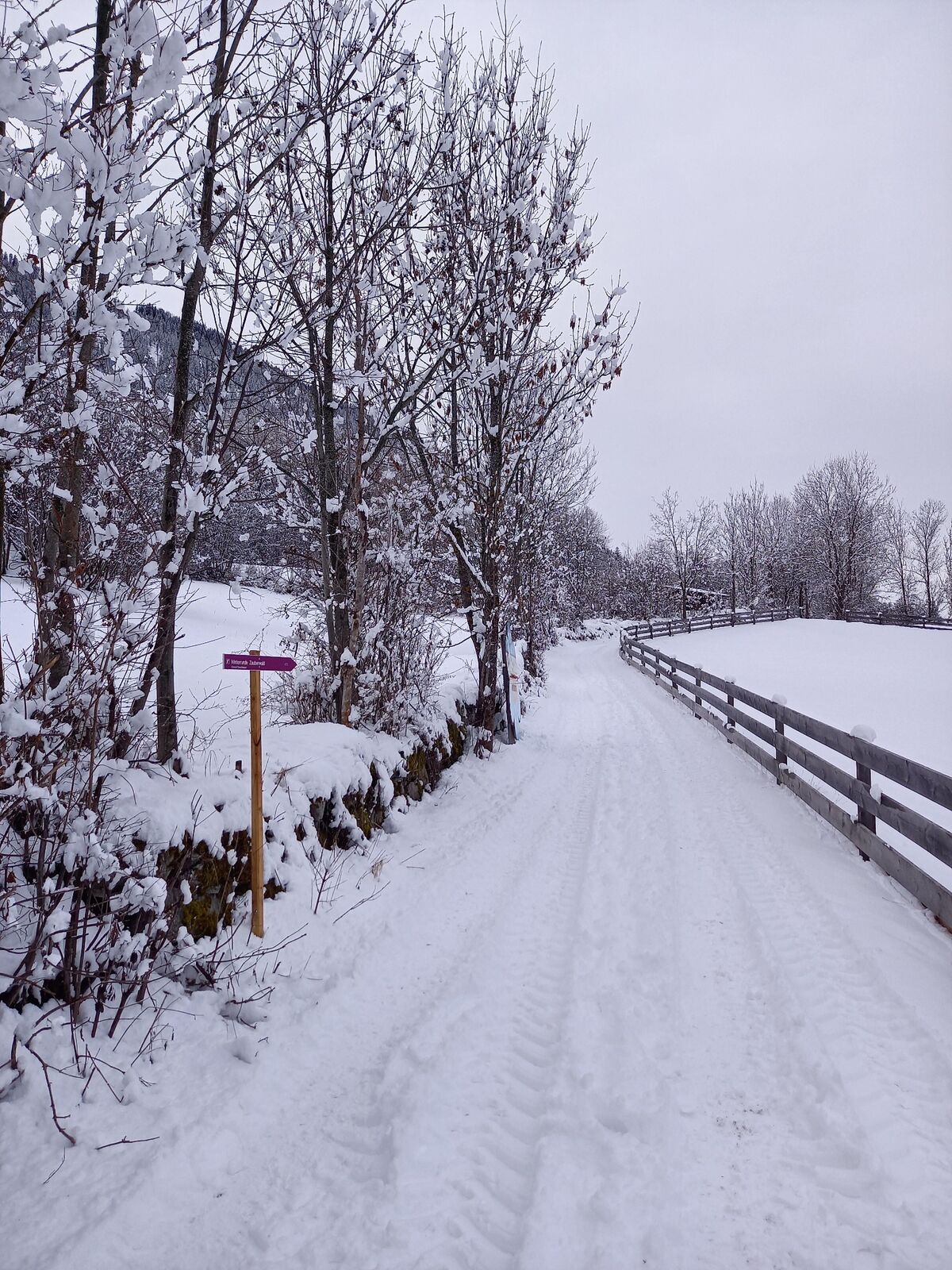
The starting point is by the primary school in Sautens (above the church). From there, you walk straight towards the playground where you will meet animals like a bee, a butterfly or an ant. A path across the meadow will lead you into the forest, where you see more animals such as the squirrl or the woodpecker. At the end of this path, you will reach a playground. In case of warm temperatues and little snow it is possible to play there in winter. The path after the playground will guide you back to the primary school.
- Directions
-
The starting point is by the primary school in Sautens (above the church). From there, you walk straight towards the playground where you will meet animals like a bee, a butterfly or an ant. A path across the meadow will lead you into the forest, where you see more animals such as the squirrl or the woodpecker. At the end of this path, you will reach a playground. In case of warm temperatues and little snow it is possible to play there in winter. The path after the playground will guide you back to the primary school.
- Highest point
- 899 m
- Endpoint
-
Sautens
- Height profile
-

- Equipment
-
It is recommended to wear hiking equipment such as outdoor clothing, weather-resistant outdoor clothing, ankle-high mountain boots, wind, rain and sun protection, cap and gloves. It is also important to have sufficient food and a first-aid package, a cell phone and a hiking map.
- Safety instructions
-
Please pay attention to the current weather- & avalanche report: www.oetztal.com/de/winter.html & avalanche-report/albina-web/bulletin/...
- Tips
-
For kids good winter clothes are perfekt! So thei can play also at the squirrl-parcours.
- Additional information
- Arrival
-
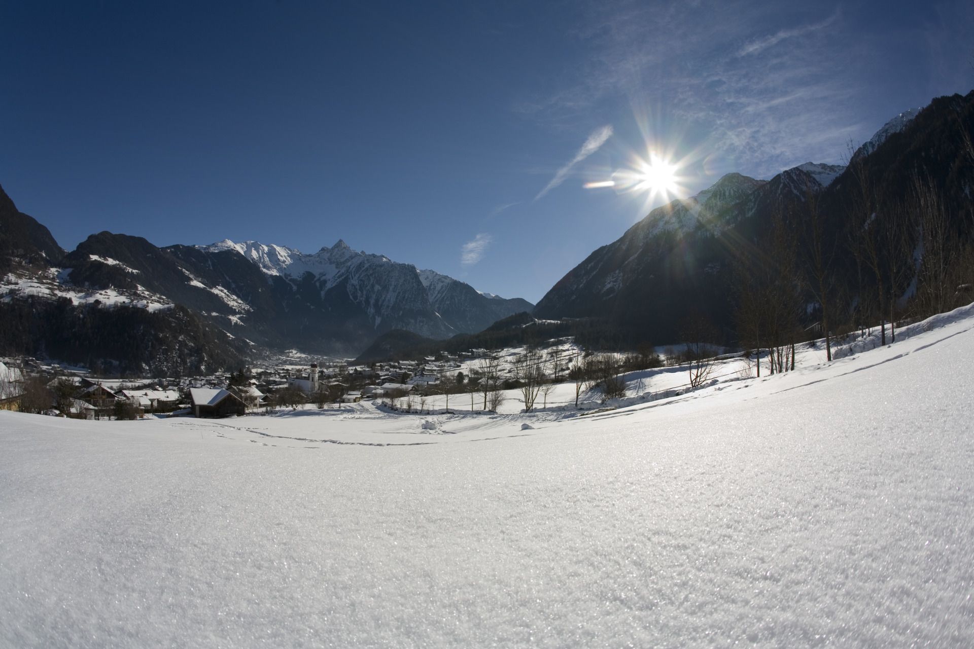
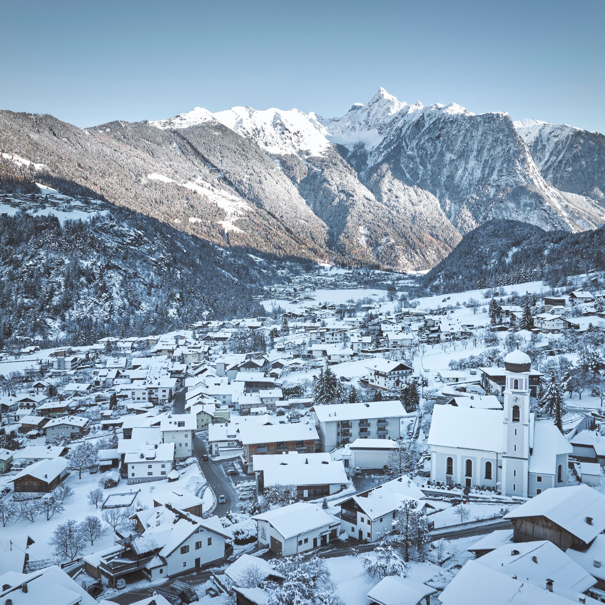
Sautens is located in the western part of Austria in the state TYROL, in a southern side valley of the Inn valley - the ÖTZTAL. For your arrival by car, you can plan the best route from your home town with the route planner online at www.google.at/maps
- Public transportation
-
Enjoy a both comfortable and relaxing train ride to the train station in Ötztal Bahnhof. You get off the train in ÖTZTAL Bahnhof where you change to a public bus or local taxi. The current bus schedule can be found at: fahrplan.vvt.at
- Parking
-
The following parking facilities are available in Sautens:
- directly in front of the town hall - for free of charge
- right after the big bridge right on the big gravel parking lot - for free
- at the sports field / cross chapel / experience Kalkofen as - for free
- in front of the elementary school / kindergarten, Kirchblickweg - for free
- Author
-
The tour Winterround - Magic forest (410) is used by outdooractive.com provided.


General info
-
Outdoorregion Imst
121
-
Sautens
48