


- Brief description
-
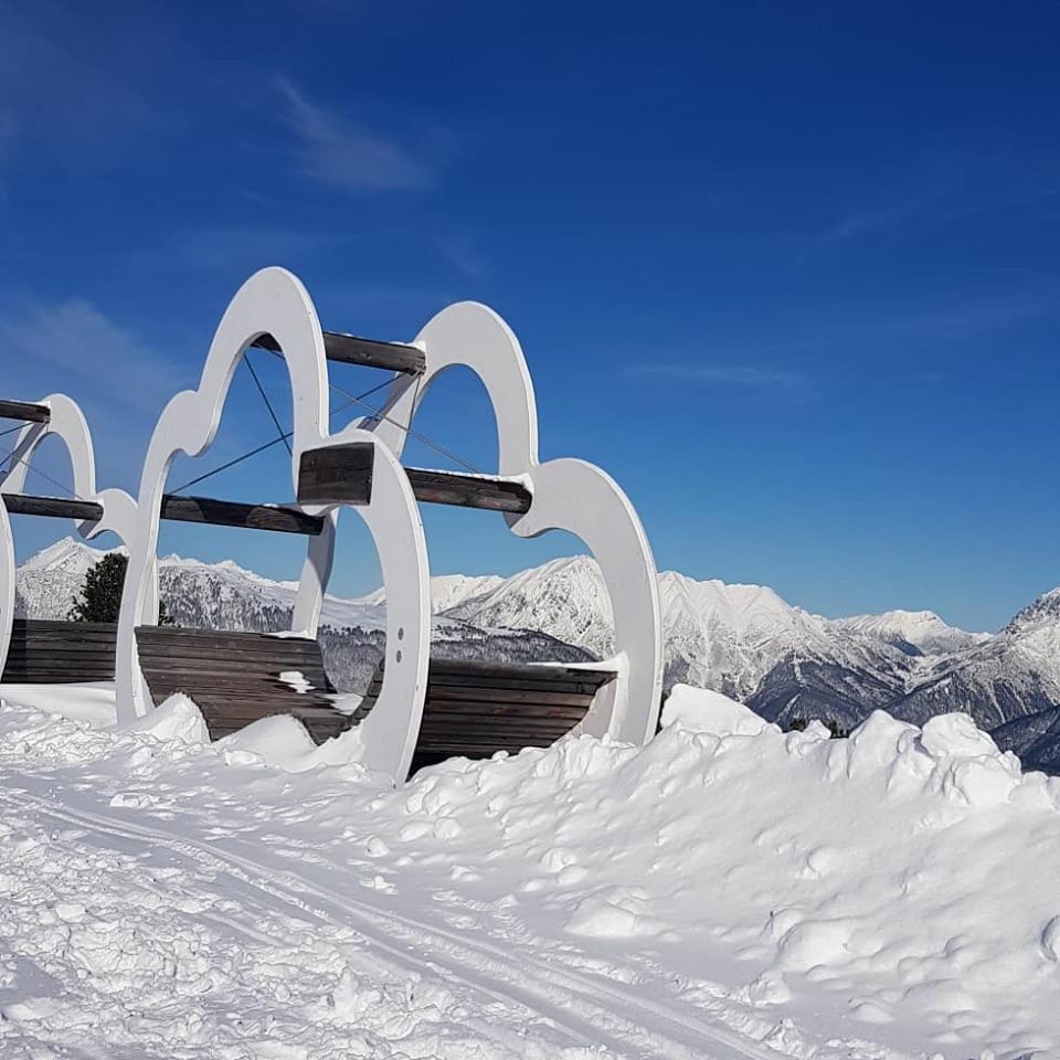
PANORAMARESTAURANT HOCHOETZ - Rotes Wandl - PANORAMARESTAURANT HOCHOETZ
- Difficulty
-
easy
- Rating
-
- Starting point
-
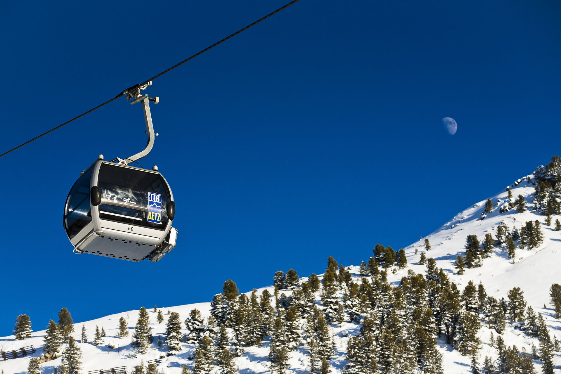
Panoramarestaurant Hochoetz
- Route
-
Wandl0.5 km
- Best season
-
AugSepOctNovDecJanFebMarAprMayJunJul
- Description
-
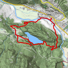
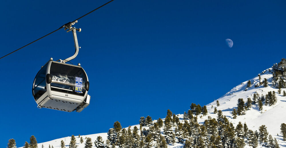
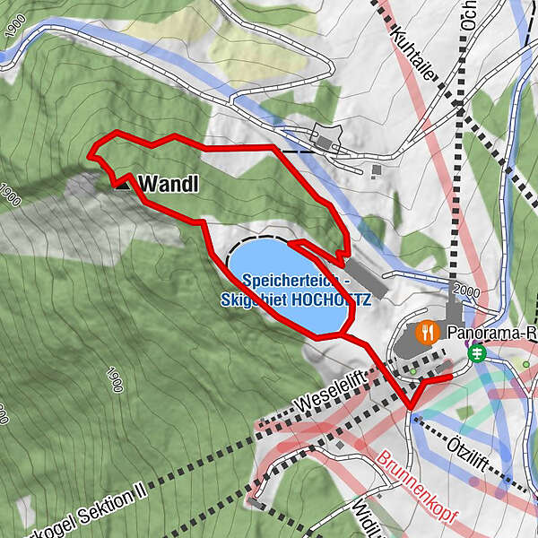
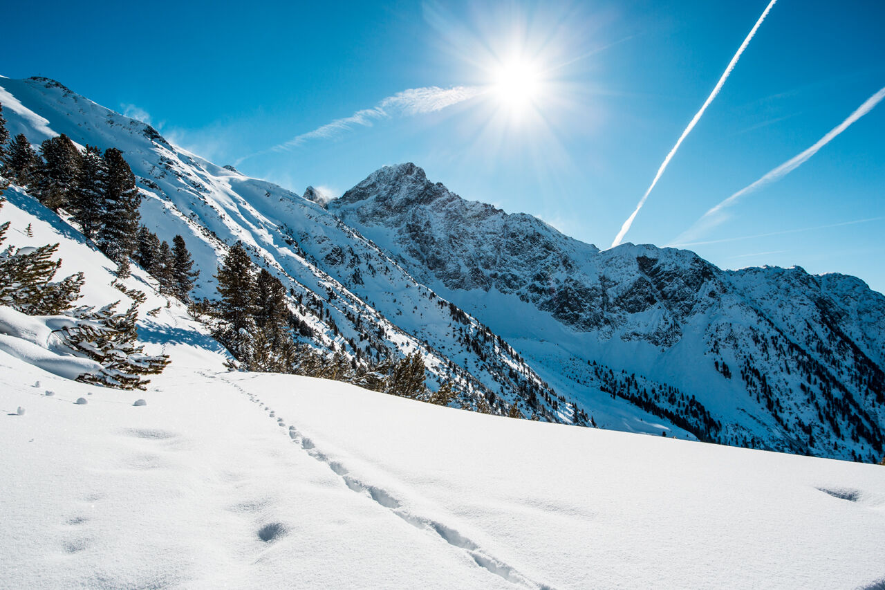
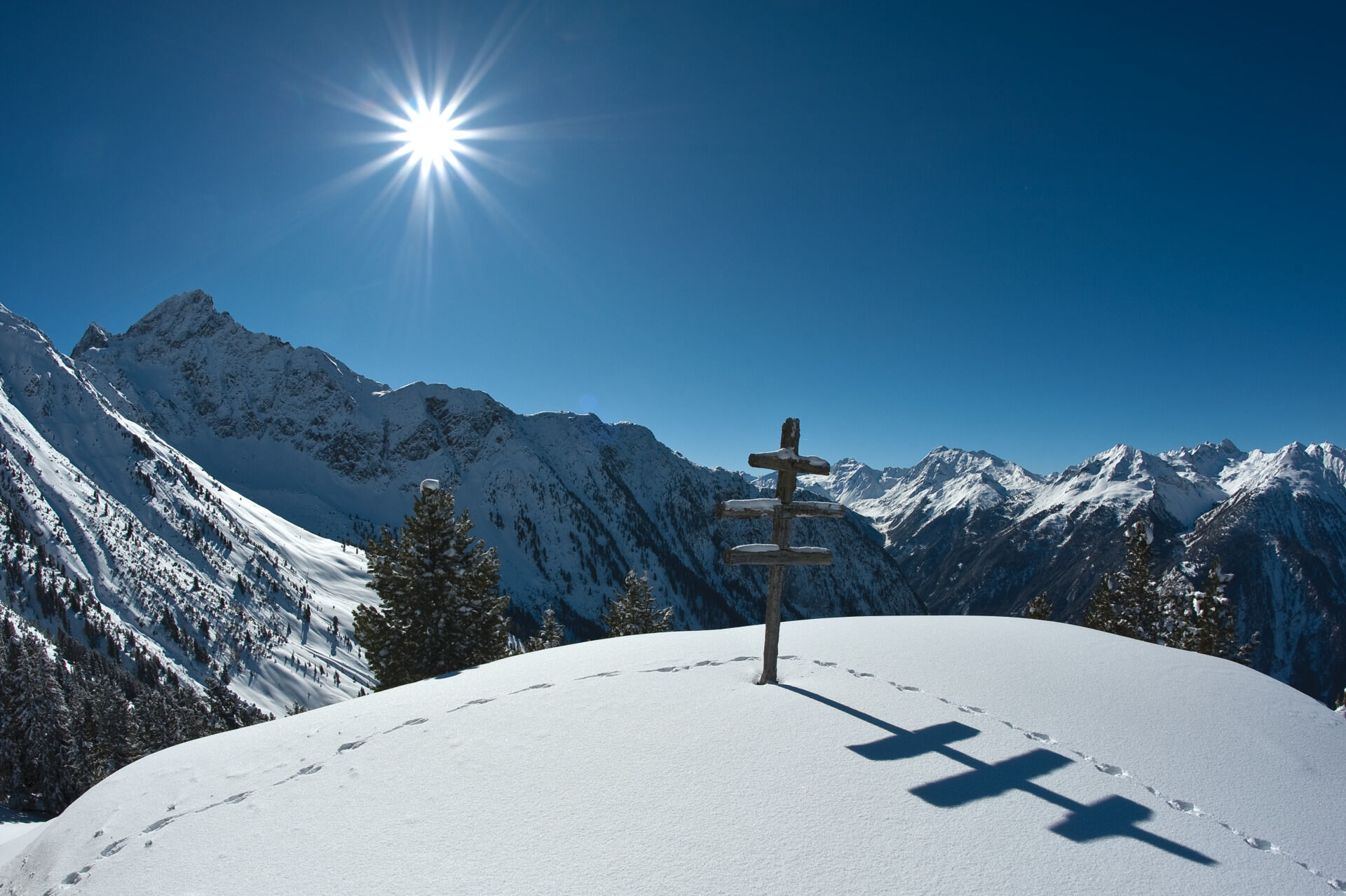
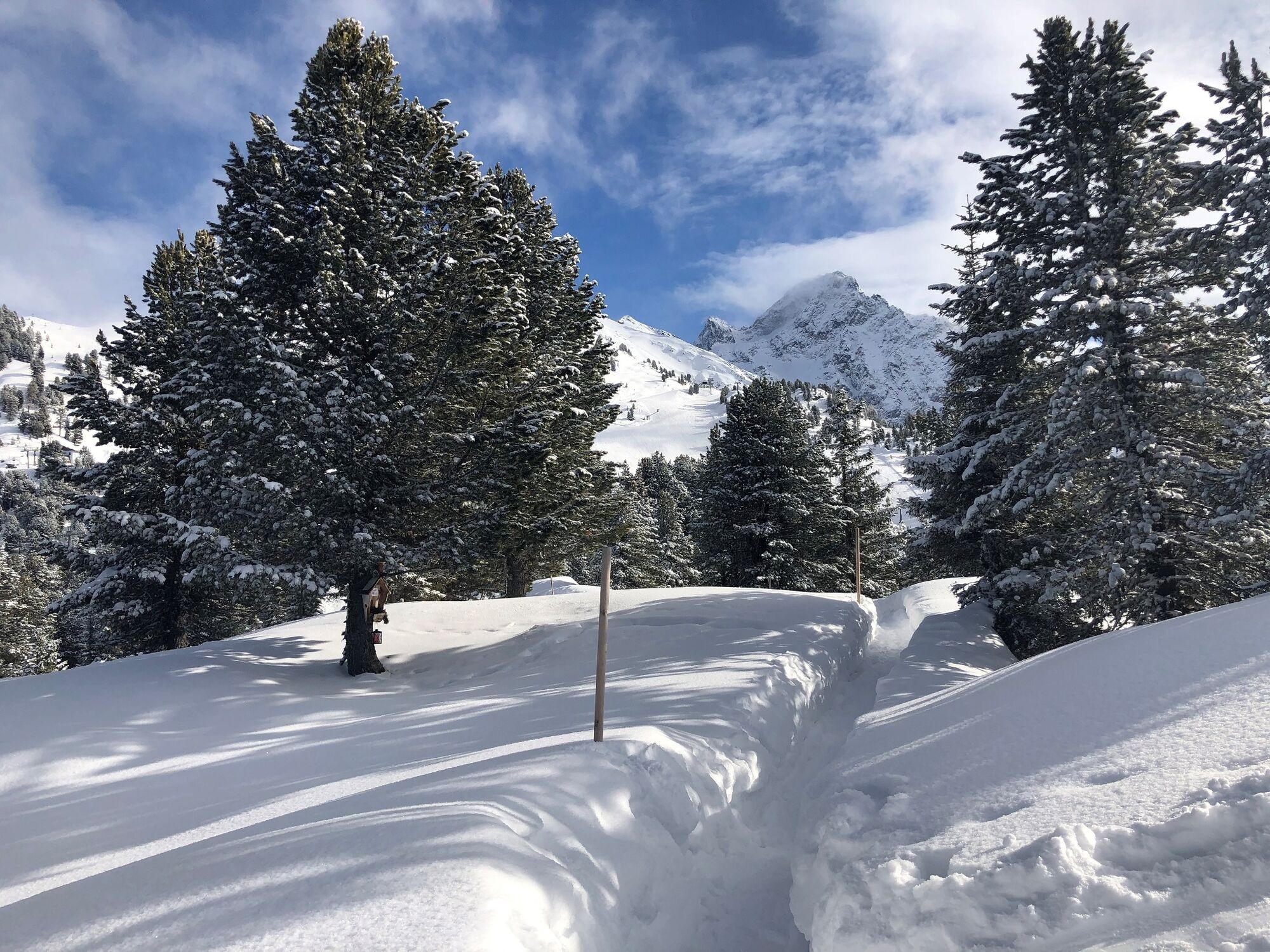
The hike starts at the panorama restaurant at the top of the Acherkogel cable car or Ochsengarten cable car. You follow the flat and prepared path to the vantage point "Rotes Wandl". From there you walk down to the Old Kühtaile Alm (no restaurant) and from there you follow the rising path back to the starting point.
Length: 1.5 km cleared panoramic circular trail
Hiking time: approx. 30 minutes
Level of difficulty: easy
Start/access: Panoramarestaurant Hochoetz
- Directions
-
The hike starts at the panorama restaurant at the top of the Acherkogel cable car or Ochsengarten cable car. You follow the flat and prepared path to the vantage point "Rotes Wandl". From there you walk down to the Old Kühtaile Alm (no restaurant) and from there you follow the rising path back to the starting point.
- Highest point
- 2,008 m
- Endpoint
-
Panoramarestaurant Hochoetz
- Height profile
-

- Equipment
-
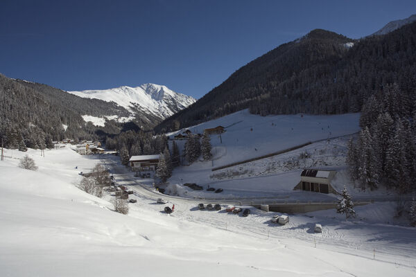
Appropriate equipment such as breathable suitable outdoor clothes for the weather, wind-, rain-, snow- and sun protection, hat and gloves is for all hikes and tours necessary. Please bring a first-aid box, a mobile phone, a walking map and if there is no hut on the way a snack and enough to drink.
- Safety instructions
- Tips
-
For kids the WIDIs MOVIESHUTTLE is a must-see!
- Directions
-
The car drive to the Ötztal valley. Situated in Tirol, the Ötztal valley set off in southerly direction and is the longest side valley in the Eastern Alps. The journey with the car leads you through the Inntal valley to the entrance of the valley and further on through the valley. Among the toll motorways you can also use the country roads. A route planner will show you the easiest and most convenient way: www.google.at/maps
- Public transportation
-
Enjoy a both comfortable and relaxing train ride to the train station in Ötztal Bahnhof. You get off the train in ÖTZTAL Bahnhof where you change to a public bus or local taxi. The current bus schedule can be found at: fahrplan.vvt.at
- Parking
-
The following parking facilities are available:
- Parking Acherkogelbahn - free for guests of the gondola lift, camping prohibited
- Parking next to the river (at the end of Oetz on the right hand side) – free of charge, but limited parking; camping prohibited
- Parking Oetz town center- parking fee
- Parking at night during several days' tours: Parking Oetz town center, the ticket is available at the tourist office Oetz.
- Parking at the Ochsengartencable car station. free parking, camping prohibited


- Author
-
The tour Winter hiking trail to Rotes Wandl vantage point is used by outdooractive.com provided.


General info
-
Mieminger Plateau & Inntal
148
-
Oetz
44