


- Brief description
-
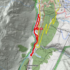
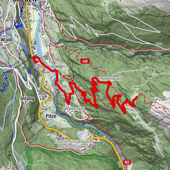
LÄNGENFELD -> Brand -> suspension bridge -> Burgstein -> LÄNGENFELD - Difficulty
-
medium
- Rating
-
- Starting point
-
Längenfeld Fischbachbrücke
- Route
-
Längenfeld (1,179 m)0.1 kmOberlängenfeld0.6 kmMariahilfkapelle1.8 kmBrand1.8 kmHl. Katharina5.2 kmOberlängenfeld5.2 km
- Best season
-
AugSepOctNovDecJanFebMarAprMayJunJul
- Description
-
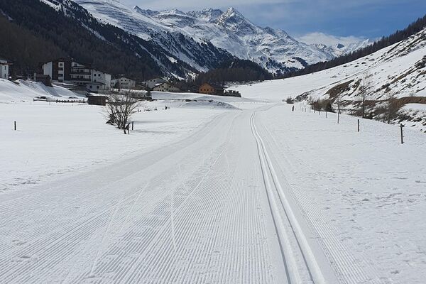
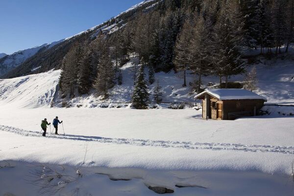
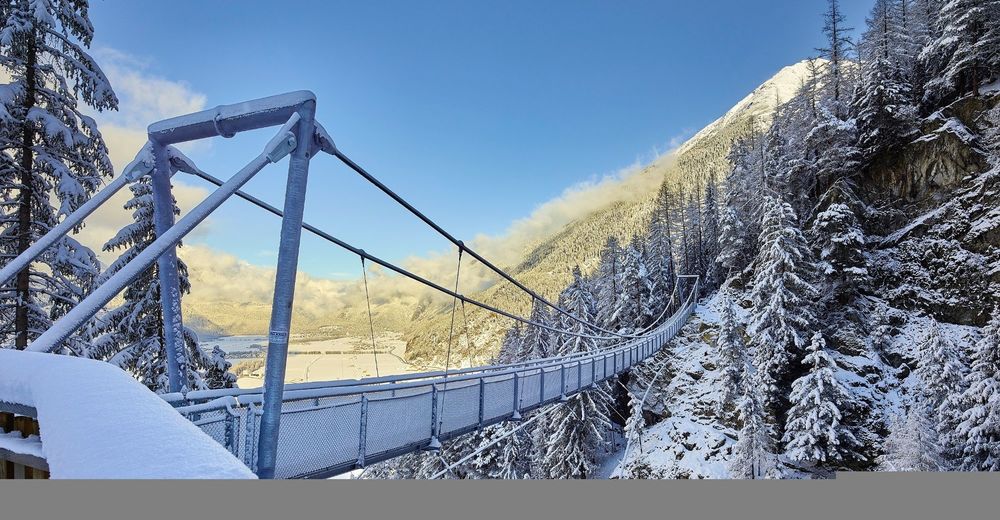
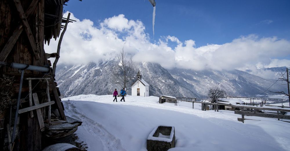
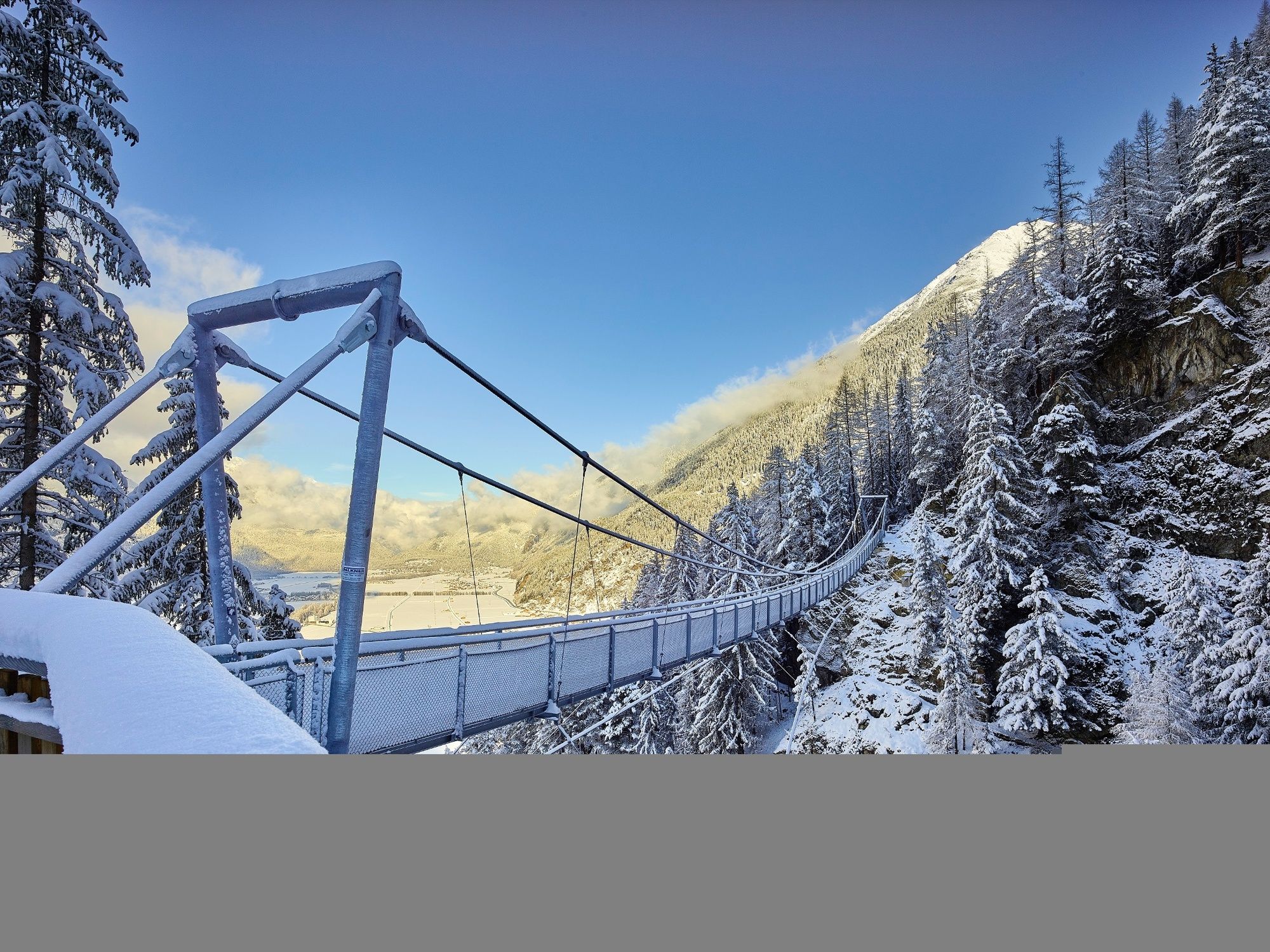
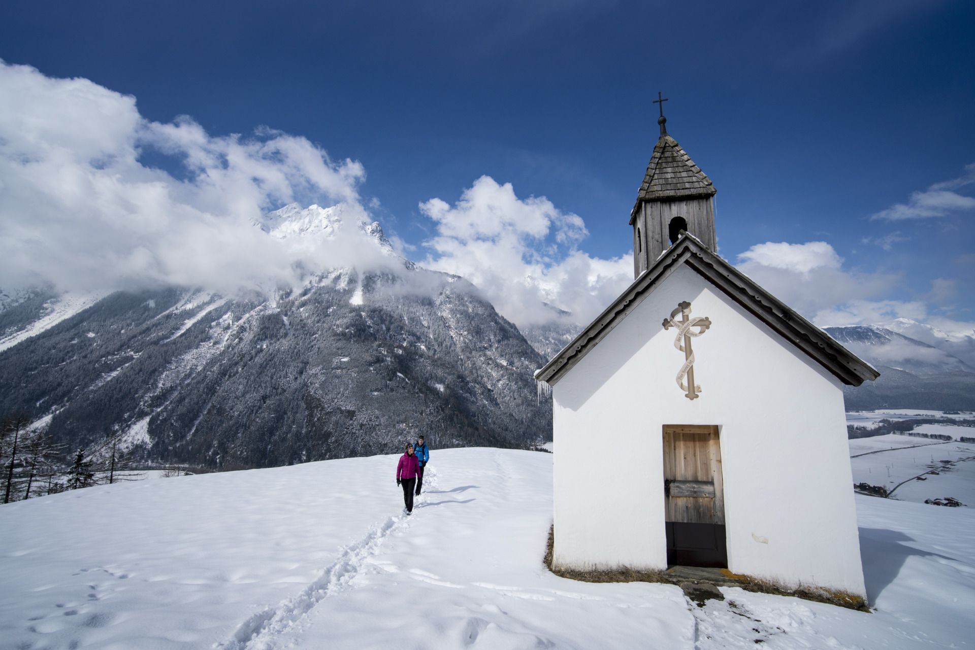
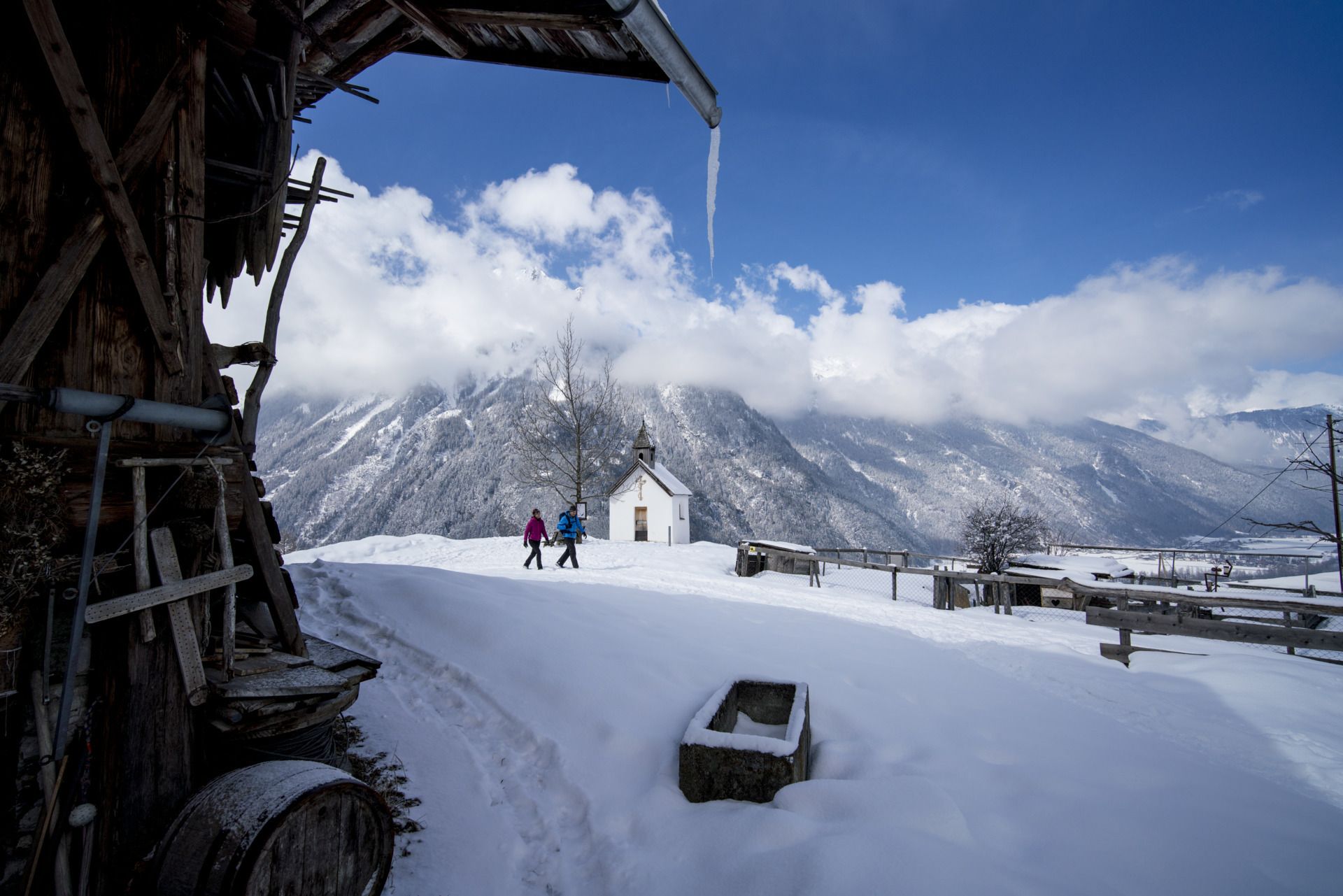
Since 2013, the 82-meter suspension bridge connects the hamlet of Burgstein with the Brandalm high above Längenfeld. The filigree steel construction gives 150m deep views into the Maurer gutter.From the start in Unterlängenfeld at the Fischbach bridge follow the steadily rising forest path to the Brandalm. From the high plateau you can enjoy a magnificent view of the valley. On the hiking trail towards Burgstein you can catch a glimpse into the valley as well. The highlight is the crossing of the suspension bridge. So that the 4-legged friend follows the master, engineers have covered the ground with a sight-tight dog track. Now it is only a few minutes walk to the hamlet Burgstein. From here a forest path (old Burgsteiner road) leads back to Längenfeld. The last piece back to the starting point leads along the main road.
- Directions
-
From the Fischbach bridge in the center of Längenfeld a wide forest path leads to the Brandalm. From there, a beautifully landscaped hiking trail leads over the suspension bridge to Burstein. The descent is via the old Burgsteiner road (Forstweg)
- Highest point
- 1,429 m
- Endpoint
-
Längenfeld Fischbachbrücke
- Height profile
-

- Equipment
-
Appropriate equipment such as breathable suitable outdoor clothes for the weather, is for all hikes and tours necessary.
- Safety instructions
-
Please pay attention to the current weather- & avalanche report: https://www.oetztal.com/de/ & https://lawinen.report/bulletin/latest
The Ötztal Tourismus team will be happy to inform you personally about the nature of the winter hiking trails.
Oetztal tourism T +43 5 72 00 300 - info@laengenfeld.com
- Tips
-
An exciting circuit with beautiful perspectives.
- Additional information
-
More details about winter hiking in Ötztal:
https://www.oetztal.com/winter-hiking
- Directions
-
The drive to the ÖTZTAL
Arriving by car leads holidaymakers over the Inntal to the valley entrance and further along the Ötztal. In addition to the motorway can also be used on rural roads. With the route planner, your journey can be quickly and easily determined. To the route planner: https://www.google.at/maps
- Public transportation
-
Public transportation
Travel comfortably and safely by train. Endstation or exit point is the station ÖTZTAL. Then you drive comfortably and quickly by public transport or the local taxi company through the entire valley to your desired destination. The current bus timetable can be found at: http://fahrplan.vvt.at
- Parking
-
The following parking facilities are available in Längenfeld:
- Sports center - (icerack) - free of charge
- Center of Längenfeld (small number of parking spaces) free of charge

- Author
-
The tour Round hiking trail Brand/Burgstein - Längenfeld 204 is used by outdooractive.com provided.