
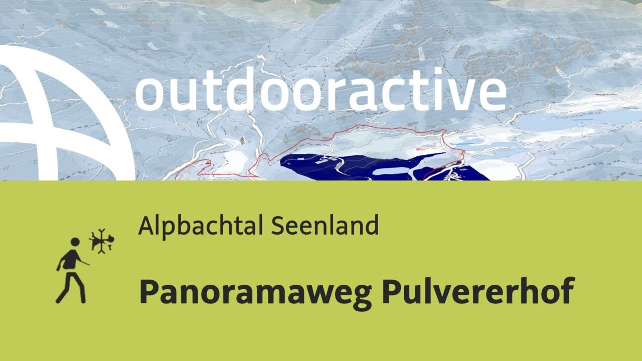
- Brief description
-
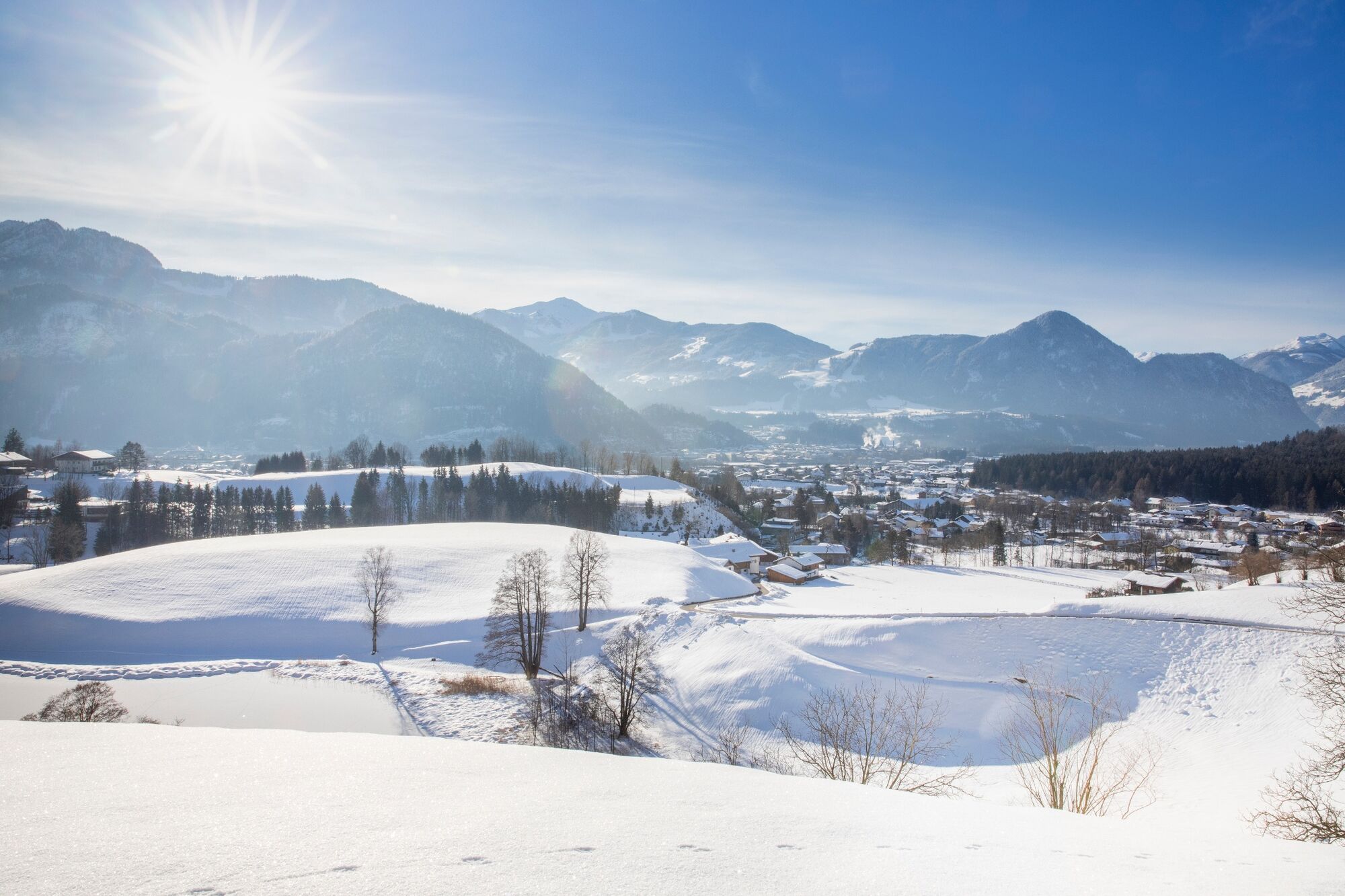
Lovely views over the lakes and the Inn Valley.
- Difficulty
-
easy
- Rating
-
- Starting point
-
Kramsach Sonnwendjochbergbahn (defunct chairlift)
- Route
-
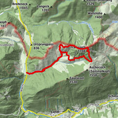
RadetzkywegMariatal (533 m)0.2 kmGasthaus Mariathal0.3 kmWallfahrtskirche (Basilika) Hl.Dominikus zu Mariathal0.4 kmKalvarienbergkapelle0.6 kmGenuss Schmied'n Stadlerhof2.5 kmEbnat4.2 kmWittberg (526 m)4.5 kmLiftstüberl5.0 kmRadetzkyweg5.1 km
- Best season
-
AugSepOctNovDecJanFebMarAprMayJunJul
- Description
-
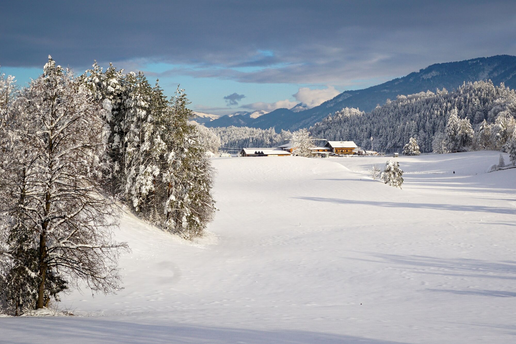
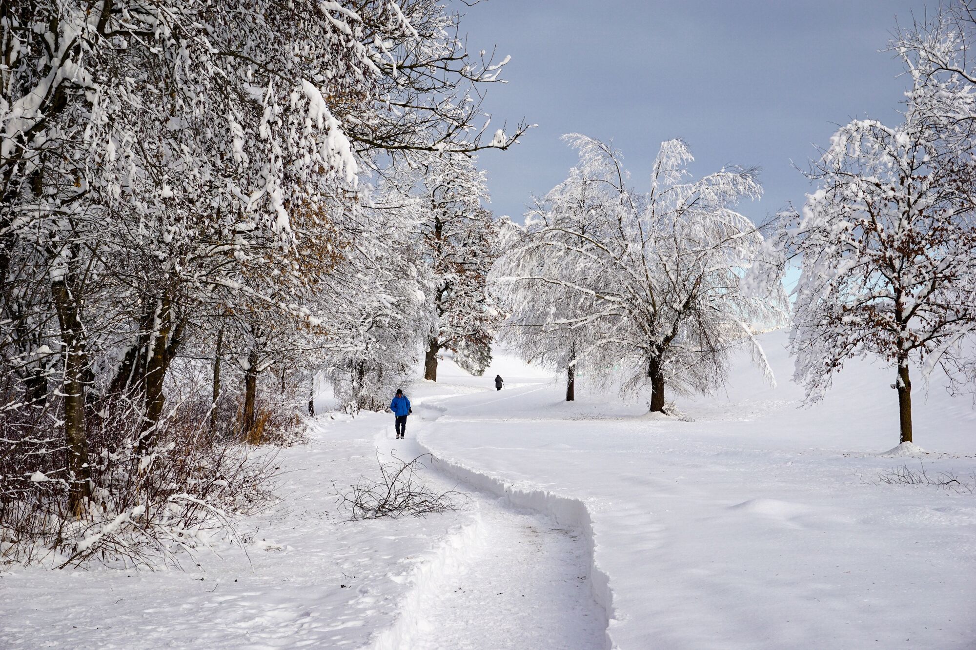
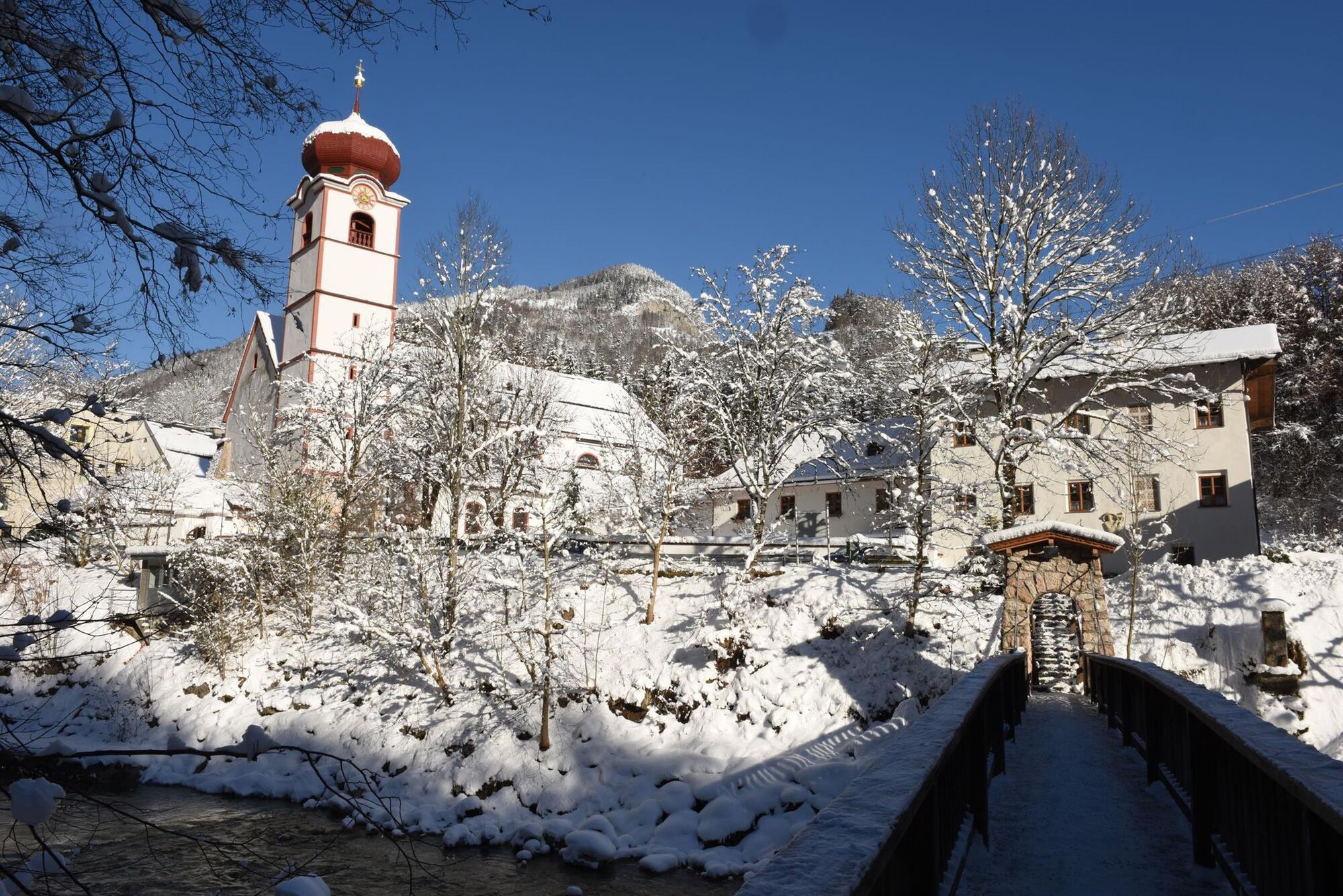
From the car park walk direction Aschau and cross the first wooden bridge leading to Mariatal. Walk past to the left of the pilgrimage basilica Mariathal and turn right after the last houses walking uphill to the „Kalvarienberg“; continue past the “Way of the Cross” path until above the basilica. Then follow the signs „zu den Seen/Rundwanderweg“. Stay on this path passing the „Pulvererhof“ to the „Stegerhof“; follow the main road to the right past Lake Krumm and the water wheel until the Gasthof Gappen. A narrow path leads to the road below, turn right and take the trail leading to the wooden bridge on the left. Cross the stream and follow the signs for the „Heilwasserweg“. Turn right onto the main road that leads back to the starting point. There are several places alongside the lake to stop off at and have a snack or a drink.
- Directions
-
From the car park walk direction Aschau and cross the first wooden bridge leading to Mariatal. Walk past to the left of the pilgrimage basilica Mariathal and turn right after the last houses walking uphill to the „Kalvarienberg“; continue past the “Way of the Cross” path until above the basilica. Then follow the signs „zu den Seen/Rundwanderweg“. Stay on this path passing the „Pulvererhof“ to the „Stegerhof“; follow the main road to the right past Lake Krumm and the water wheel until the Gasthof Gappen. A narrow path leads to the road below, turn right and take the trail leading to the wooden bridge on the left. Cross the stream and follow the signs for the „Heilwasserweg“. Turn right onto the main road that leads back to the starting point. There are several places alongside the lake to stop off at and have a snack or a drink.
- Highest point
- 627 m
- Endpoint
-
Kramsach Sonnwendjochbergbahn (defunct chairlift)
- Height profile
-

- Equipment
-
sturdy footwear, warm clothing
- Safety instructions
-
Please beware of possible danger of slipping due to slippery snow and ice!
- Tips
-
Spend a moment at the frozen over Frauen or Buch Lake!
- Additional information
- Public transportation
-
Bus no. 621/bus stop: Achenrain, bus no. 604/bus stop: Sonnwendjochbahn (defunct chairlift), bus no. 610/bus stop: Abzw. Mariatal
- Parking
-
car park Sonnwendjochbahn (defunct chairlift) Kramsach
- Author
-
The tour Panorama Path Pulvererhof - Kramsach is used by outdooractive.com provided.
-
Alpbachtal
93
-
Kramsach
30