- Brief description
-
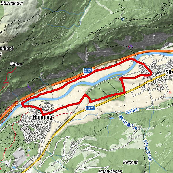
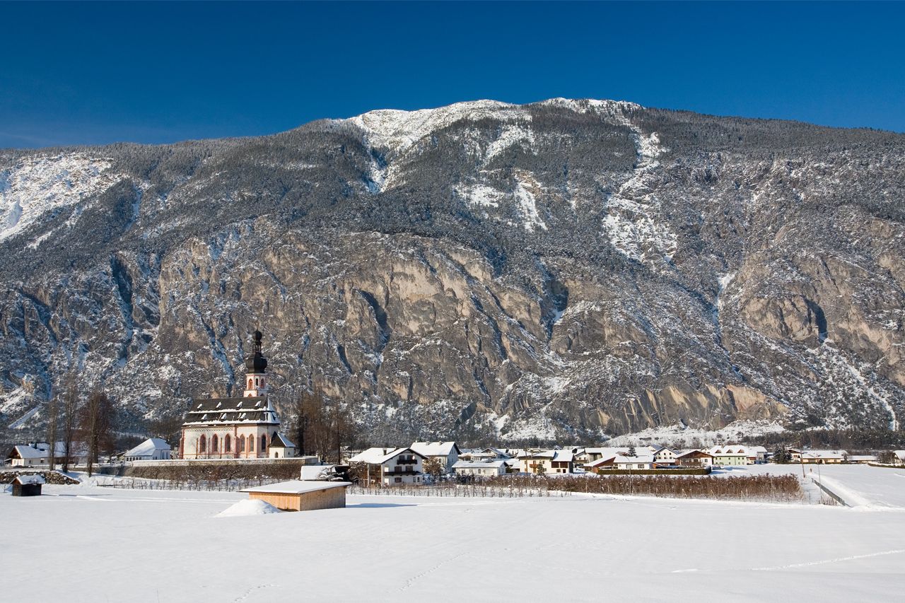
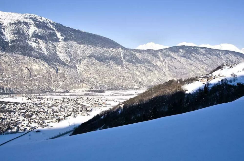
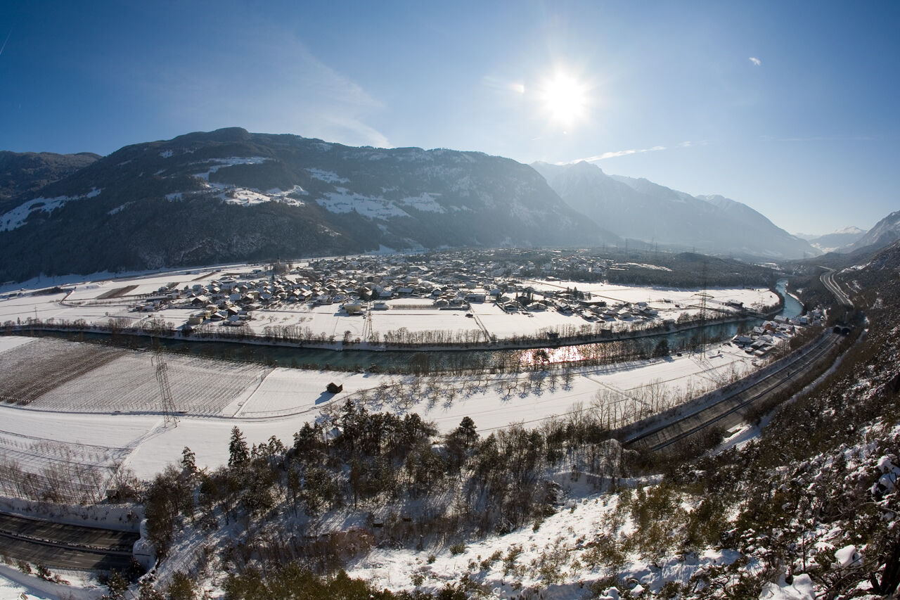
HAIMING -> Magerbach -> Aplestreet -> Silz -> back through Pirchetwald ->HAIMING
- Difficulty
-
easy
- Rating
-
- Starting point
-
Haiming
- Route
-
Haiming (670 m)Magerbach0.8 kmApfelmeile Haiming1.6 kmCrazy Eddy4.4 kmHaiming (670 m)9.3 km
- Best season
-
AugSepOctNovDecJanFebMarAprMayJunJul
- Description
-
Follow "Alte Bundesstraße" over the bridge to Magerbach. There you turn right and follow the apple-road down to Silz. In Silz you walk on "Simmeringstraße" and turn right to "Josef-Marberger-Straße" and further again to "Alte Bundesstraße". You walk over the fields and through the forest back to Haiming.
- Directions
-
Follow "Alte Bundesstraße" over the bridge to Magerbach. There you turn right and follow the apple-road down to Silz. In Silz you walk on "Simmeringstraße" and turn right to "Josef-Marberger-Straße" and further again to "Alte Bundesstraße". You walk over the fields and through the forest back to Haiming.
- Highest point
- 667 m
- Endpoint
-
Haiming
- Height profile
-

- Equipment
-
Appropriate equipment such as breathable suitable outdoor clothes for the weather, wind-, rain-, snow- and sun protection, hat and gloves is for all hikes and tours necessary. Please bring a first-aid box, a mobile phone, a walking map and if there is no hut on the way a snack and enough to drink.
- Safety instructions
-
Please pay attention to the current weather- & avalanche report: www.oetztal.com/de/winter.html & avalanche-report/albina-web/bulletin/...
- Tips
-
The apple-road is very nice and easy to walk. The plaground "Apfelmeile" is perfekt for kids.
- Additional information
- Directions
-
The car drive to the Ötztal valley. Situated in Tirol, the Ötztal valley set off in southerly direction and is the longest side valley in the Eastern Alps. The journey with the car leads you through the Inntal valley to the entrance of the valley and further on through the valley. Among the toll motorways you can also use the country roads. A route planner will show you the easiest and most convenient way: www.google.at/maps
- Public transportation
- Parking
-
The following parking facilities are available in Haiming:
- Haiming forecourt municipal office / town center
- Haiming sports center / outdoor pool
- Raftingeinsteiningtelle Magerbach / via ferrata Geierwand

- Author
-
The tour Appleroad is used by outdooractive.com provided.