- Brief description
-
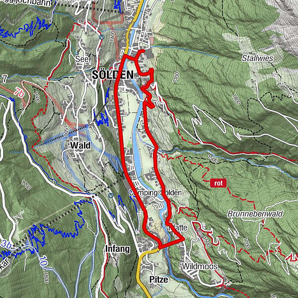
Freizeit Arena -> Granbichl -> Windau -> Platte -> Freizeit Arena
- Difficulty
-
easy
- Rating
-
- Starting point
-
Freizeit Arena
- Route
-
Platte2.1 kmMariä Heimsuchung3.9 kmSölden (1,368 m)4.0 km
- Best season
-
AugSepOctNovDecJanFebMarAprMayJunJul
- Description
-
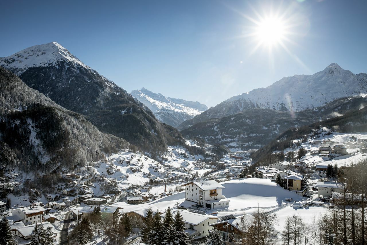
From the Freizeit Arena you follow the path in the direction of Granbichl and Windau to the Gaislachkogelbahn. Continue along the campsite and cross the bridge where you will reach Platte. From there you keep right and take the marked path to the suspension bridge.
You can follow the main road back to the center of Sölden and the Freizeit Arena.
- Directions
-
Starting at the Freizeit Arena you turn left in the direction of Granbichl.
At the first turn you keep right and follow a narrow path along the river to the Gaislachkogelbahn.
When you arrive at the valley station of the Gaislachkogelbahn, continue straight and pass the campsite, where you cross the bridge.
Following the road sign (K2) slightly uphill, you get will get to Platte.
From there, a marked path leads over the spectacular suspension bridge.
The way back to the center leads over the main road in the direction of the Gaislachkogelbahn back to the Freizeit Arena.
Tip: As an alternative route back, you can cross the wooden bridge at the Gaislachkogelbahn and get back to the Freizeit Arena via the experience mile.
- Highest point
- 1,420 m
- Endpoint
-
Freizeit Arena
- Height profile
-

- Equipment
-
It is recommended to wear hiking equipment such as weather-resistant outdoor clothing, ankle-high mountain boots, wind, rain and sun protection, cap and gloves.
It is also important to bring food, water, a first-aid package, a cell phone and a hiking map.
- Safety instructions
-
Please inform yourself about the conditions and status of the respective winter hiking trail at Ötztal Tourismus.
Ötztal Tourismus
T +43 5 72 00 200
info@oetztal.com - Additional information
- Directions
- Public transportation
- Parking
-
The following parking facilities are available in Sölden:
- Parking lot Postplatz
- parking lot Stiegele
- stair parking
- Giggijochbahn + underground garage
- Gaislachkoglbahn + underground garage
- Parking Hochsölden
- parking garage Hochsölden 1. parking lot
All parking is free during the day.


- Author
-
The tour Roundway to suspension bridge - Sölden is used by outdooractive.com provided.