


- Brief description
-
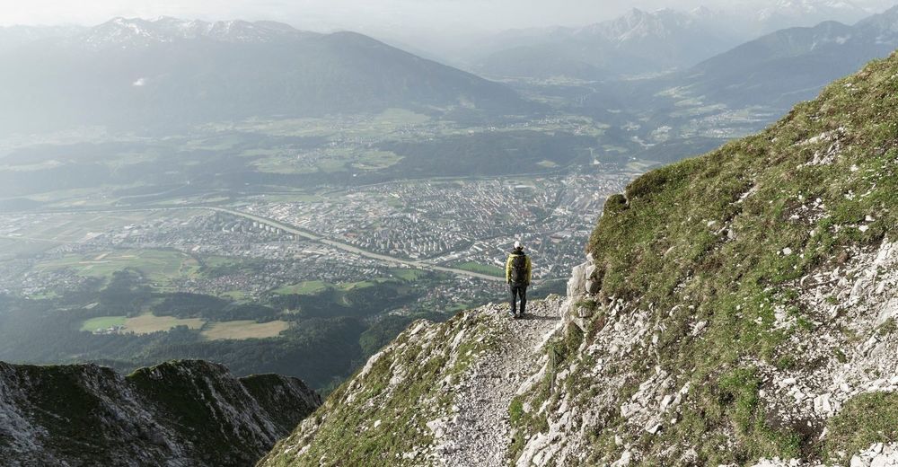
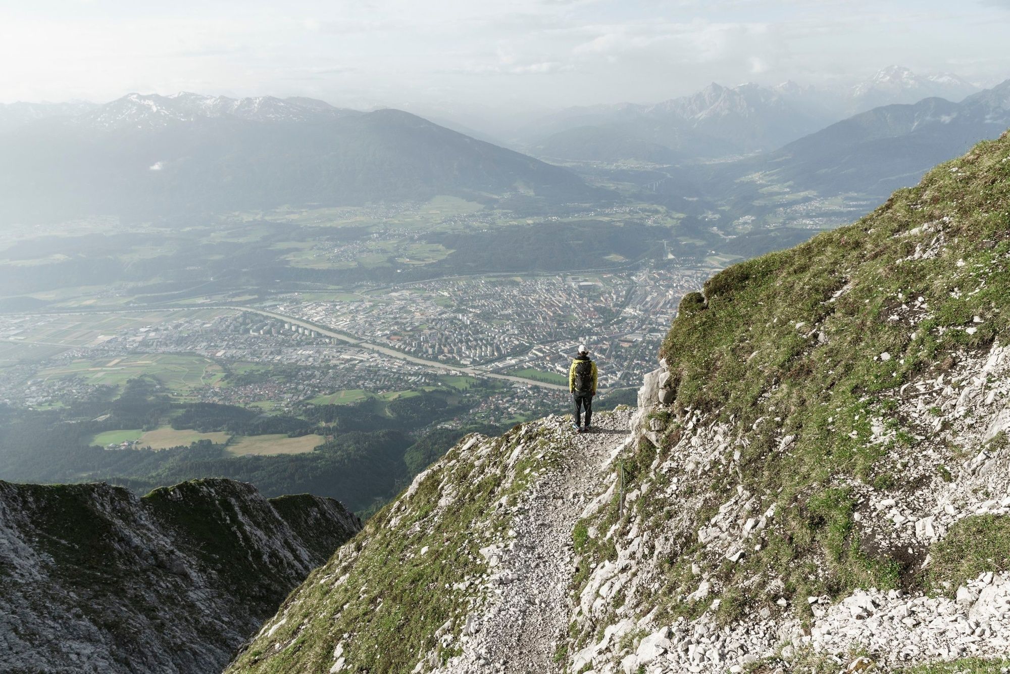
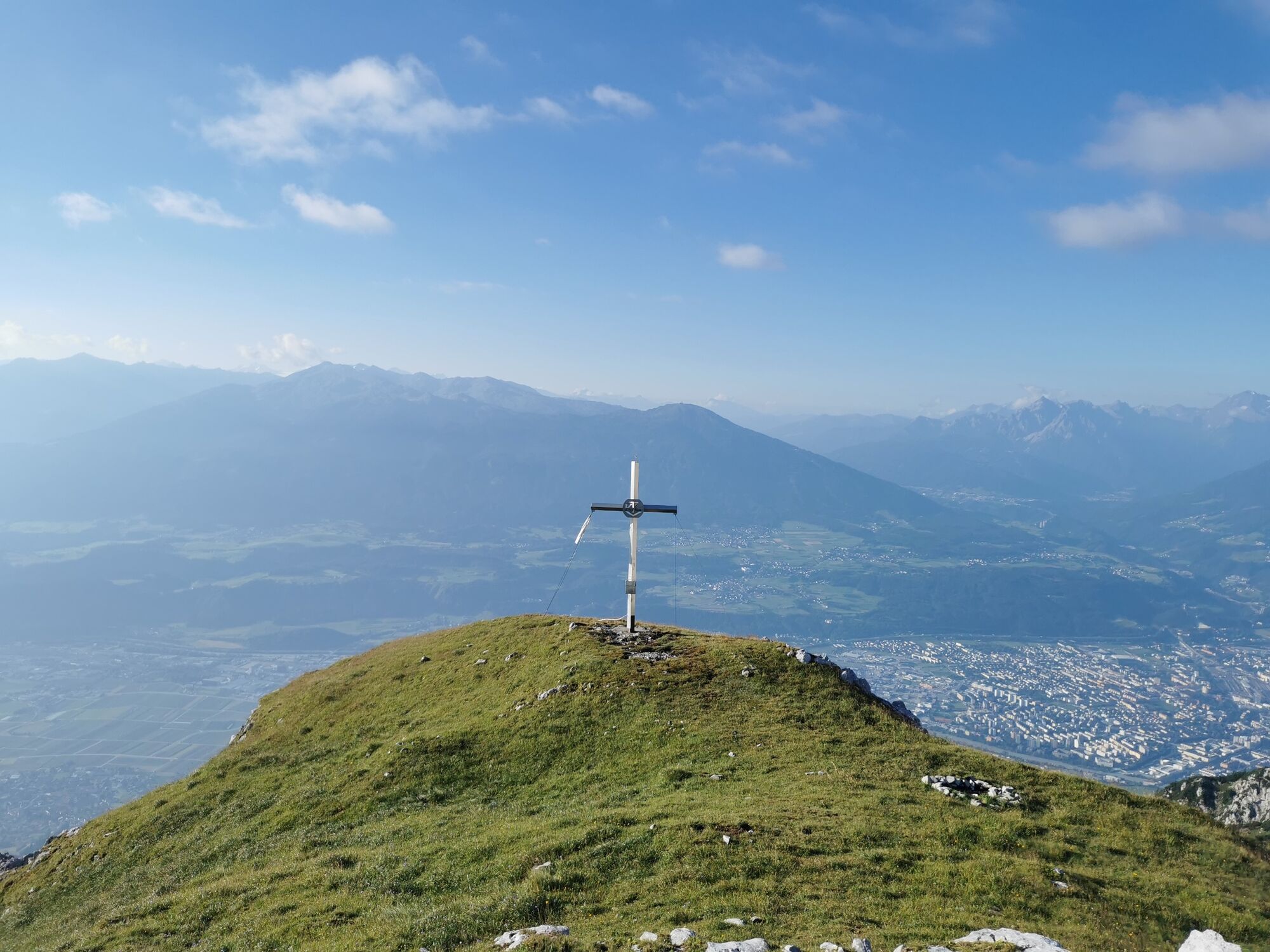
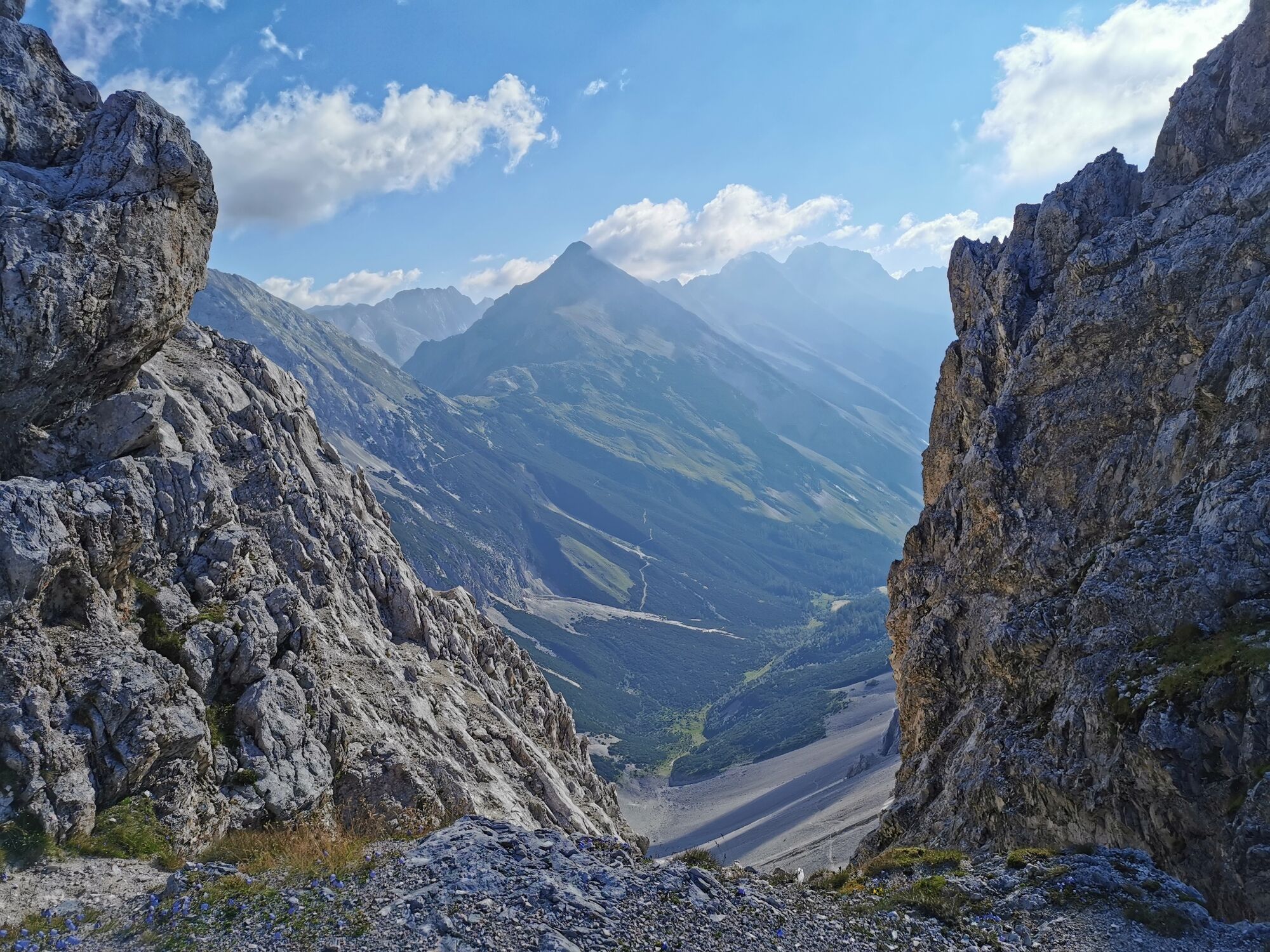
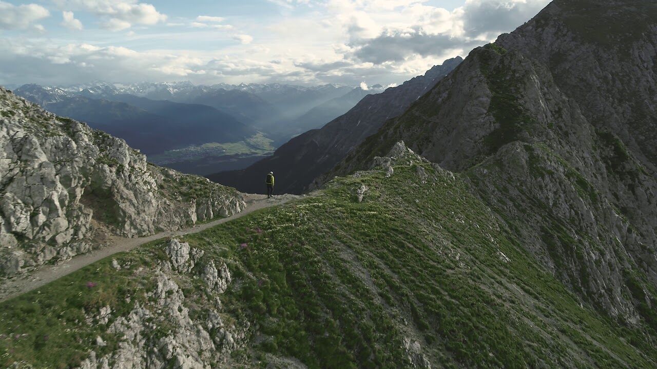
The Goethe Weg in Tyrol (not on the Brocken in the Harz mountains) starts at the top station of the Nordkettenbahn (Hafelekar) and leads along the ridge with several ascents and descents to the Pfeishütte (1922 m) and further through the Halltal valley to Absam
- Difficulty
-
medium
- Rating
-
- Route
-
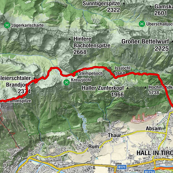
Karstube0.0 kmPfeishütte5.5 kmNotraum5.5 kmIssjöchl (1,668 m)9.9 kmHerrenhäuser (1,490 m)10.4 kmRuppertikapelle10.5 kmErzherzogberg (1,424 m)10.9 kmJausenstation St. Magdalena (1,287 m)12.4 kmKohlanger12.8 kmBettelwurfeck13.7 kmJakobibründlquelle13.7 kmBergerkapelle14.8 km
- Best season
-
JanFebMarAprMayJunJulAugSepOctNovDec
- Directions
-
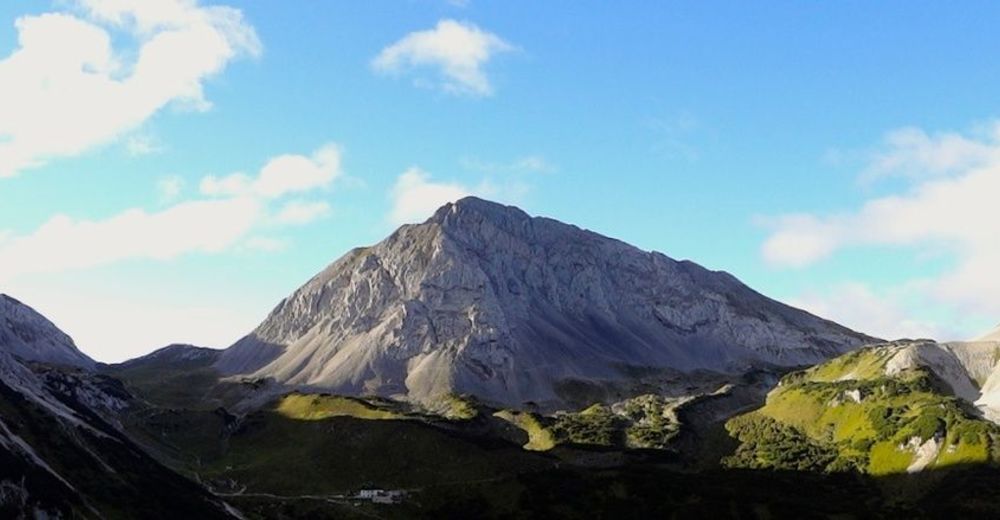
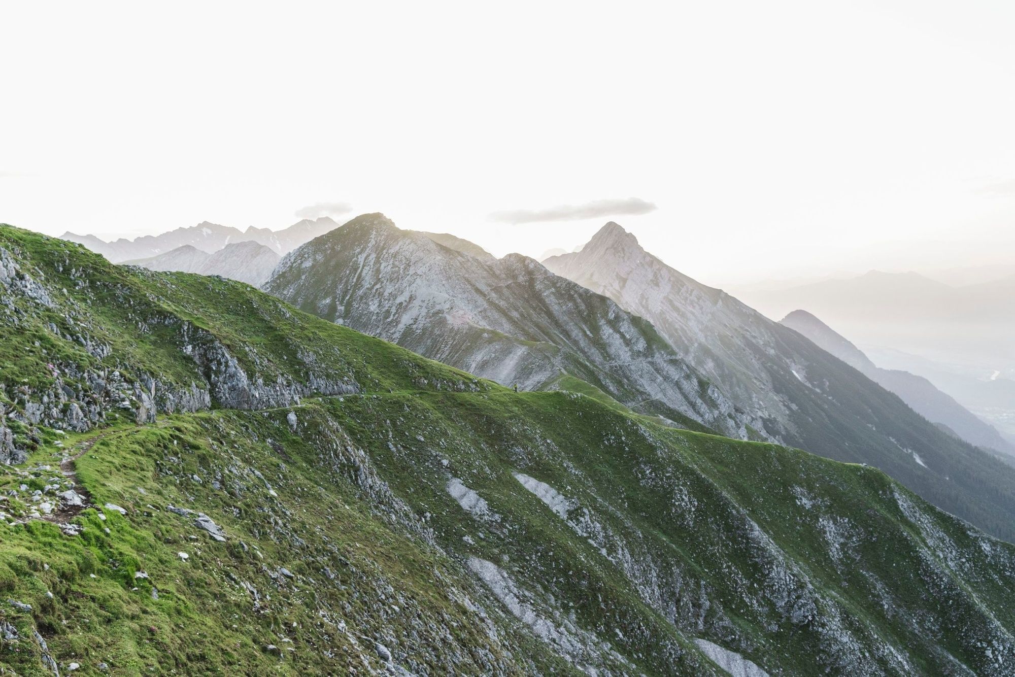
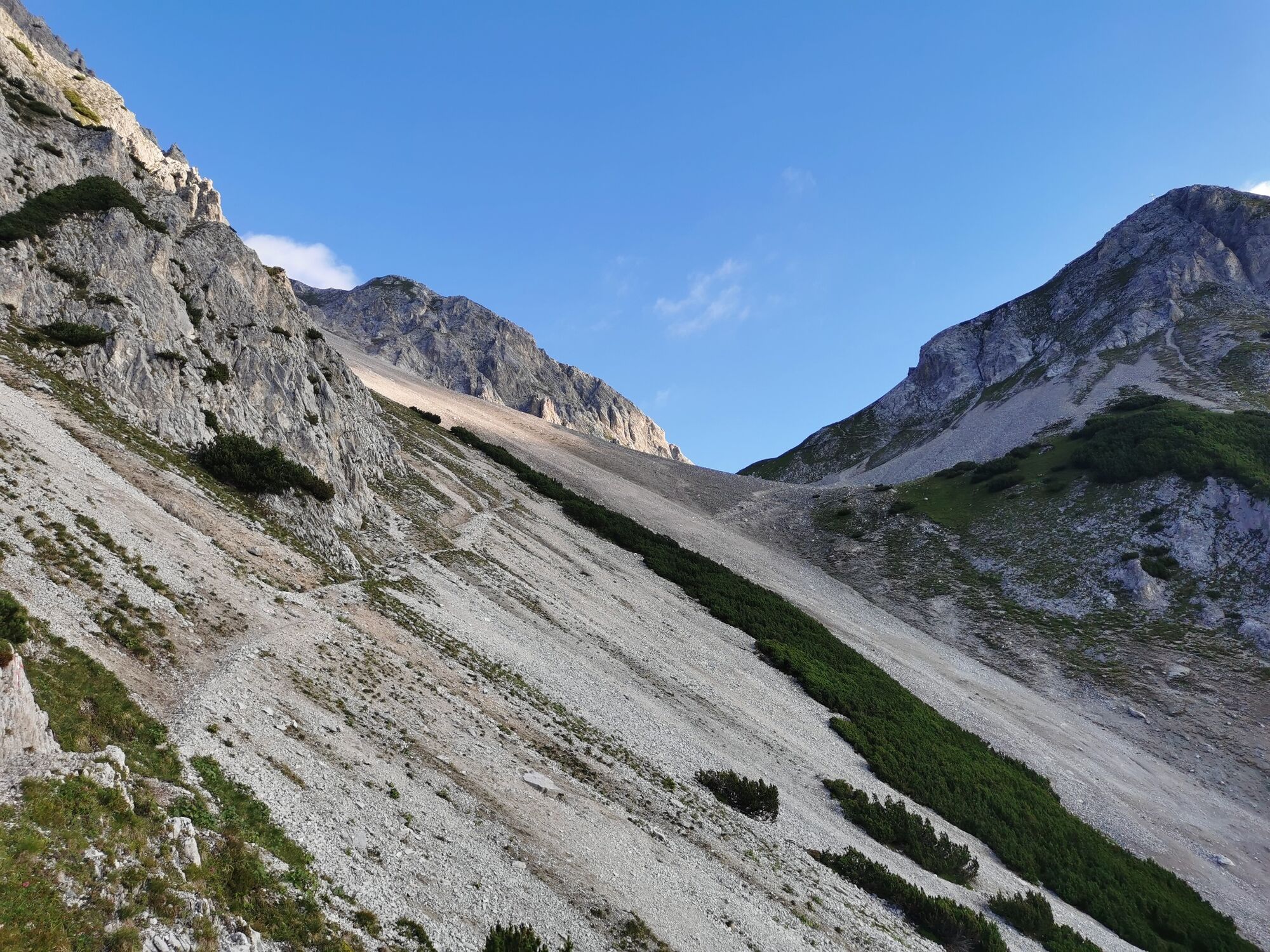
The Goethe Weg starts at the top station of the Nordkettenbahn (Hafelekar) and initially follows a relatively flat path below the Hafelekarspitze, Gleirschspitze and Mandlspitze. If you start with a view down to Innsbruck, the path then changes to the other side of the Nordkette and you can enjoy views down into the Karwendel.
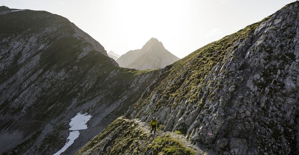
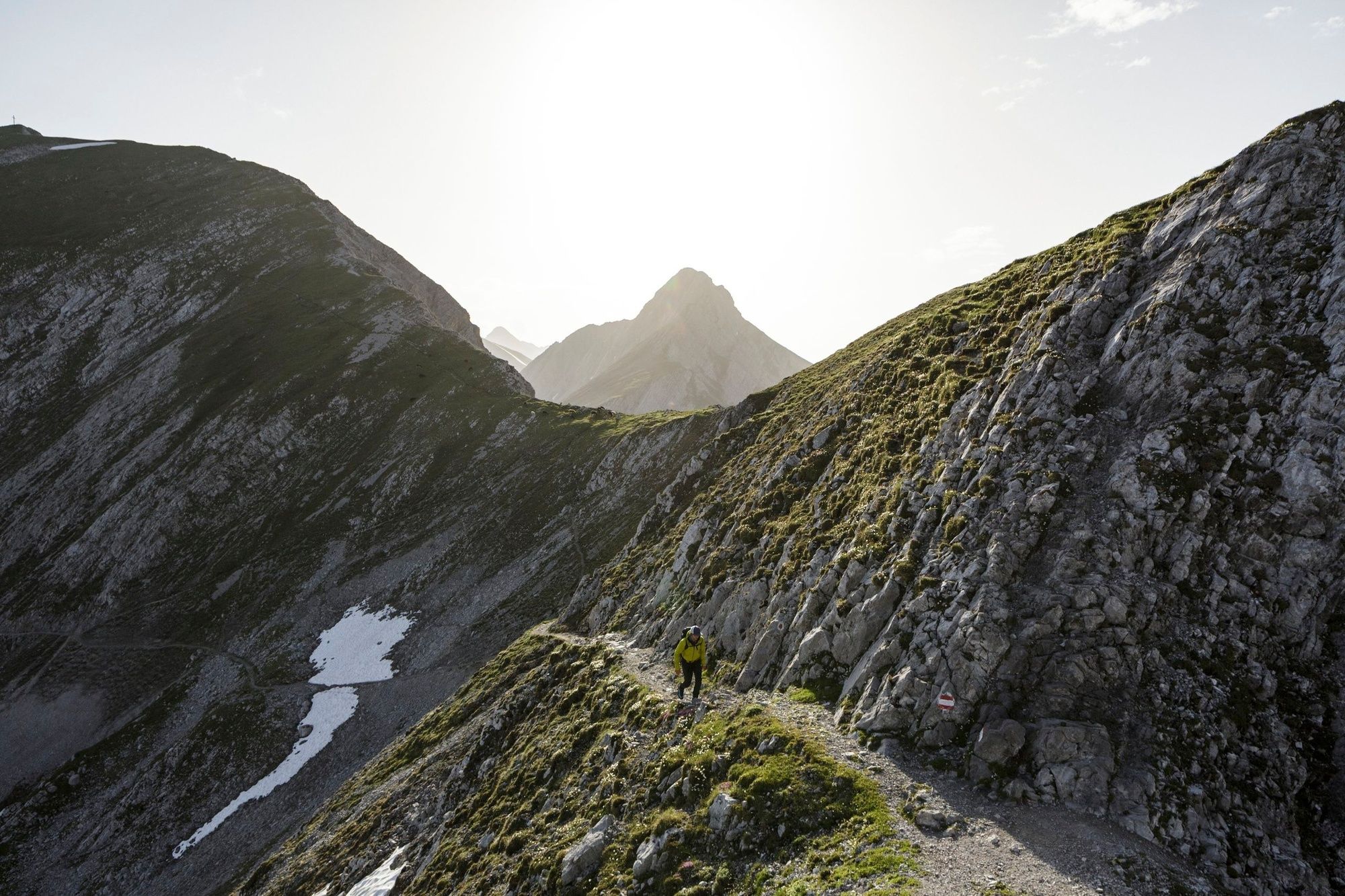
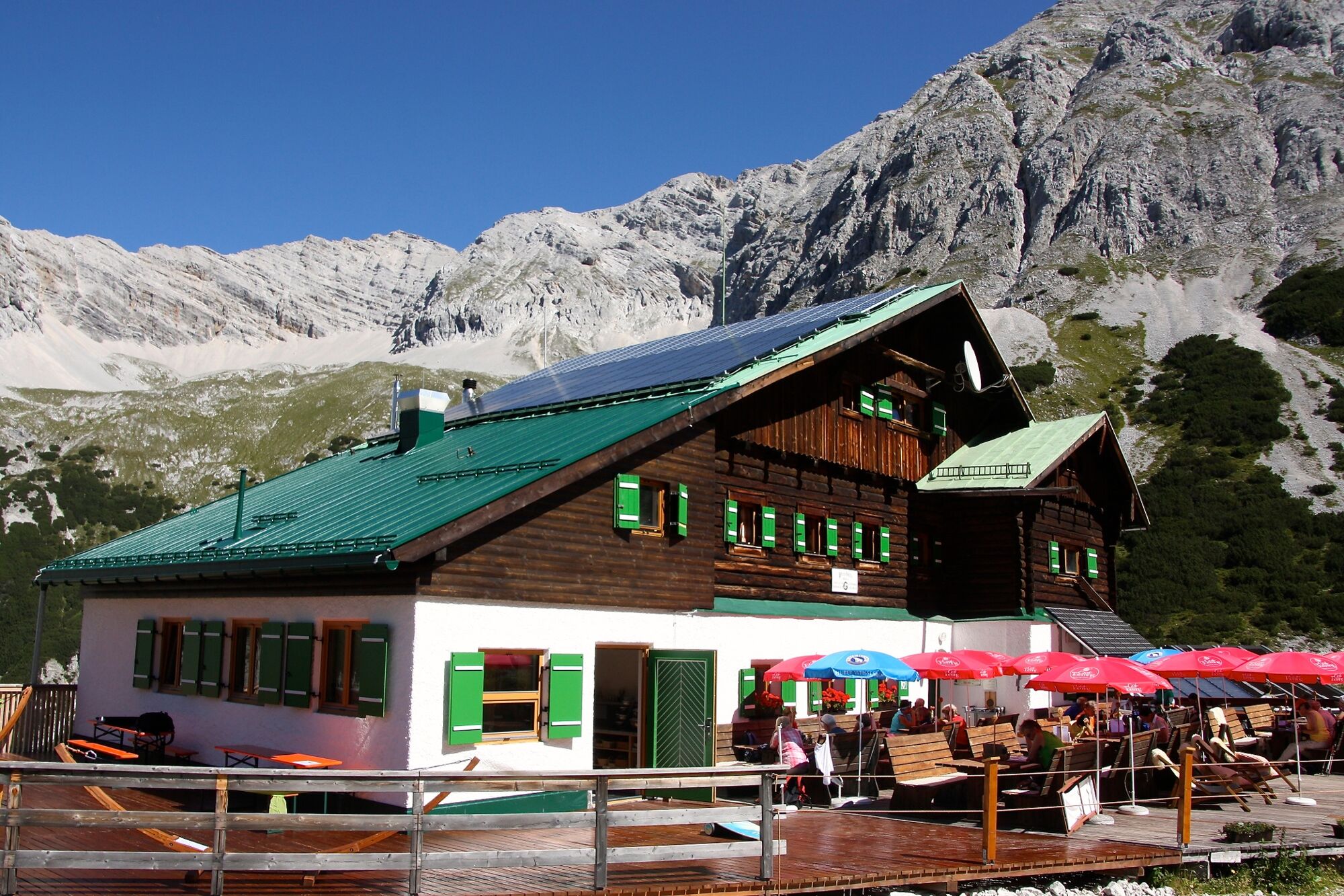
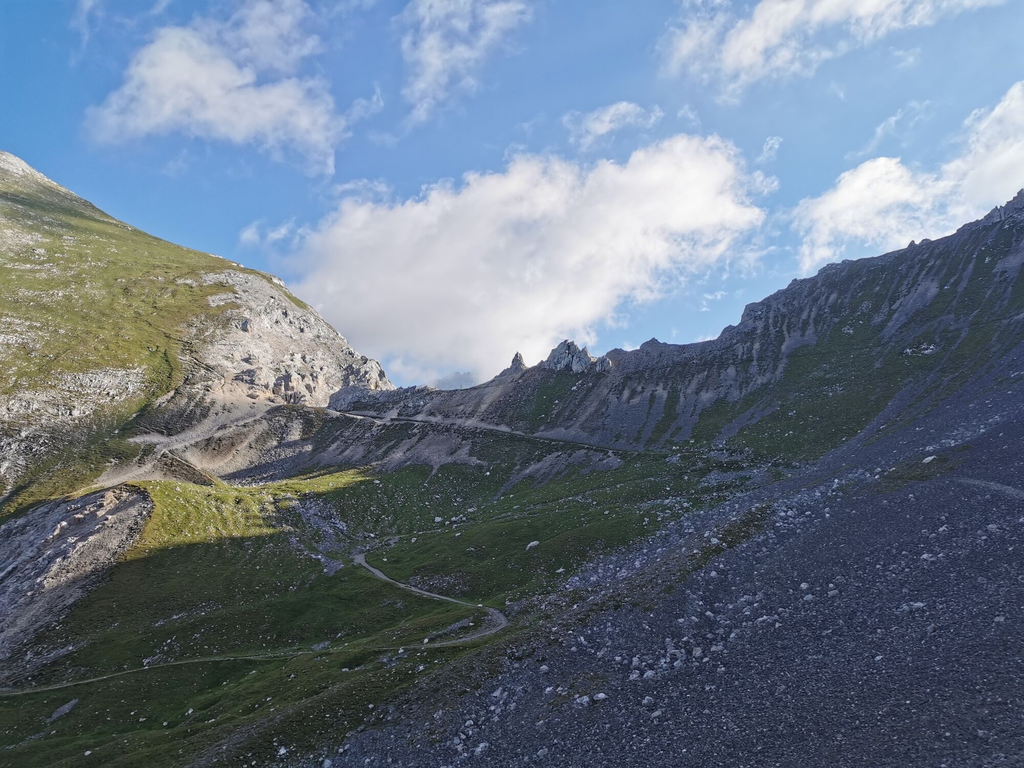
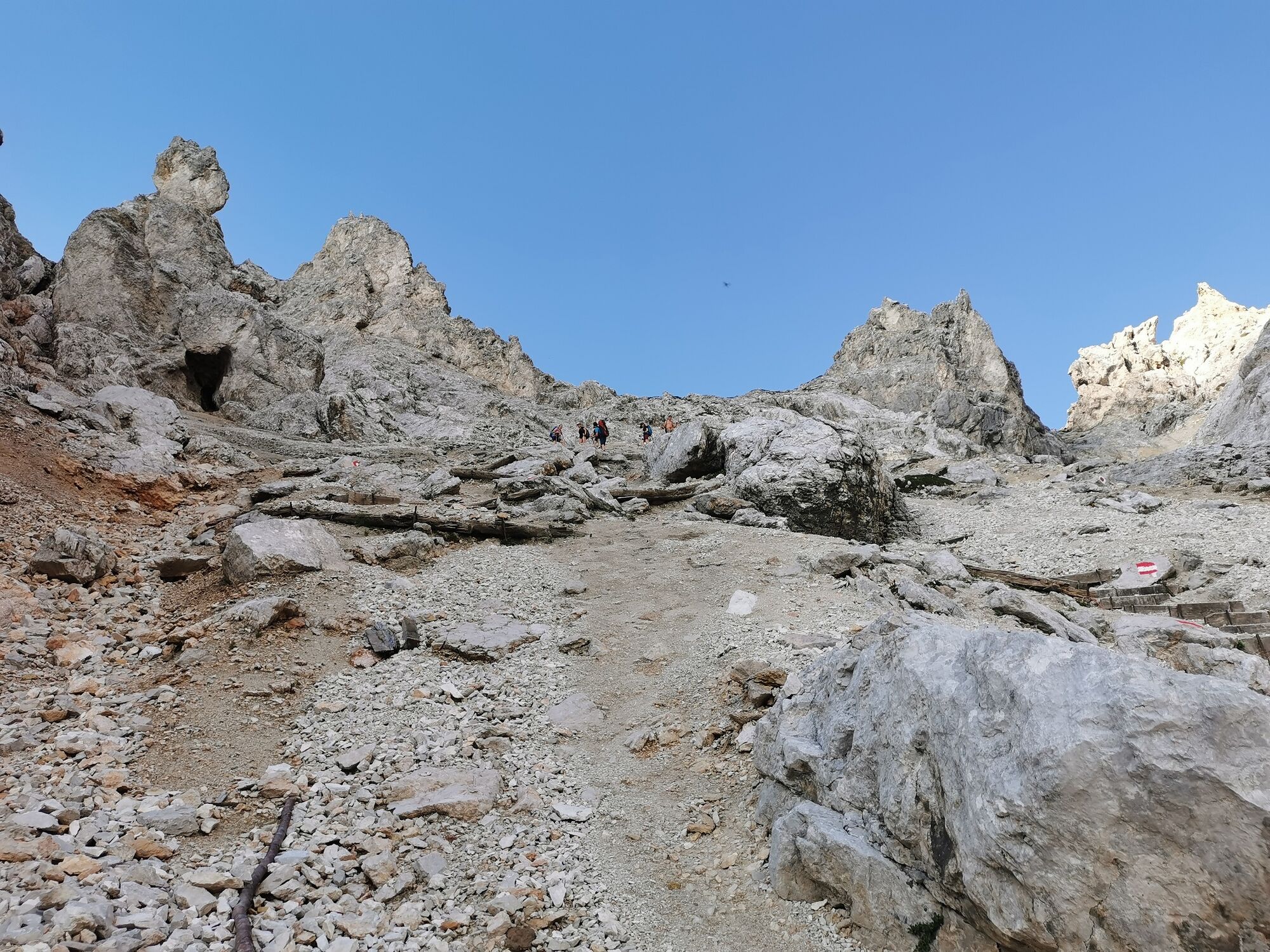
Then follows a short ascent to the Mandlscharte. From here the path leads downhill in serpentines to the Pfeishütte. The hut is open from mid-June to mid-October (overnight accommodation available). Here the Goethe Weg ends.
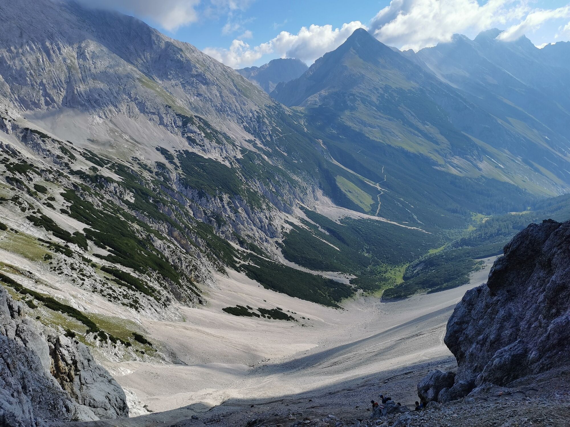
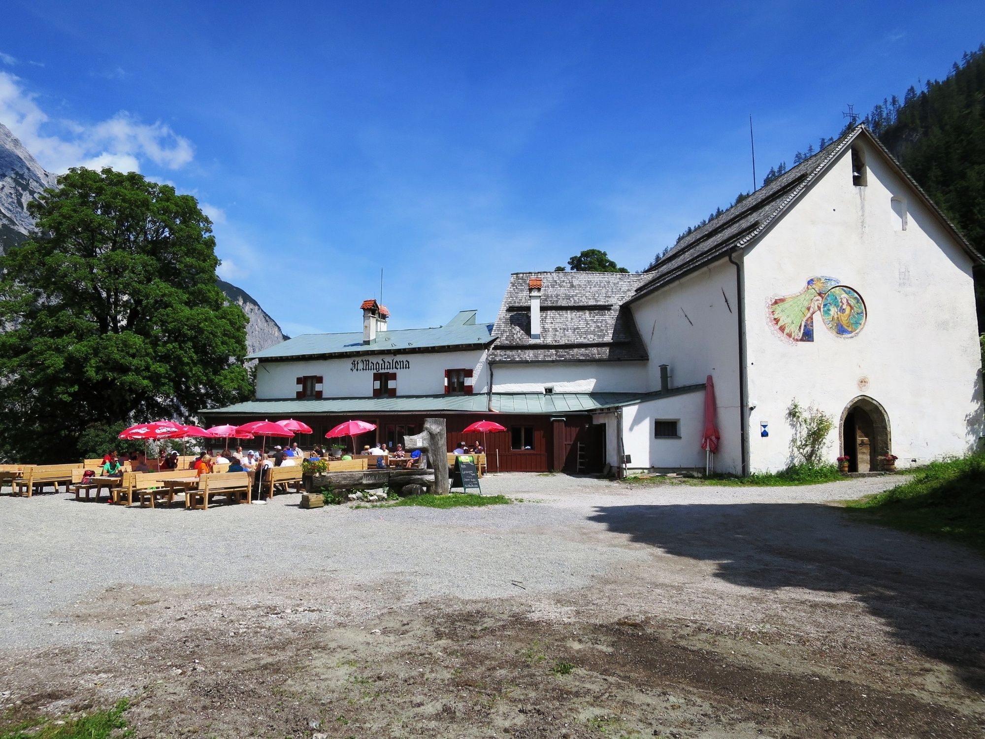
Then the trail continues over the Stempeljoch through the Halltal (manor houses, Berggasthof St. Magdalena) to the entrance to the Halltal to Absam (car park). Afterwards by car, bus or on foot back to the starting point.
Alternative: Alternatively, you can descend via the Arzler Scharte or Arzler Reise or take the trail over the Kreuzjöchl down to the Vintlalm, past the Rumer Alm and back to the valley station of the Nordkettenbahn.
- Highest point
- 2,267 m
- Endpoint
-
Absam, Halltal
- Height profile
-

- Safety instructions
-
Only walk in stable weather conditions!
- Tips
-
Take enough water with you!

-

-
AuthorThe tour Der Goethe Weg in Tirol is used by outdooractive.com provided.