© Tourismusverband Region Hall-Wattens - Hall Wattens
- Brief description
-
The ascent with the help of the Patscherkofel cable car makes this one an easy hike.
Because of the lenght you need nevertheless a basic level of fitness.
- Difficulty
-
medium
- Rating
-
- Route
-
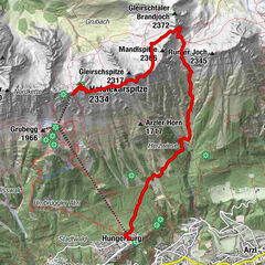
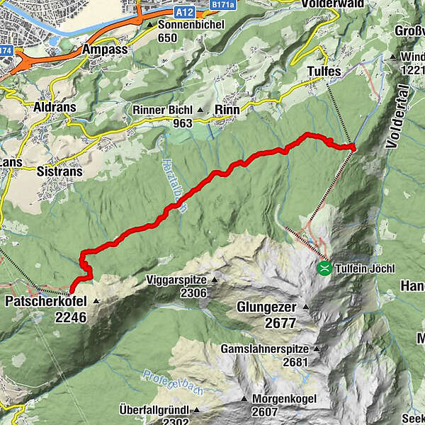
Lanser Alm (1,735 m)1.6 kmSistranser Alm (1,609 m)2.7 kmAldranser Alm (1,511 m)4.7 kmRinner Alm (1,394 m)5.9 km
- Best season
-
JanFebMarAprMayJunJulAugSepOctNovDec
- Description
-
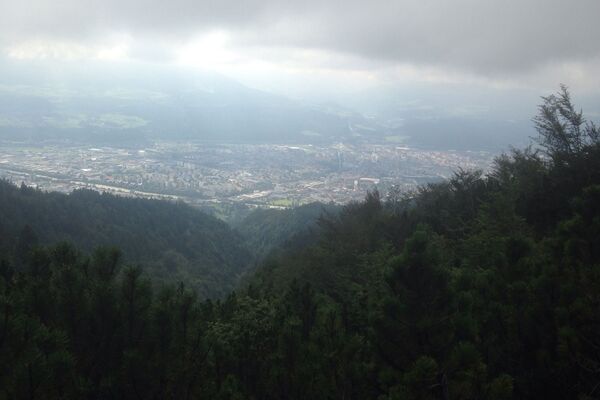
Starting at the summit station of the Patscherkofel cable car this hike leads you via 4 different huts to Tulfes.
Beside of the Stone Pine Path this is one of the most beautiful path to see the Alpine roses in the region. Via the Lanser, Sistanser, Aldranser an Rinner hut this way leads directly down to Tulfes (923m).
- Highest point
- 1,954 m
- Endpoint
-
Tulfes
- Height profile
-

- Public transportation
-
Bus J starting in Innsbruck

-

-
AuthorThe tour Hike to 4 huts - Almenweg 1600 is used by outdooractive.com provided.
GPS Downloads


General info
Refreshment stop
Insider tip
Flora
A lot of view
Other tours in the regions