


- Brief description
-
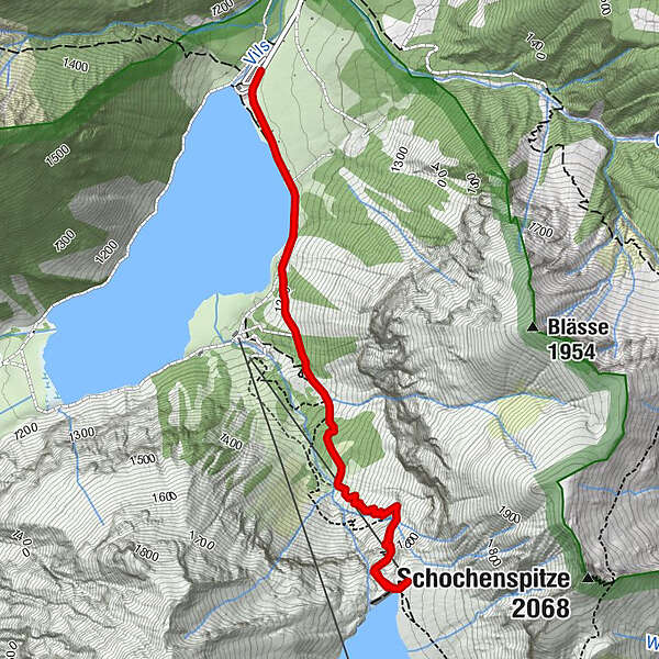
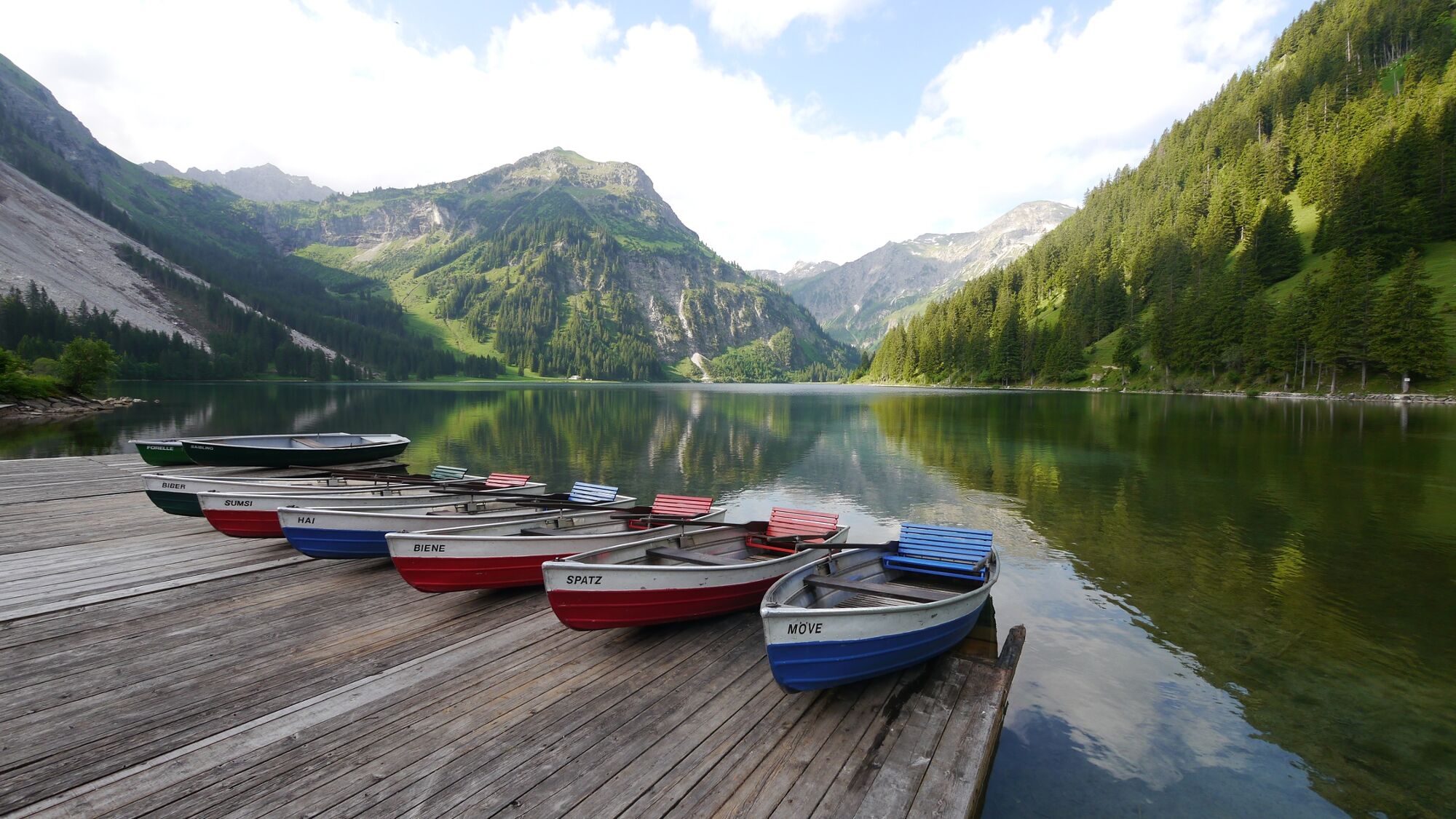
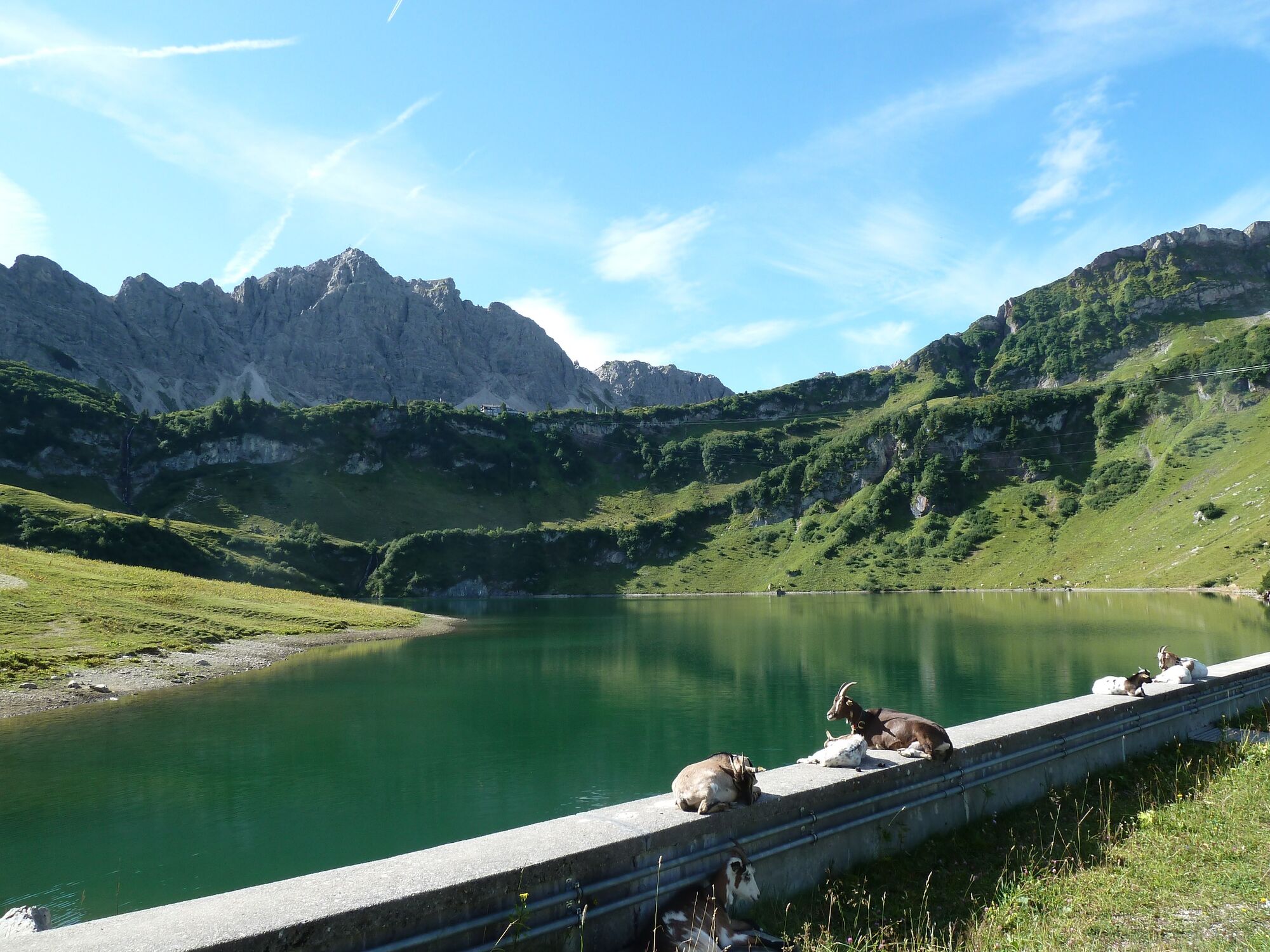
Wonderful tour from Vilsalpsee to Oberen Traualpe.
- Difficulty
-
medium
- Rating
-
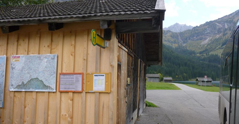
- Starting point
-
Vilsalpsee
- Route
-
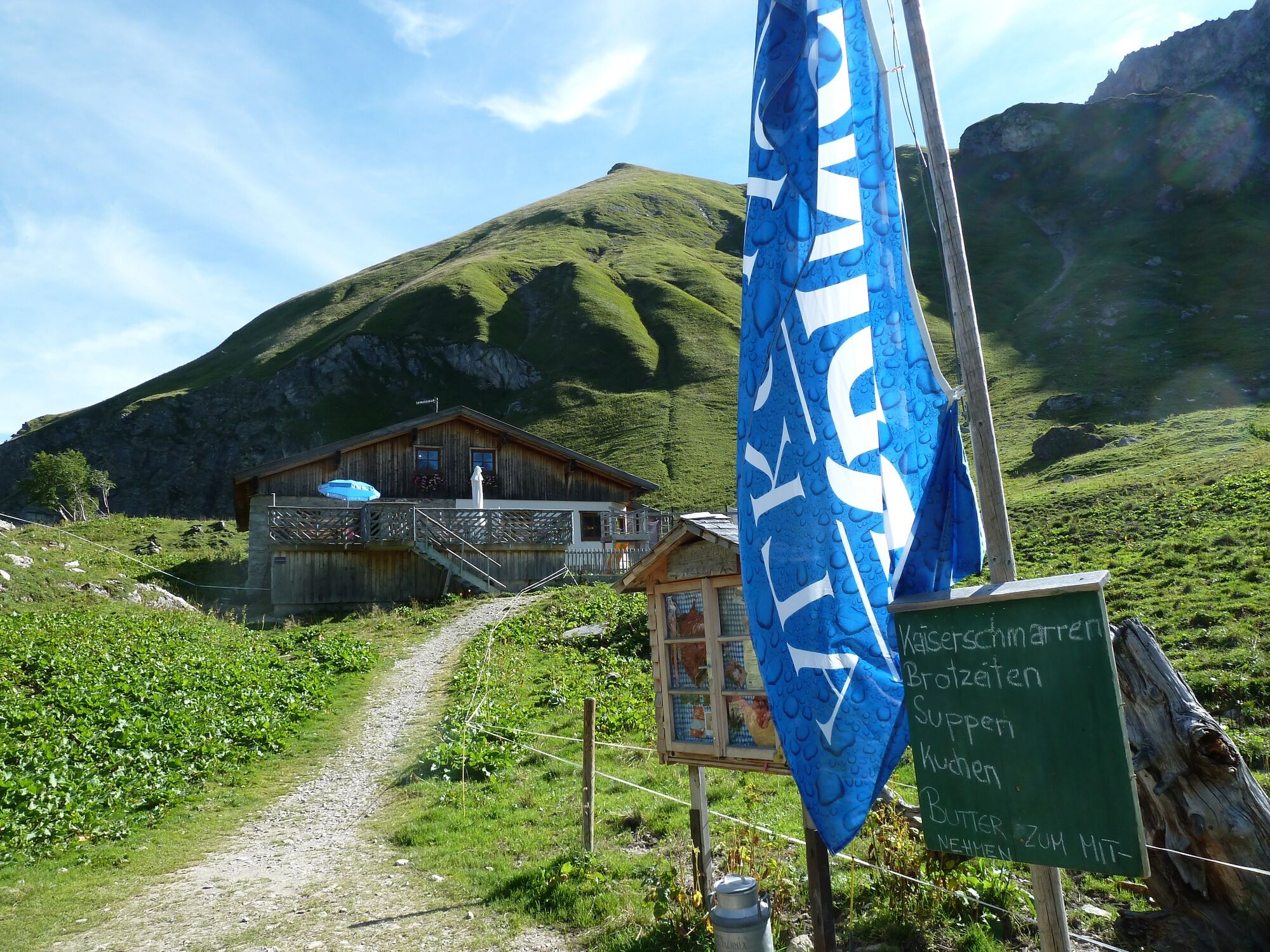
Obere Traualpe2.7 km
- Best season
-
JanFebMarAprMayJunJulAugSepOctNovDec
- Description
-
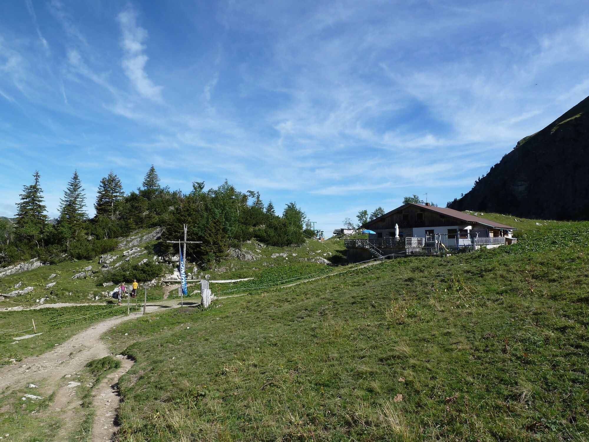
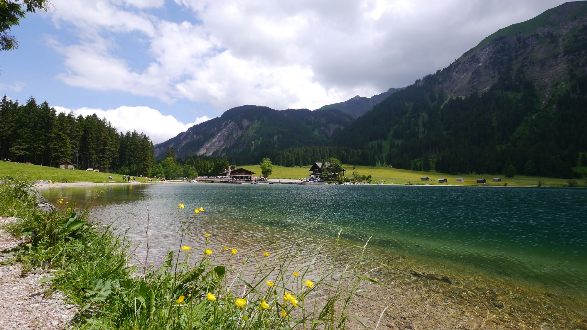
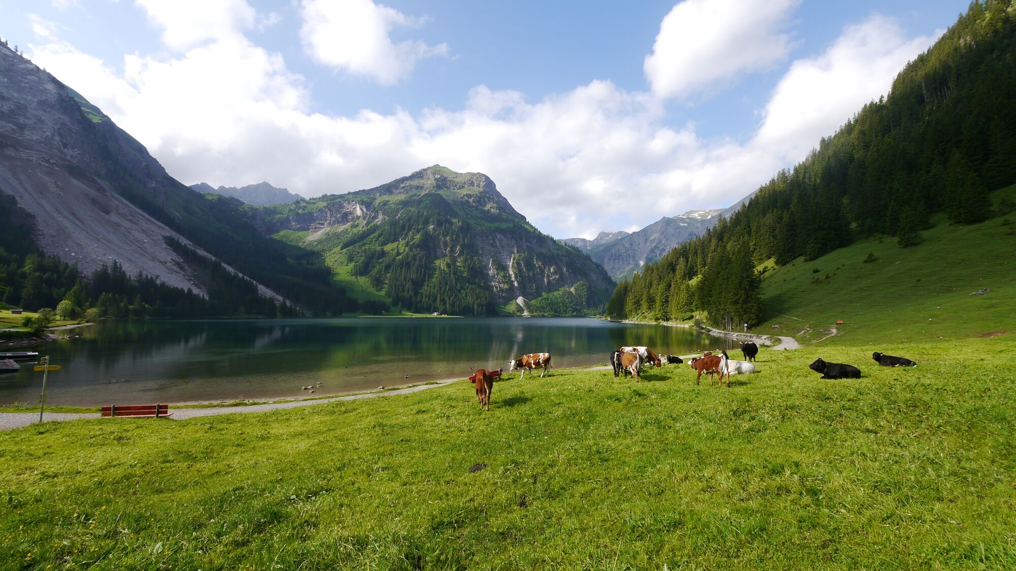
A wonderful hike for the whole family. See for yourself, in the nature reserve Vilsalpsee a fantastic landscape is waiting for you. The hike to the Oberen Traualpe is not difficult but a little bit strenuous. But it is definitely worth it.
- Directions
-
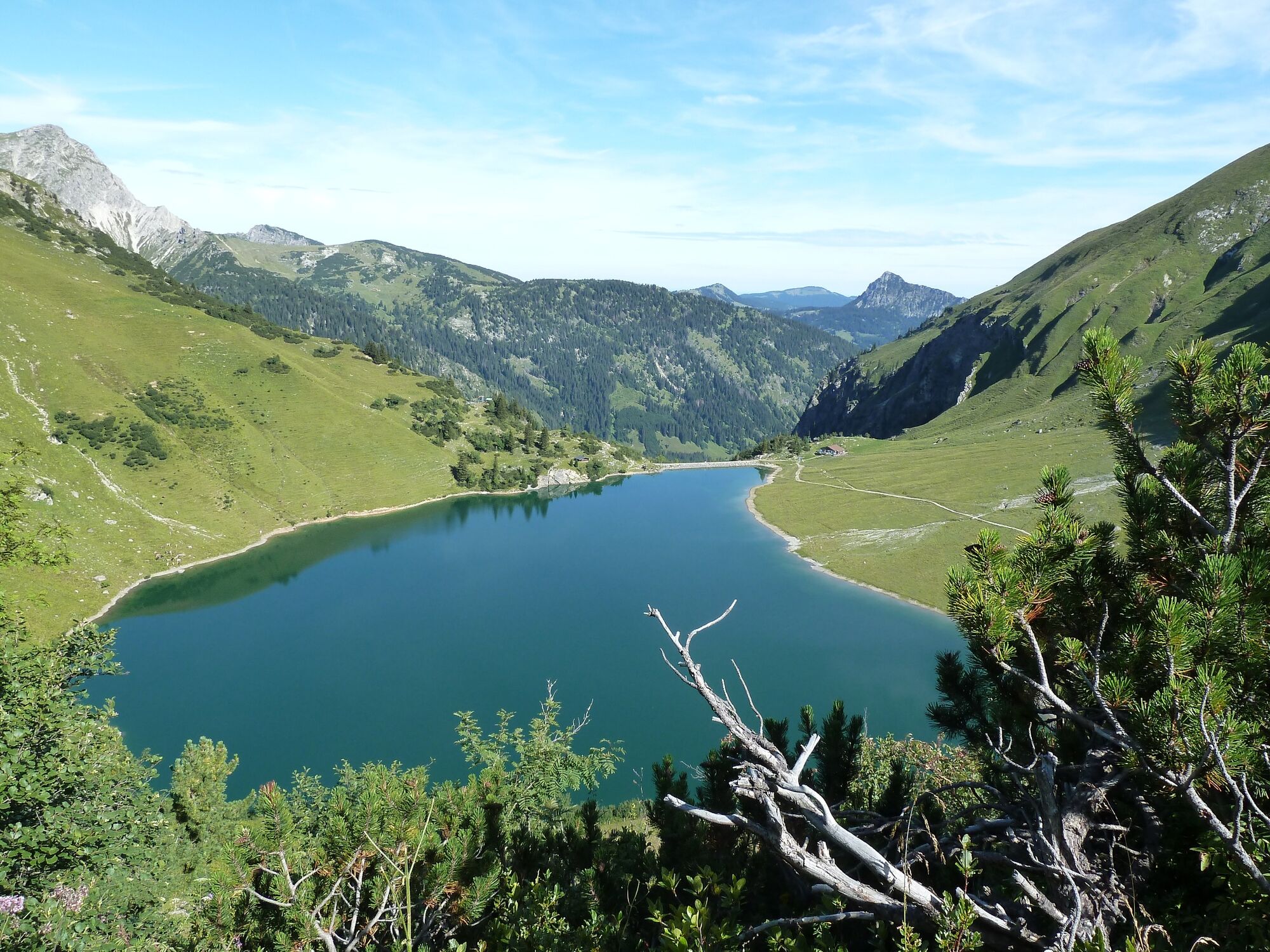
We start from the nature reserve Vilsalpsee. We hike along the western shore back to an unmanaged alpine pasture. Here we follow the signs Traualpe/ Lansberger Hütte. The path leads us first a little through the forest, before we cross the free pasture area several times. The gradient gradually becomes steeper but harmless. After some time we walk along the rock face. When we arrive here the path is not far. When we reach the top, a magnificent mountain panorama opens up. In front of us the Traualpsee and behind it rocky and pointed mountains. Simply wonderful.
- Highest point
- 1,641 m
- Endpoint
-
Vilsalpsee
- Height profile
-

- Equipment
-
The personal mountaineering equipment must be safe and serviceable and meet the relevant technical standards. Every hiker is recommended to obtain information about the planned tours from specialist alpine literature or on site.
- Safety instructions
-
General valid and usual rules of conduct! it should be noted that in mountain sports there is an increased risk of accidents and injuries. Despite careful route planning, a basic risk always remains. Tour preparation through endurance sports, appropriate technical training and further education as well as personal prudence reduces the risk of accidents and injuries. However, please never forget that the weather in the mountains can change very quickly. Stay on the marked hiking trails.
- Tips
-
Enjoy the hearty snacks and homemade delicacies in the Upper Traualpe.
- Directions
-
On the motorway A7 at the exit "Oy-Mittelberg" on the B310 towards Wertach and to Oberjoch. There follow the signposting "Tannheimer Tal" B199, exit Tannheim, Neunerköpfle mountain railway or directly to Vilsalpsee (access, however, closed from 10.00-17.00 o´clock). From the Tyrolean side via Reutte on the B198 towards Lechtal to Weißenbach, over the Gaichtpass along the B199 to the exit Tannheim, Neunerköpfle Bergbahn.
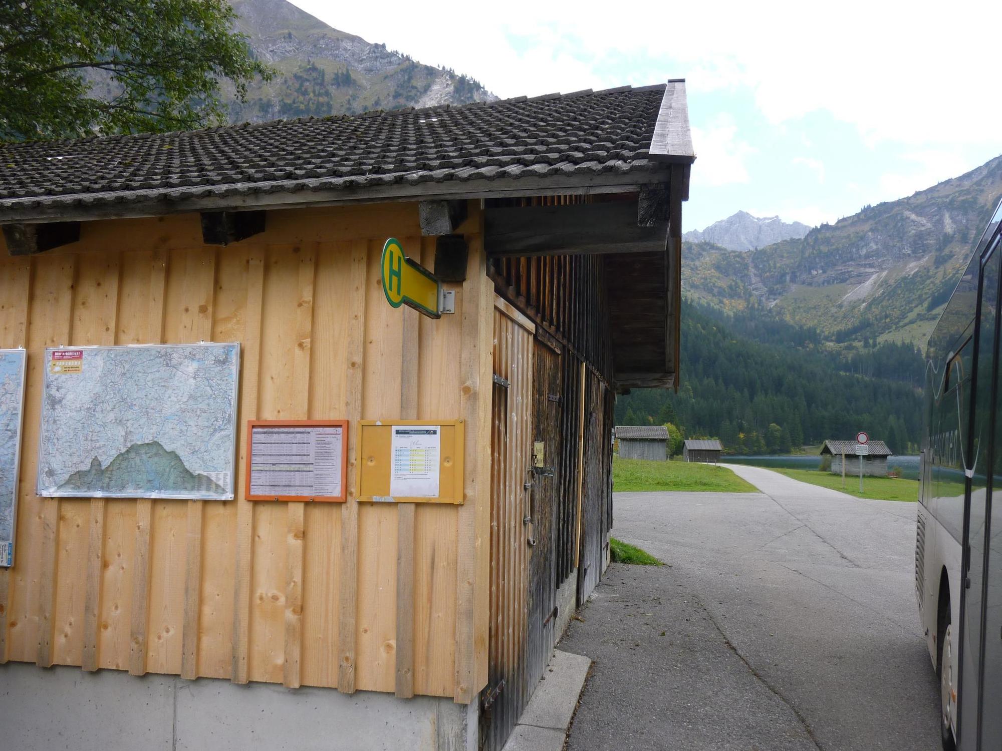
- Public transportation
-
By train to Sonthofen, Pfronten/Ried or Reutte, then by bus to Tannheim.
- Parking
-
At the valley station of the cable car Neunerköpfle or directly at the Vilsalpsee (access closed from 10.00-17.00 o'clock) - with costs


-

-
AuthorThe tour From Vilsalpsee to the Obere Traualpe is used by outdooractive.com provided.


General info
-
Allgäu
2359
-
Tannheimer Tal
1448
-
Tannheim
518


