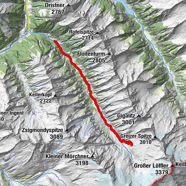
Tour data
19.01km
1,162
- 2,225m
1,045hm
1,064hm
05:58h
- Brief description
-
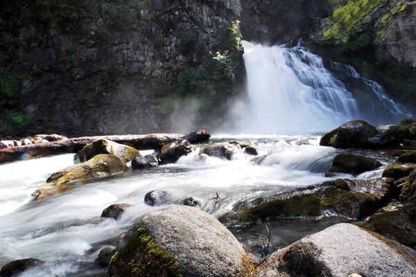
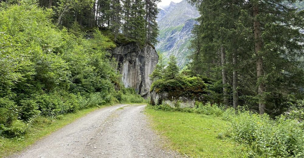
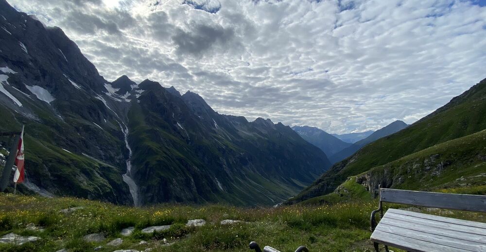
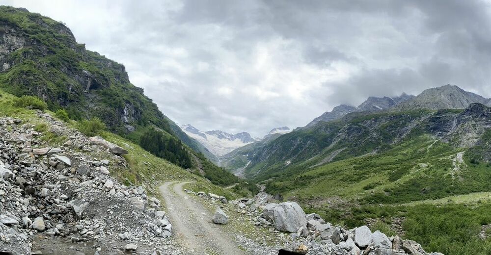
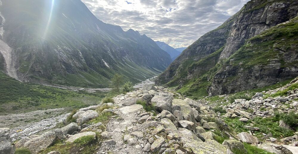
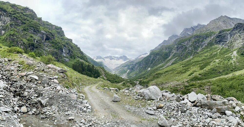
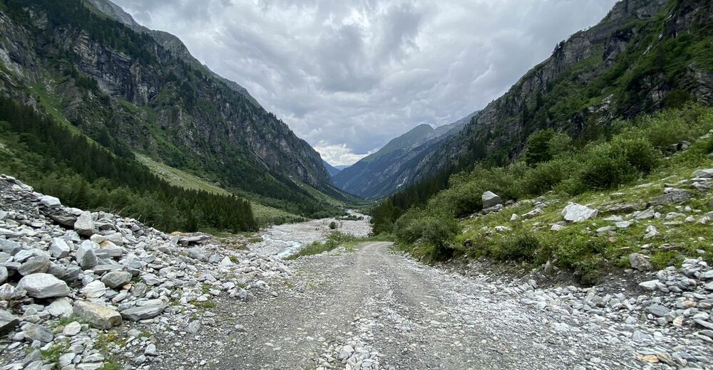
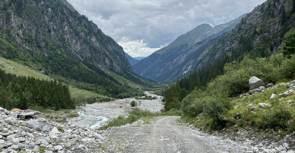
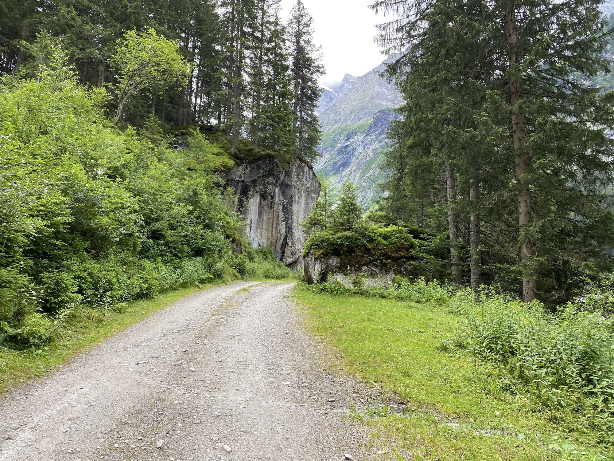
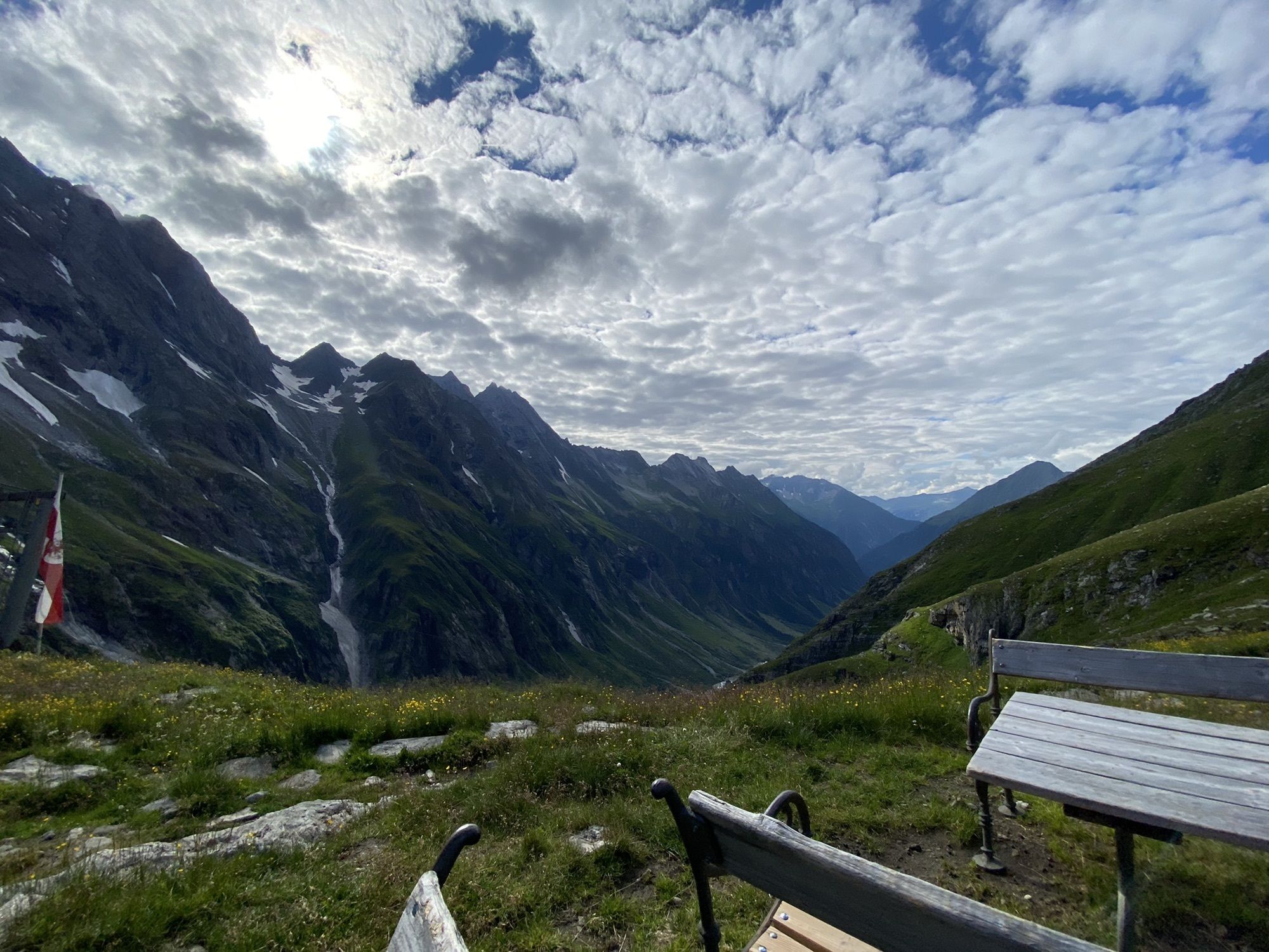
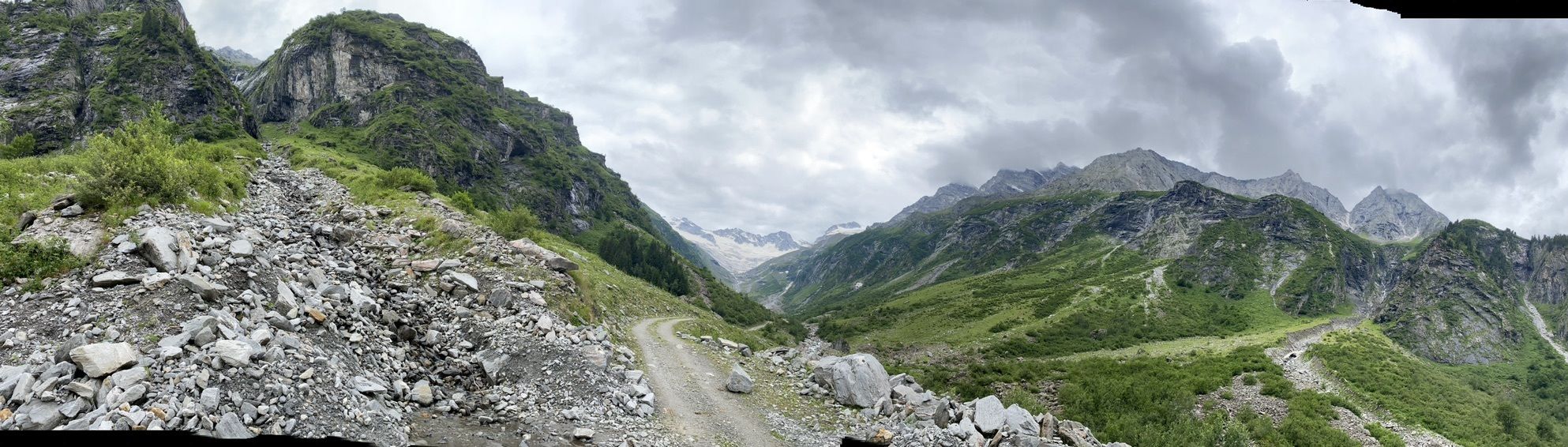
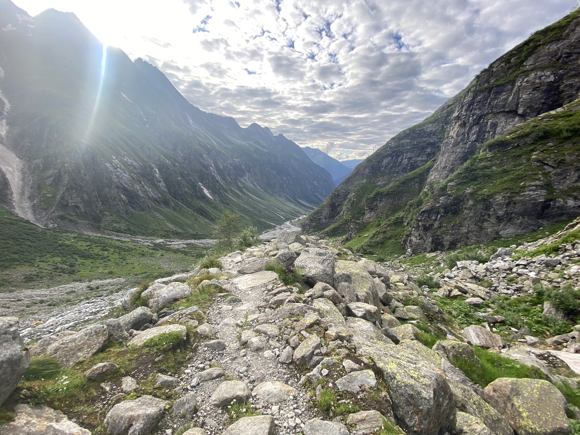
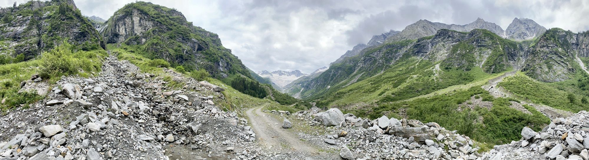
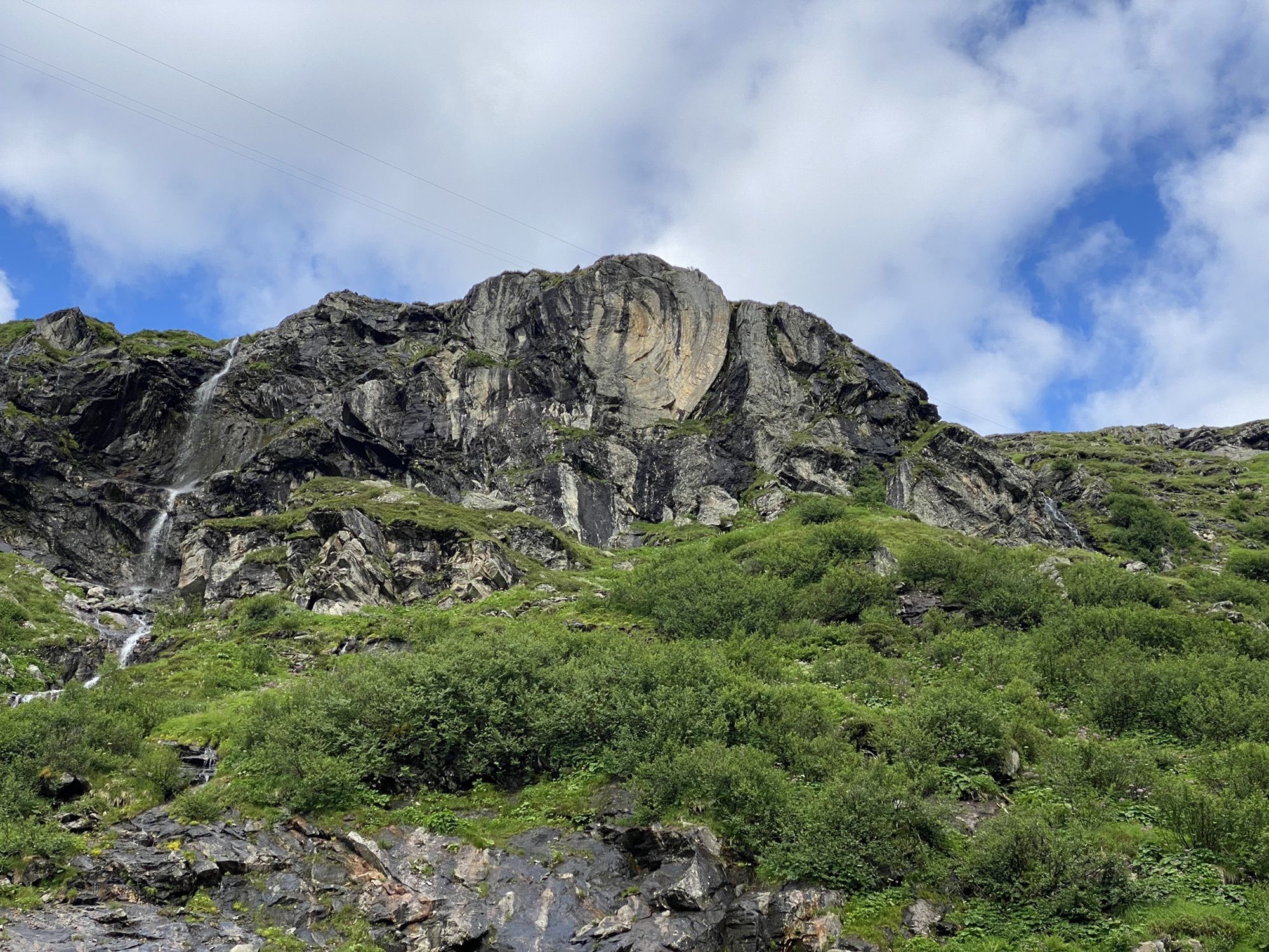
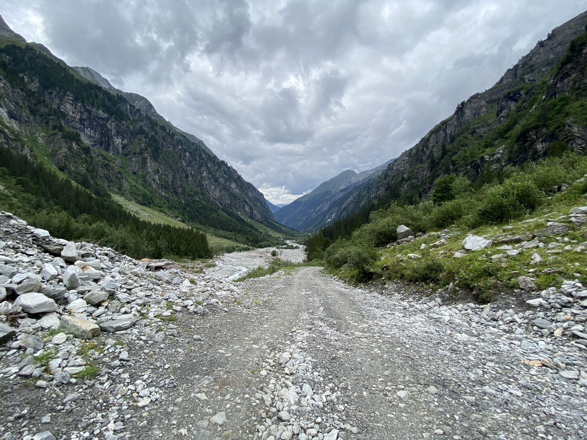
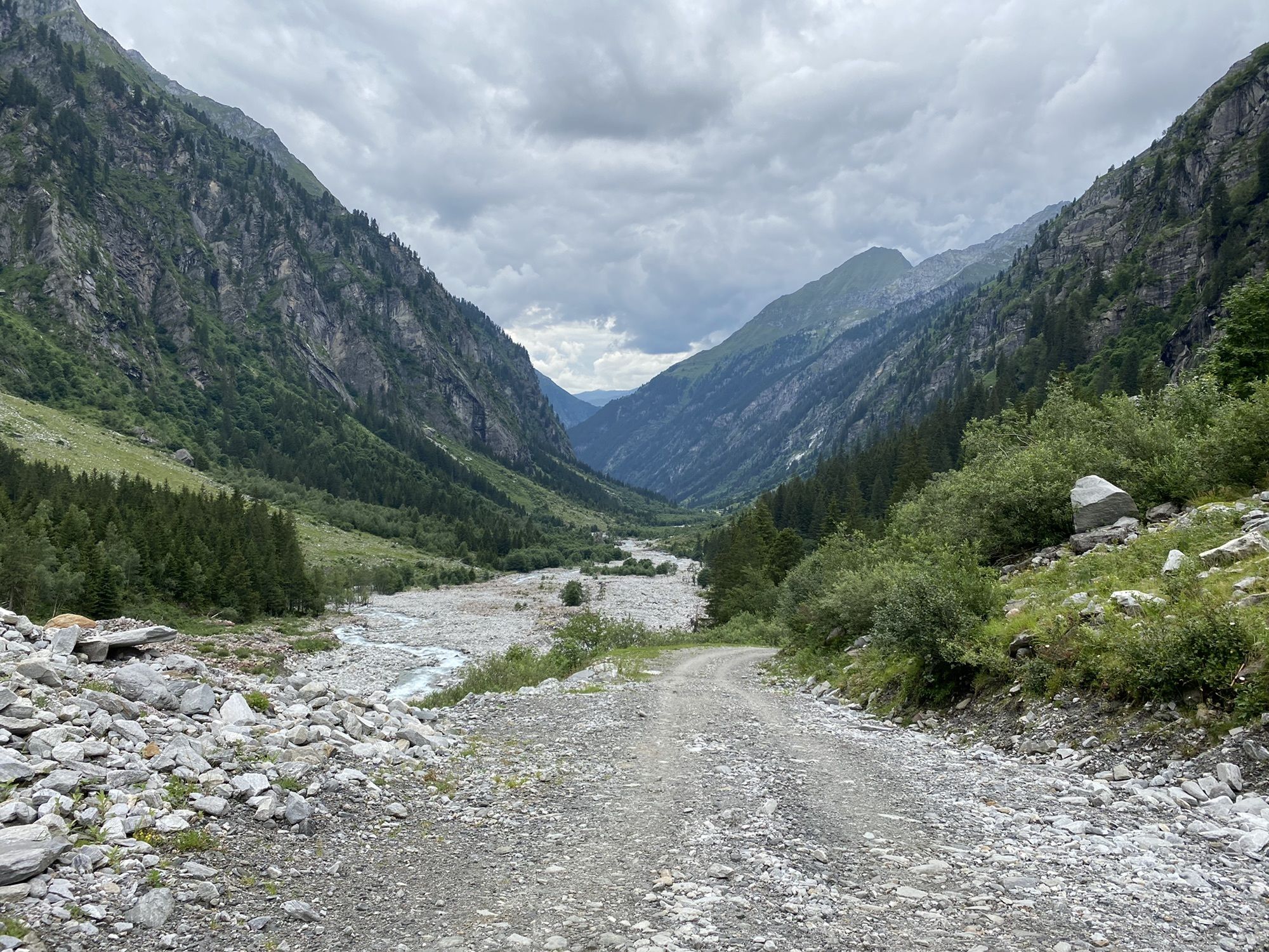
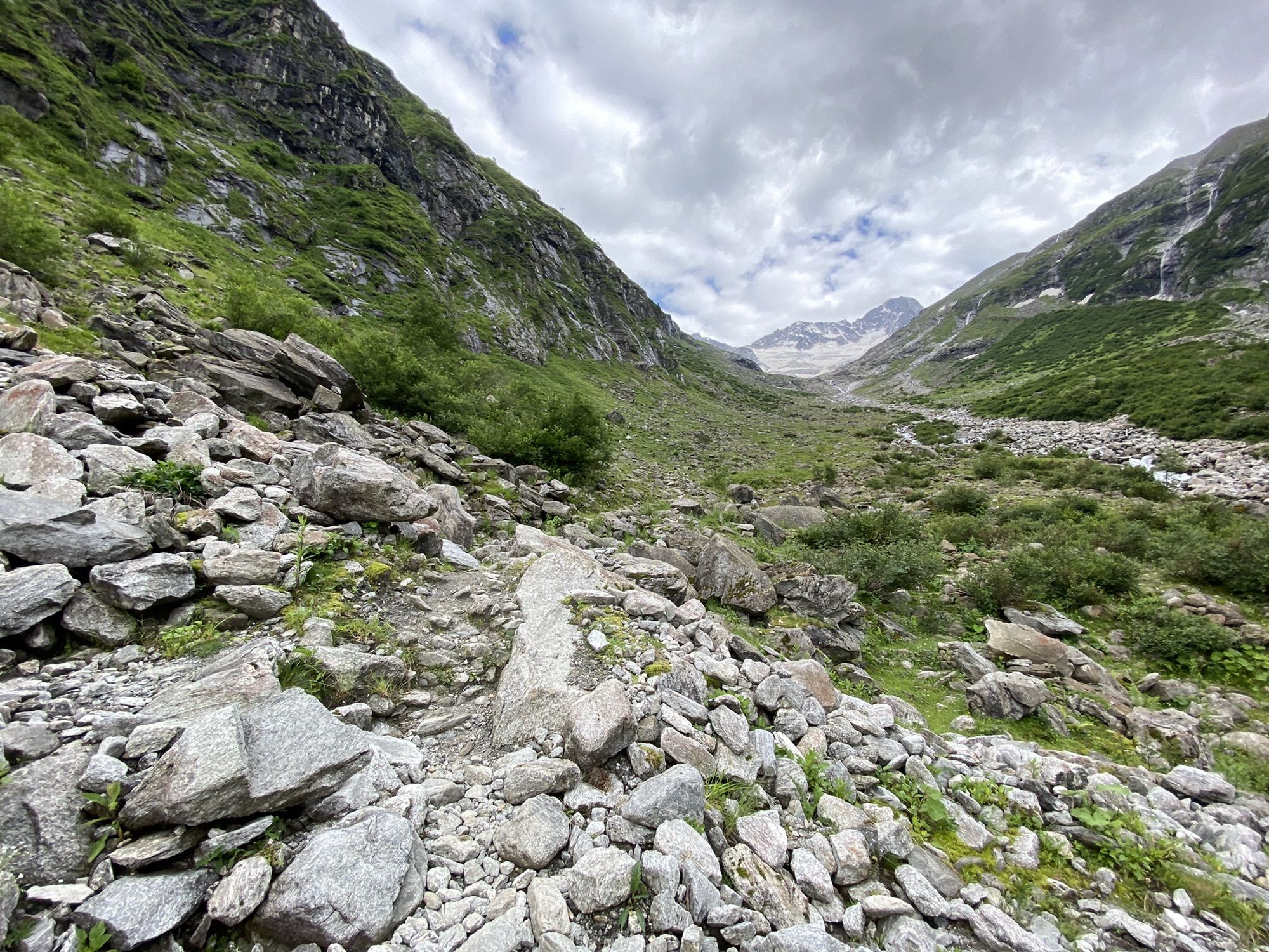
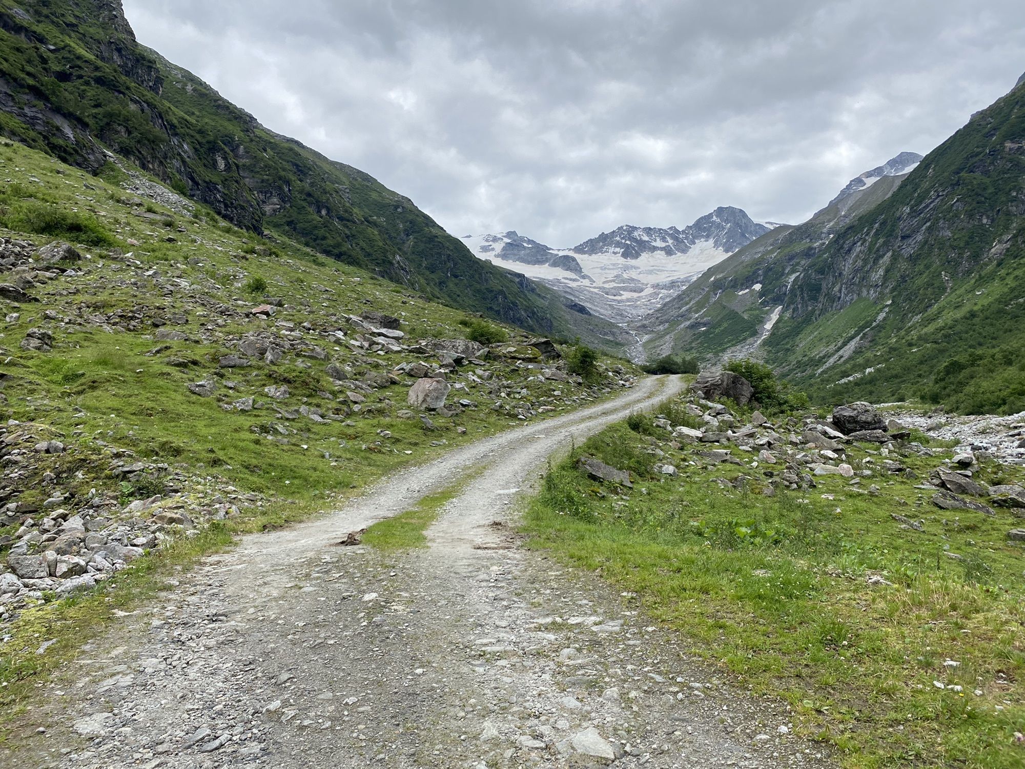
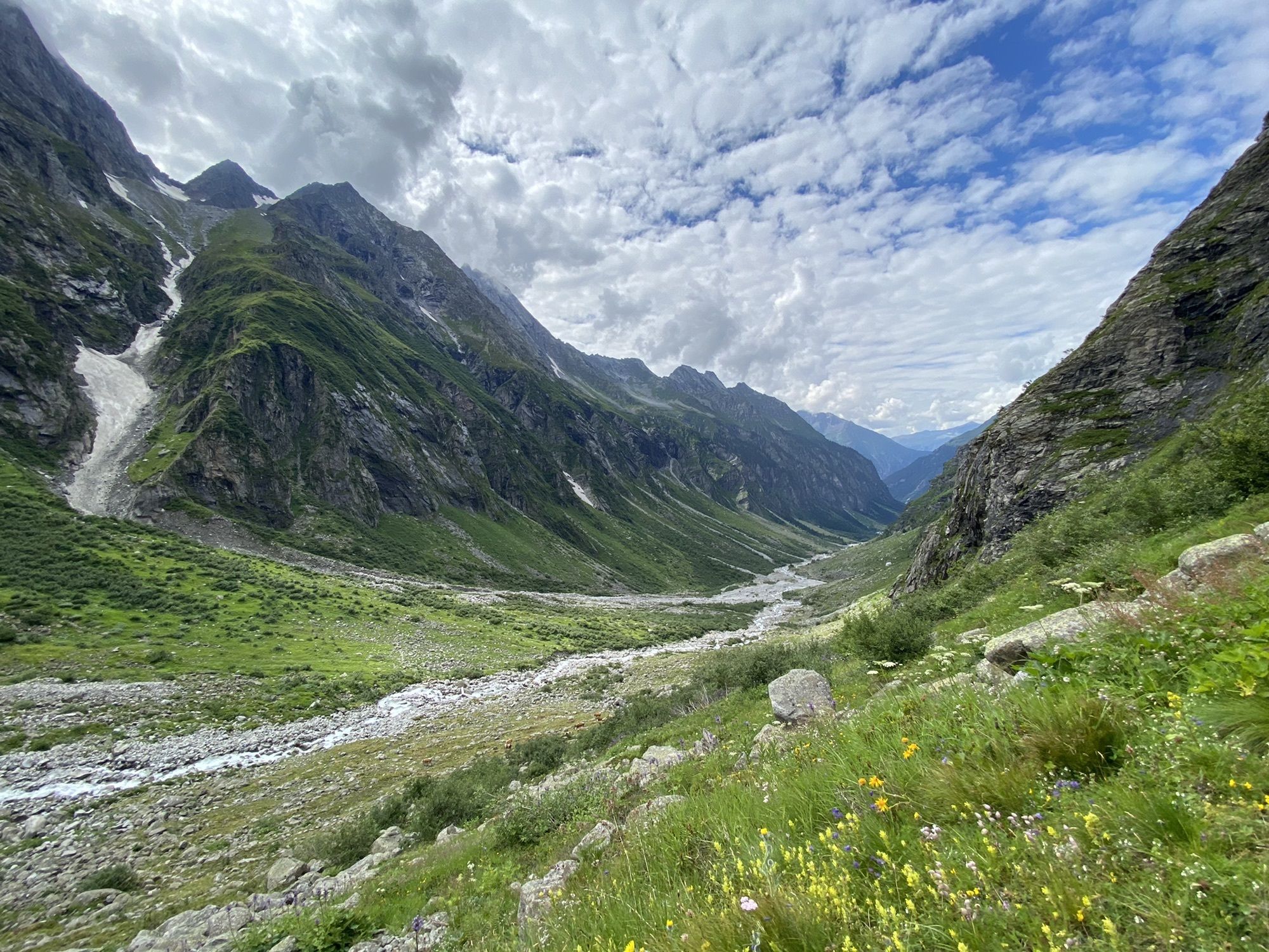
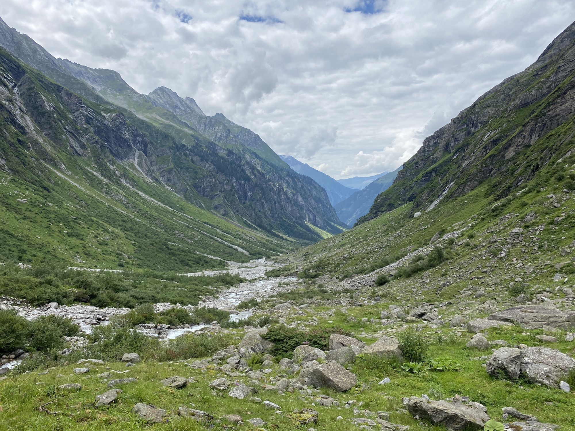
Beautiful hike, starts off flat and easy with a nice steep finish.
- Difficulty
-
medium
- Rating
-
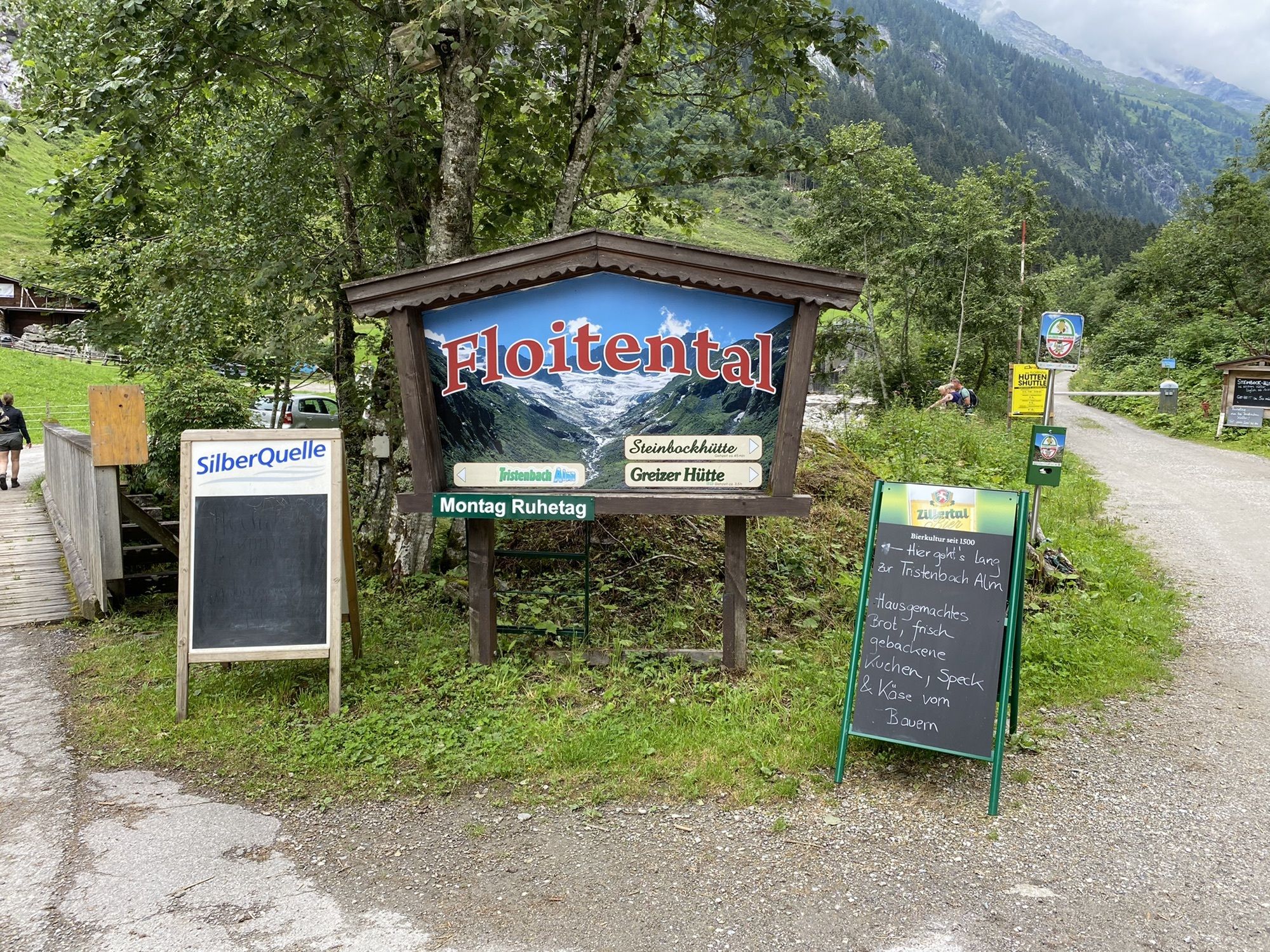
- Route
-
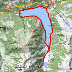
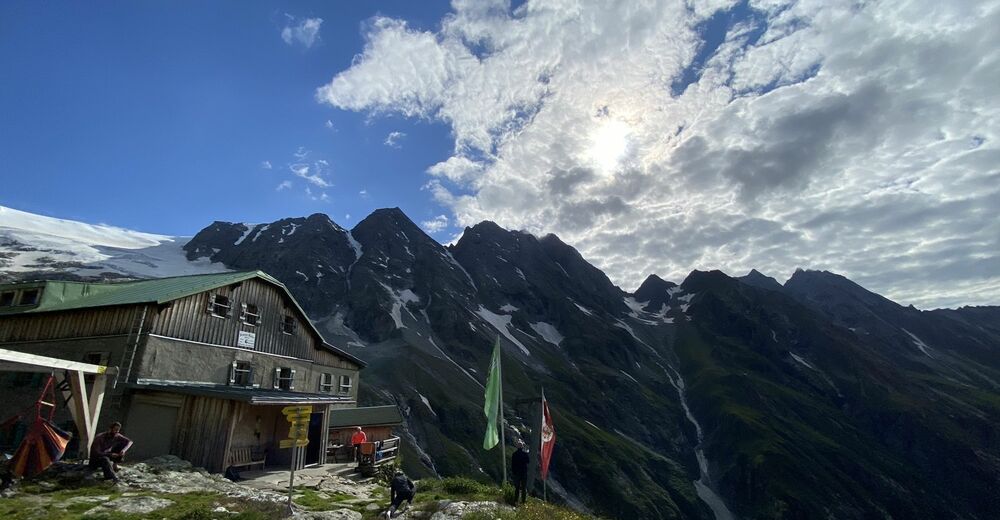
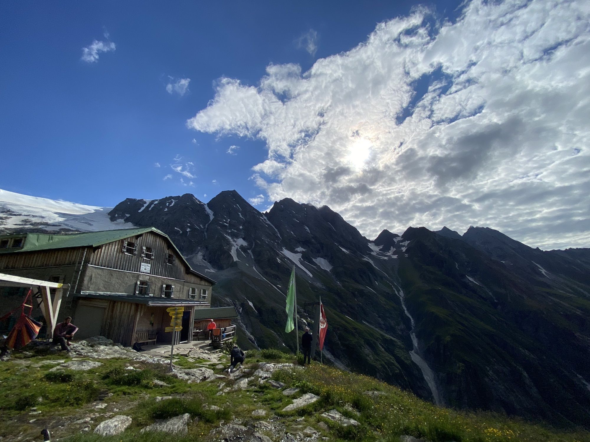
Sulzen Alm1.5 kmSteinbockhütte2.8 kmGreizer Hütte9.6 kmWinterraum Greizer Hütte9.7 kmSteinbockhütte16.1 kmSulzen Alm17.4 km
- Best season
-
JanFebMarAprMayJunJulAugSepOctNovDec
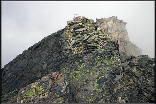
- Highest point
- 2,225 m

GPS Downloads


Other tours in the regions
-
Bruneck und Umgebung / Kronplatz
1799
-
Mayrhofen - Hippach
1023
-
Ginzling
240