Tour of 3 Peaks (Narrenkogel – Poschachkogel – Peistakogel) - Umhausen-Niederthai


- Brief description
-
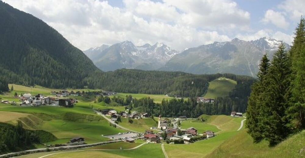
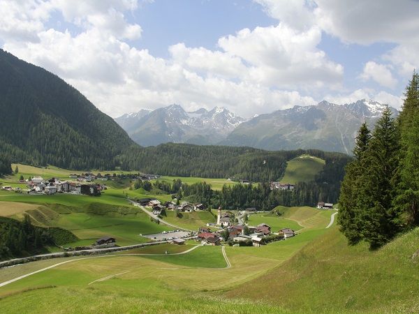
CAR PARK HAMLET SENNHOF (next to the information Niederthai)->Narrenkogel->Poschachkogel->PEISTAKOGEL
- Difficulty
-
medium
- Rating
-
- Starting point
-
car park Sennhof (next to the information)
- Route
-
NiederthaiSennhofNarrenkogel (2,309 m)2.9 kmPoschachkogel (2,574 m)4.8 kmPeistakogel (2,644 m)6.9 km
- Best season
-
JanFebMarAprMayJunJulAugSepOctNovDec
- Description
-
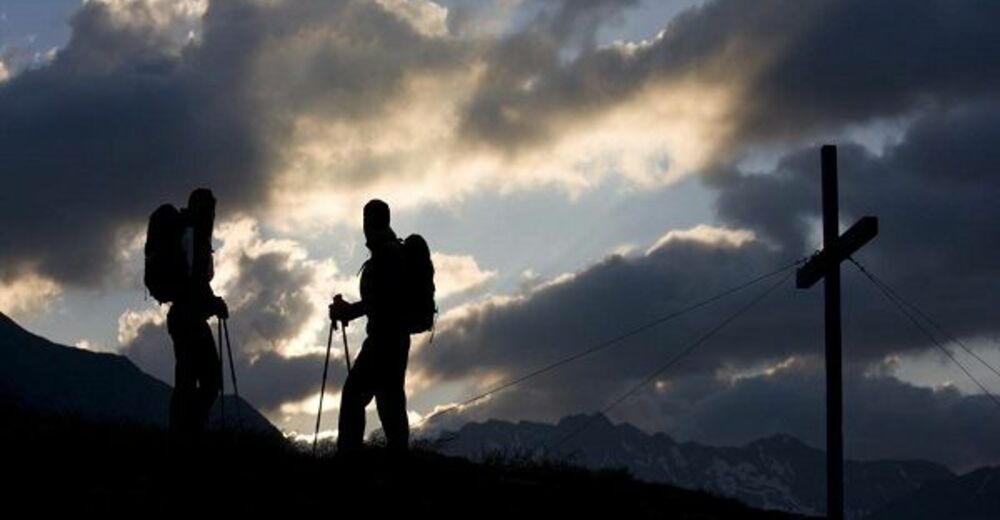
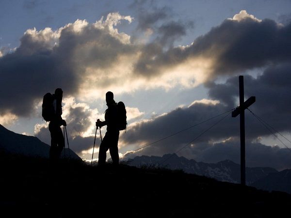
Ascend from Niederthai towards Narrenkogel and continue walking along the mountain ridge to Poschachkogel. After a short rest stop you descend to Grue and ascend again to lake Gruesee. From Gruesee along the Alpine saddleback to Peistakogel - the third summit. Restore your energies here and walk back to Gruejoch col where you start the descent to Finstertaler Sennhütte (not serviced). Now you can either climb up to Schweinfurter Hütte or follow Horlachtalweg trail leading down to Niederthai.
- Directions
-
Ascend from Niederthai towards Narrenkogel and continue walking along the mountain ridge to Poschachkogel. After a short rest stop you descend to Grue and ascend again to lake Gruesee. From Gruesee along the Alpine saddleback to Peistakogel - the third summit. Restore your energies here and walk back to Gruejoch col where you start the descent to Finstertaler Sennhütte (not serviced). Now you can either climb up to Schweinfurter Hütte or follow Horlachtalweg trail leading down to Niederthai.
- Highest point
- 2,641 m
- Endpoint
-
Peistakogel
- Height profile
-

- Equipment
-
Appropriate equipment such as breathable suitable outdoor clothes for the weather, ankle-high walking boots, wind-, rain- & sun protection, hat, possibly gloves, is for all hikes and tours necessary. Please bring a first-aid box, a mobile phone, a walking map and if there is no hut on the way a snack and enough to drink.
- Safety instructions
- Directions
-
The car drive to the Ötztal valley. Situated in Tirol, the Ötztal valley set off in southerly direction and is the longest side valley in the Eastern Alps. The journey with the car leads you through the Inntal valley to the entrance of the valley and further on through the valley. Among the toll motorways you can also use the country roads.
A route planner will show you the easiest and most convenient way: https://www.google.at/maps
- Public transportation
-
Travel safe and comfortable with the train to the Ötztal Bahnhof train station. Last stop and exit point is the train station Ötztal Bahnhof. Afterwards you can travel smoothly and quick with the public transport or our local taxi companies through the valley to your desired destination. Please find the current bus timetable here: http://fahrplan.vvt.at
- Parking
-
The following parking facilities are available in Niederthai:
- Car park hamlet Sennhof, payable from 07:00 to 18:30
- Author
-
The tour Tour of 3 Peaks (Narrenkogel – Poschachkogel – Peistakogel) - Umhausen-Niederthai is used by outdooractive.com provided.


General info
-
Ötztal
1111
-
Niederthai
385


