


- Brief description
-
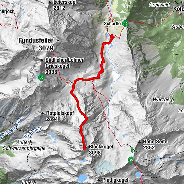
HINTERE FUNDUSALM->Frischmannhütte->BLOCKKOGEL
- Difficulty
-
difficult
- Rating
-
- Starting point
-
Hintere Fundusalm
- Route
-
Frischmannhütte1.9 kmBlockkogel (3,098 m)4.8 km
- Best season
-
JanFebMarAprMayJunJulAugSepOctNovDec
- Description
-
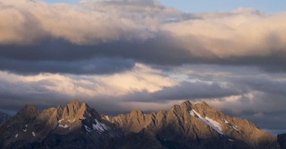
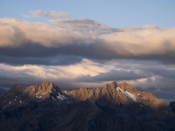
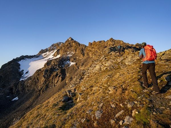
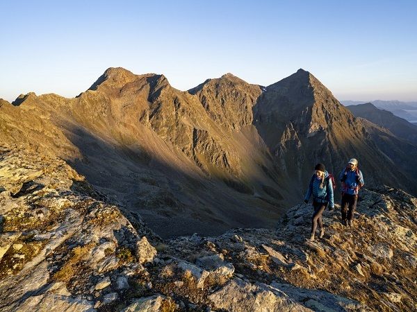
From the Hinteren Fundusalm you hike on a wide driveway to the Frischmann hut. From there you walk through the mountain lawn. On the left side is a way to the direction Blockkogel. Through the rocks you reach flat meadow and from there you follow the way to the summit.
- Directions
-
From the Hinteren Fundusalm you hike on a wide driveway to the Frischmann hut. From there you walk through the mountain lawn. On the left side is a way to the direction Blockkogel. Through the rocks you reach flat meadow and from there you follow the way to the summit.
- Highest point
- 3,069 m
- Endpoint
-
Blockkogel
- Height profile
-

- Equipment
-
Appropriate equipment such as breathable suitable outdoor clothes for the weather, ankle-high walking boots, wind-, rain- & sun protection, hat, possibly gloves, is for all hikes and tours necessary. Please bring a first-aid box, a mobile phone, a walking map and if there is no hut on the way a snack and enough to drink.
- Safety instructions
-
For experienced mountaineers that are free from vertigo & surefooted, Very good physical condition, mountain experience & mountain equipment (see notice equipment) necessary, such as alpine security material, good weather conditions recommended.
Please pay attention to the current weather report: https://www.oetztal.com/de/sommer.html
- Directions
-
The car drive to the Ötztal valley. Situated in Tirol, the Ötztal valley set off in southerly direction and is the longest side valley in the Eastern Alps. The journey with the car leads you through the Inntal valley to the entrance of the valley and further on through the valley. Among the toll motorways you can also use the country roads.
A route planner will show you the easiest and most convenient way: https://www.google.at/maps
- Public transportation
-
Travel safe and comfortable with the train to the Ötztal Bahnhof train station. Last stop and exit point is the train station Ötztal Bahnhof. Afterwards you can travel smoothly and quick with the public transport or our local taxi companies through the valley to your desired destination. Please find the current bus timetable here: http://fahrplan.vvt.at
- Parking
-
The following parking facilities are available in Umhausen:
- Car park Mure, free of charge

- Author
-
The tour Blockkogel - Umhausen-Niederthai is used by outdooractive.com provided.


General info
-
Pitztal
1065
-
St. Leonhard im Pitztal
332


