- Brief description
-
SAUTENS -> Haderlehn -> Knappensteig -> Bachfalle -> Karalm -> Bloße -> retour SAUTENS
- Difficulty
-
medium
- Rating
-
- Starting point
-
Sautens
- Route
-
Sautens (812 m)Blosse (2,536 m)5.5 km
- Best season
-
JanFebMarAprMayJunJulAugSepOctNovDec
- Description
-
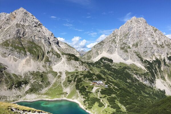
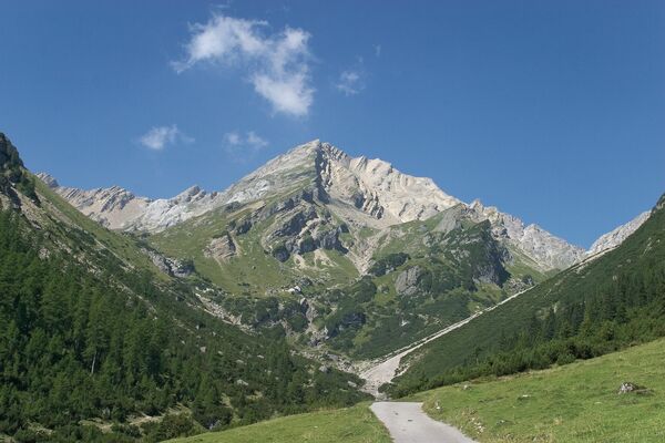
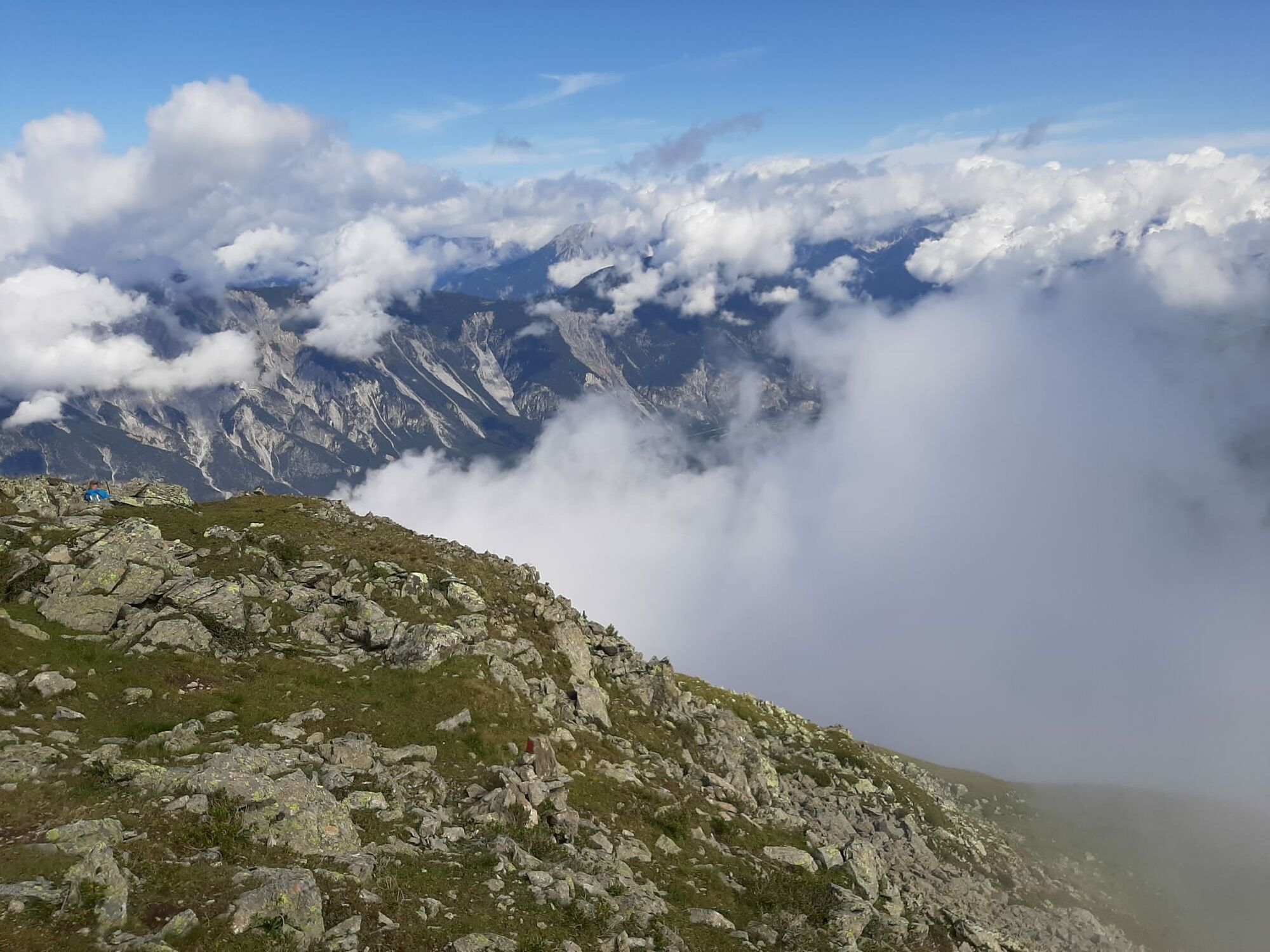
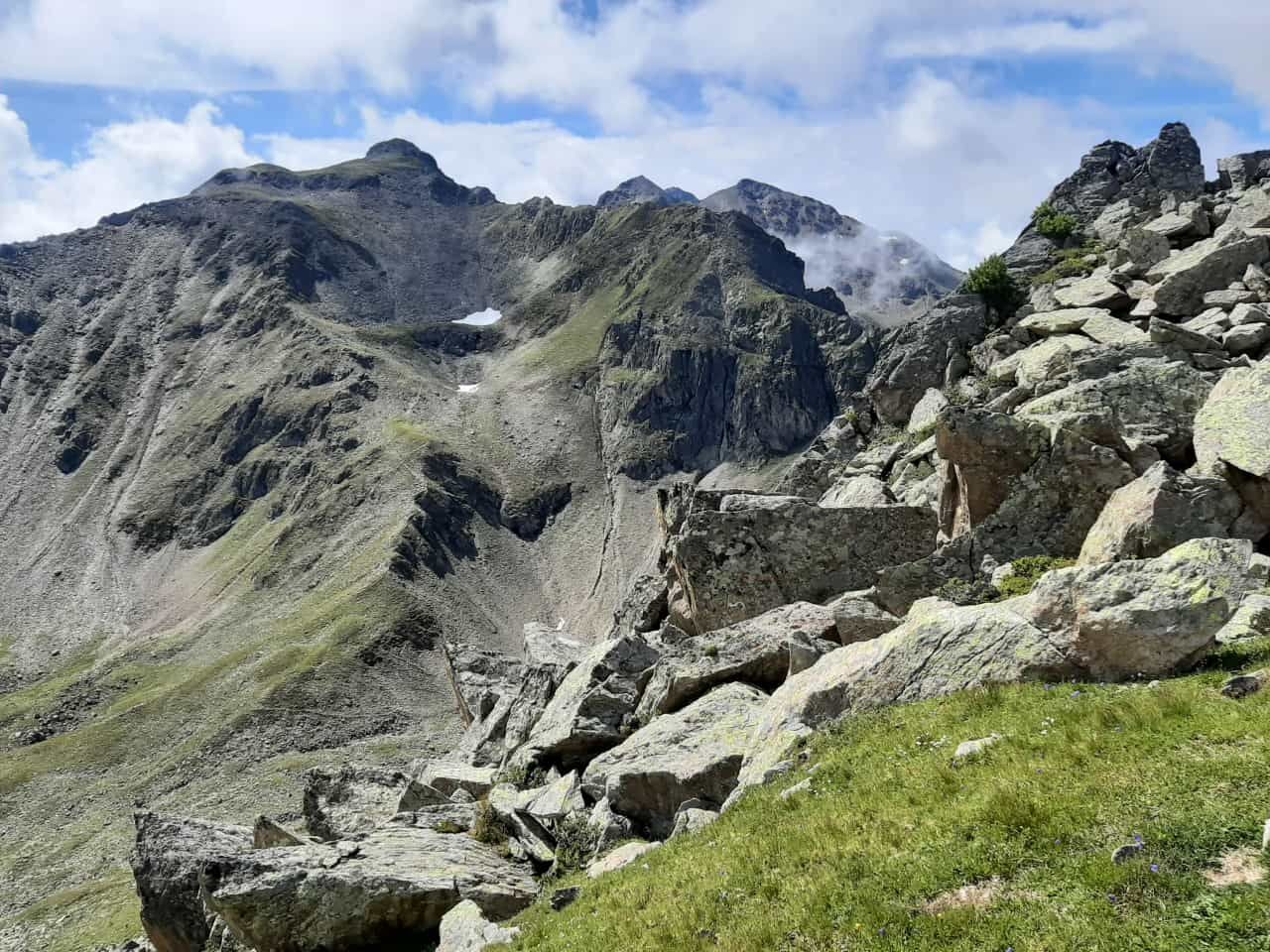
The trailhead of this tour is the hamlet of Haderlehn above Sautens. Here you follow the moderately climbing Knappensteig footpath through the forest, past the sacrificial site and the cold rock fissures until you cross the forest trail. At the turning place you take the steep forest path, crossing the brooklet, then further on to Karalm 2122 m (not serviced). The fountain in front of the hut is the place to refill yourwater bottle! Continue to the peak of Blosse 2536 m. Enjoy superb view o fSautens, Oetz incl. Hochoetz and the central Inntal Valley towards Imst. Walk back the same way - no round trip
- Directions
-
The trailhead of this tour is the hamlet of Haderlehn above Sautens. Here you follow the moderately climbing Knappensteig footpath through the forest, past the sacrificial site and the cold rock fissures until you cross the forest trail. At the turning place you take the steep forest path, crossing the brooklet, then further on to Karalm 2122 m (not serviced). The fountain in front of the hut is the place to refill yourwater bottle! Continue to the peak of Blosse 2536 m. Enjoy superb view o fSautens, Oetz incl. Hochoetz and the central Inntal Valley towards Imst.
- Highest point
- 2,498 m
- Endpoint
-
Sautens
- Height profile
-

- Equipment
-
Appropriate equipment such as breathable suitable outdoor clothes for the weather, ankle-high walking boots, wind-, rain- & sun protection, hat, possibly gloves, is for all hikes and tours necessary. Please bring a first-aid box, a mobile phone, a walking map and if there is no hut on the way a snack and enough to drink.
- Safety instructions
-
Moderate mountain trail; for sure-footed and experienced hikers. Good physical condition, mountain experience & mountain equipment (see notice equipment) necessary. Please pay attention to the current weather report: www.oetztal.com
- Additional information
-
Mehr Infos über Wandern im Ötztal: www.oetztal.com/wandern
- Directions
-
The car drive to the Ötztal valley. Situated in Tirol, the Ötztal valley set off in southerly direction and is the longest side valley in the Eastern Alps. The journey with the car leads you through the Inntal valley to the entrance of the valley and further on through the valley. Among the toll motorways you can also use the country roads. A route planner will show you the easiest and most convenient way: www.google.at/maps
- Public transportation
- Parking
-
The following parking facilities are available in Sautens:
- directly in front of the town hall - free of charge
- right after the big bridge (turnoff B186) on the big gravel parking lot - free of charge
- at the sports field / Kalkofen - free of charge
- in front of the elementary school / kindergarden, Kirchblickweg - free of charge


- Author
-
The tour Mountain peak Blosse is used by outdooractive.com provided.


General info
-
Outdoorregion Imst
1228
-
Sautens
335