- Brief description
-
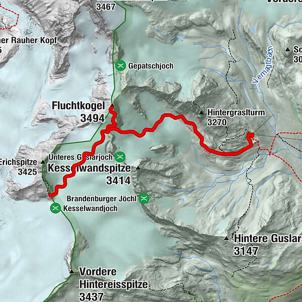
Brandenburger Haus (3.274 m) –> Fluchtkogel (3.497 m) –> Vernagthütte (2.755 m)
- Difficulty
-
difficult
- Rating
-
- Starting point
-
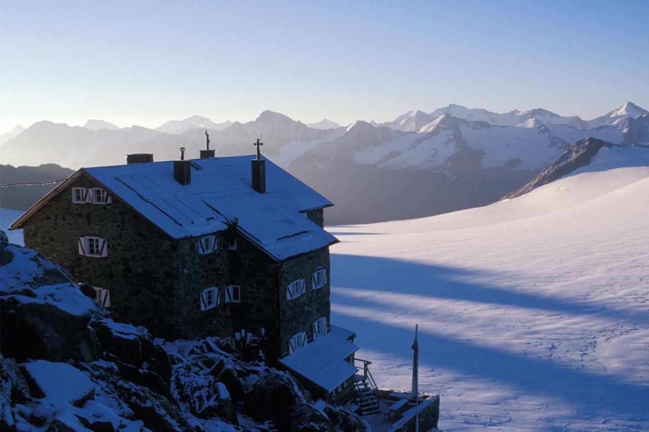
Brandenburger Haus
- Route
-
Brandenburger Haus0.0 kmFluchtkogel (3,494 m)2.5 kmOberes Guslarjoch (3,316 m)3.1 kmVernagthütte6.6 km
- Best season
-
JanFebMarAprMayJunJulAugSepOctNovDec
- Description
-
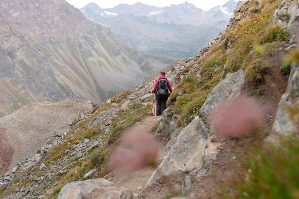
Route: Climbing, path Requirements: tread safety, dizziness, high alpine experience; Mountain path black, intermittent alpine route Difficulties: Passage over boiler wall, Guslarferner and over glacier slope from the yoke to the escape creek (in each case columns); Mountain guide recommended Equipment: usually crampons, pimples; In any case rope; Climbing on the glacier Huts: Brandenburger Haus, Vernagt Hut Acess / exit point: from Vent through the Rofental to Hochjoch Hospiz,
from Hochjoch Hospiz via Deloretteweg and Kesselwandferner to Brandenburger House (about 6 h ascent, approx. 4,5 h descent)
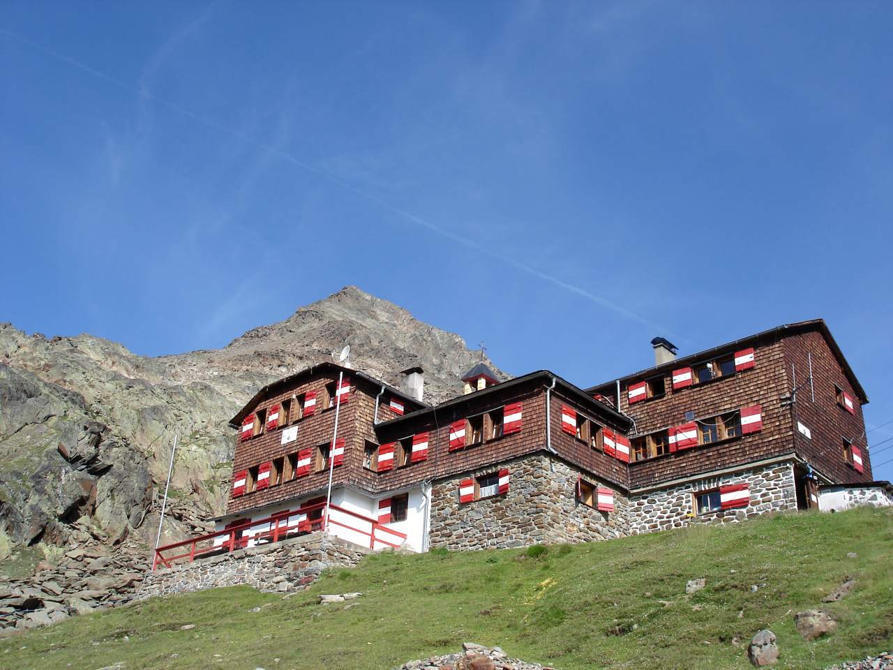
From Vent via the Vernagtegg to Vernagthütte (about 3.5 h ascent, about 2.5 h descent) - Directions
-
THE GLACIER CASTLE PLUS A SUPERB SUMMIT
From Brandenburger Haus the trail descends (some 50 meters of altitude change) through boulders and rubble to Kesselwandferner and crosses the glacier in a northeastern direction towards Oberes Guslarjoch. It’s only another 150 altitude meters up to Oberes Guslarjoch ridge from 3.497 m tall Fluchtkogel peak: it offers fabulous views and is an absolute must!
Back at Oberes Guslarjoch, you descend through steep terrain down to Guslarferner glacier. The trail levels out and continues flat across the first glacier field until you reach a hill which has to be climbed (beware of crevasses here!). After another fairly steep slope the route descends in a south-eastern direction. The last part of the trail takes you through moraine terrain and along the moraine ridge down to Vernagthütte. - Highest point
- 3,469 m
- Endpoint
-
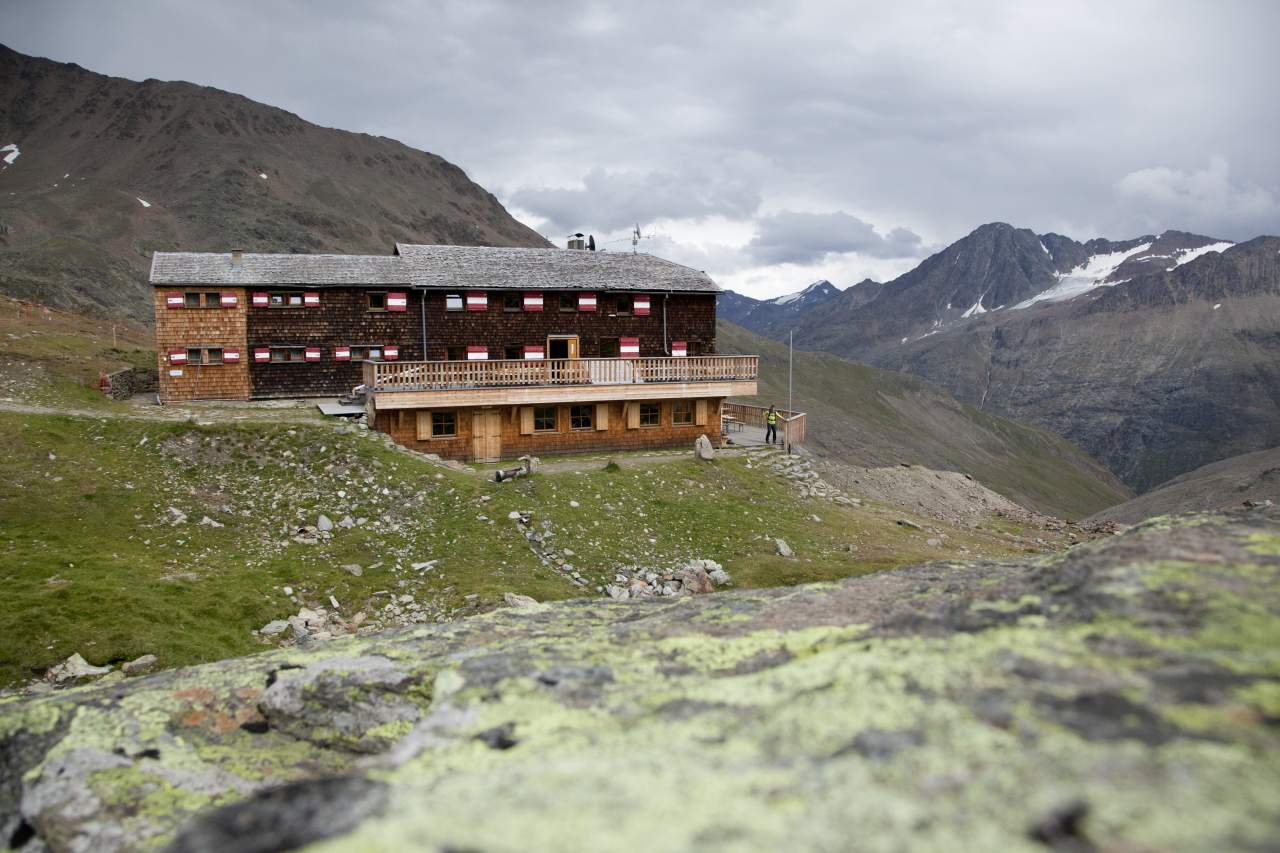
Vernagthütte
- Height profile
-

- Equipment
-
It is recommended to wear hiking equipment such as breathable and weather-adapted outdoor clothing, ankle-high mountain boots, wind, rain and sun protection, cap and possibly gloves. It is also important to have enough food, as well as a first-aid package, a cell phone and a hiking map.
- Additional information
- Directions
- Public transportation
- Parking
-
The following parking facilities are available in Vent:
In front of the village and at the valley station from the chair lift (payable)


- Author
-
The tour Ötztal Trek Stage 15 is used by outdooractive.com provided.


General info
-
Vinschgau
1285
-
Schnalstal
596
-
Kaunertaler Gletscher
109