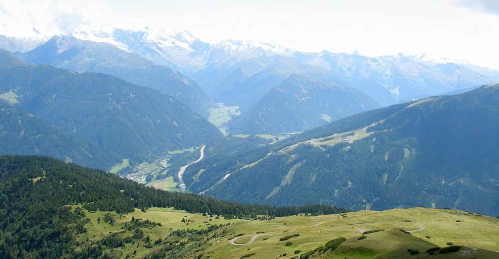
© (c) TVB Wipptal - Michaela Stockner
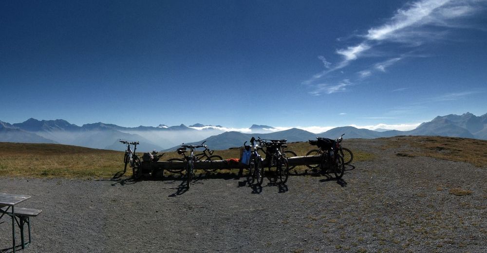
© Martina Gstrein - Judith Gstrein
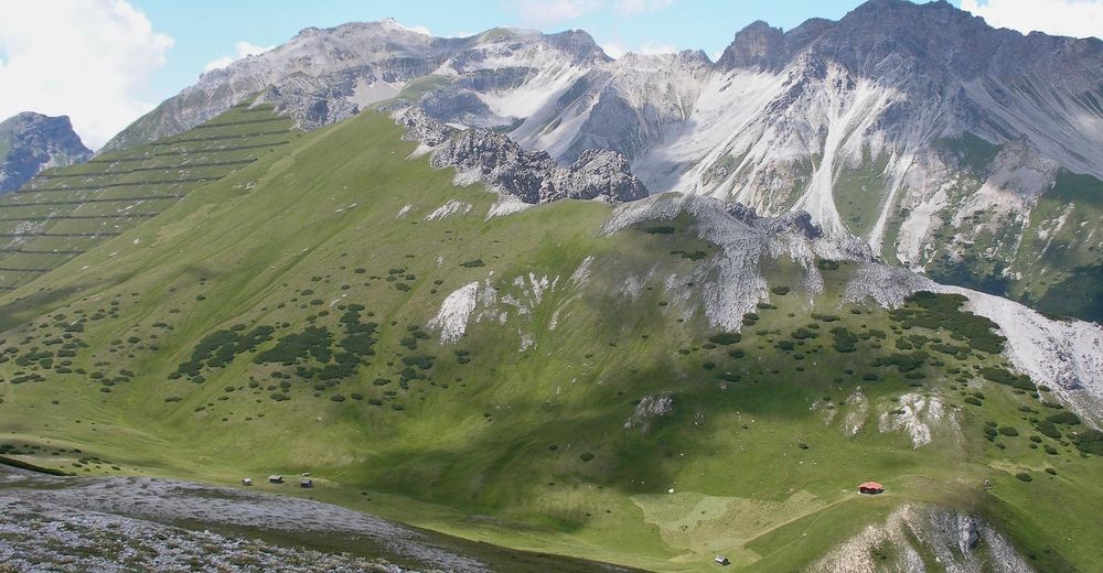
© Martina Gstrein - Judith Gstrein
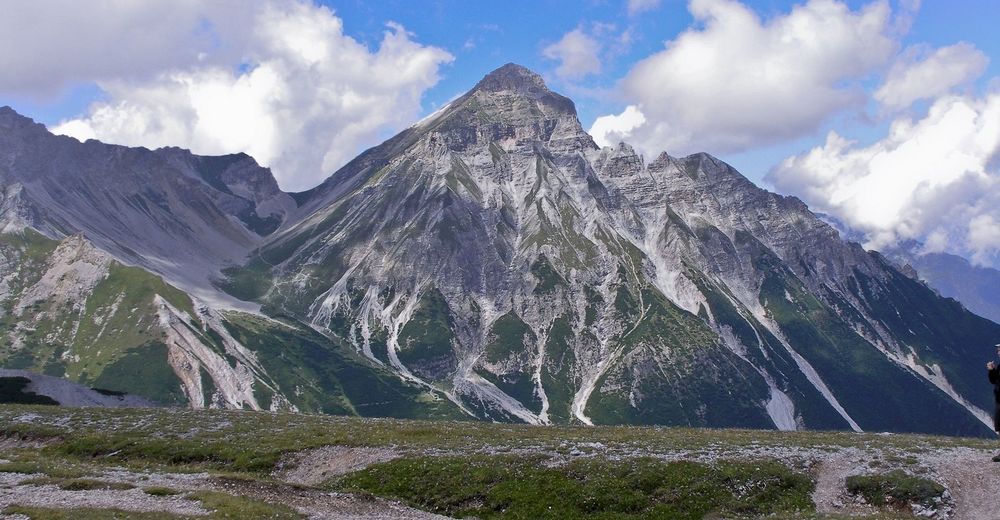
© Martina Gstrein - Judith Gstrein
© Tourismusverband Wipptal - Judith Gstrein
© Martina Gstrein - Judith Gstrein
© Martina Gstrein - Judith Gstrein
© Tourismusverband Wipptal - Judith Gstrein
© Martina Gstrein - Judith Gstrein
© Martina Gstrein - Judith Gstrein

- Brief description
-
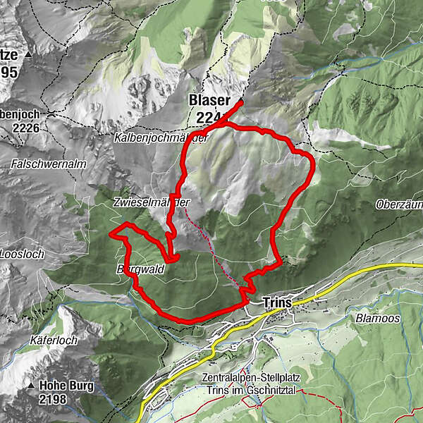
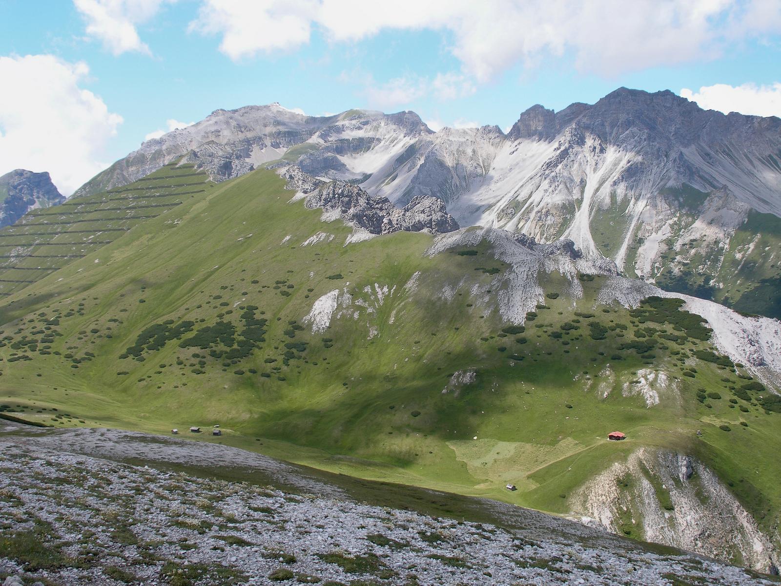
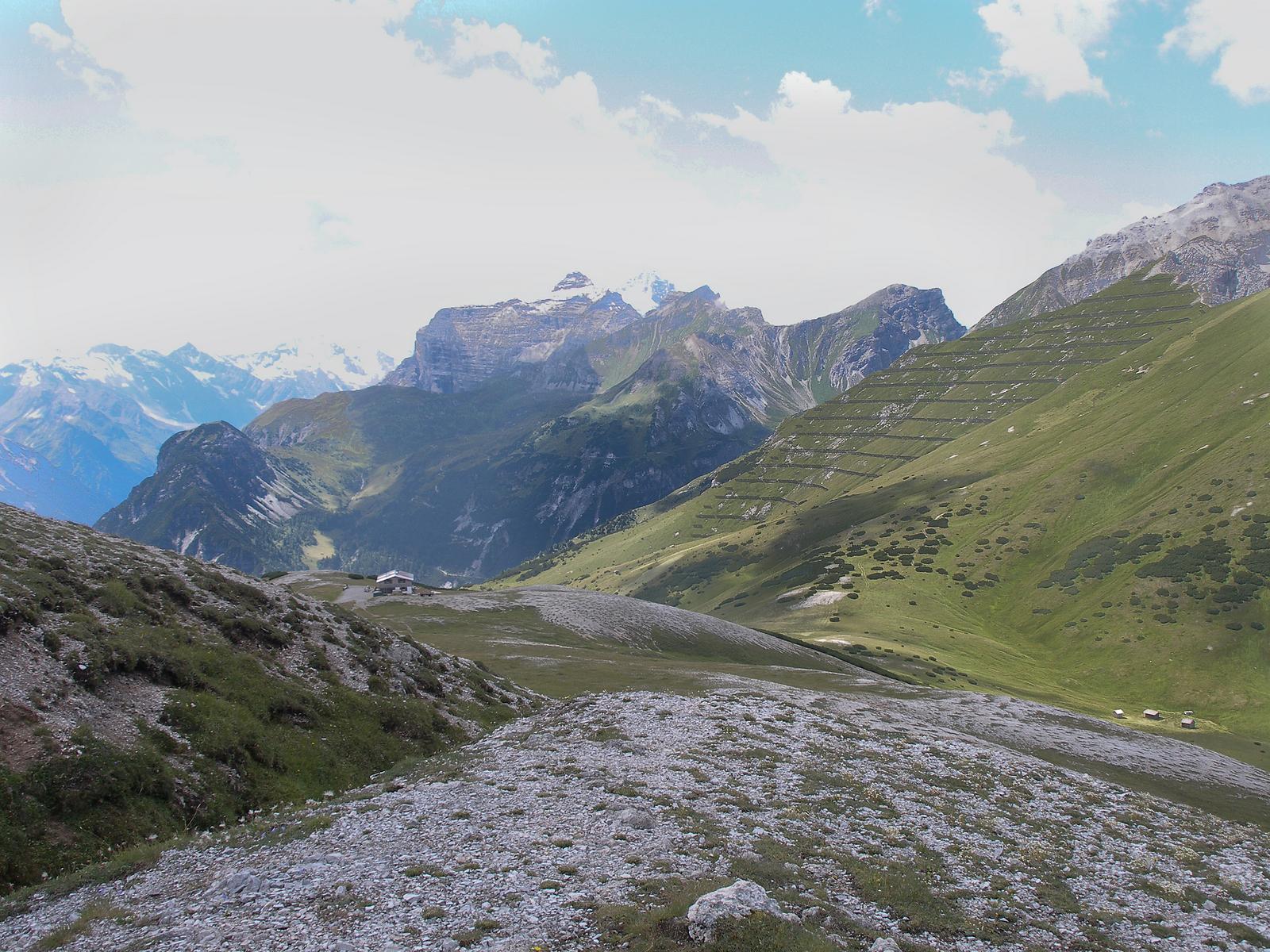
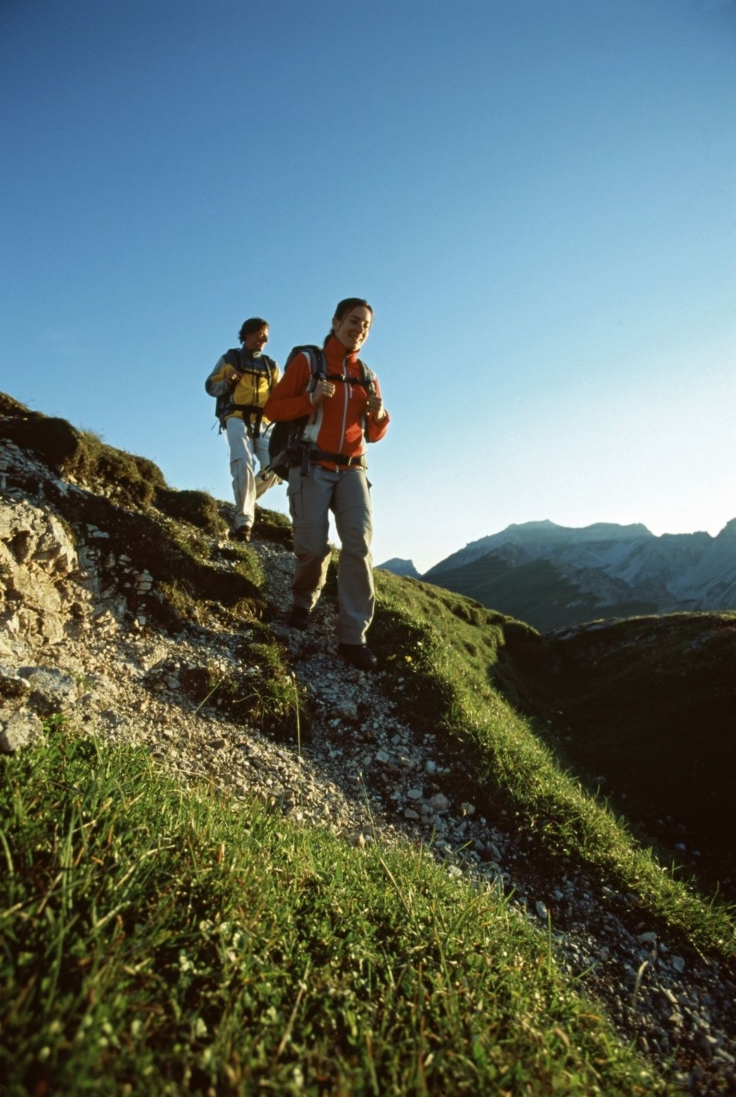
Rundwanderung auf den blumenreichsten Grasberg der Alpen
- Difficulty
-
easy
- Rating
-
- Route
-
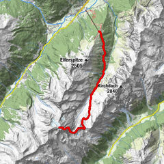
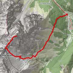
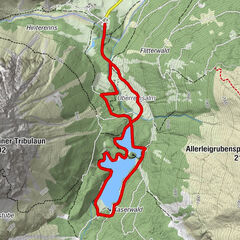
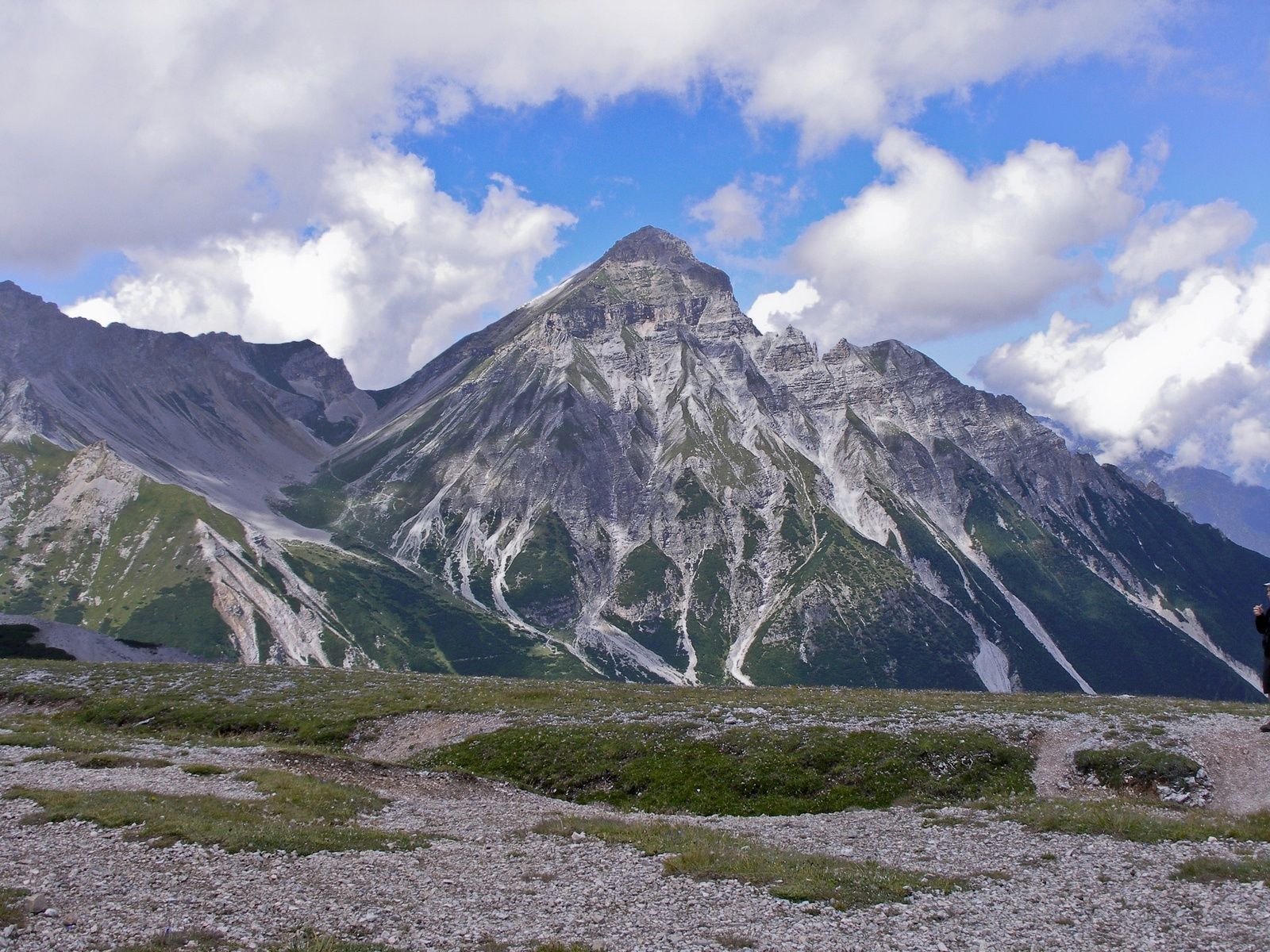
Trins (1,233 m)0.3 kmBlaser (2,241 m)4.5 kmBlaser Hütte5.0 kmTrins (1,233 m)11.2 km
- Best season
-
JanFebMarAprMayJunJulAugSepOctNovDec
- Highest point
- 2,234 m
- Endpoint
-
Parkplatz Leiten
- Height profile
-


-

-
AuthorThe tour Blaser ( 2.241m ) is used by outdooractive.com provided.
GPS Downloads


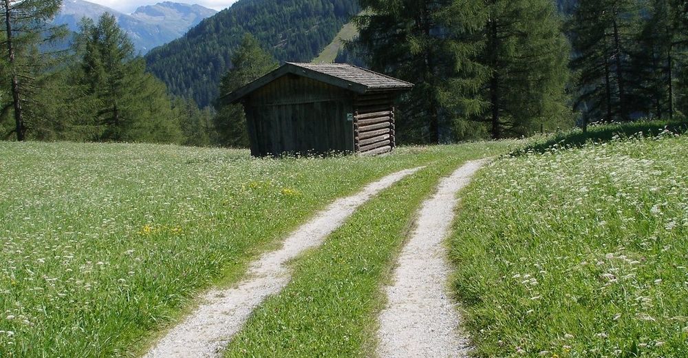
General info
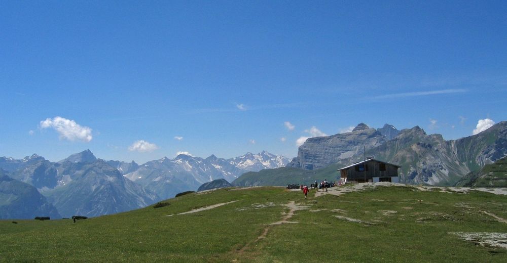
Refreshment stop
Flora
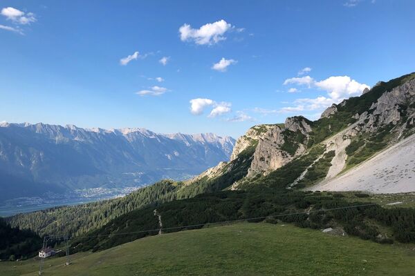
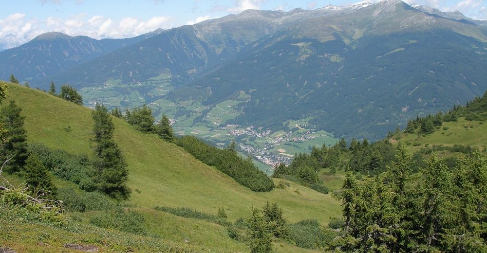
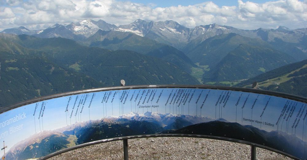
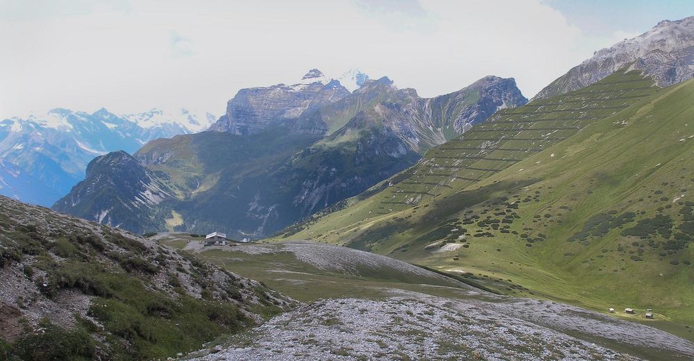
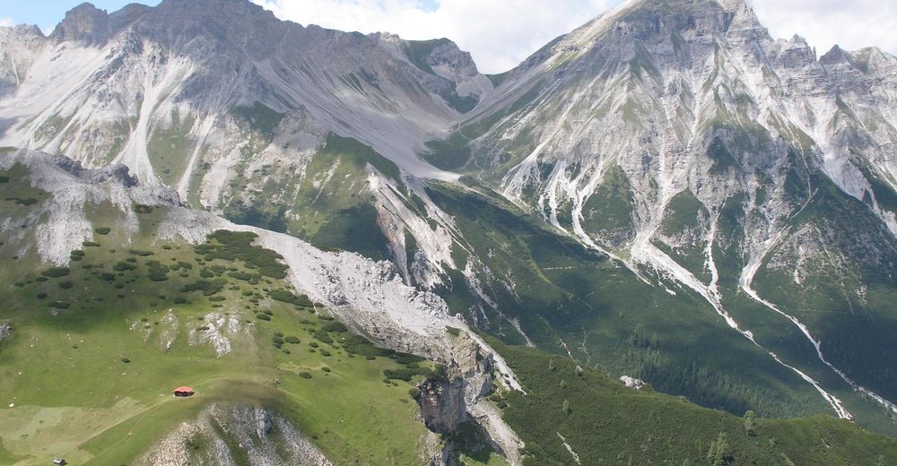
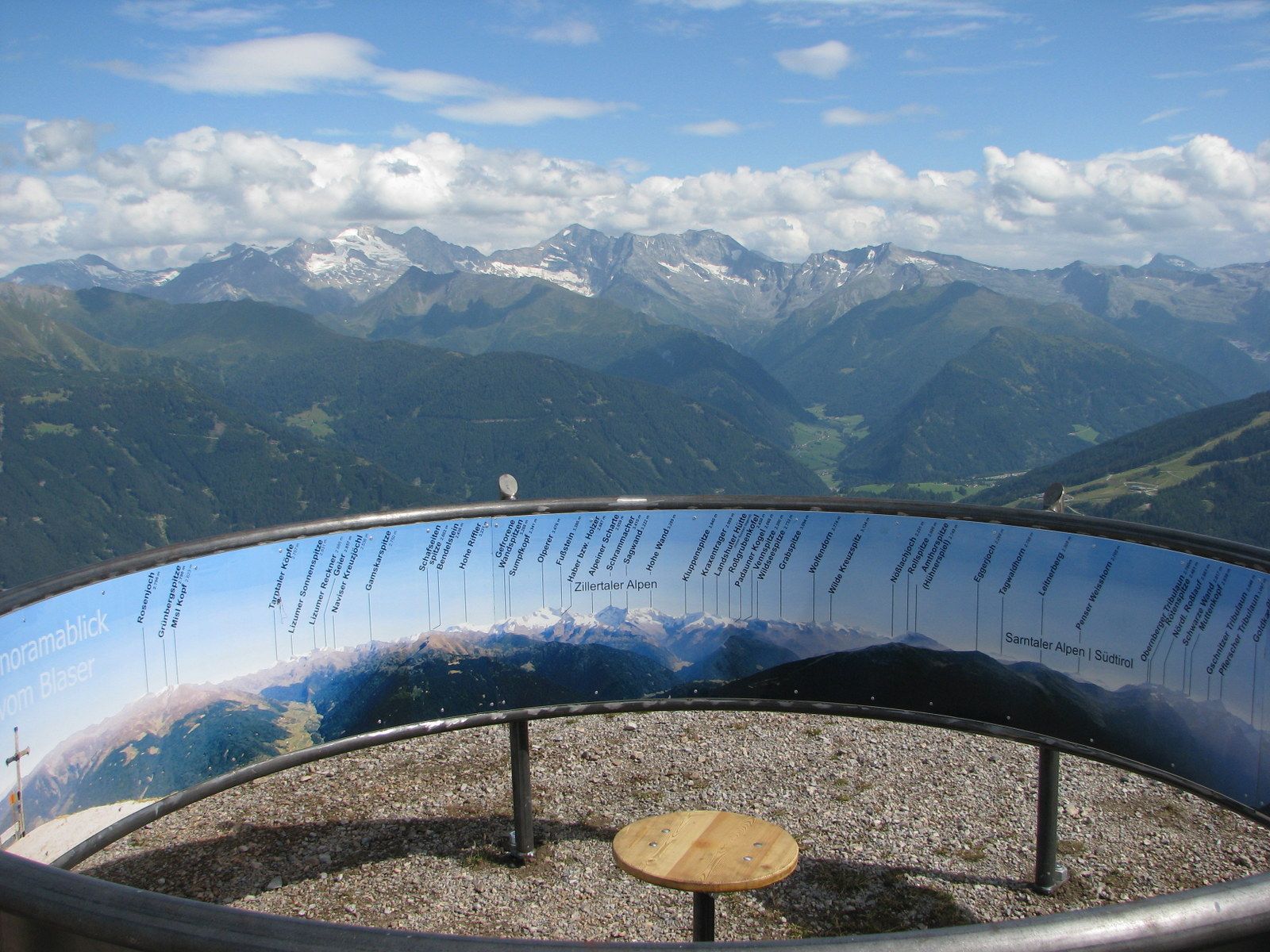
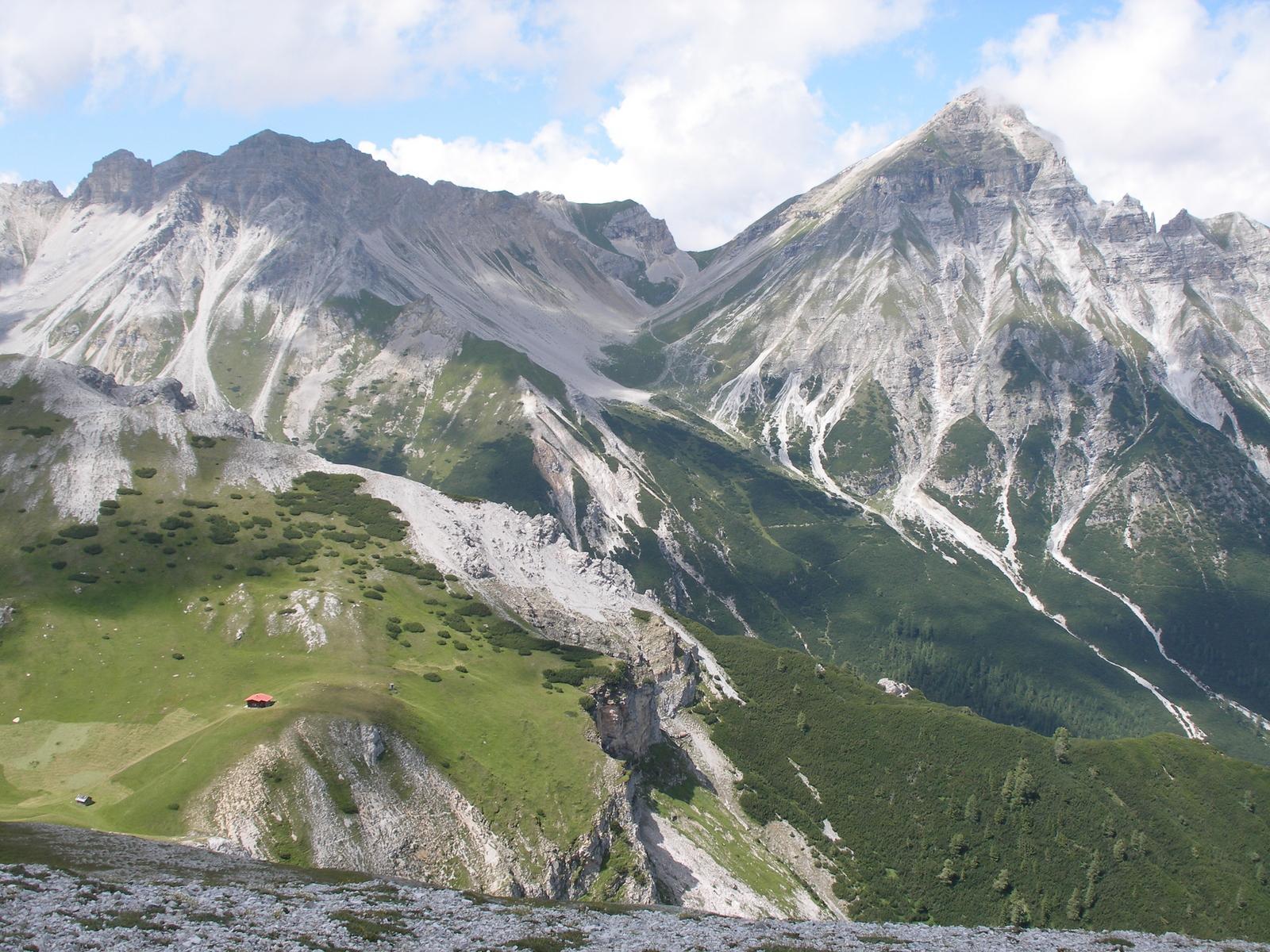
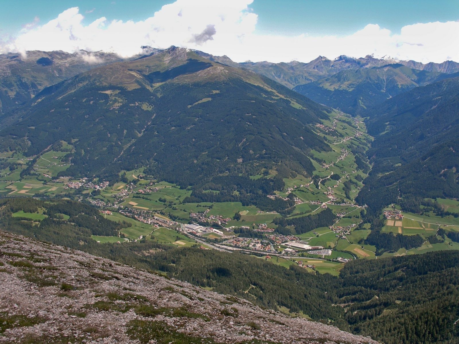
A lot of view
Other tours in the regions
-
Brixen und Umgebung
1976
-
Gschnitztal
1038
-
Trins
341