


- Brief description
-
Beautiful hike without difficult passages.
- Difficulty
-
easy
- Rating
-
- Route
-
SchmiedenUrfall0.7 kmHubertushütte2.8 kmNeunerköpfle (1,862 m)4.2 kmVogelhörnle (1,881 m)4.5 kmUsseralpe5.8 kmUrfall9.6 kmSchmieden10.3 km
- Best season
-
JanFebMarAprMayJunJulAugSepOctNovDec
- Description
-
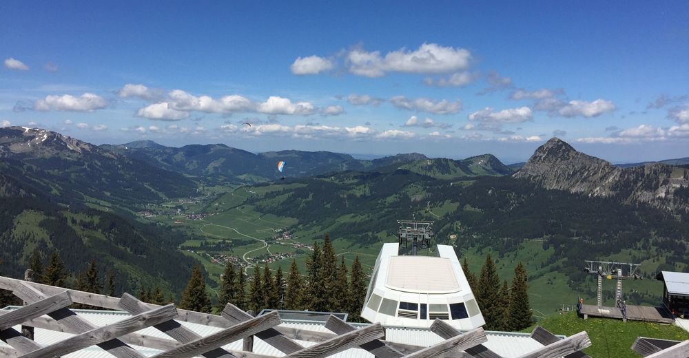
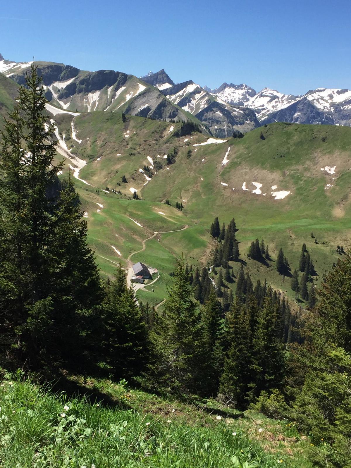
Beautiful hike which is also easy to manage with children. The area around the Neunerköpfle offers a wonderful fauna and flora, and not to forget a wonderful view. This hike is definitely extendable, there is the possibility to walk on the Saalfelder Höhenweg towards Landsberger Hütte or to choose the descent to Haldensee.
On fine days and on a clear day you can see the Zugspitze very well.
- Directions
-
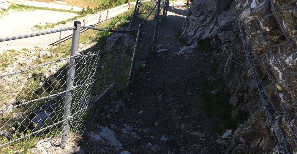
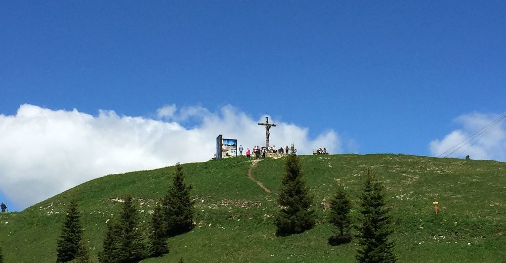
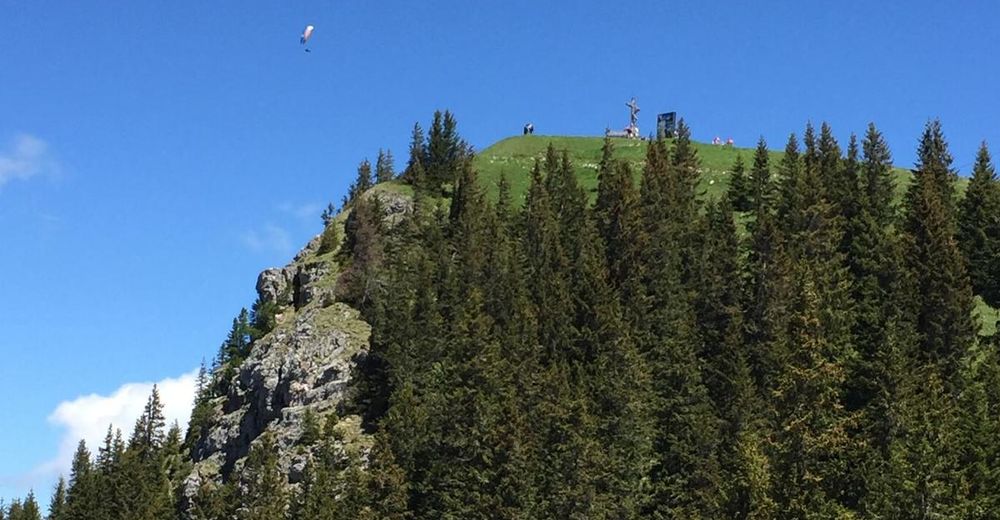
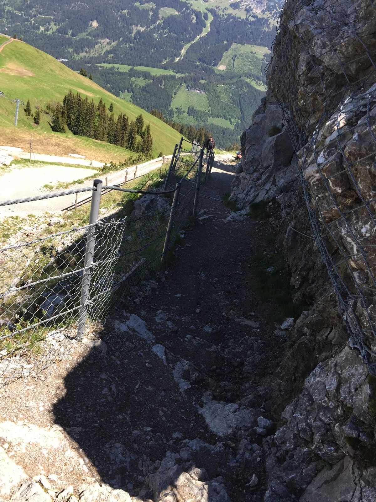
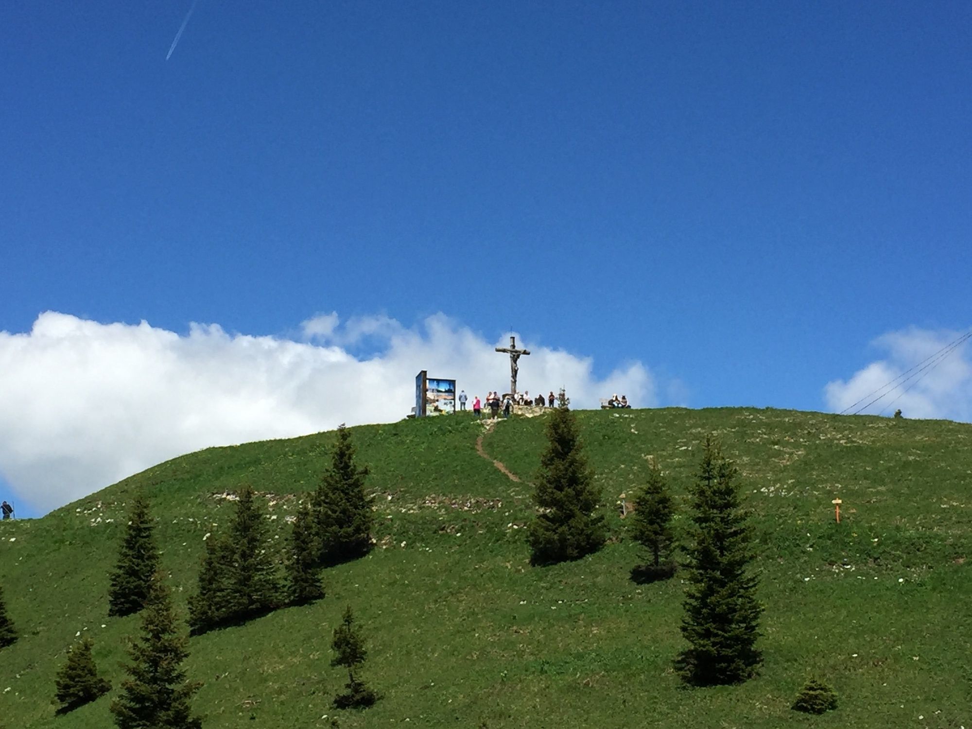
We start from Schmieden eastwards towards Usseralpe. We follow the well-developed road until we reach the Hubertushütte junction. Here the climb becomes a little steeper, but only about 200 meters. We follow the path to the Hubertushütte. From the Hubertushütte we have our destination the Neunerköpfle clearly in sight. The path from the Hubertushütte leads us serpentine uphill. The gravel path is not too steep and easy to walk on. At the top station the last section towards the summit begins. The last part to the summit is wonderfully secured and developed, with children without problems possible.
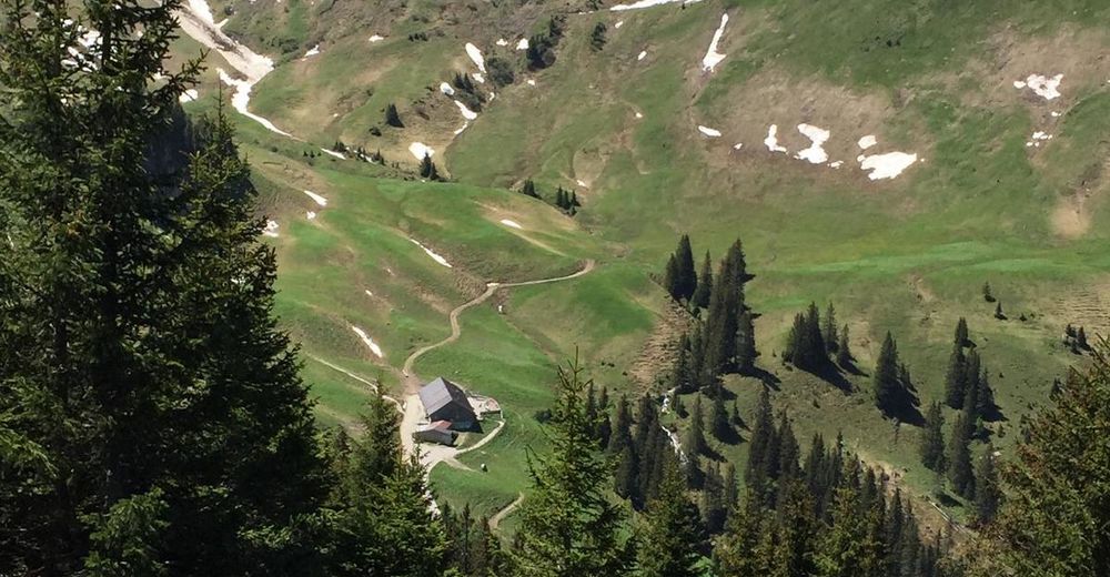
After the wonderful view and a short rest, we hike a few more meters on the backside of the summit to the turnoff to the Usseralpe. Here we follow the path to the hut and after a possible stop we stay on the road and follow it to the starting point in Schmieden
- Highest point
- 1,845 m
- Endpoint
-
Tannheim Schmieden
- Height profile
-

- Equipment
-
The personal mountaineering equipment must be safe and serviceable and meet the relevant technical standards. Every hiker is recommended to obtain information about the planned tours from specialist alpine literature or on site.
- Safety instructions
-
General valid and customary rules of conduct
It should be noted that in mountaineering there is an increased risk of accidents and injuries. Despite careful route planning, a basic risk always remains. Tour preparation through endurance sports, appropriate technical training and further education as well as personal prudence reduces the danger of accidents and risks. However, please never forget that the weather in the mountains can change very quickly. Stay on the marked hiking trails.
- Tips
-
A stop at one of the huts along the way is of course a must.
- Directions
-
On the motorway A7 at the exit "Oy-Mittelberg" on the B310 towards Wertach and to Oberjoch. There follow the signs "Tannheimer Tal" B199, exit Tannheim, Neunerköpfle Bergbahn.From the Tyrolean side via Reutte on the B198 towards Lechtal to Weißenbach, over the Gaichtpass along the B199 to the exit Tannheim, Neunerköpfle Bergbahn.
- Public transportation
-
By train to Sonthofen, Pfronten/Ried or Reutte, then by bus to Tannheim.
- Parking
-
At the bottom station of the Neunerköpfle gondola lift - parking fee


-

-
AuthorThe tour To the Neunerköpfle in Tannheim is used by outdooractive.com provided.


General info
-
Allgäu
2357
-
Tannheimer Tal
1454
-
Tannheim
519


