
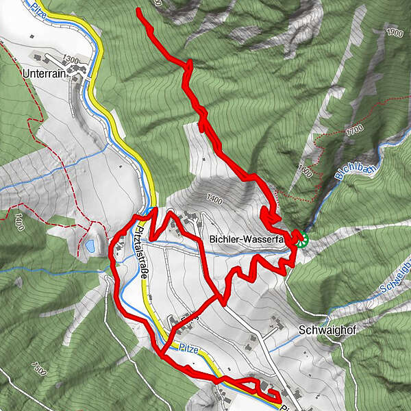
Tour data
6.07km
1,316
- 1,479m
246hm
240hm
01:38h
- Brief description
-
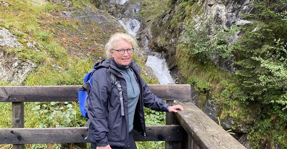
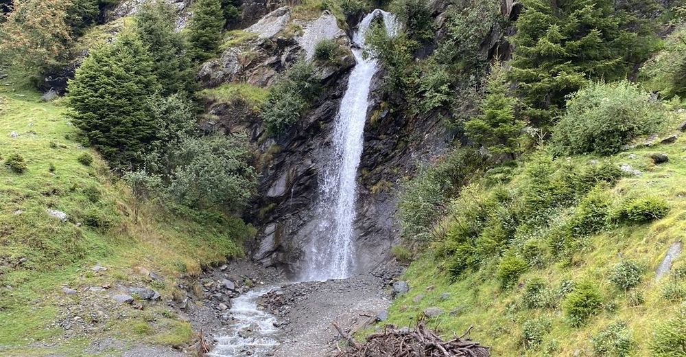
Leichte Wanderung im Regen
- Difficulty
-
easy
- Rating
-
- Route
-
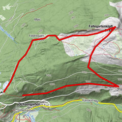
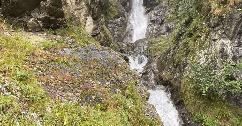
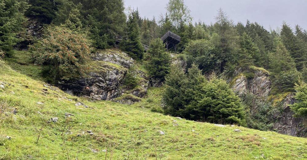
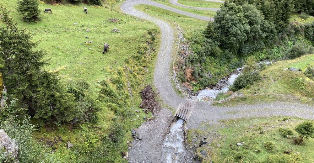
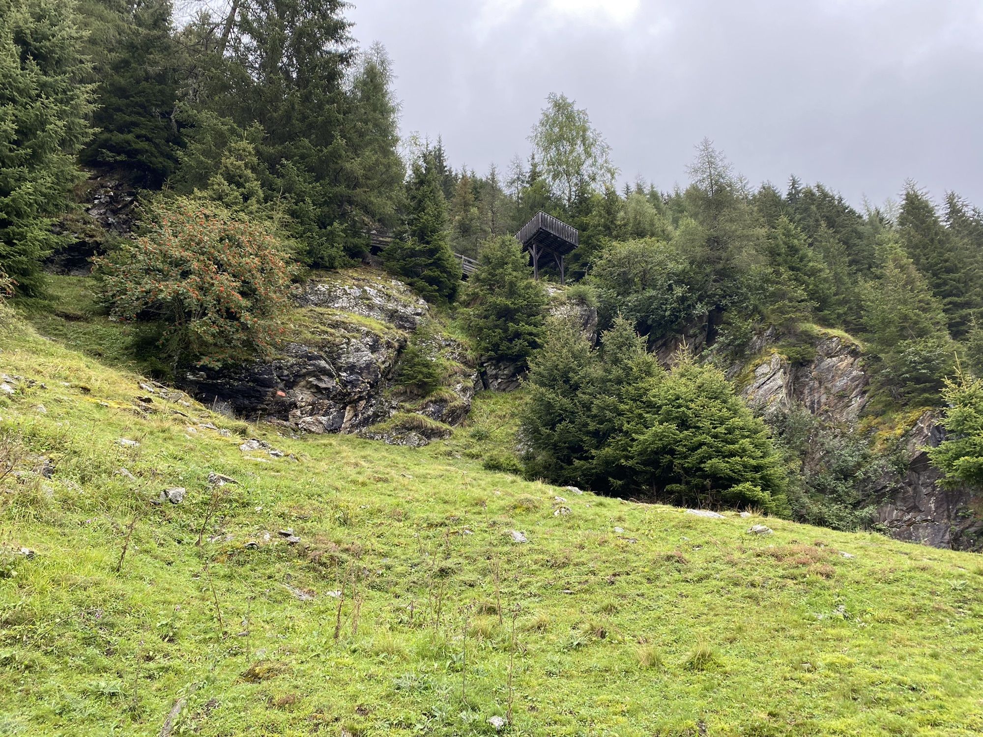
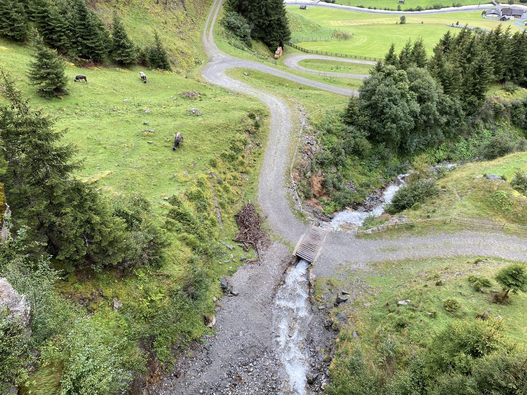
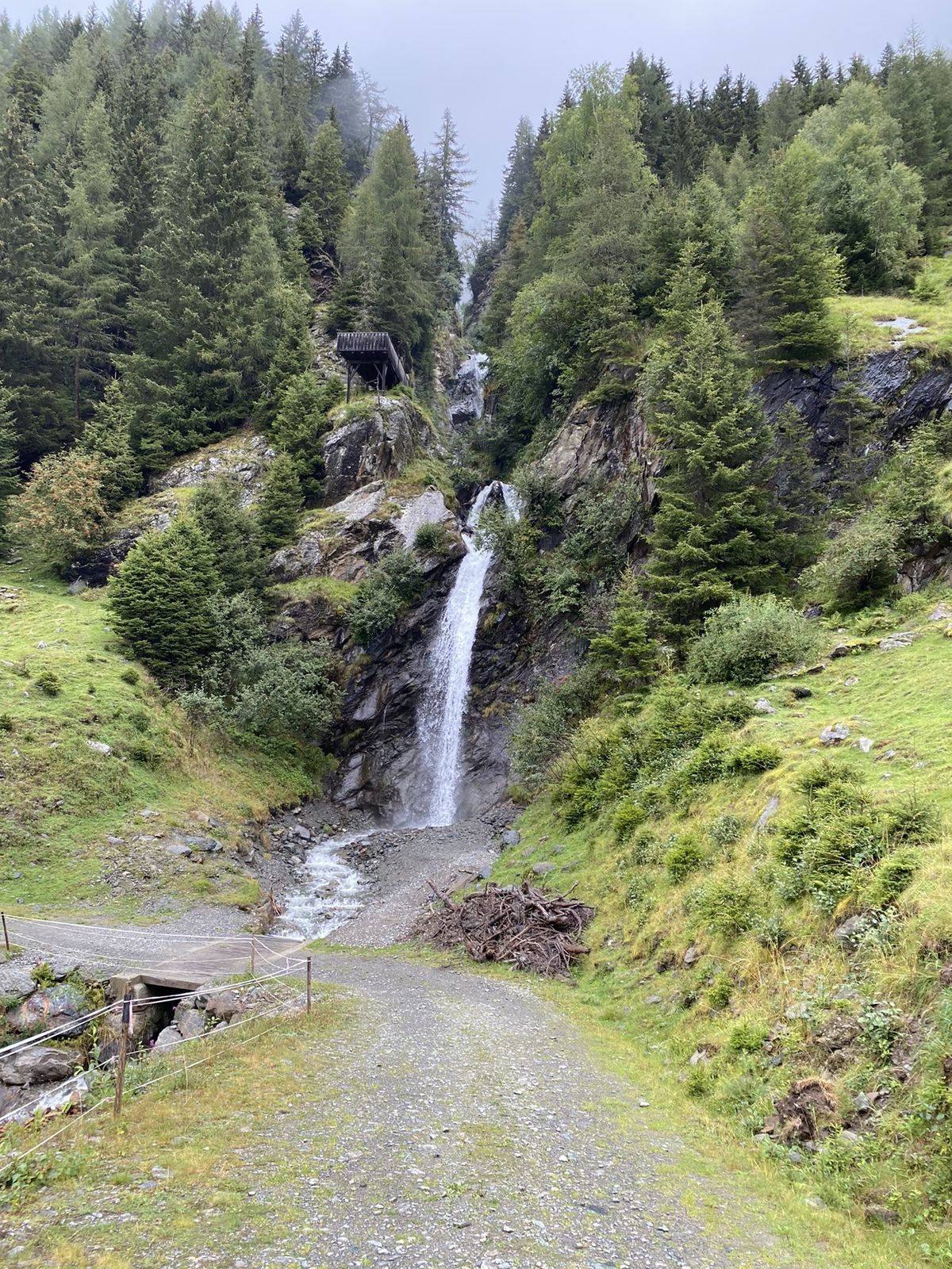
Innerwald0.0 kmEnger0.5 kmBichl Wasserfall1.3 kmBichler-Wasserfall1.3 kmBichl4.5 kmInnerwald6.0 km
- Highest point
- 1,479 m


GPS Downloads


Other tours in the regions
-
Pitztal
1065
-
St. Leonhard im Pitztal
332