

- Brief description
-
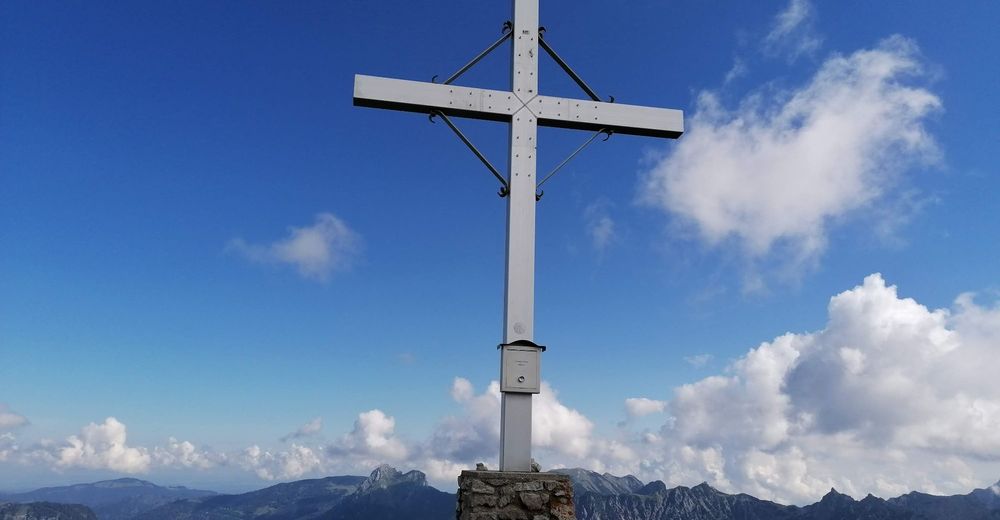
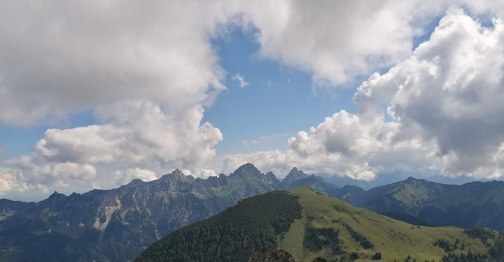
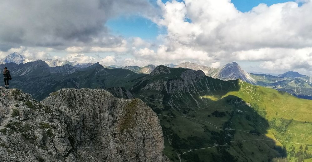
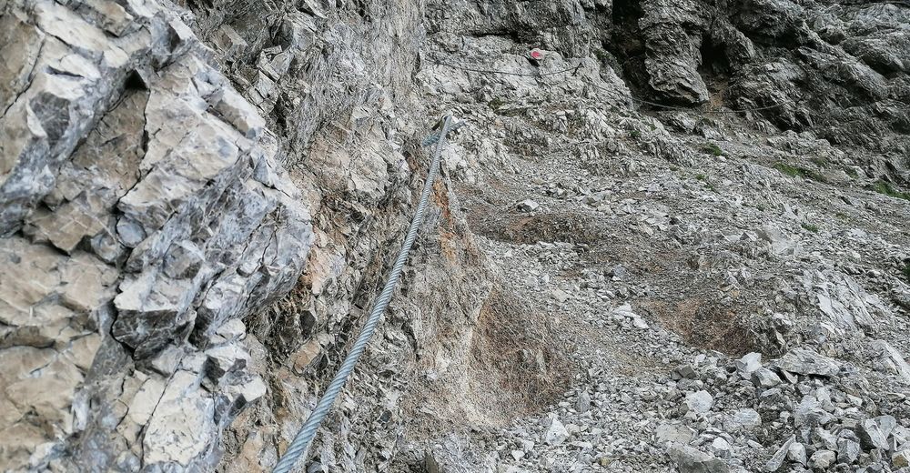
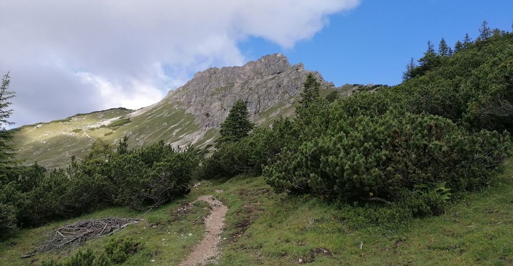
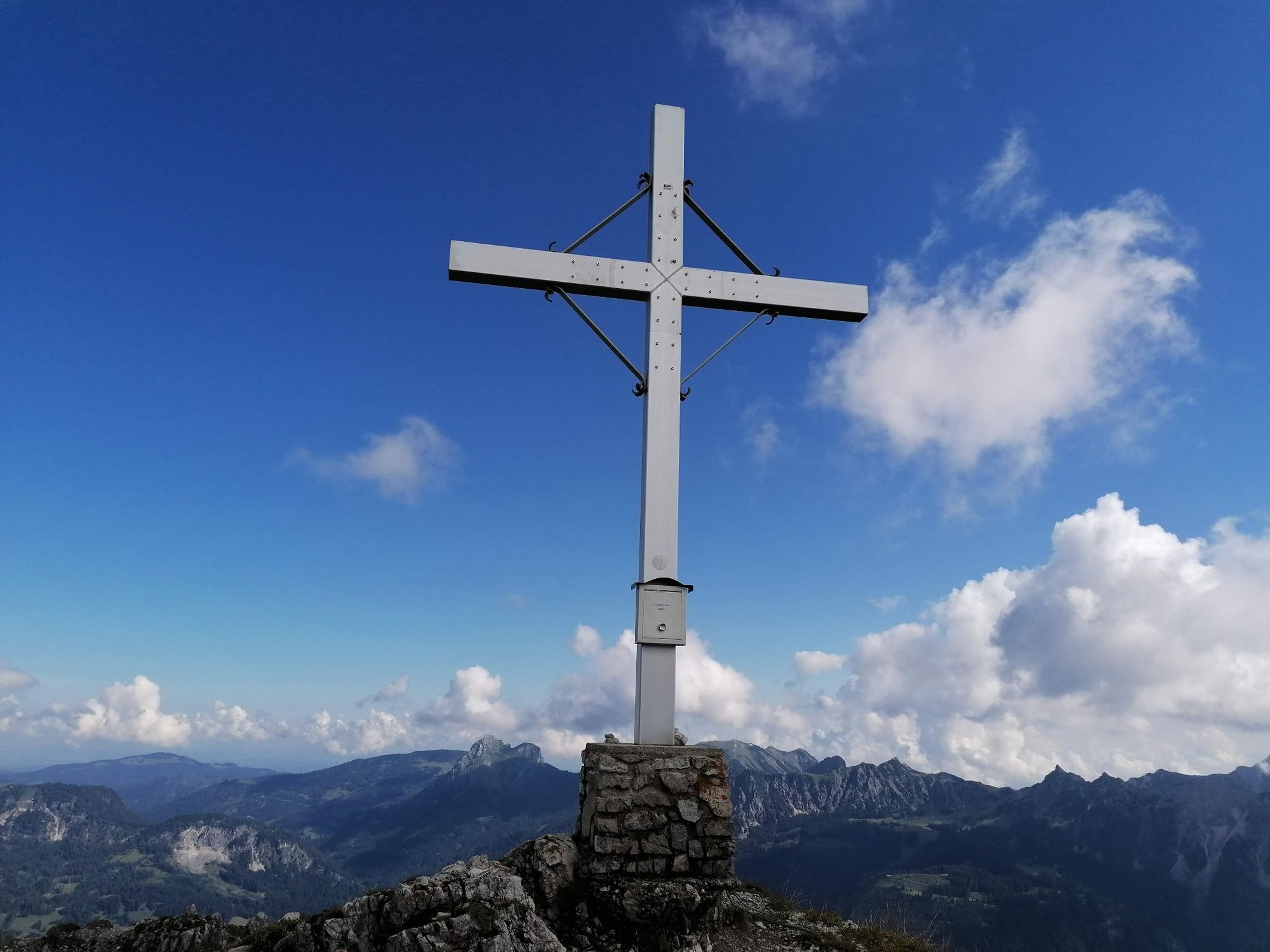
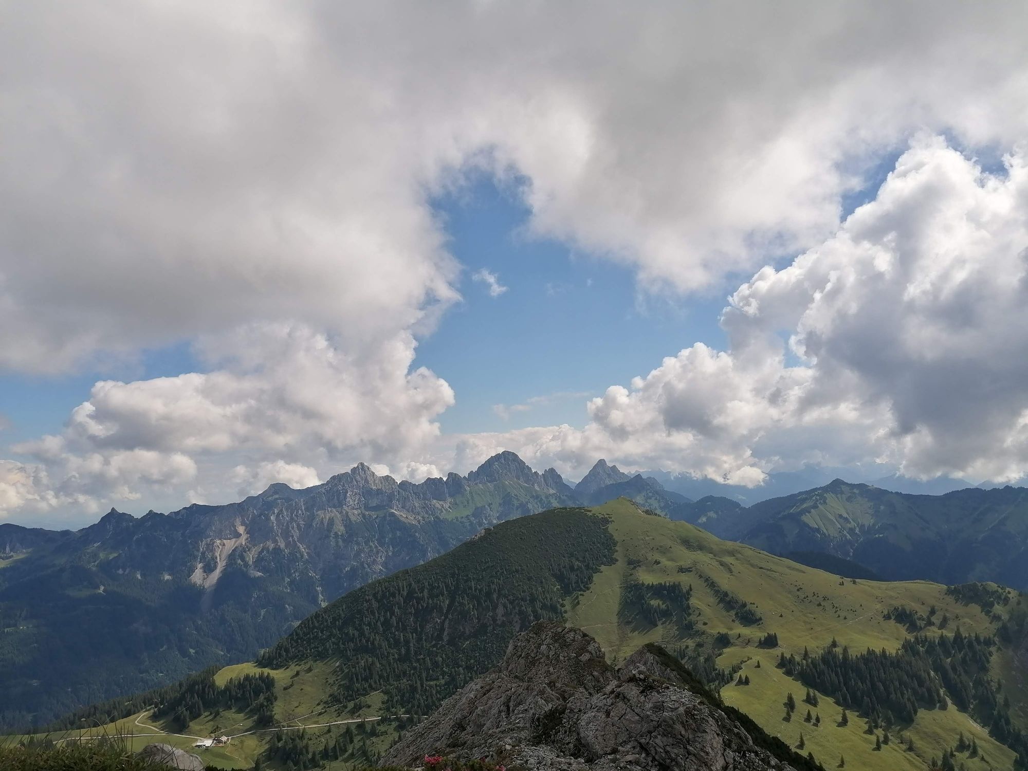
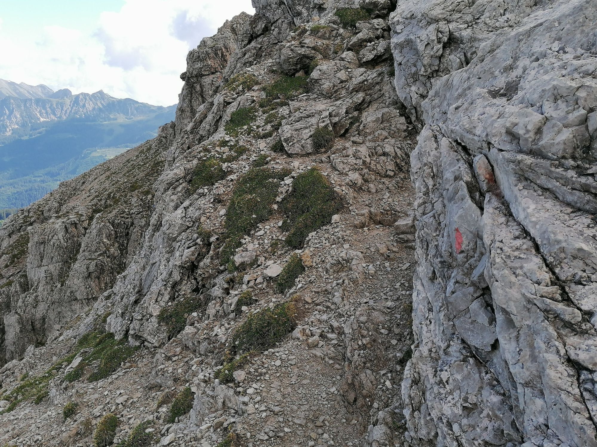
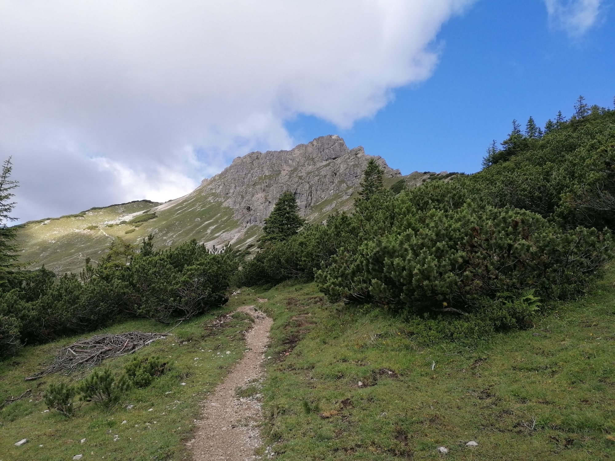
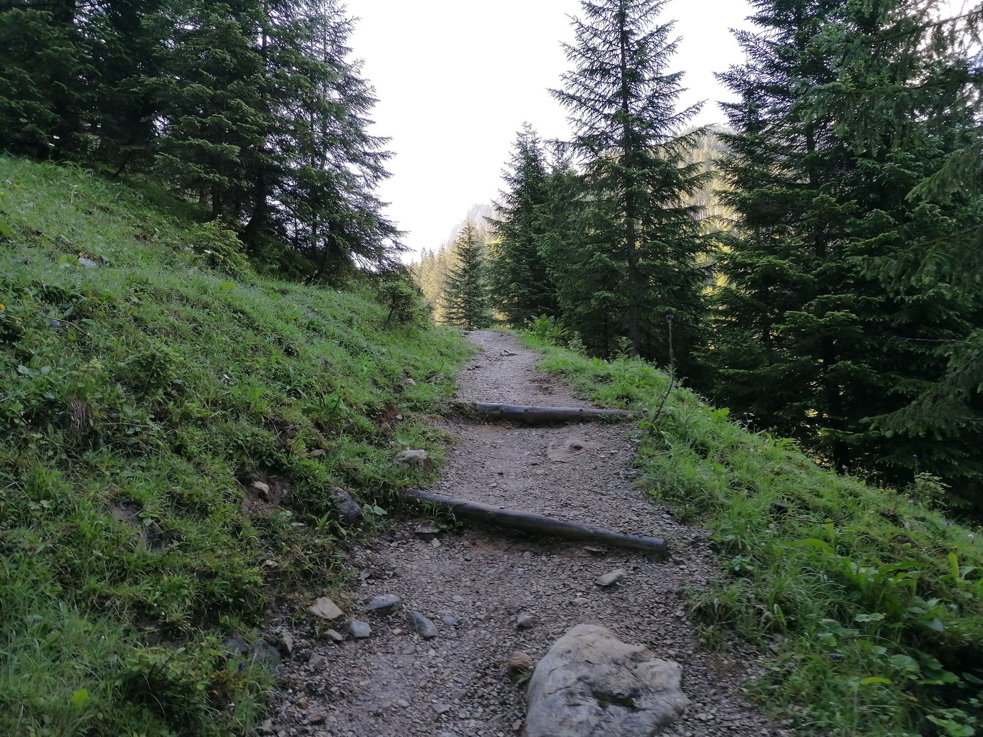
Down from the valley the Litnisschrofen (2068m) is almost not visible. Seen from surrounding peaks such as the Krinnespitze or the Neunerköpfle, the isolated standing one with its distinctive Schrofen wall catches the eye.
- Difficulty
-
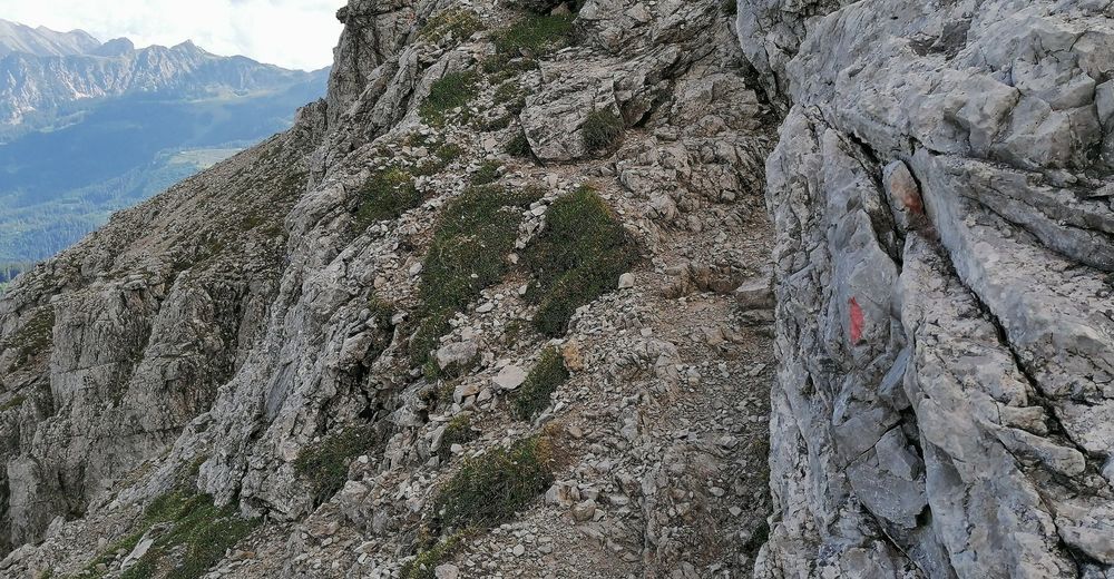
difficult
- Rating
-
- Starting point
-
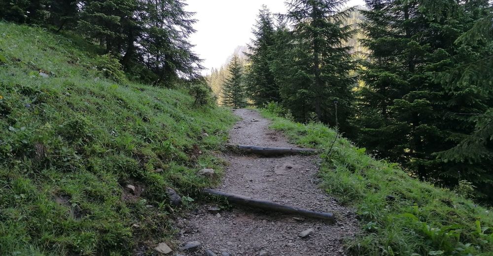
Lake parking area Haldensee
- Route
-
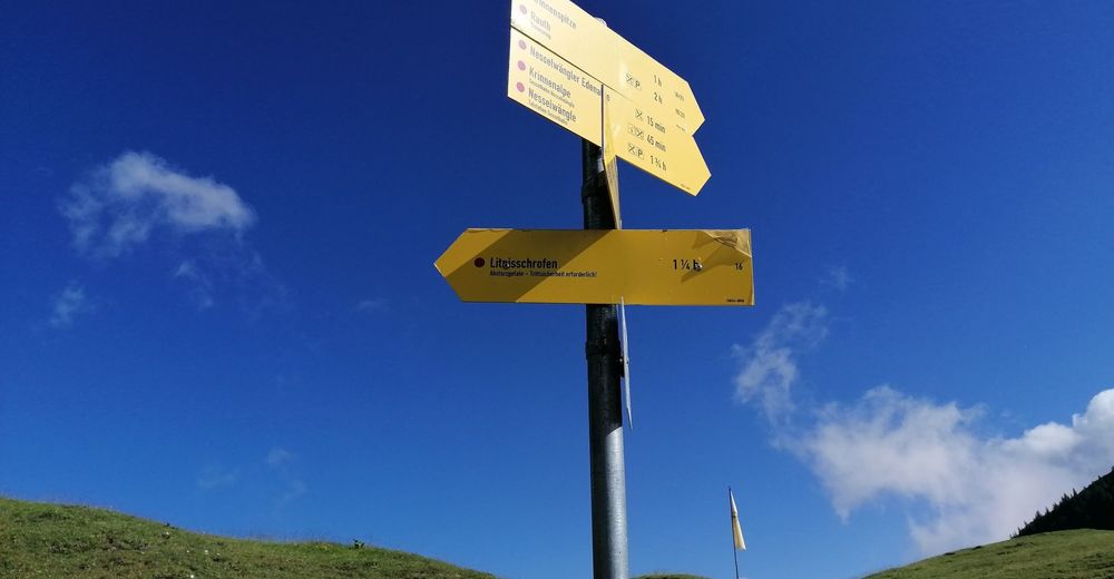
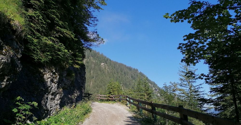
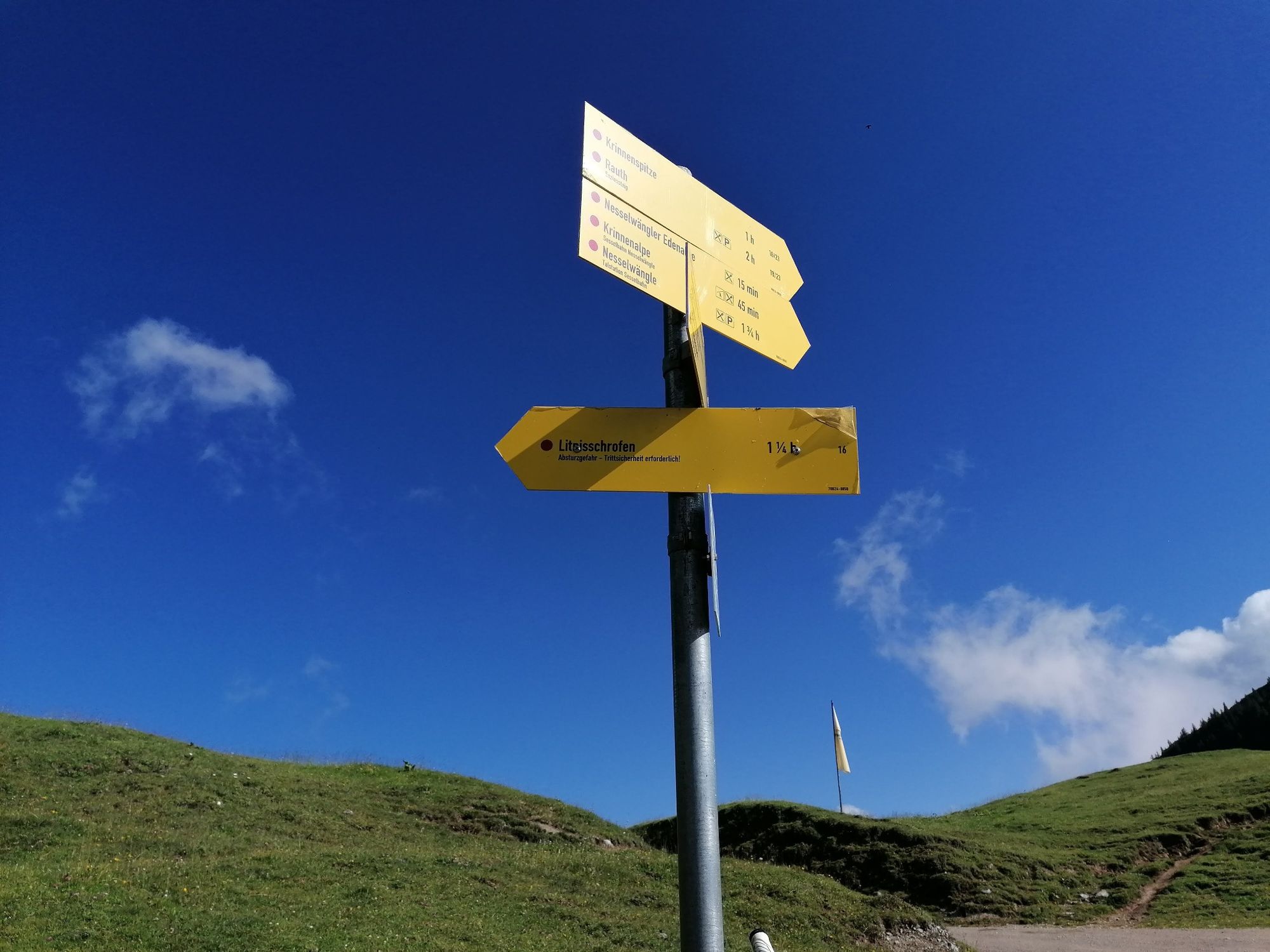
Tauscher's Alm0.2 kmHaldensee0.5 kmLitnisschrofen (2,069 m)5.3 kmHaldensee10.0 kmTauscher's Alm10.3 km
- Best season
-
JanFebMarAprMayJunJulAugSepOctNovDec
- Highest point
- 2,045 m
- Endpoint
-
Lake parking area Haldensee
- Height profile
-

- Equipment
-
Personal mountaineering equipment must be safe and serviceable and must meet the relevant technical standards. Every hiker is recommended to obtain information about the planned tours from alpine technical literature or on site.
- Safety instructions
-
General valid and usual rules of conduct! it should be noted that in mountain sports there is an increased risk of accidents and injuries. Despite careful route planning, a basic risk always remains. Tour preparation through endurance sports, appropriate technical training and further education as well as personal prudence reduces the risk of accidents and injuries. But please never forget that the weather in the mountains can change very quickly. Stay on the marked hiking trails.
- Additional information
-
Tourist office Tannheimer Tal
Gräner Ödenalpe
- Directions
-
On the motorway A7 at the exit "Oy-Mittelberg" on the B310 towards Wertach and to Oberjoch. There follow the signposting "Tannheimer Tal" B199 until Haldensee. From the Tyrolean side via Reutte on the B198 towards Lechtal until Weißenbach, over the Gaichtpass along the B199 until Haldensee.
- Public transportation
-
By train to Sonthofen, Pfronten/Ried or Reutte, then by bus to Grän/Haldensee.
- Parking
-
Lake parking at the Haldensee - with costs


- Author
-
The tour From Haldensee to Litnisschrofen is used by outdooractive.com provided.


General info
-
Allgäu
2365
-
Tannheimer Tal
1454
-
Grän-Haldensee - Füssener Jöchle
575


