Tour data
19.23km
700
- 986m
407hm
413hm
04:30h
- Brief description
-
nice and easy variant of the Jakobsweg
- Difficulty
-
medium
- Rating
-
- Starting point
-
AREA 47
- Route
-
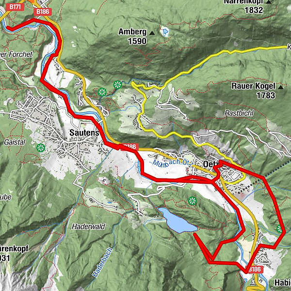
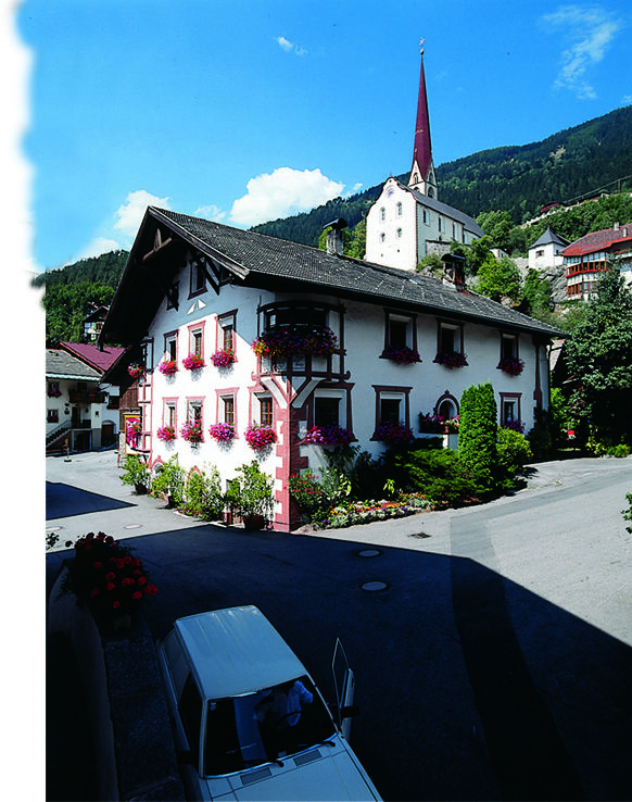
Wildgatter1.9 kmSautens (812 m)3.2 kmOetz (812 m)6.0 kmPfarrkirche zum Hl. Georg und Nikolaus6.5 kmHabichen8.7 kmKohlstatt10.0 kmOetz (812 m)12.9 kmSautens (812 m)15.5 kmWildgatter17.0 km
- Best season
-
JanFebMarAprMayJunJulAugSepOctNovDec
- Description
-
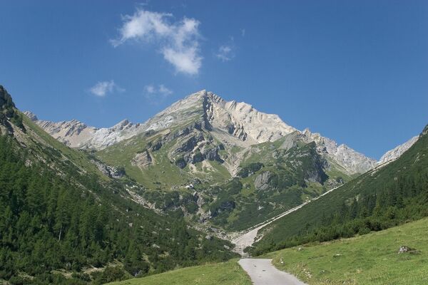
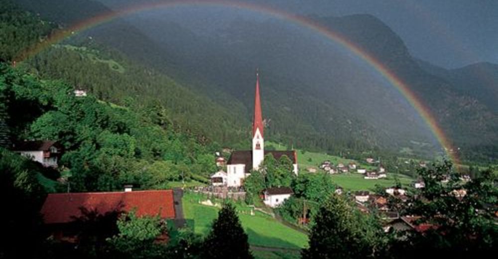
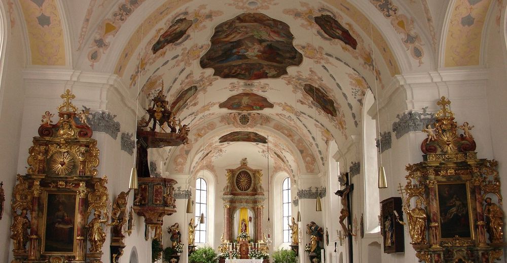
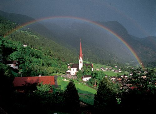
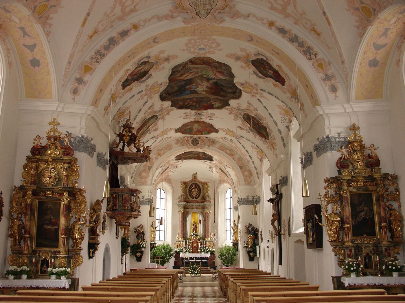
From the main track of the "Jakobsweb" you turn into the Ötztal valley. Follow the way next to the Ötztal river from Ebene to Sautens and Oetz. In Oetz you can visit the old village center and the church. From the church you walk to the chapel "Kalvarienberg" and again down to the river and further into the valley to the "Wellerbridge".
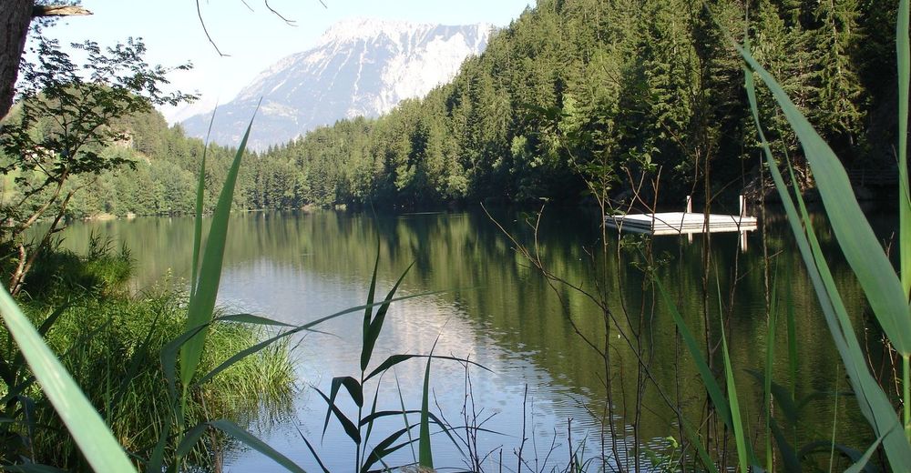
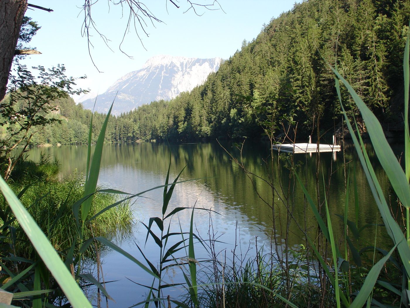
From the bridge you can walk up to lake Piburger See and back to Oetz. Next to the river you walk back to the main track of the Jakobsweg. - Highest point
- 986 m
- Alternatives
-
you can also start from Oetz
- Rest/Retreat
-
AREA 47, Restaurants in Oetz or Piburg
- Ticket material
-
Tourist Office Oetz
- Directions
-
Parking at the big parking place of AREA 47, next to the roundaboud
GPS Downloads


Trail conditions
Asphalt
Gravel
Meadow
Forest
Rock
Exposed
Other tours in the regions
-
Outdoorregion Imst
1228
-
Oetz
339