
- Difficulty
-
easy
- Rating
-
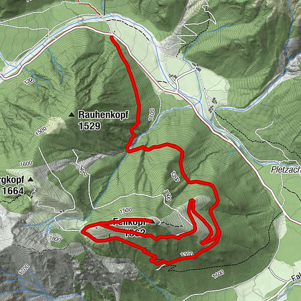
- Route
-
Wasserfall1.1 kmFeilkopf (1,562 m)4.6 kmFeilalm6.3 kmWasserfall8.5 km
- Best season
-
JanFebMarAprMayJunJulAugSepOctNovDec
- Highest point
- 1,540 m
- Endpoint
-
Feilalm
- Height profile
-

-

-
AuthorThe tour Wanderung zum Feilkopf - Feilam is used by outdooractive.com provided.
GPS Downloads


Other tours in the regions
-
Achensee
1361
-
Pertisau am Achensee
348


