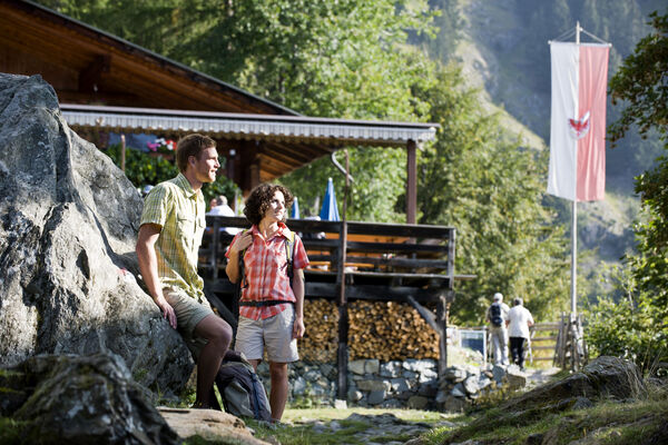
© Tiroler Wanderhotels e.V. - Vitalhotel Mühle


© Tiroler Wanderhotels e.V. - Vitalhotel Mühle

- Brief description
-
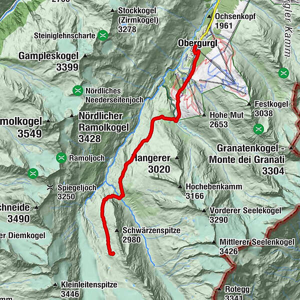
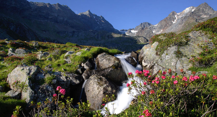
Eine mittelschwere Wanderung mit unzähligen Einblicken der Obergurgler Wanderwelt!
- Difficulty
-
difficult
- Rating
-
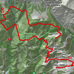
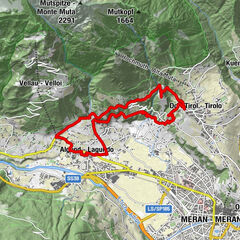
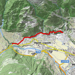
- Route
-
Hl. Johannes NepomukObergurgl (1,907 m)Schönwieshütte3.3 kmLangtalereckhütte (2,430 m)6.7 kmFidelitas Hütte10.6 km
- Best season
-
JanFebMarAprMayJunJulAugSepOctNovDec
- Highest point
- 2,857 m
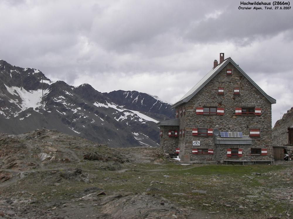
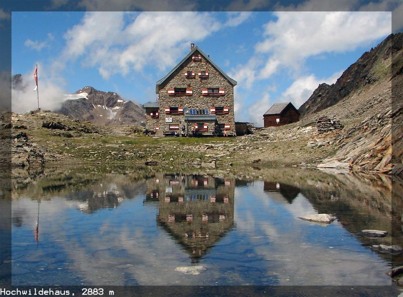
- Endpoint
-
Hochwildehaus
- Height profile
-

- Author
-
The tour Wanderung zum Hochwildehaus is used by outdooractive.com provided.
GPS Downloads


General info
Refreshment stop
Insider tip
A lot of view
Other tours in the regions
-
Meraner Land
1726
-
Schnalstal
596
-
Obergurgl - Hochgurgl
281