

Tour data
9.8km
800
- 1,700m
819hm
81hm
04:00h
- Brief description
-
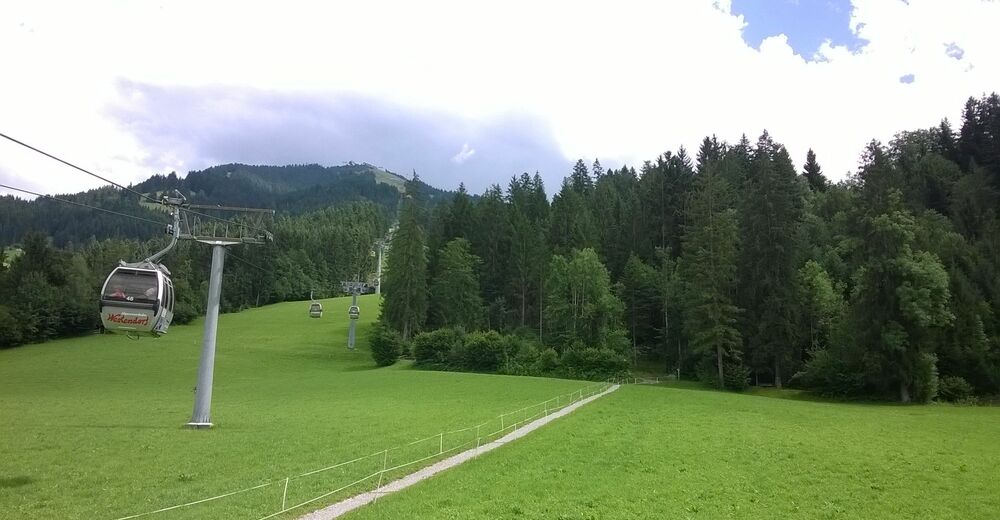
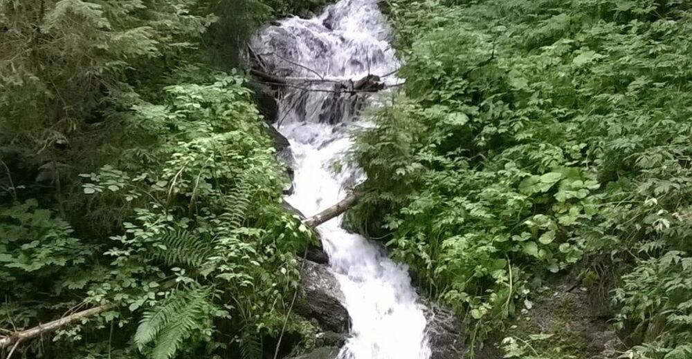
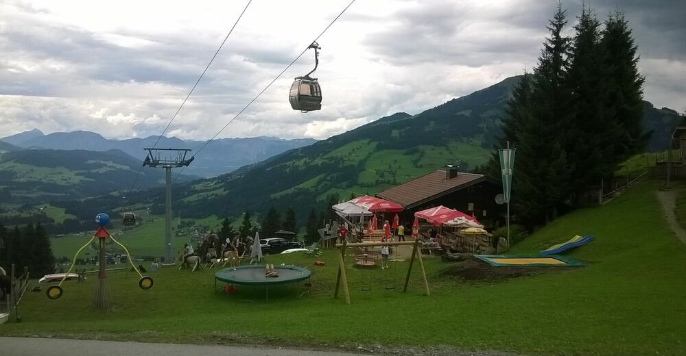
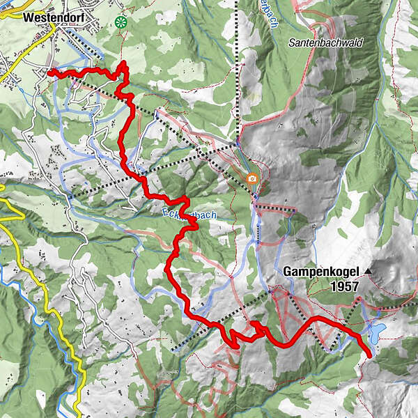
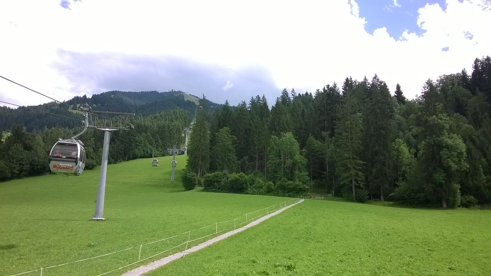
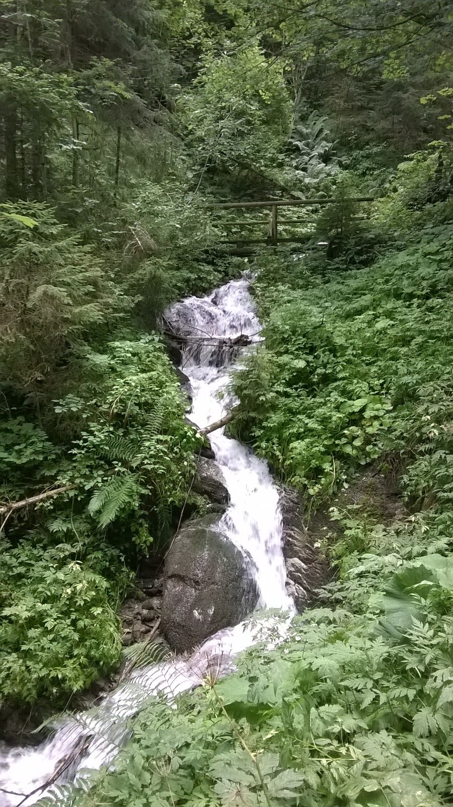
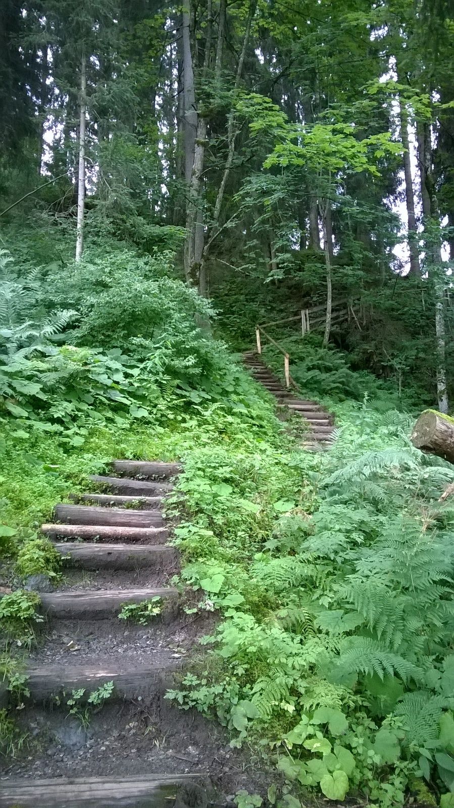
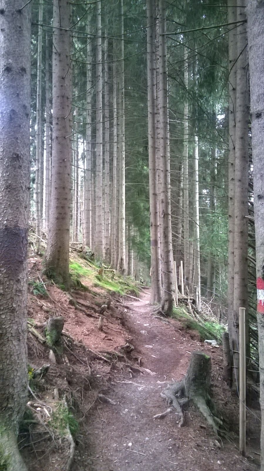
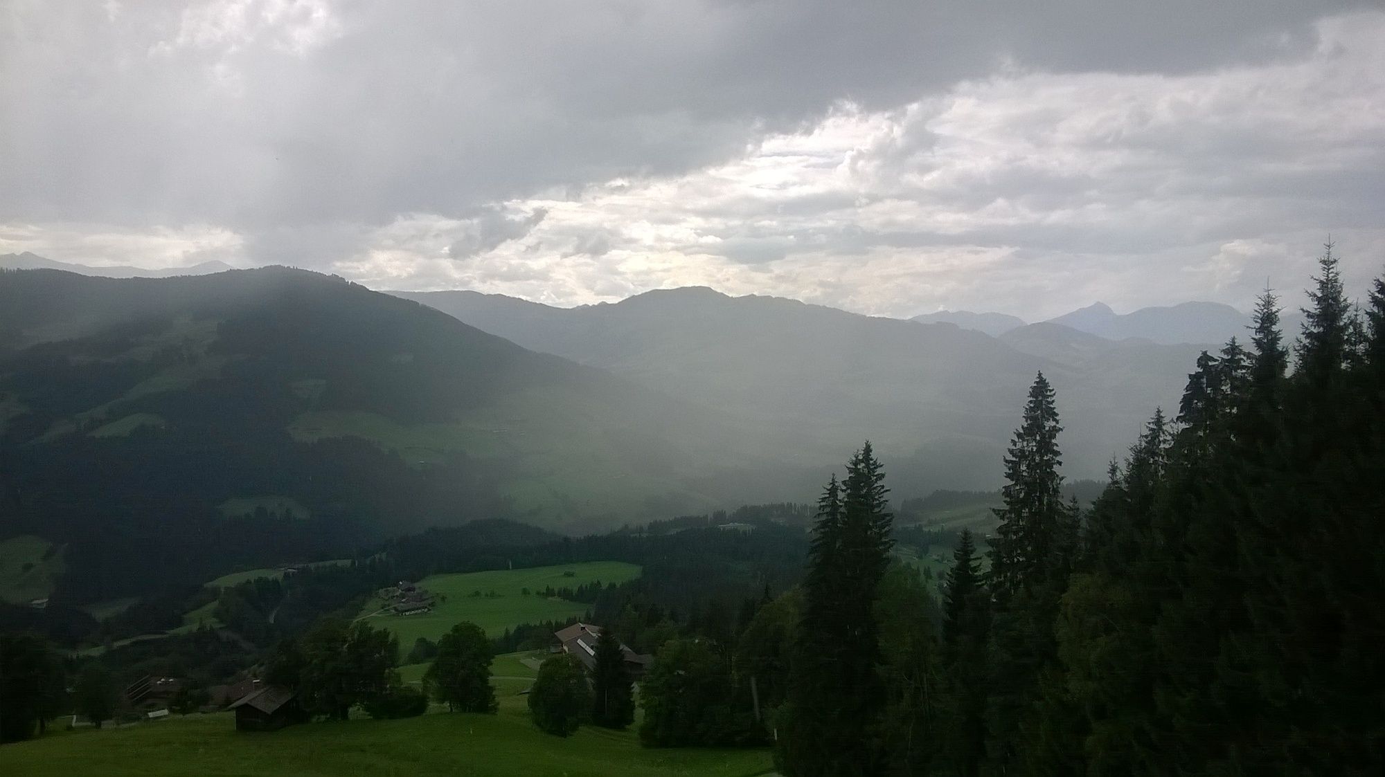
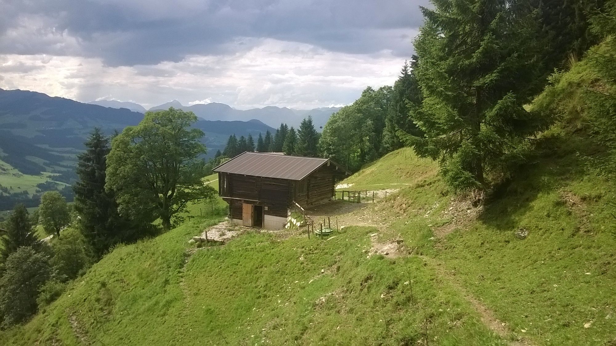
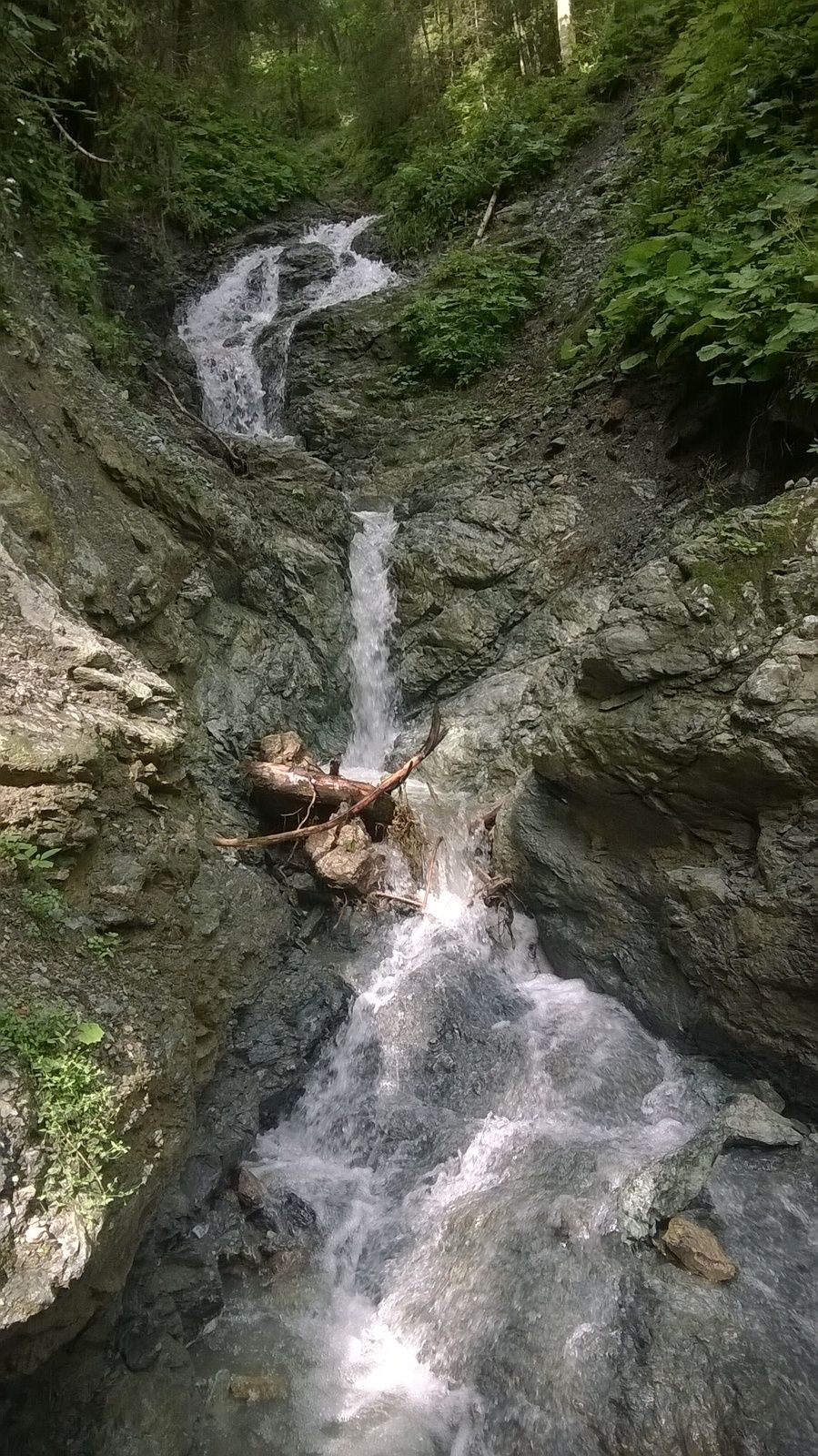
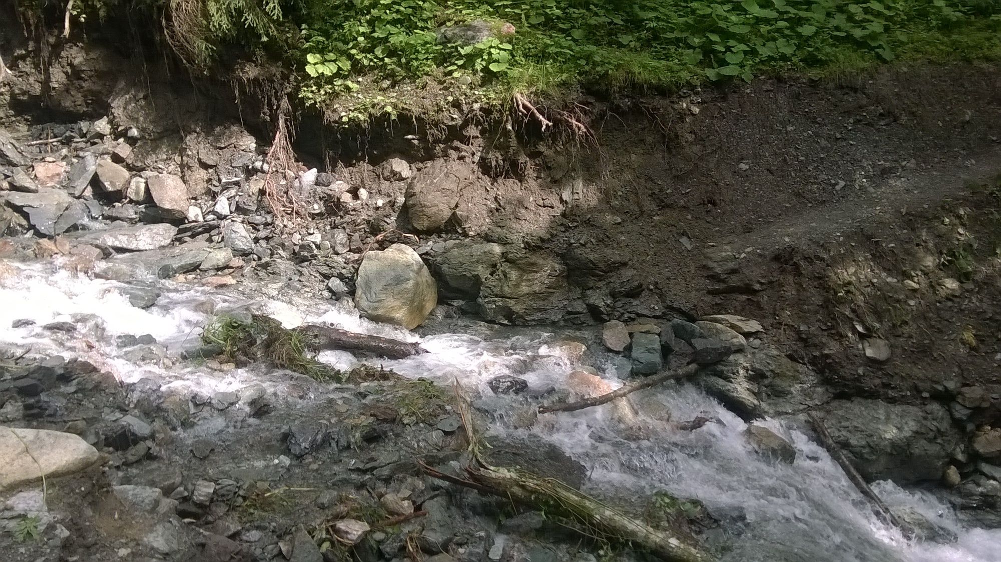
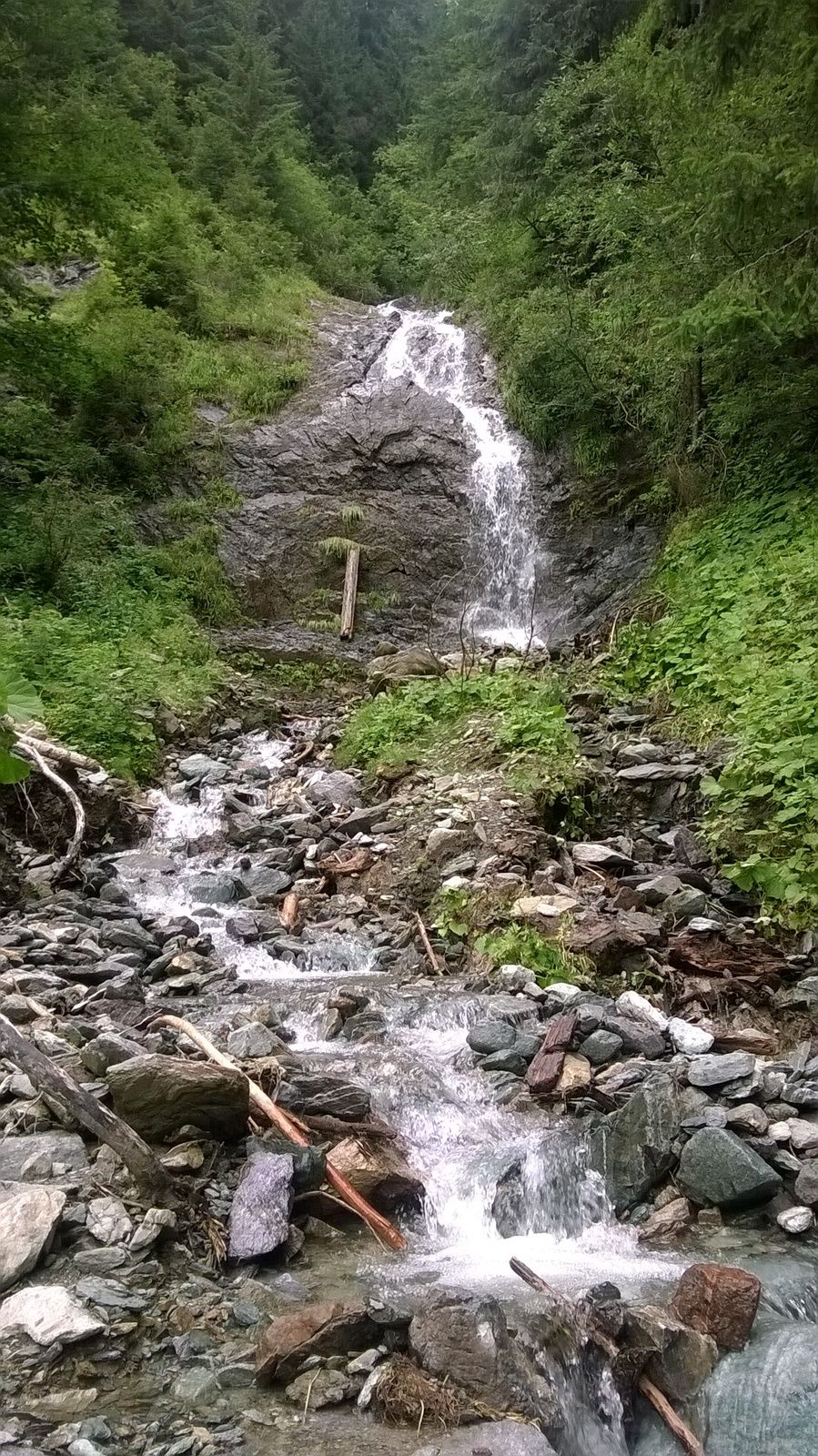
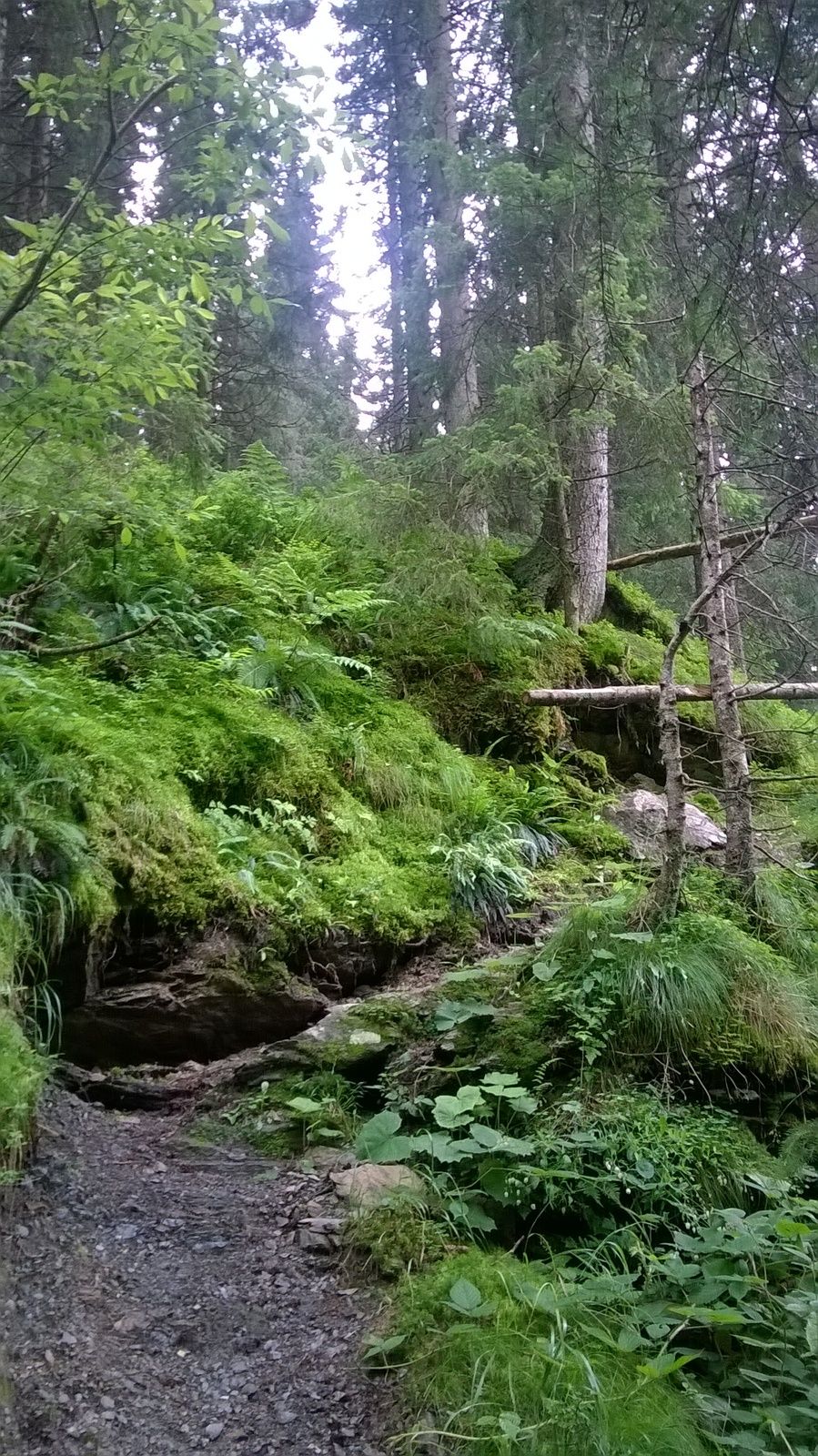
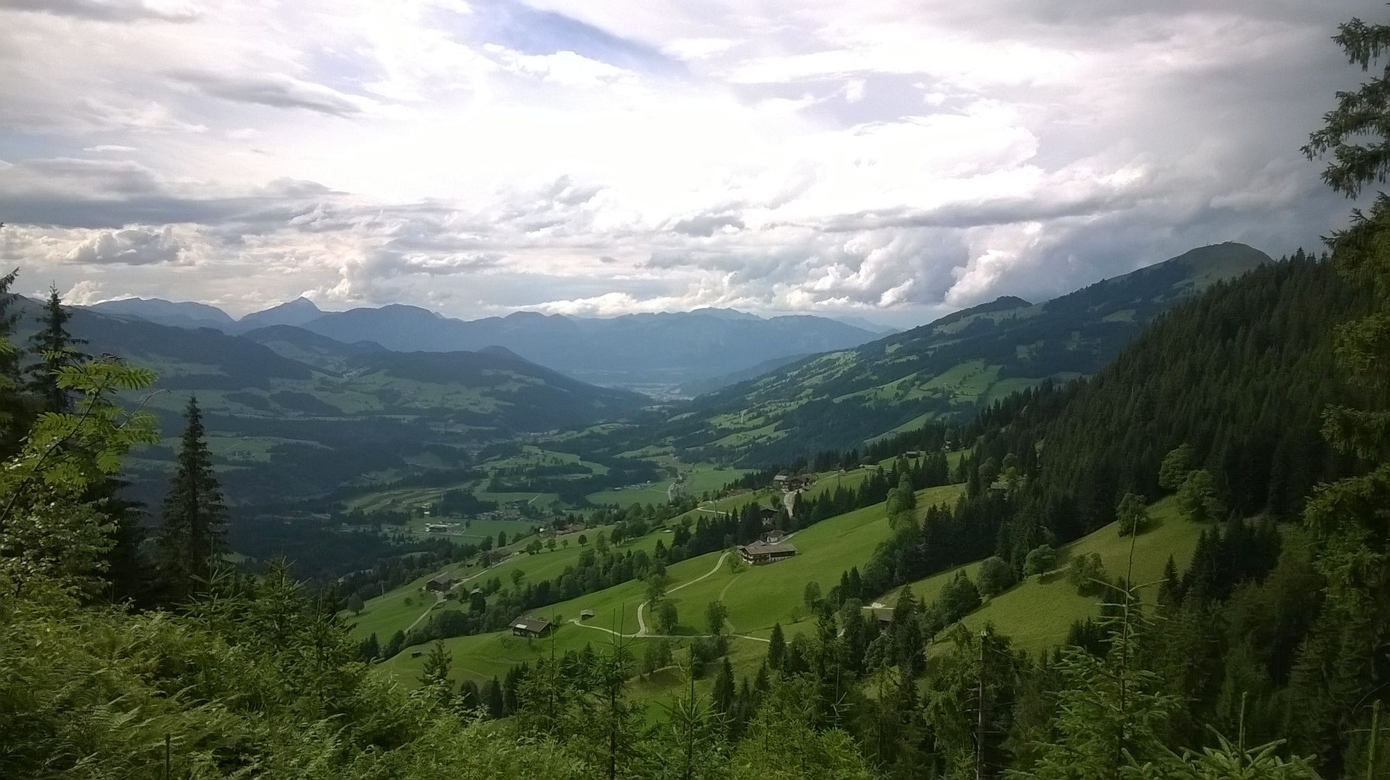
Von Westendorf über den Wohlfühlweg und Wassefallweg zum Brechhornhaus.
Teil 1/3 (bei 2-Tagestour #A) - Difficulty
-
medium
- Rating
-
- Starting point
-
Talstation Alpenrosenbahn ca. 800 m
- Route
-
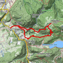
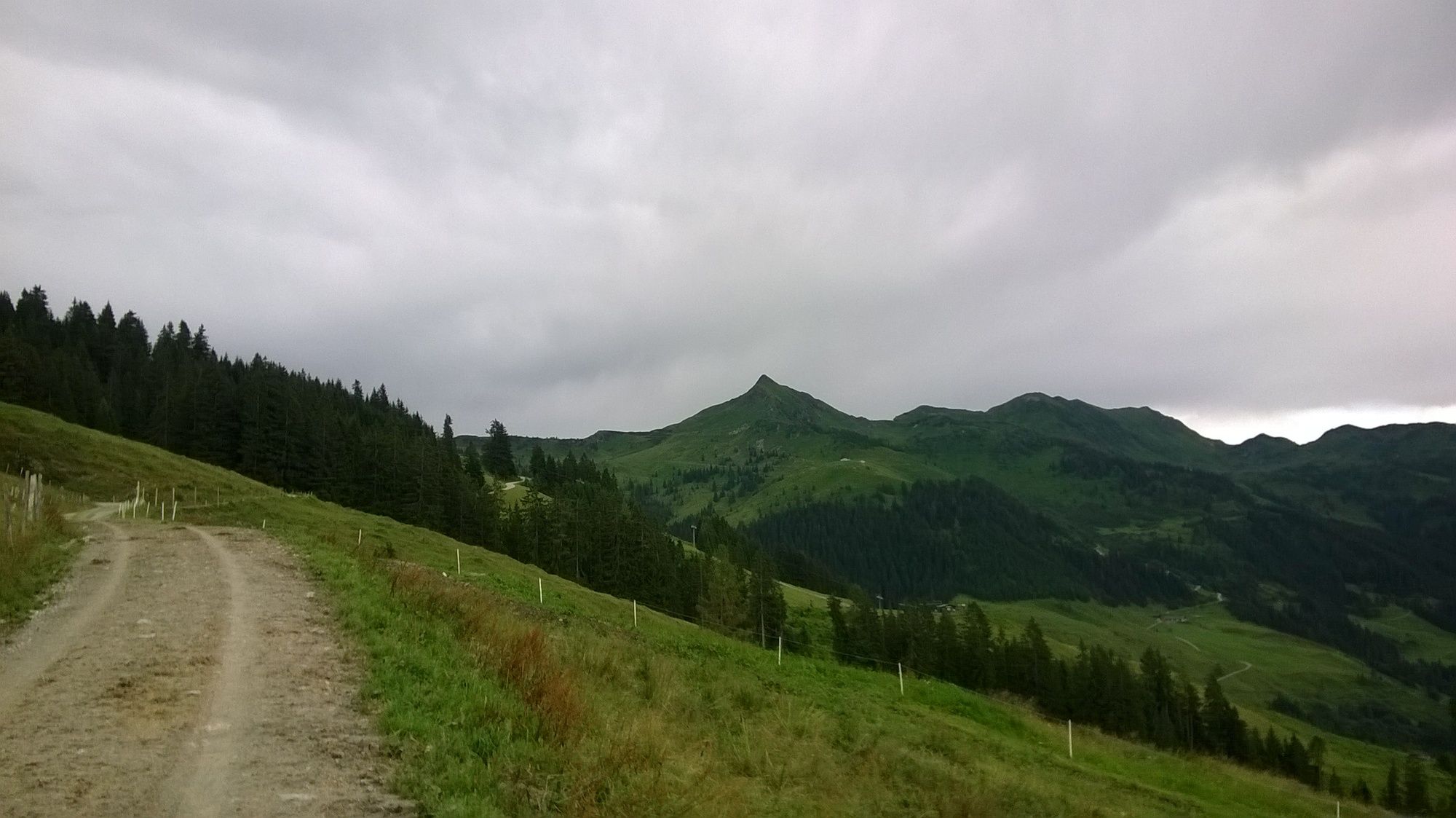
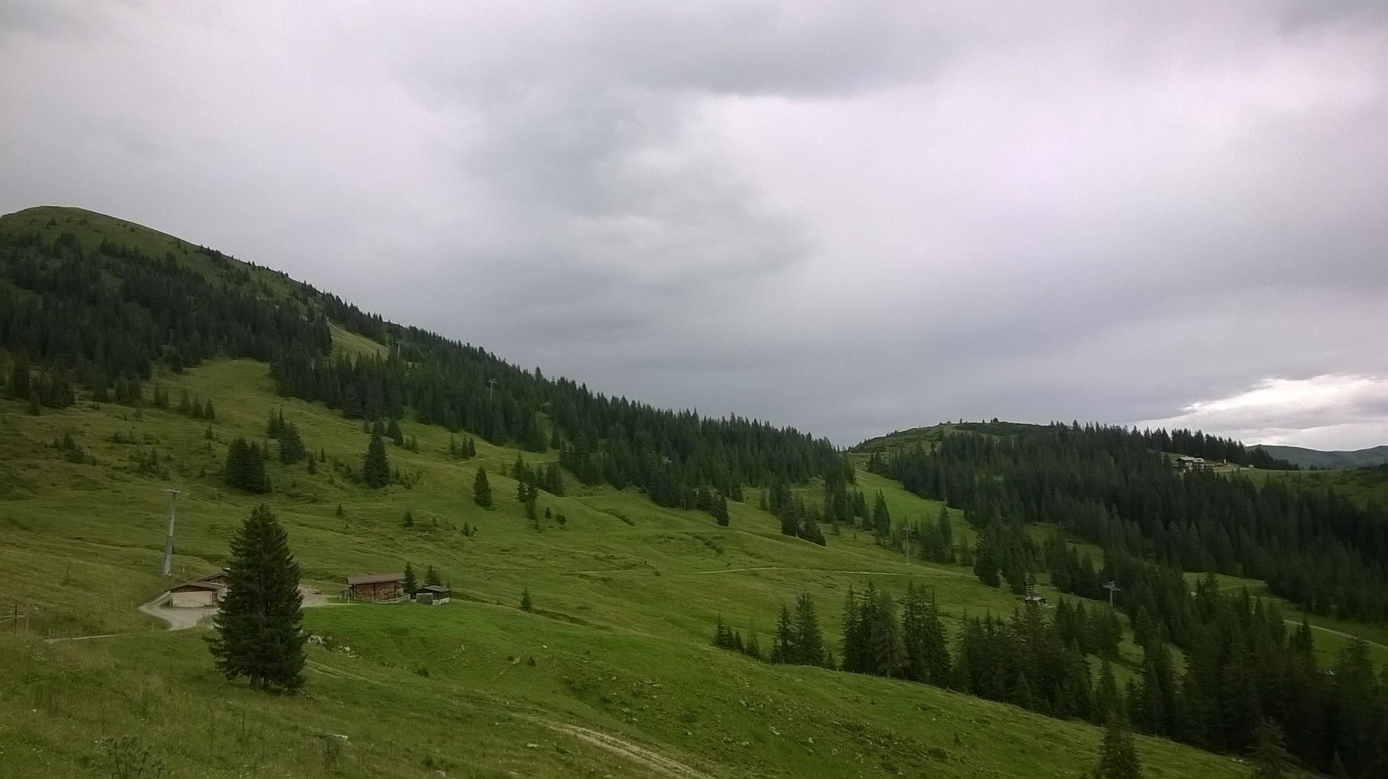
Westendorf0.1 kmSandfang0.7 kmBerggasthaus Stimmlach3.0 kmKapelle5.2 kmNeuhögen alt5.8 kmBrechhornhaus9.7 km
- Best season
-
JanFebMarAprMayJunJulAugSepOctNovDec
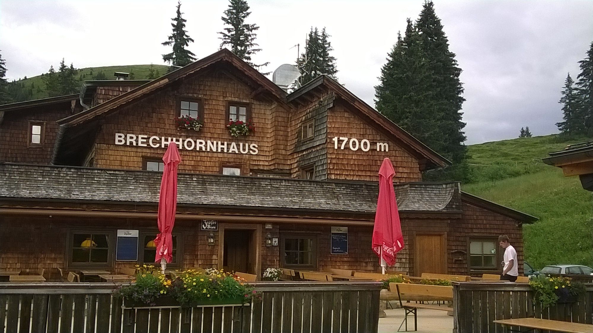
- Highest point
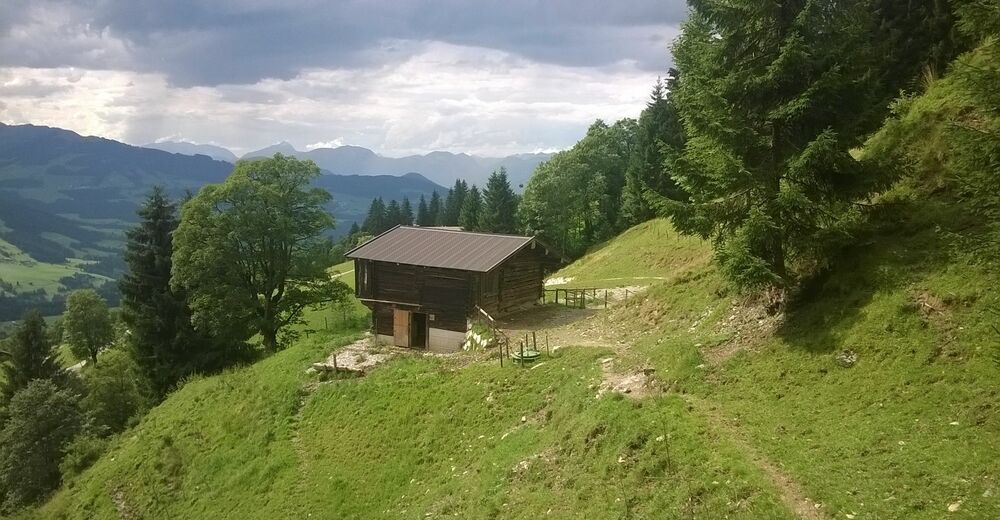
- Brechhornhaus (1,700 m)
- Endpoint
-
Brechhornhaus ca. 1700 m
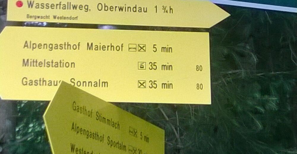
- Rest/Retreat
-
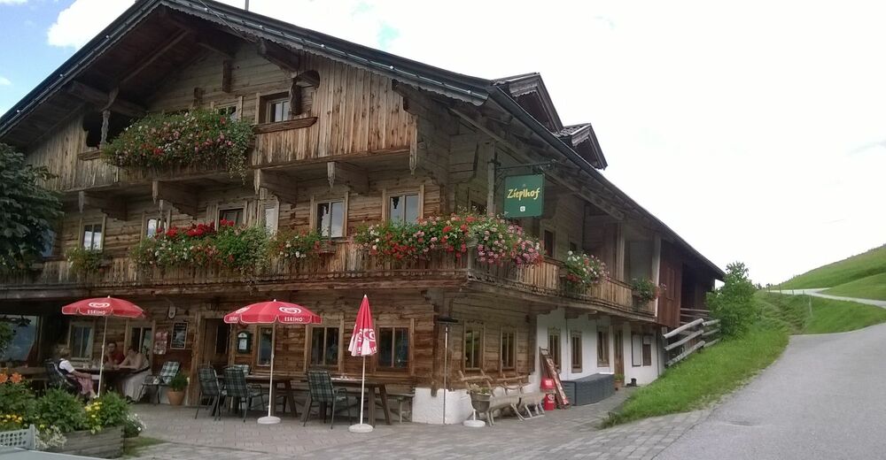
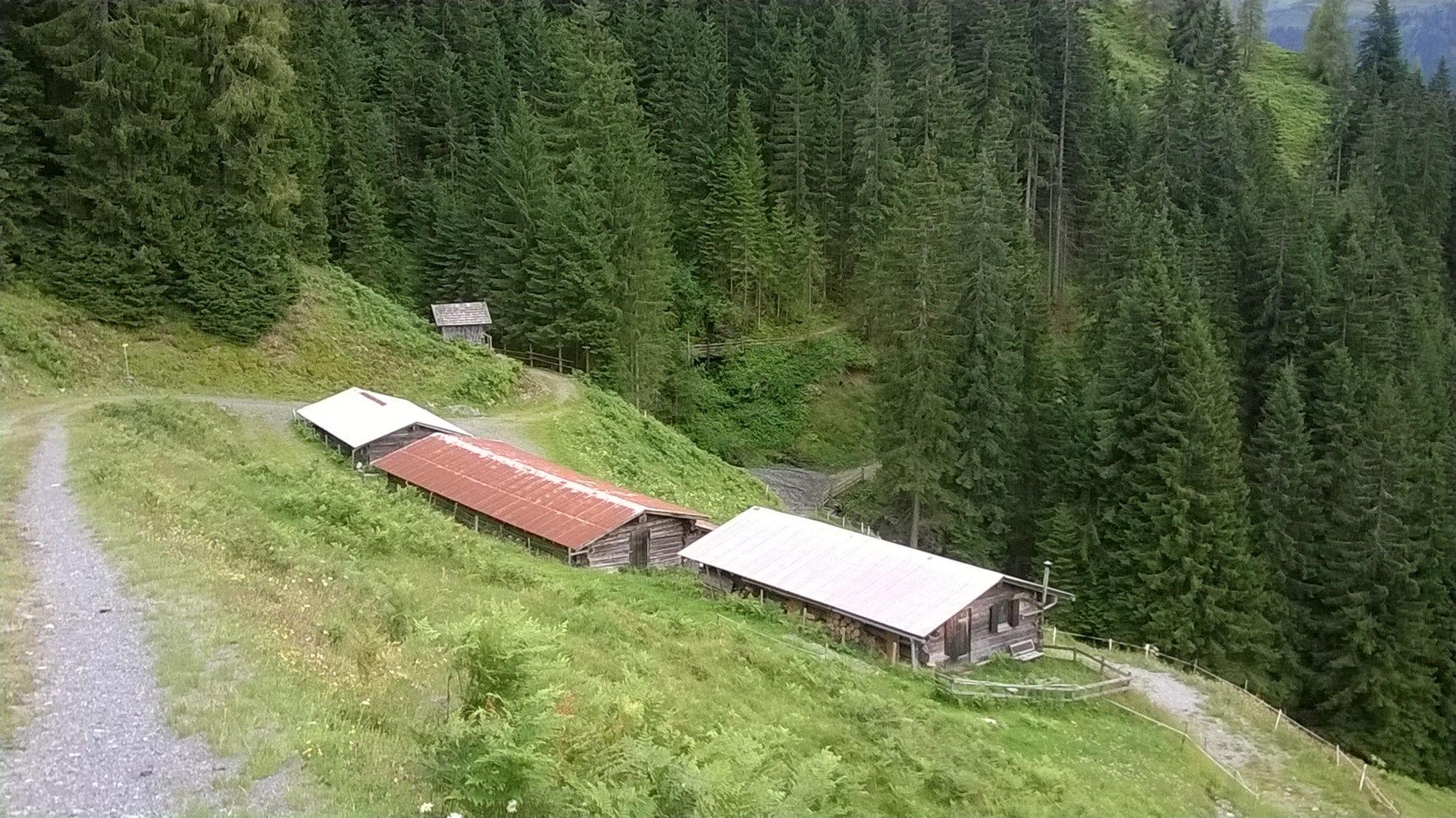
Zieplhof, Alte Mittel, Berggasthaus Stimmlach, Brechhornhaus
- Information


GPS Downloads


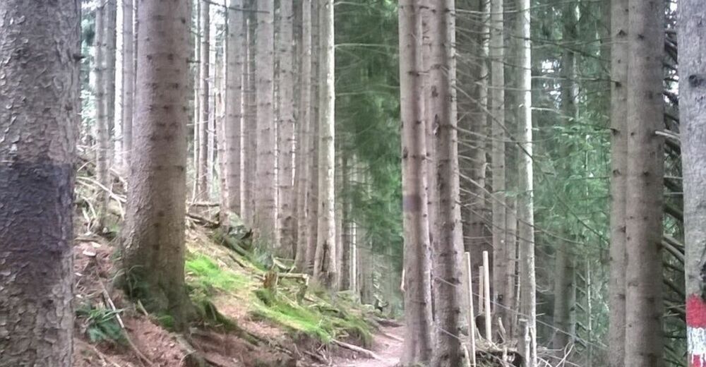
Trail conditions
Asphalt
(1100m)
Gravel
(4200m)
Meadow
(1000m)
Forest
(3500m)
Rock
Exposed
Other tours in the regions
-
Kitzbüheler Alpen - Brixental
1772
-
Westendorf
452