

© Österreichs Wanderdörfer - Christine Silberberger
Tour data
4.56km
1,124
- 1,867m
719hm
3hm
02:07h

Wildschönau
- Brief description
-
Hike to the striking Gratlspitz Mountain with a view of Wildschönau and the Alpbach valley.
- Starting point
-
Klinglerhof Thierbach
- Route
-
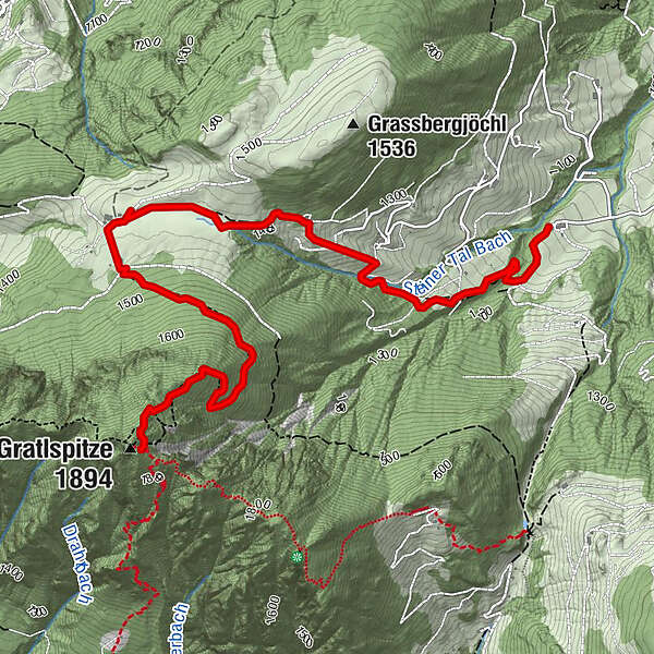
Holzalm2.7 kmGratlspitze (1,894 m)4.5 km
- Description
-
The Gratlspitz Mountain is the imposing zig-zag peak behind the village of Thierbach, visible from Niederau and Oberau. Years ago Wildschönauers would cross the Gratlspitz via Hösljoch to go to church in Alpbach.
Take the path behind the Gasthof Klinglerhof towards the Holzalm House and from there take the steep ascent to the beautiful Gradlspitz Peak. The climb is difficult in parts but well worth the effort.
- Highest point
- 1,867 m
- Endpoint
-
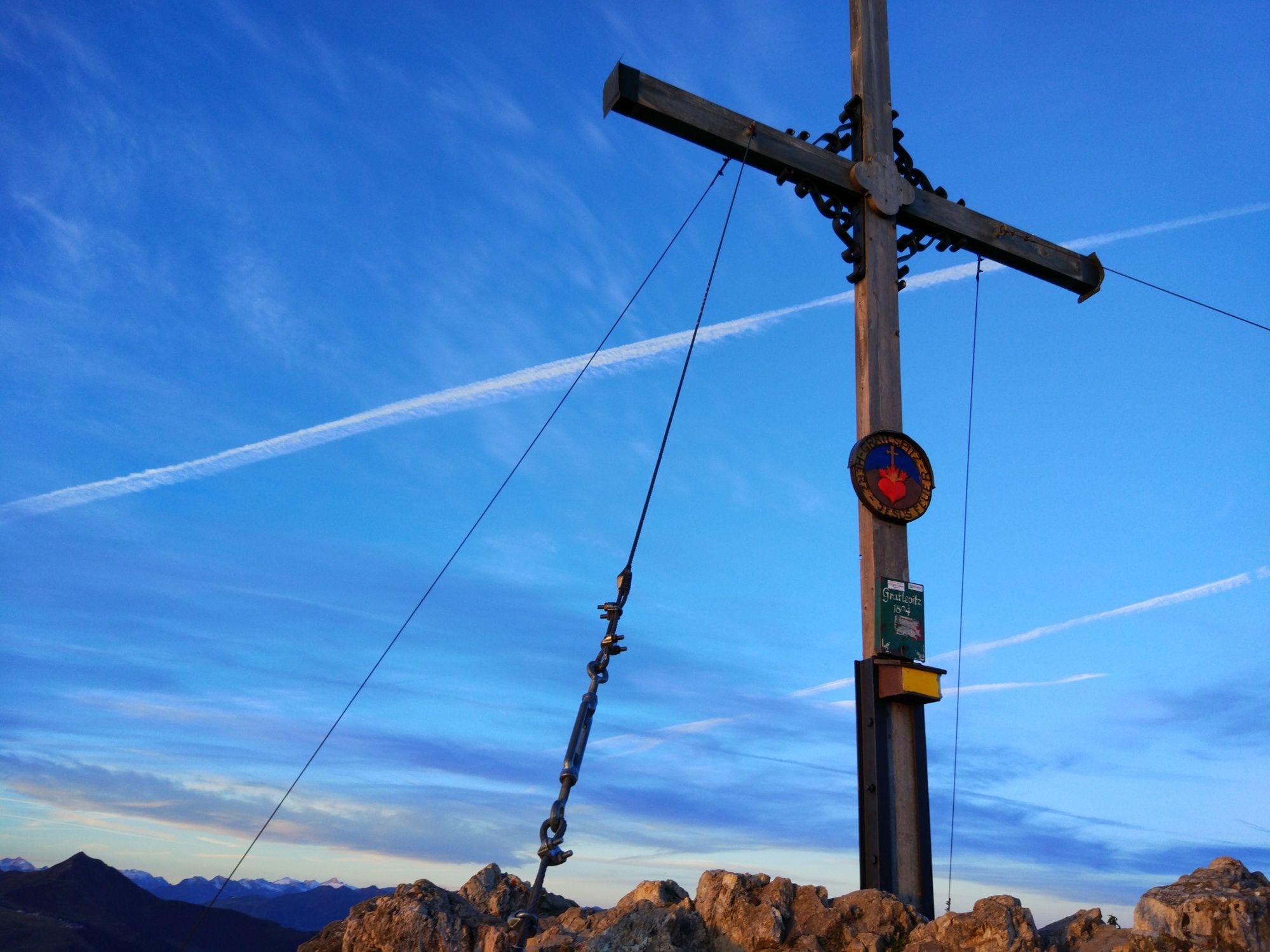
Gratlspitz
- Height profile
-

- Author
-
WildschönauThe tour Gratlspitz Mountain is used by outdooractive.com provided.
GPS Downloads


Other tours in the regions
-
Alpbachtal
1475
-
Alpbach
484


