© Tourismusverband Seefeld - Region Seefeld; Timo Borkowski

© Tourismusverband Seefeld - Region Seefeld


© Tourismusverband Seefeld - Region Seefeld; Timo Borkowski

- Brief description
-
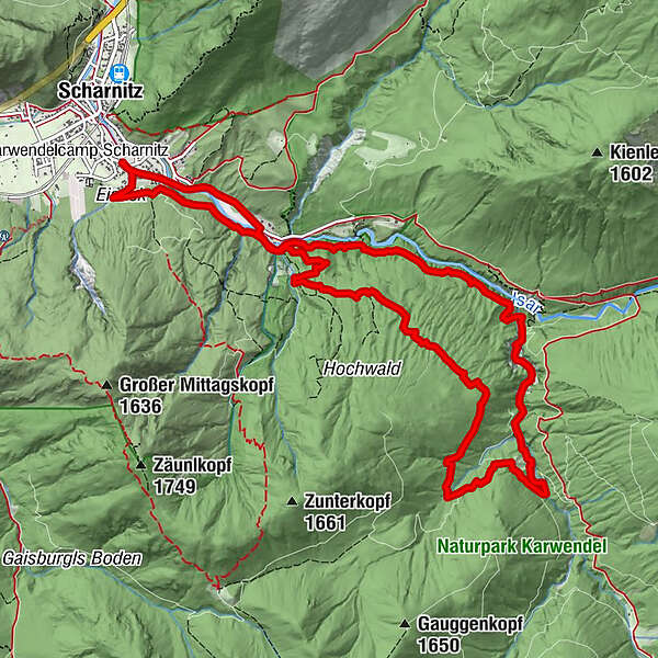
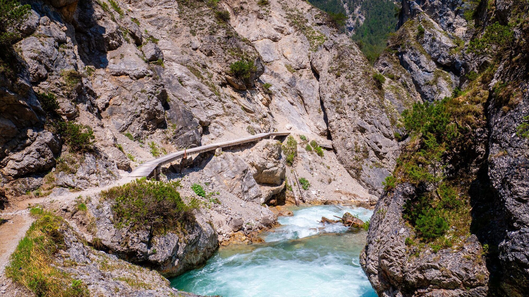
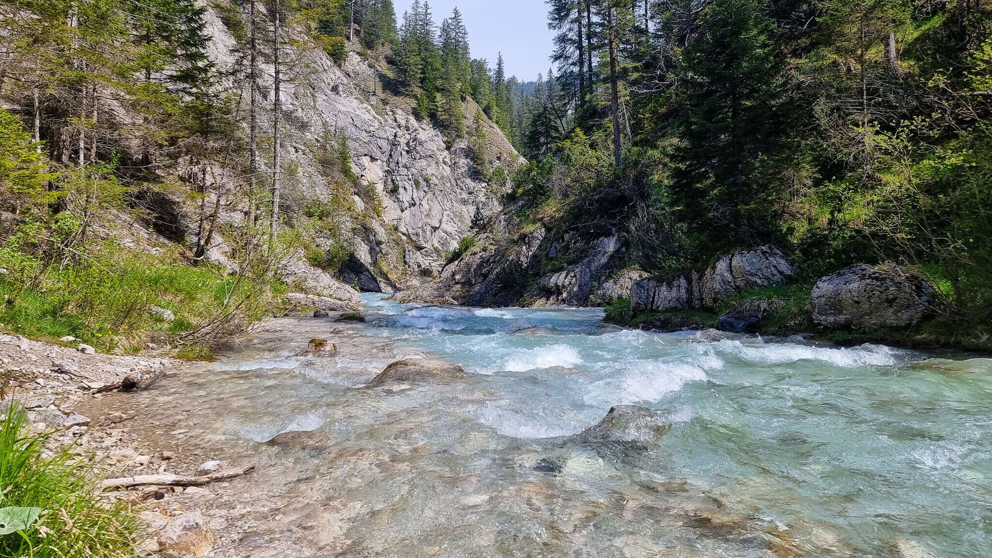
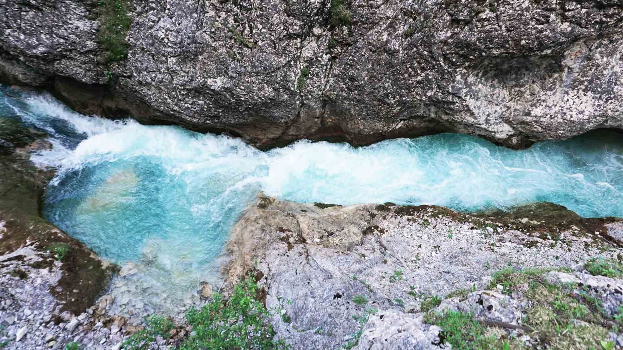
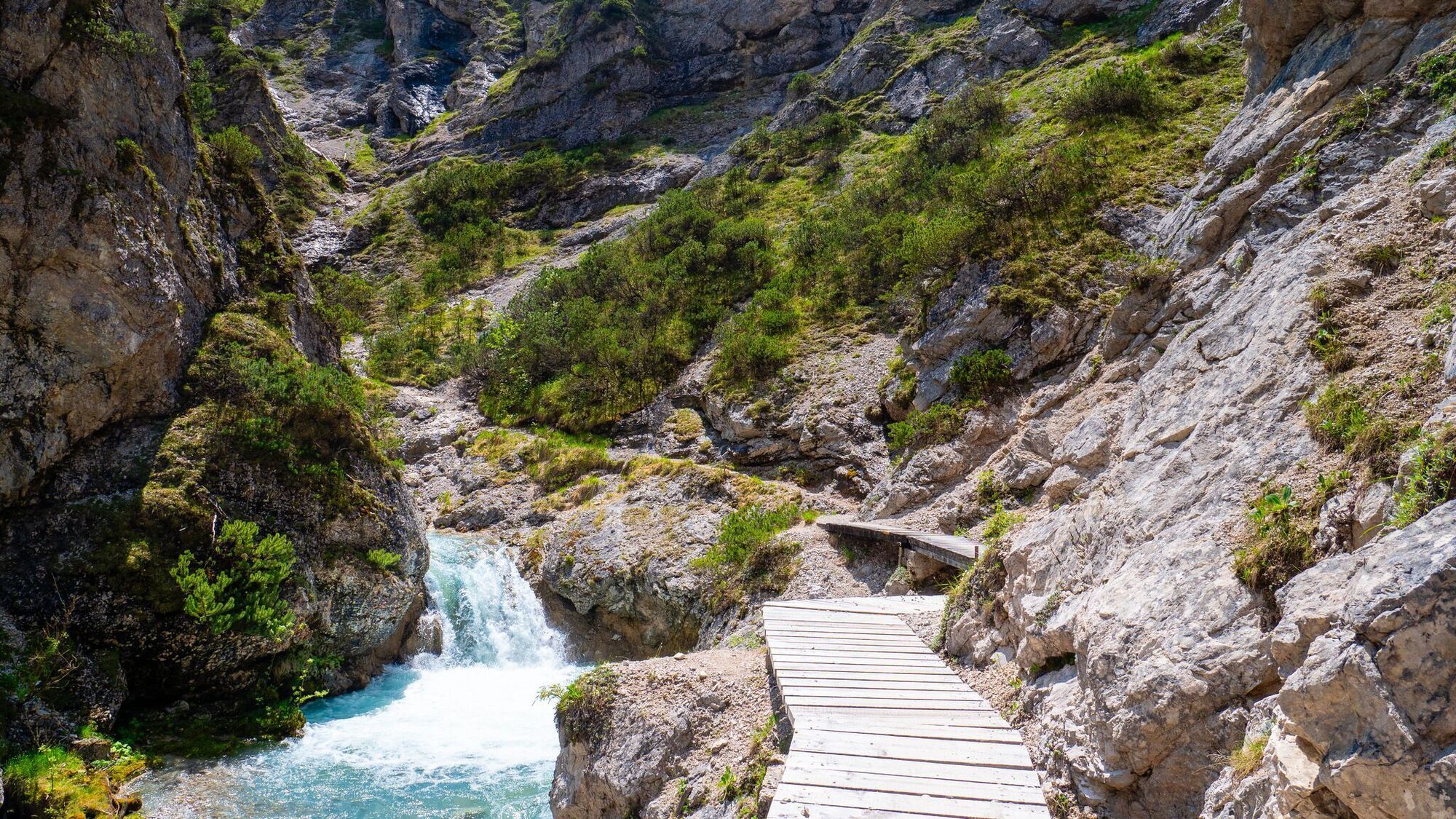
Erleben Sie eine atemberaubende und mittelschwere Rundwanderung durch die Gleirschklamm.
- Route
-
Natur-Erlebnis-Spielplatz bei der HolzerhütteSteinwald0.8 kmScharnitzer Alm2.1 kmHochwald9.1 kmKarwendelblick10.7 kmScharnitzer Alm11.5 kmNatur-Erlebnis-Spielplatz bei der Holzerhütte13.1 km
- Highest point
- 1,249 m
- Endpoint
-
Naturpark-Infozentrum Scharnitz (P2)
- Height profile
-

- Author
-
The tour Rundwanderung Gleirschklamm is used by outdooractive.com provided.
GPS Downloads


Other tours in the regions
-
Alpenwelt Karwendel
1625
-
Scharnitz
533