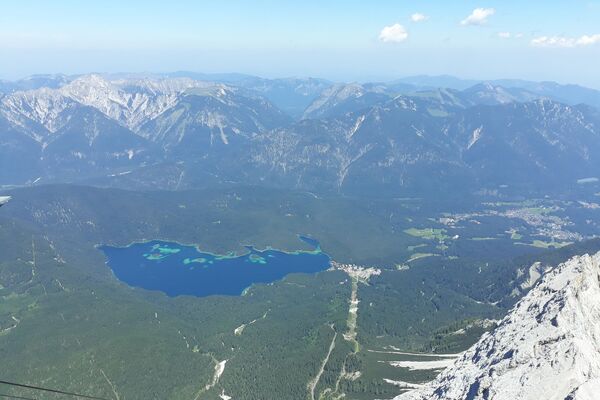
Wanderung zum Hochleithenkopf

Logo Wanderung zum Hochleithenkopf
Tour data
8.24km
1,078 - 1,187m
Distance
225hm
226hm
Ascent
02:22h
 
Duration
Brief description

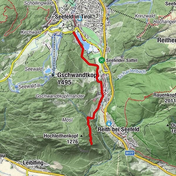
Genießen Sie eine leichte Wanderung zum Hochleithenkopf.

Route
Seefeld in Tirol (1,180 m)
Englhof
2.1 km
Auland
2.3 km
Mühlberg
3.0 km
Wassertal
3.2 km
Auland
5.7 km
Englhof
6.0 km
Seefeld in Tirol (1,180 m)
8.0 km

Highest point
1,187 m
Endpoint

Hochleithenkopf

Height profile

Author
The tour Wanderung zum Hochleithenkopf is used by outdooractive.com provided.

Overall rating

5

0

%

4

0

%

3

0

%

2

0

%

1

0

%

Error
An error has occurred. Please try again.
Thank you for your review

Rating has been deleted

GPS Downloads
  • GPX GPS Exchange Format (XML)
  • KML Google Earth, Google Maps
QR Download Codes for Mobile Phones
Other tours in the regions

Popular tours in the area

Höllentalklamm & Höllentorkopf - ein Rundweg

difficult Hiking
16.9km | 1336hm | 08:00h

"Königstour" über die Gipfel

Hiking
4.52km | 322hm | 04:00h