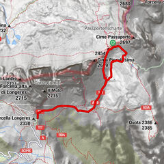
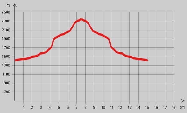
Tour data
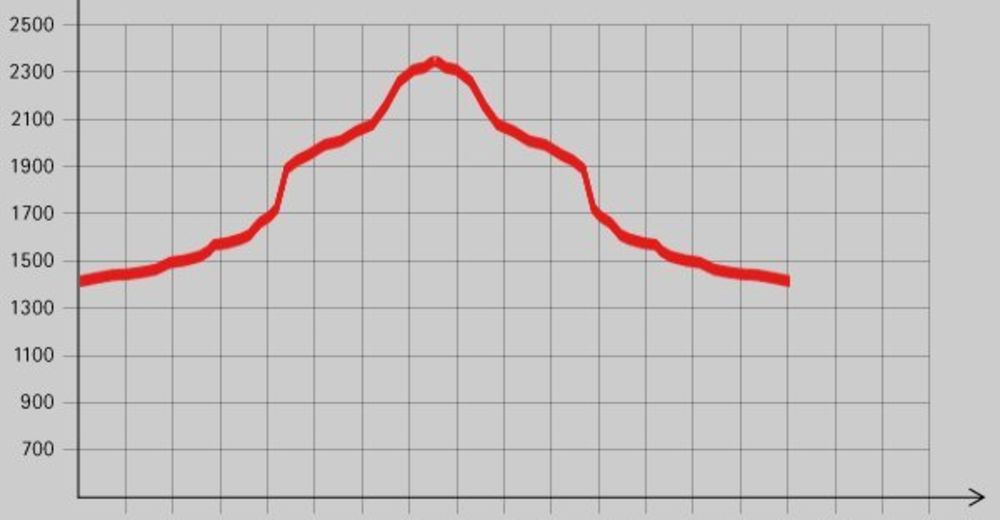
16.6km
1,443
- 2,328m
858hm
06:00h

- Brief description
-
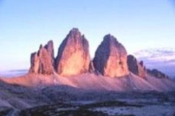
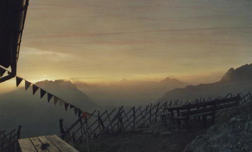
Schöne Tour mit Hütte als Ziel und Bademöglichkeit am Weg.
- Rating
-
- Starting point
-
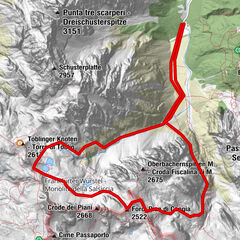
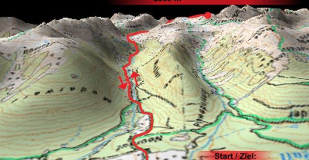
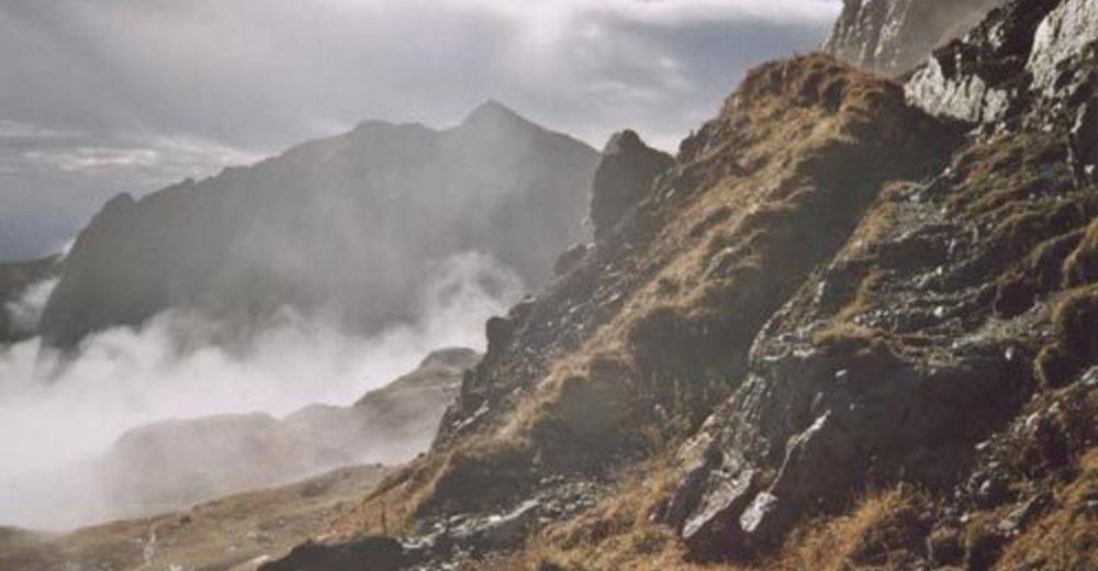
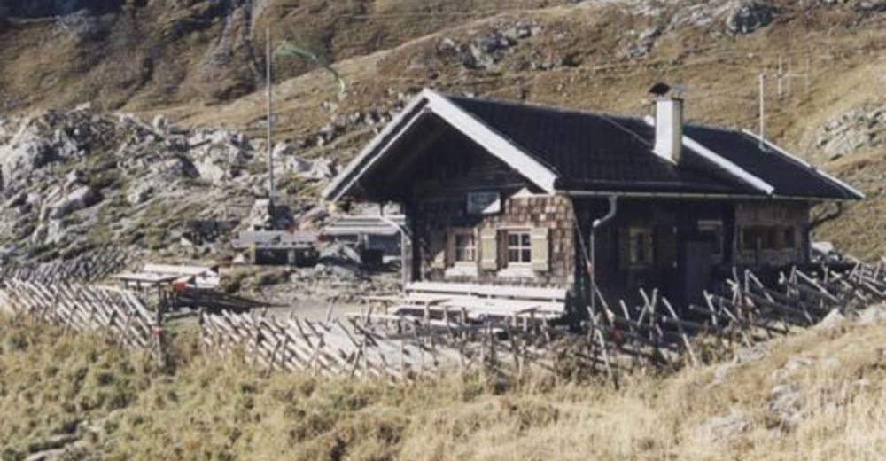
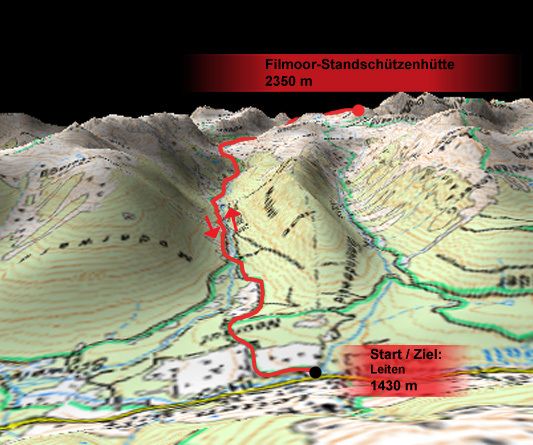
Leiten (1430 m)
- Route
-
Leiten0.3 kmFilmoor-Standschützenhütte8.2 km
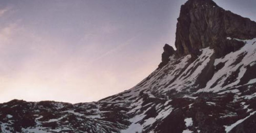
- Highest point
- 2,328 m
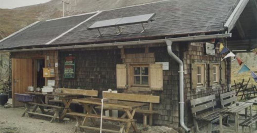
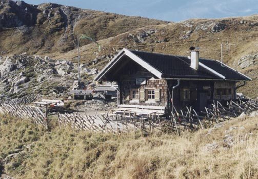
- Rest/Retreat
-
Filmoor-Standschützenhütte
- Ticket material


GPS Downloads


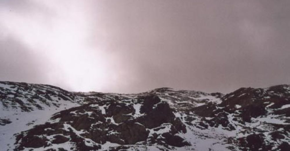
Trail conditions
Asphalt
Gravel
Meadow
Forest
Rock
Exposed
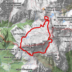
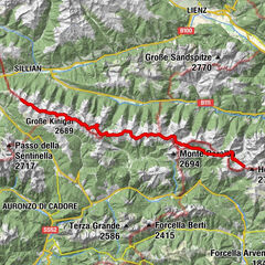
Other tours in the regions