
Tour data
9.7km
1,180
- 1,588m
422hm
03:30h
- Brief description
-
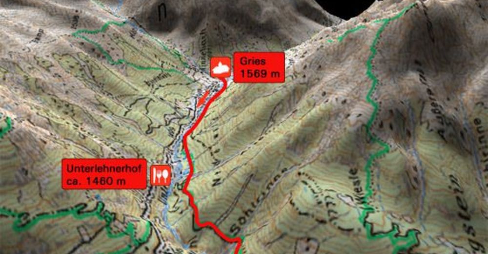
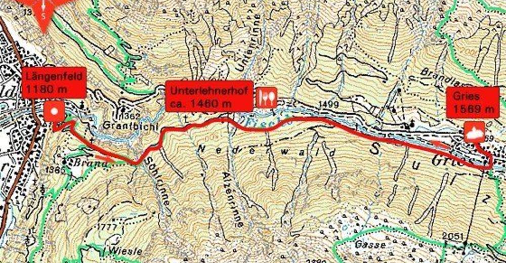
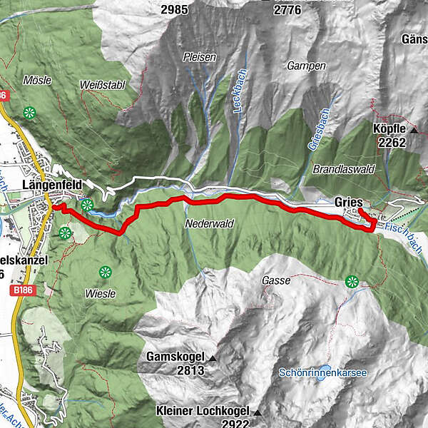
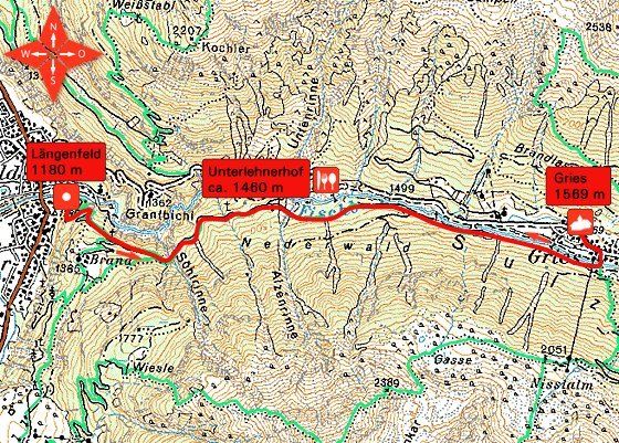
Die schöne Wanderroute führt neben dem wild rauschenden Fischbach bergauf nach Gries.
- Rating
-
- Starting point
-
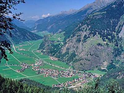
Längenfeld (1180 m)
- Route
-
Hl. KatharinaLängenfeld (1,179 m)OberlängenfeldRappenkofelquelle3.0 kmGries (1,569 m)4.0 kmSchöpf4.7 kmMariahilf4.8 km
- Highest point
- 1,588 m
- Rest/Retreat
-
Unterlehner Hof
- Ticket material

GPS Downloads


Trail conditions
Asphalt
Gravel
Meadow
Forest
Rock
Exposed
Other tours in the regions
-
Ötztal
1108
-
Längenfeld - Huben - Gries
355


