© Geigers Lifehotel

- Brief description
-
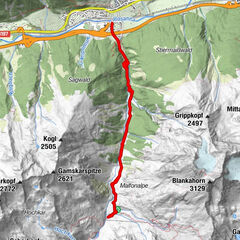
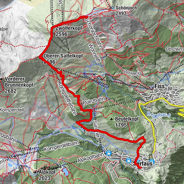
Eine Tour die leicht beginnt, sich langsam von der Steilheit steigert. Der steilste Aufstieg sind die letzten 280 hm. Der Ausblick entschädigt die Mühen.
- Difficulty
-
difficult
- Rating
-
- Route
-
Serfaus (1,429 m)Wallfahrtskirche Unsere Liebe Frau im Walde0.1 kmPfarrkirche Mariä Himmelfahrt0.2 kmUnterer Sattelkopf (2,091 m)4.9 kmKönigsleithebahn (2,326 m)5.9 kmOberer Sattelkopf (2,596 m)6.6 kmZwölferkopf (2,596 m)7.5 kmAlmbahn7.6 kmFisser Joch8.6 kmBergDiamant8.6 kmSchönjochbahn II (2,443 m)8.7 km
- Best season
-
JanFebMarAprMayJunJulAugSepOctNovDec
- Highest point
- 2,567 m
- Endpoint
-
Fisser Joch
- Height profile
-


- Author
-
The tour 18 Oberer Sattelkopf is used by outdooractive.com provided.
GPS Downloads


General info
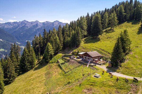
Refreshment stop
Other tours in the regions
-
Serfaus - Fiss - Ladis
933
-
Fiss
286